

© Tourismus Adelboden-Lenk-Kandersteg - Anja Sterchi

© Unbekannt

© Tourismus Adelboden-Lenk-Kandersteg - Anja Sterchi

© Tourismus Adelboden-Lenk-Kandersteg - Anja Sterchi

© Tourismus Adelboden-Lenk-Kandersteg - Barbara Stoller

© Tourismus Adelboden-Lenk-Kandersteg - Barbara Stoller

© Tourismus Adelboden-Lenk-Kandersteg - Barbara Stoller

© Outdooractive – 3D Videos
- Difficulty
-
medium
- Rating
-
- Route
-
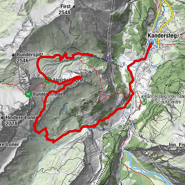
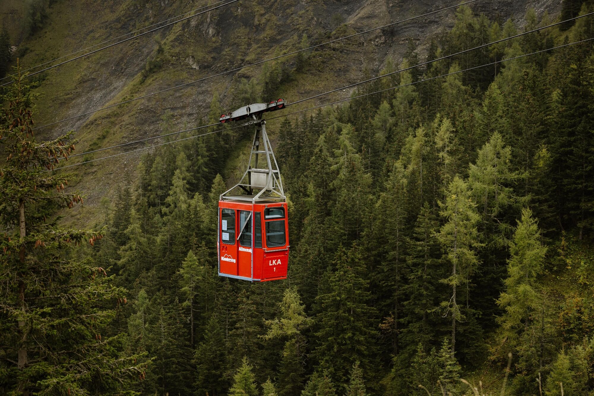
Allmenalp (1,725 m)Alp Obere Allmen1.2 kmOber Allme2.0 kmAlpschelenhubel3.8 kmAlpschelehubel (2,247 m)3.8 kmAlpschelen5.4 kmKandersteg (1,174 m)12.6 km
- Best season
-
JanFebMarAprMayJunJulAugSepOctNovDec
- Description
-
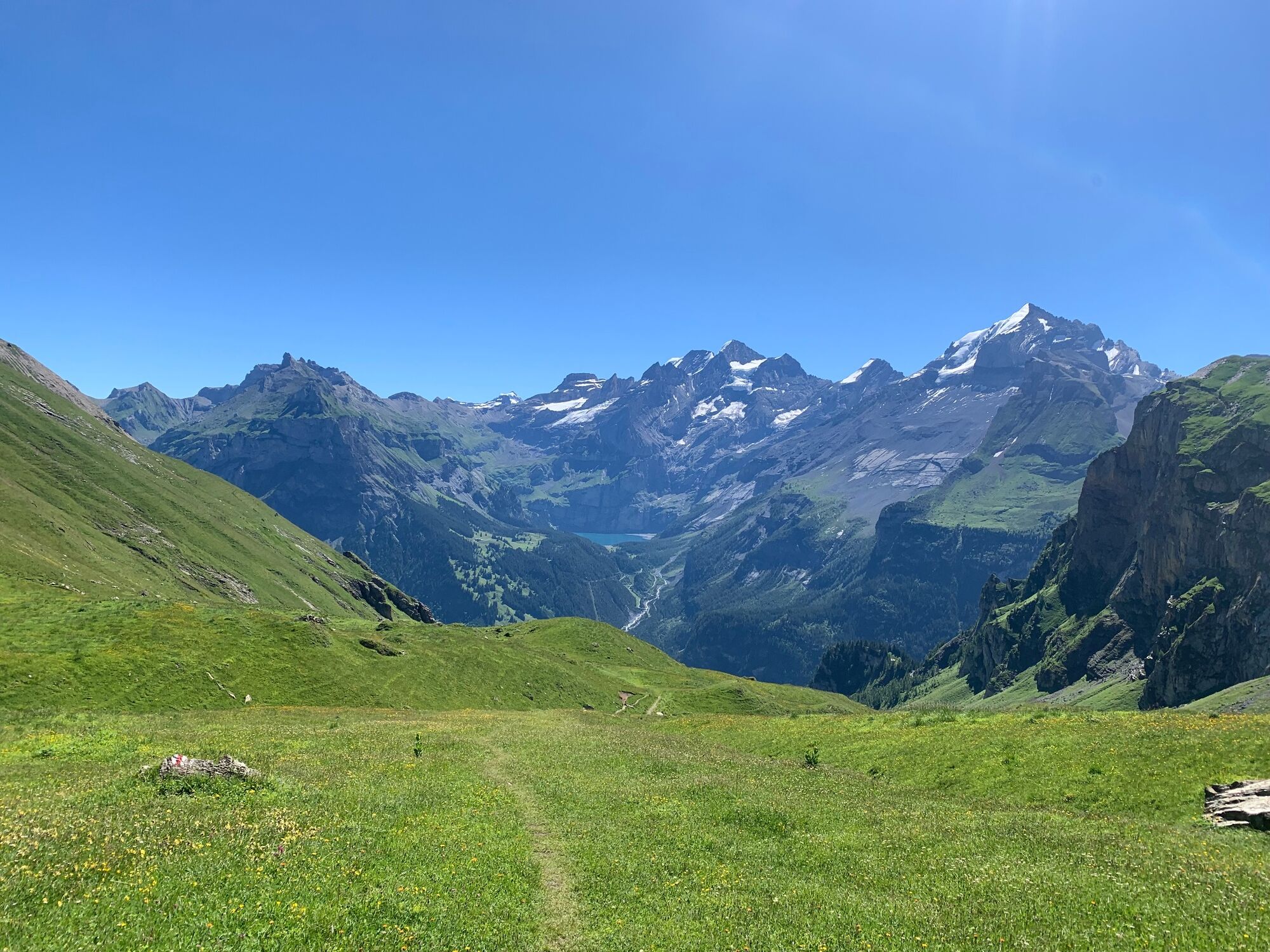
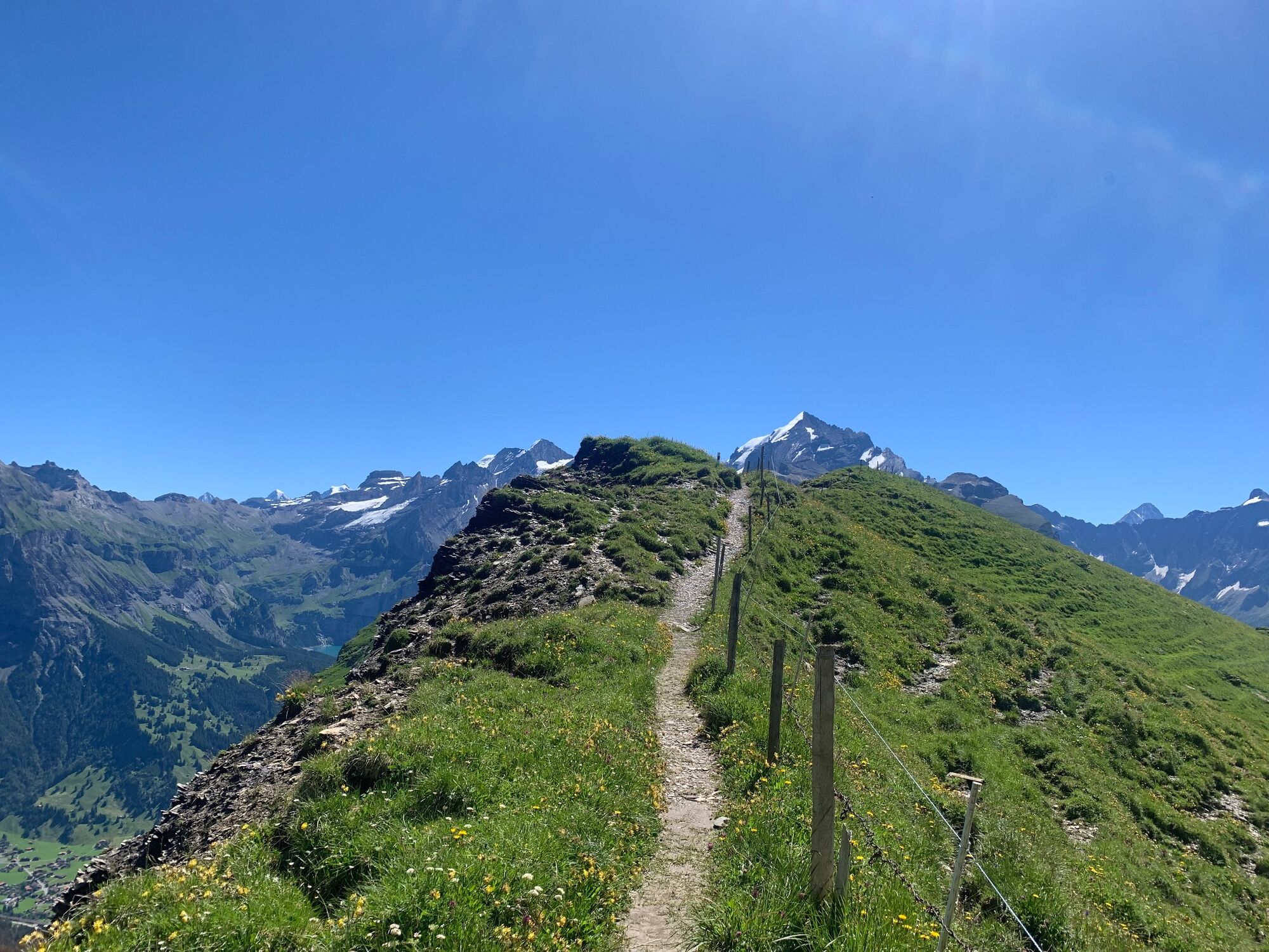
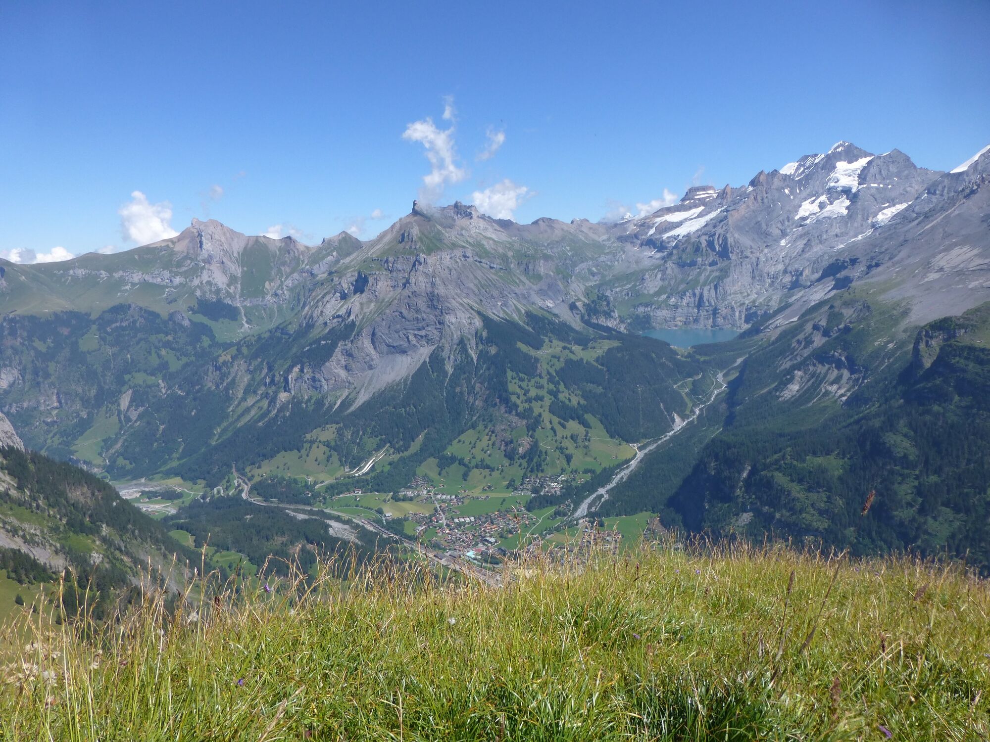
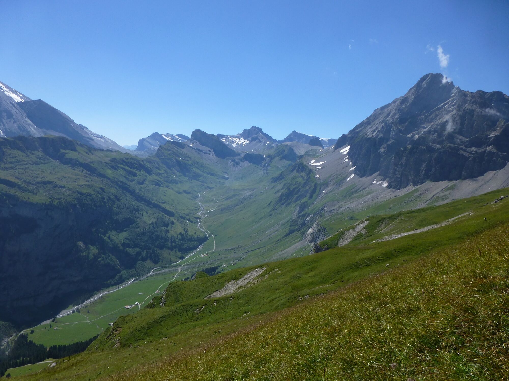
From the Alpschelenhubel you have a magnificent panoramic view of the Blüemlisalp mountain range, Balmhorn, Altels and others.
You reach Alpschelenhubel from Allmenalp cable car mountain station, and continue in the direction of Obere Allme where the mountain route winds to the left over a rocky section towards Bunderchrinde. On Alpschelengrat the mountain route continues to Descent via Alp Alpschelen into the Ueschene valley to Kandersteg.
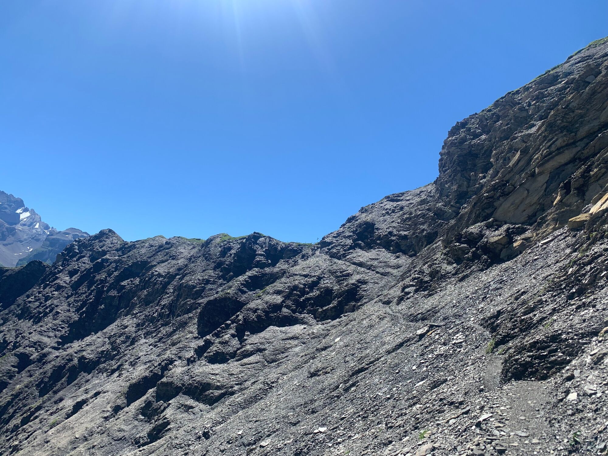
Only suitable for experienced walkers with good trekking shoes and safe step.
- Highest point
- 2,270 m
- Endpoint
-
Kandersteg
- Height profile
-
 © outdooractive.com
 - Equipment
-
Sure-footed hikers with good trekking boots will feel at home on the partly exposed terrain of this red and white marked tour.
- Safety instructions
-
Even open hiking trails may still be partially covered in snow. Hiking is at your own risk: Tourismus Adelboden-Lenk-Kandersteg accepts no liability for the use of local routes.
- Tips
-
Nature and culture accompany every tour - but which alpine themes are currently topical in the Adelboden-Lenk-Kandersteg destination? If you subscribe to our newsletter, you'll know what's going on along the way.
- Directions
- Public transportation
- Parking

-

-
AuthorThe tour Alpschelenhubel is used by outdooractive.com provided.
GPS Downloads


General info
A lot of view
Other tours in the regions
-
Oberwallis
1872
-
Ferienregion Kandertal
1104
-
Kandersteg - Sunnbüel
297


