


- Brief description
-
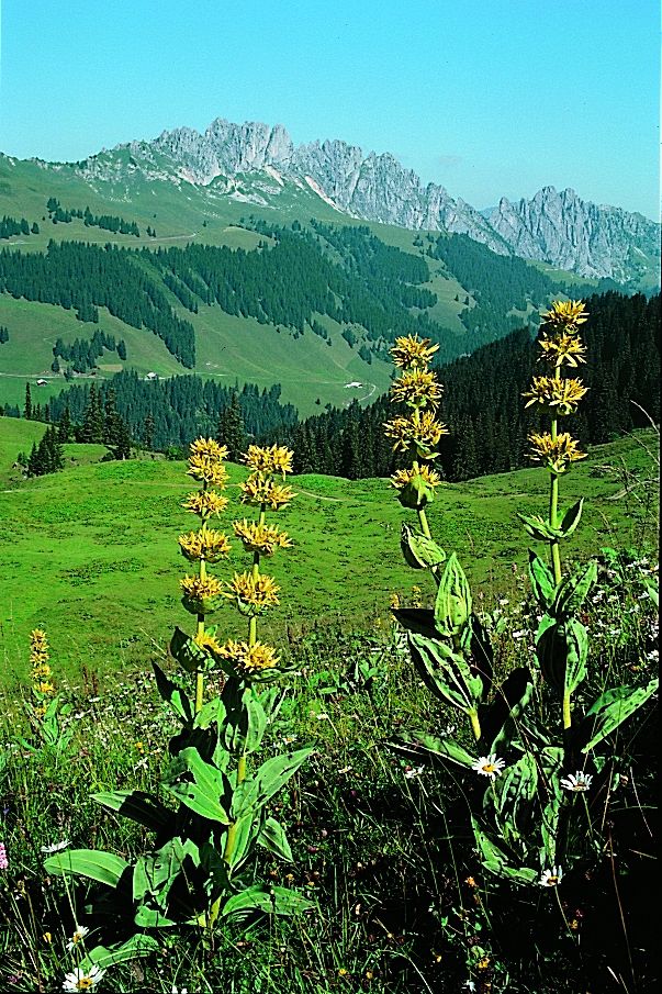
Bergwanderweg ab Bire. Wanderung aus dem üppig-grünen Saanenland dem Simnegrabe entlang zur aussichtsreichen Bire. Anschliessend leichte Bergwanderung über den Hugeligrat zum Rellerli: eine Höhenwanderung im wahrsten Sinne des Wortes! Weite Ausblicke über Täler und Dutzende von Vor- und Hochalpengipfeln. 2 km Hartbelag zu Beginn der Wanderung.
- Difficulty
-
medium
- Rating
-
- Route
-
Schönried (1,231 m)Pizzeria da Corrado0.1 kmLa Nicchia0.2 kmSchönried (1,200 m)0.3 kmBire (1,789 m)5.8 kmRellerligrat (1,843 m)10.5 kmSchönried (1,200 m)14.7 kmLa Nicchia14.8 kmPizzeria da Corrado14.8 kmSchönried (1,231 m)15.0 km
- Best season
-
JanFebMarAprMayJunJulAugSepOctNovDec
- Highest point
- 1,859 m
- Endpoint
-
Schönried
- Height profile
-
 © outdooractive.com
- Author
-
The tour Über Hugeli- und Rellerligrat is used by outdooractive.com provided.
GPS Downloads


General info
Refreshment stop
A lot of view
Other tours in the regions
-
Alpes Vaudoises
993
-
Destination Gstaad
742
-
Schönried
192


