


© Interlaken Tourismus - Mike Kaufmann

© Interlaken Tourismus - Mike Kaufmann

© Interlaken Tourismus - Mike Kaufmann

- Brief description
-
This walk through Interlaken takes you to the English and Japanese gardens and the Interlaken monastery before circling the Höhematte, crossing the River Aare and calling at the town hall square of Unterseen.
- Difficulty
-
easy
- Rating
-
- Starting point
-
Railway station Interlaken Ost
- Route
-
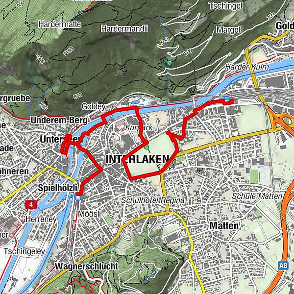
Interlaken Ost (567 m)0.1 kmHeiliggeist0.6 kmSchlosskirche0.7 kmGruebi1.4 kmInterlaken (568 m)1.9 kmUsseri Zälg2.3 kmAarzälg2.6 kmGoldey2.7 kmUnterseen (567 m)3.2 kmUnderem Berg3.3 kmStedli3.4 kmSpielmatte3.6 kmBleikimatta3.9 kmHübeli4.0 kmArmüli4.1 kmInterlaken West (564 m)4.1 kmSpielhölzli4.3 km
- Best season
-
JanFebMarAprMayJunJulAugSepOctNovDec
- Description
-
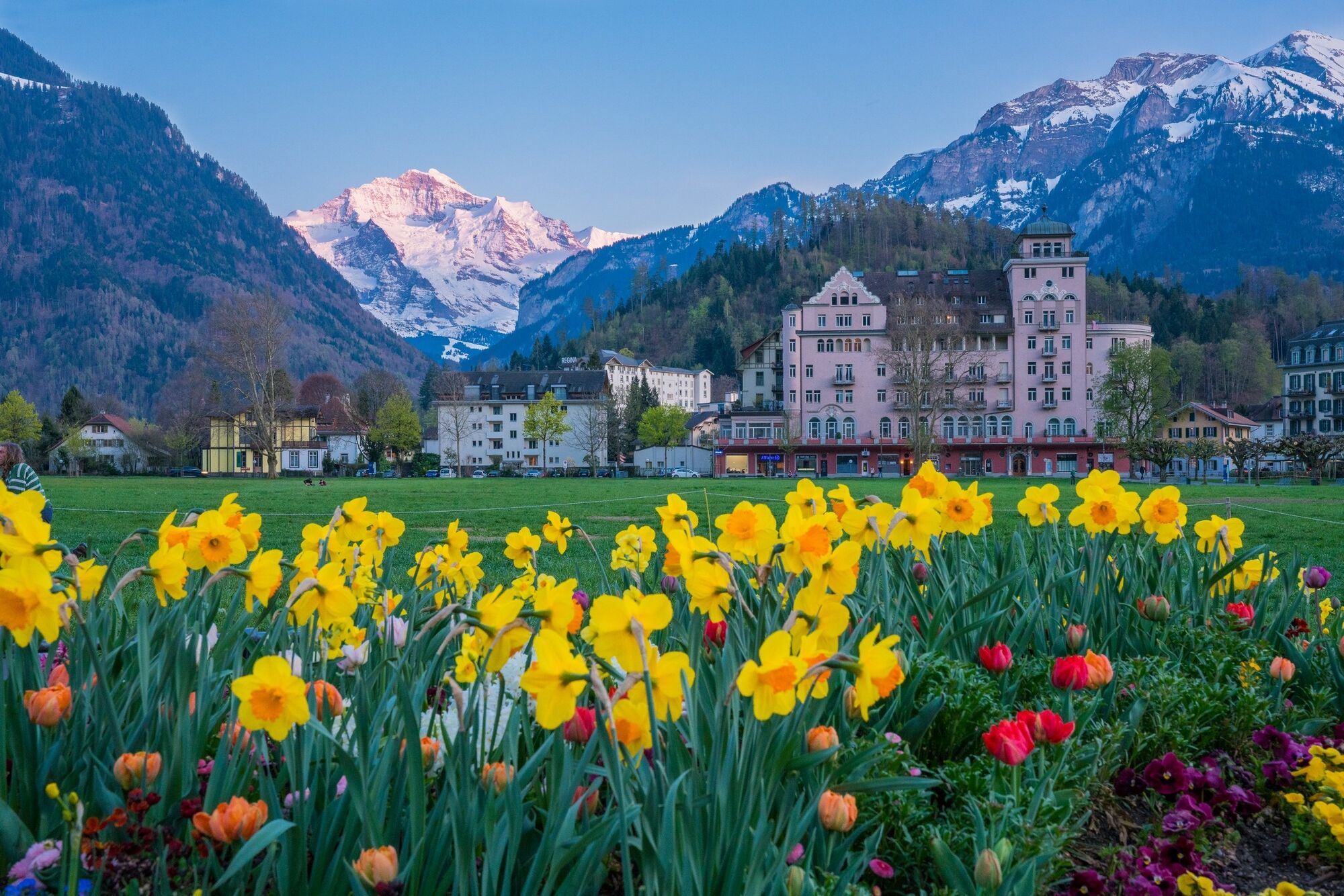
From Ostbahnhof station, the route heads towards the centre of town, crossing the English Garden and the memorial to Adolf Guyer-Zeller (constructor of the Jungfrau Railway) and passing the Hotel Beau Rivage. You then cross the road and stroll through the Japanese Garden, arriving at the churches and ancient structures of the monastery. Heading south, you circle the Höhematte until you reach the Restaurant Schuh. When the weather is good, you may see paragliders landing in the park.
The construction of buildings that would impair the view of the imposing Jungfrau is banned in the famous Höhematte Park. You then head east along the ridgeway to the Meersman fountain before crossing to the flower-filled Kursaal Park. Pass between the old and new buildings to the River Aare, cross the bridge and turn left along the Aare to the central pedestrian bridge. From here you can enjoy great views of the old town and the perfect pyramid of the Niesen.
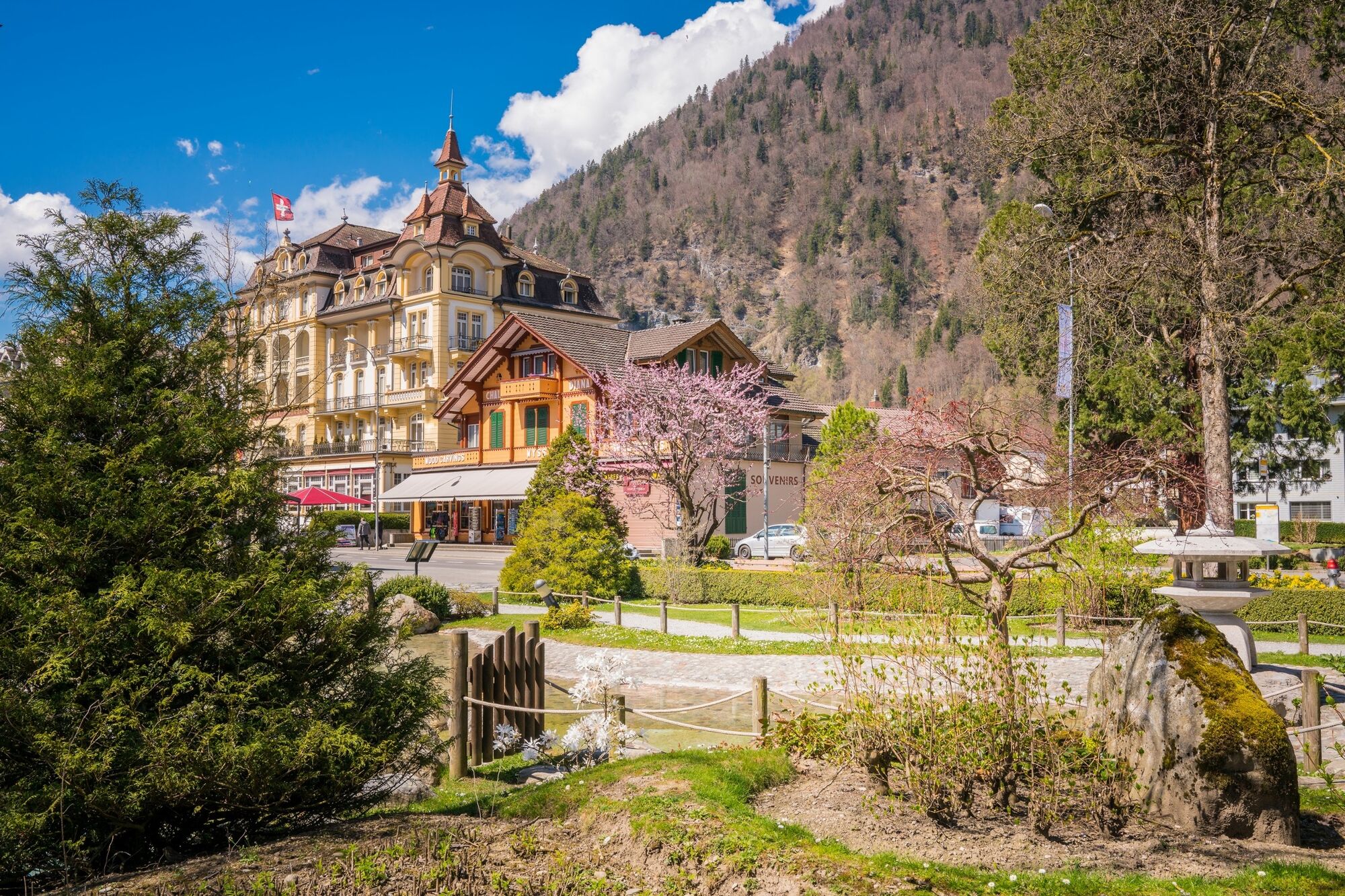
You then continue to the old town of Unterseen, part of which has been renovated and recreated to modern-day standards. Unterseen, the uppermost town on the Aare, has a town charter. Next, the route goes from the town hall square and back via Untere Gasse to the bridge, and through the Spielmatte and Marktgasse to Postplatz. You then head down Bahnhofstrasse to the Westbahnhof. Optional: Take a bus or train back to Interlaken Ost station.
Want to discover yet more hiking trails?
Learn more about the various hiking opportunities in the Bernese Oberland. - Highest point
- 569 m
- Endpoint
-
Railway station Interlaken West
- Height profile
-
 © outdooractive.com
 - Tips
-
Visit the Alpine Wildlife Park with its ibex and marmots, the Hohbühl viewpoint, or take a side trip to the Harder Kulm - Top of Interlaken.
- Additional information
- Public transportation
-
Getting to Interlaken Ost station by train, bus or boat
Getting to Interlaken West station by train, bus or boat


- Author
-
The tour Interlaken walkabout is used by outdooractive.com provided.
GPS Downloads


General info
Refreshment stop
Cultural/Historical
A lot of view
Other tours in the regions
-
Aletsch Arena
1485
-
Interlaken
1112
-
Interlaken - Matten - Unterseen
469


