


- Rating
-
- Starting point
-
Wilderswil, railway station
- Route
-
WilderswilGsteig0.2 kmKirche Gsteig0.2 kmSteakhouse Steinbock0.2 kmGsteigwiler2.8 kmZweilütschinen5.8 kmStation5.9 km
- Best season
-
JanFebMarAprMayJunJulAugSepOctNovDec
- Description
-
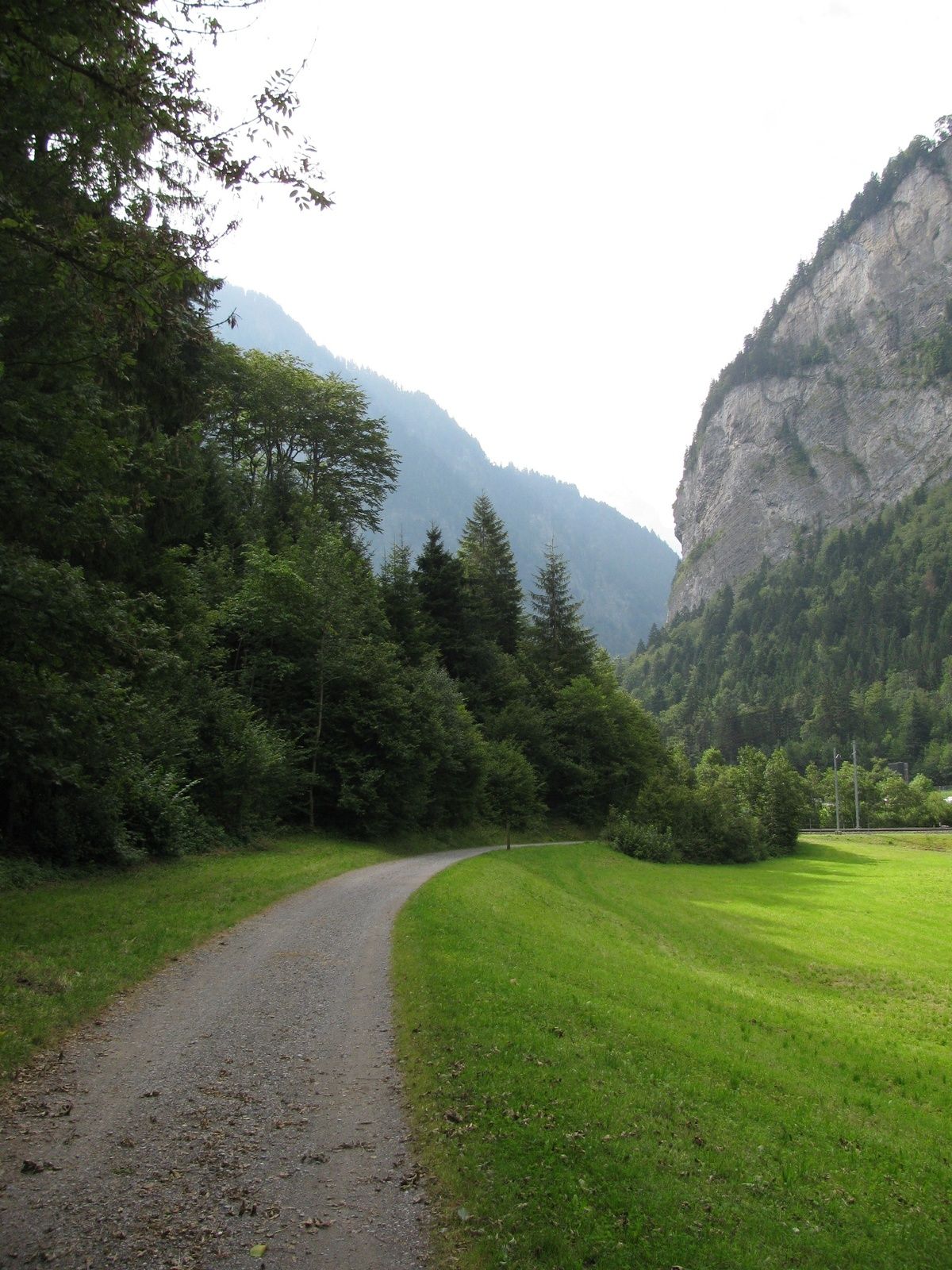
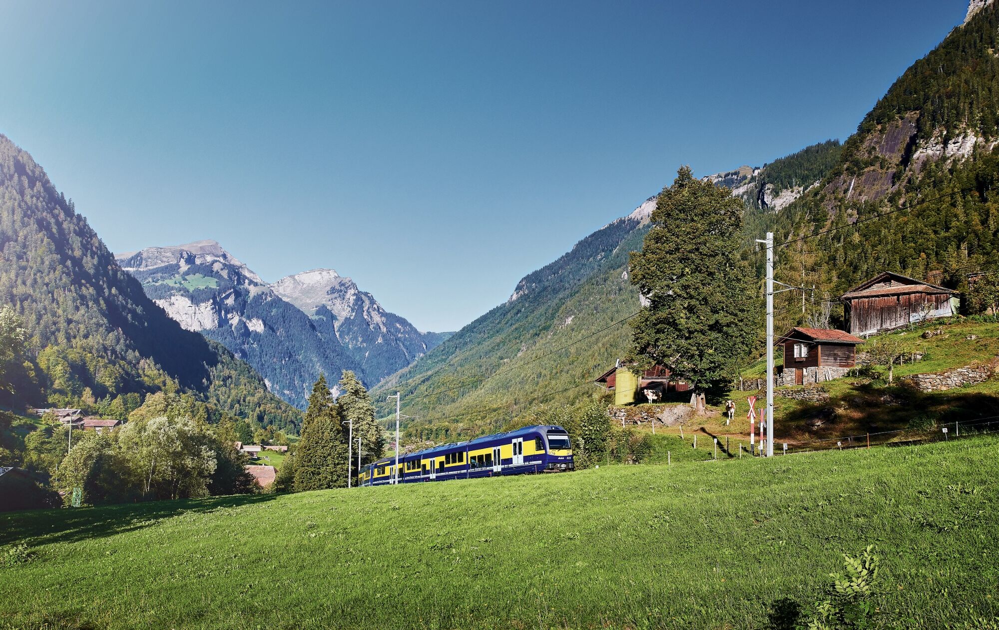
This hike starts by crossing the BOB and Schynige Platte Railway tracks at Wilderswil station. The trail passes pretty timber chalets before it reaches the banks of the Lütschine. The old covered wooden bridge that spans the river boasts unexpectedly modern technology: when floodwaters threaten, it can be hydraulically raised by over a metre within a few minutes, increasing the river's discharge capacity by 50 per cent. There are several historic buildings on the opposite bank. Together with the bridge, they make up a picturesque ensemble. The magnificent church with its spacious Romanesque nave and significant murals is flanked by the stately parsonage and the Gasthof Steinbock. Railway and nature: The «Bahn und Natur» (railway and nature) theme trail features 12 information panels explaining the interaction between rail technology and the environment and leads on a gentle ascent along the small lane up to Gsteigwiler village. After crossing the settlement area, the trail leads you alternately through woods and across meadows along a wide gravel path. Gently undulating, the trail continues deeper into the valley, offering picturesque views of the valley floor. In warm weather, you may see lizards scurrying across the dry stone walls lining the path. Now and then, a blue and yellow BOB train composition passes by on the nearby track. The village with two rivers: Continue the hike to Ried via Faltschen. Situated on the opposite side of the valley is the Chappelistutz wetland.This environmentally valuable area was considerably enhanced when the railway line was expanded. The destination of this hike, Zweilütschinen, is already within sight. This is where the Black and White Lütschine Rivers merge. The two rivers display striking differences in colour, caused by the types of bed load and sediment they carry. The arm flowing from the Lauterbrunnen Valley shimmers pale; the arm flowing from the Grindelwald Valley has a significantly darker appearance.
- Directions
-
Wilderswil - Gsteigwiler - Faltschen - Ried - Zweilütschinen
- Highest point
- 665 m
- Endpoint
-
Bahnhof Zweilütschinen
- Height profile
-
 © outdooractive.com
 - Equipment
-
Standard hiking gear.
- Safety instructions
-
Easy hiking trail.
- Additional information
-
Hike 56
(in the printed summer panoramic map of the Jungfrau Railways) - Directions
-
Via Bern or Lucerne to Interlaken. Or from the south, via the Grimsel Pass (summer only) or the Simplon Pass and the Lötschberg car-transport train to Interlaken. Wilderswil is not far from the exit towards Grindelwald/Lauterbrunnen.
- Public transportation
-
Via Bern or Lucerne to Interlaken Ost. Change to the Bernese Oberland Railway to Wilderswil.


- Author
-
The tour Wilderswil - Zweilütschinen is used by outdooractive.com provided.


-
Aletsch Arena
1488
-
Interlaken
1112
-
Gsteigwiler
489


