- Brief description
-
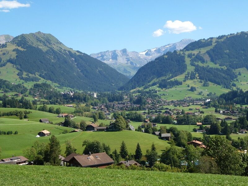
Ancient legends tell that God took a break by the creation of the world, rested and that his handprints created the Saanenland. The four valleys of the region are said to represent the four fingers of the hand. They can be combined in any way and form the basis for all shorter rides in the region of Gstaad.
- Difficulty
-
medium
- Rating
-
- Starting point
-
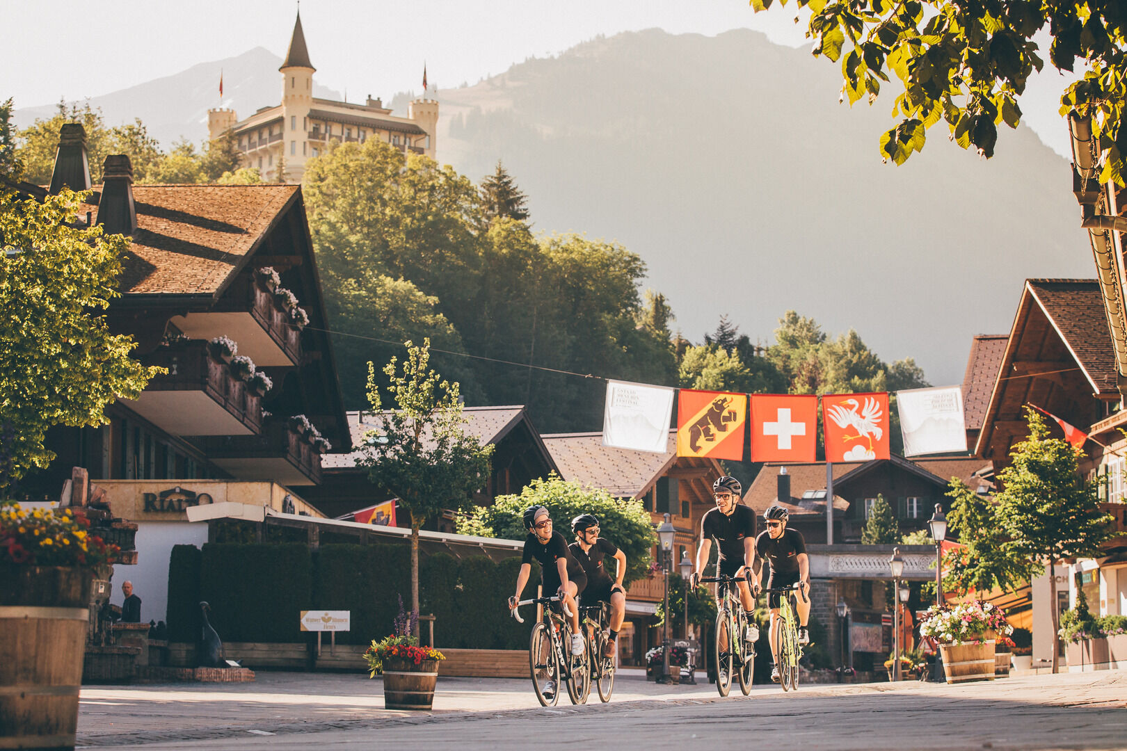
Gstaad, railway station
- Route
-
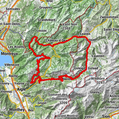
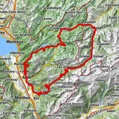
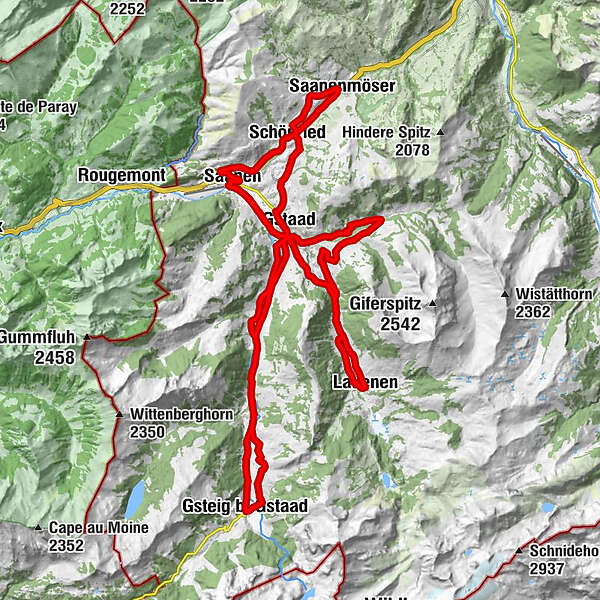
Gstaad (1,050 m)Pizerria Victoria0.0 kmEGW Evang. Gemeinschaftswerk0.3 kmSchönried (1,200 m)3.7 kmSaanenmöser6.5 kmPizzeria da Corrado8.7 kmLa Nicchia8.8 kmSchönried (1,200 m)9.1 kmAlpenrose9.4 kmHuus Gstaad11.3 kmSaanen (1,014 m)13.4 kmSaanen (1,010 m)13.6 kmGstaad (1,050 m)16.6 kmCBZ Christliches Begegnungszentrum17.6 kmTurbach20.5 kmBissen24.3 kmBadweidli24.7 kmTrom25.3 kmLauenen29.8 kmEvangelisch-reformierte Kirche29.9 kmGstaad (1,050 m)36.7 kmChesery43.4 kmFeutersoey43.8 kmGasthaus Rössli44.0 kmSanetsch47.3 kmGsteig b. Gstaad (1,184 m)47.4 kmBären47.4 kmGasthaus Rössli51.9 kmFeutersoey52.0 kmChesery52.3 kmAlphorn57.7 kmPizerria Victoria59.0 kmGstaad (1,050 m)59.0 km
- Best season
-
JanFebMarAprMayJunJulAugSepOctNovDec
- Description
-
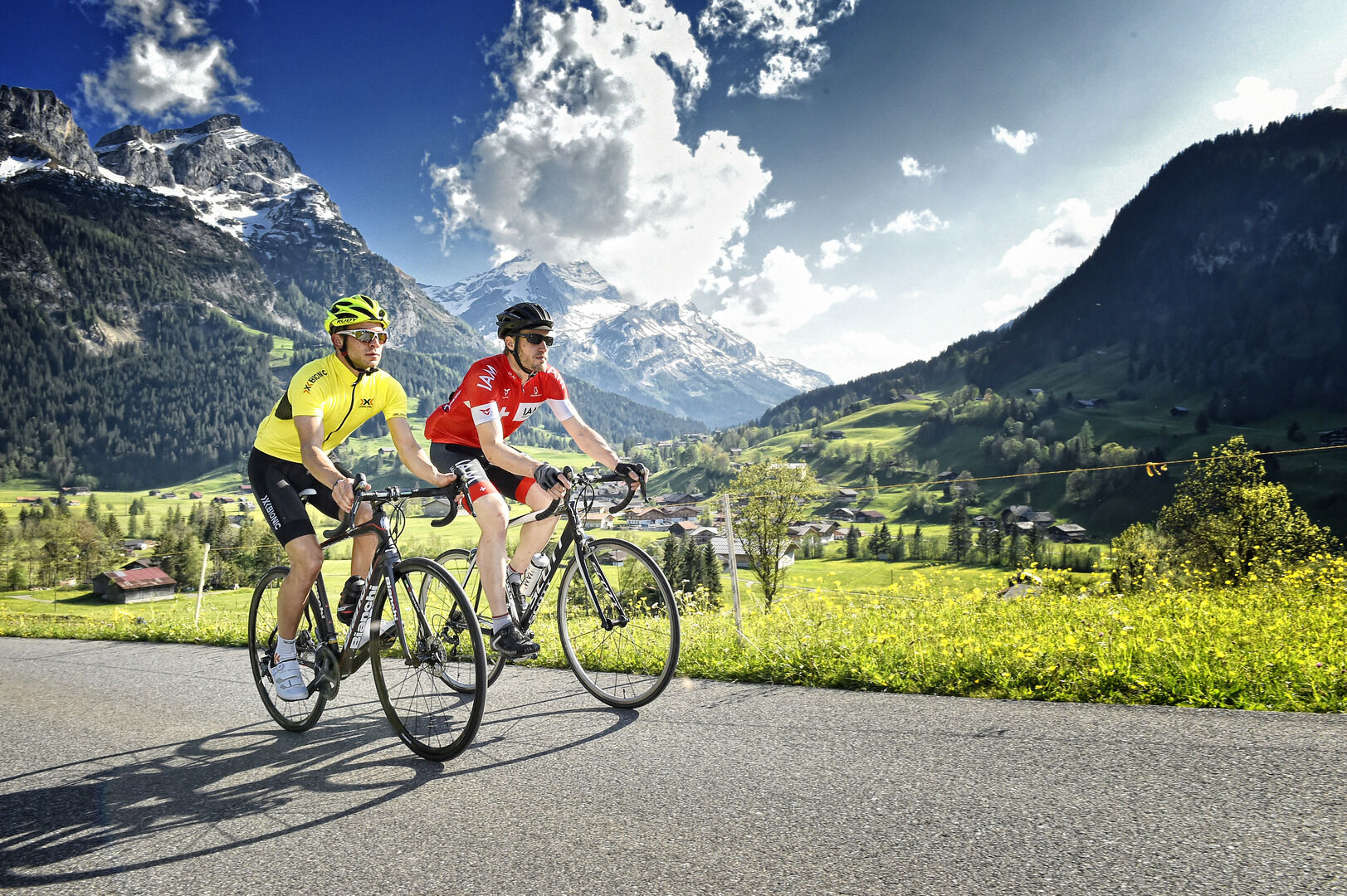
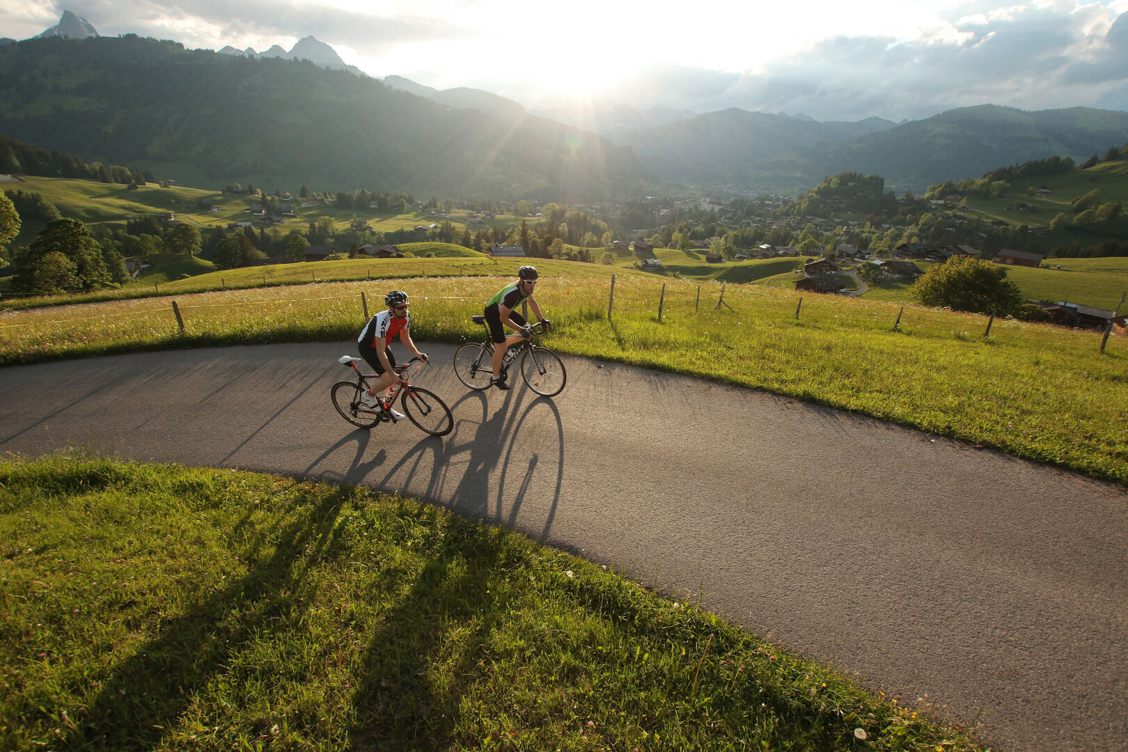
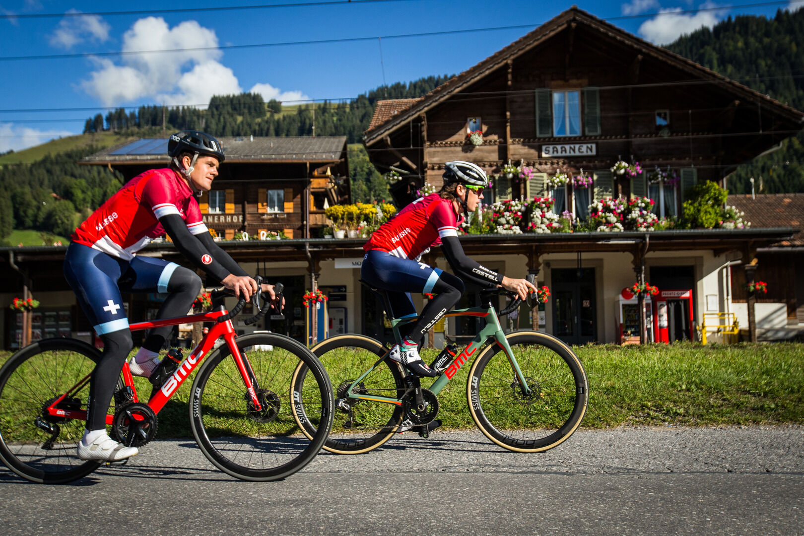
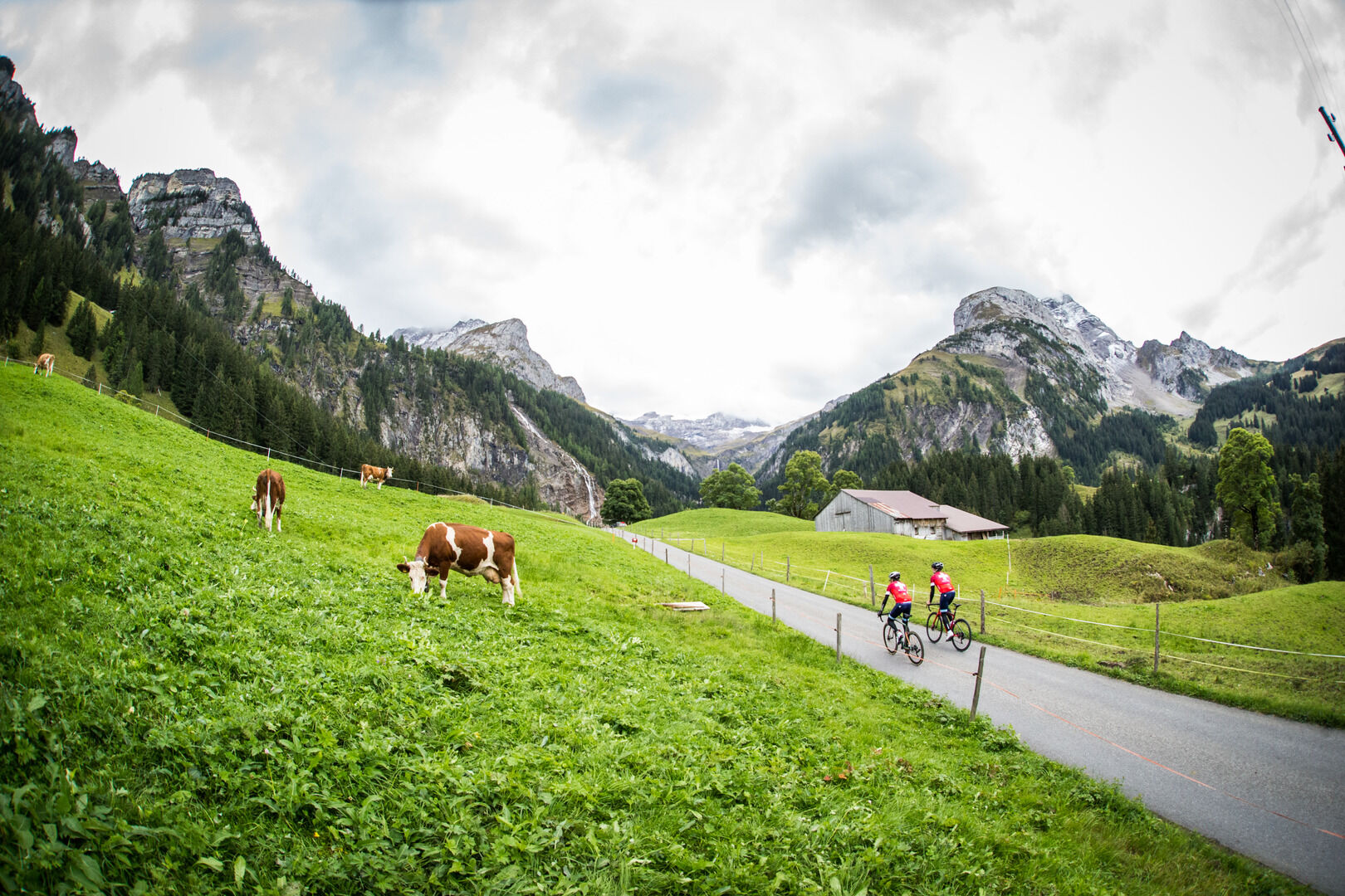
From Gstaad, follow the cycle way through Gruben to Schönried. Arrived at the main street in Schönried, turn left and just after right direction cable car station Rellerli. Past the valley station of the cable car Rellerli, continue on the asphaltic by-road that goes up to Bergmatte. From there goes quite a steep road down to Saanenmöser. The road leads back to Schönried and continue again a steep road down to Saanen. In Gstaad the route follows to the village Turbach. After the first houses, divert right to the steam and down to Bissen. Get down to Bissen and enjoy on your way down the beautiful view over Gstaad, Rüblihorn and Gummfluh. At the school house in Bissen, turn left direction Trom and drive on the cycle way to Lauenen. Just before Lauenen waits the "Mur de Lauenen", a short but up to 20% steep gain into the centre of the village of Lauenen. Follow along the main street from Lauenen back to Gstaad and then on the bike path in direction Gsteig. The short rise to Saali with its swamp willows and old farmhouses and after back to Gstaad.
- Directions
-
Gstaad - Gruben - Schönried - Bergmatte - Saanenmöser - Schönried - Saanen - Gstaad - Turbach - Bissen - Trom - Lauenen - Gstaad - Gsteig - Saali - Gstaad
- Highest point
- 1,383 m
- Endpoint
-
Gstaad, railway station
- Height profile
-
 © outdooractive.com
 - Tips
-
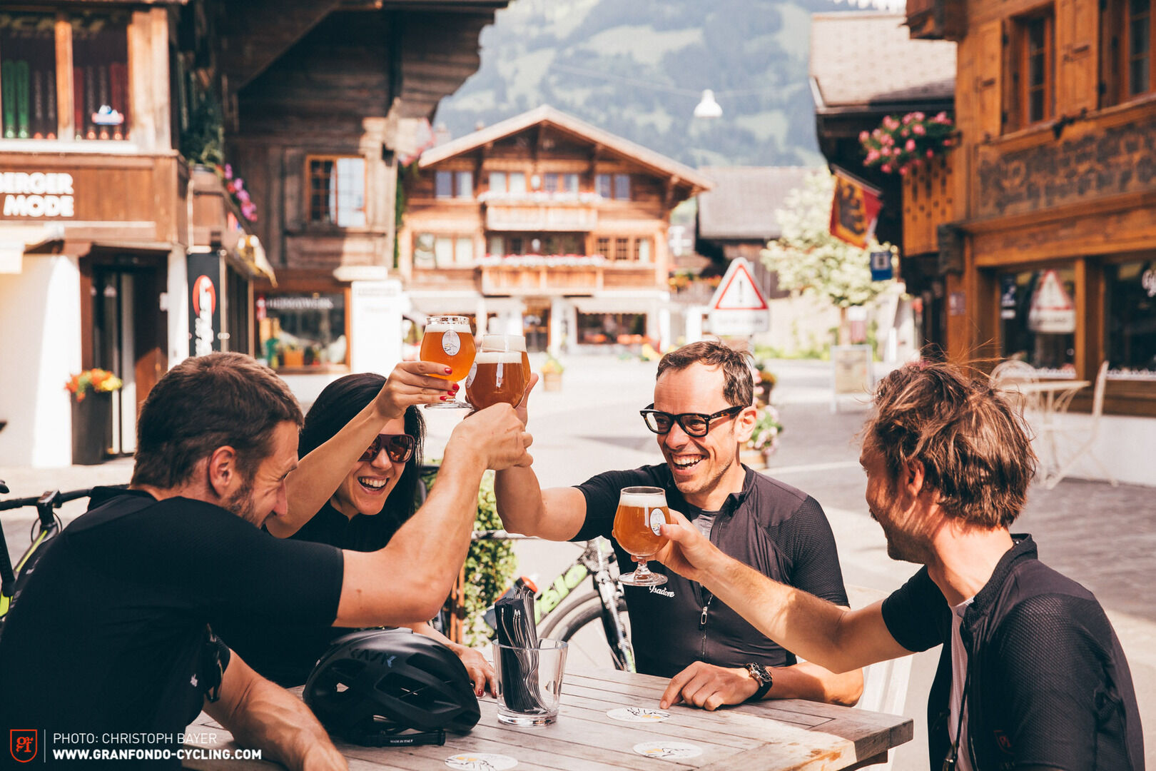
In the historic center of the village Lauenen is a good location for a break in one of the special inns.
There is the possibility for a short additional round to the lake of Lauenen (+45 minutes, short parts on natural streets).
- Additional information
-

-
AuthorThe tour Gstaads Pédaleur de Charme is used by outdooractive.com provided.


General info
-
Thyon les Collons
17
-
Destination Gstaad
25
-
Gstaad
13