- Brief description
-
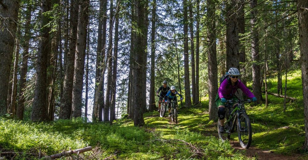
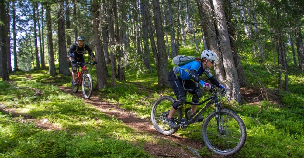
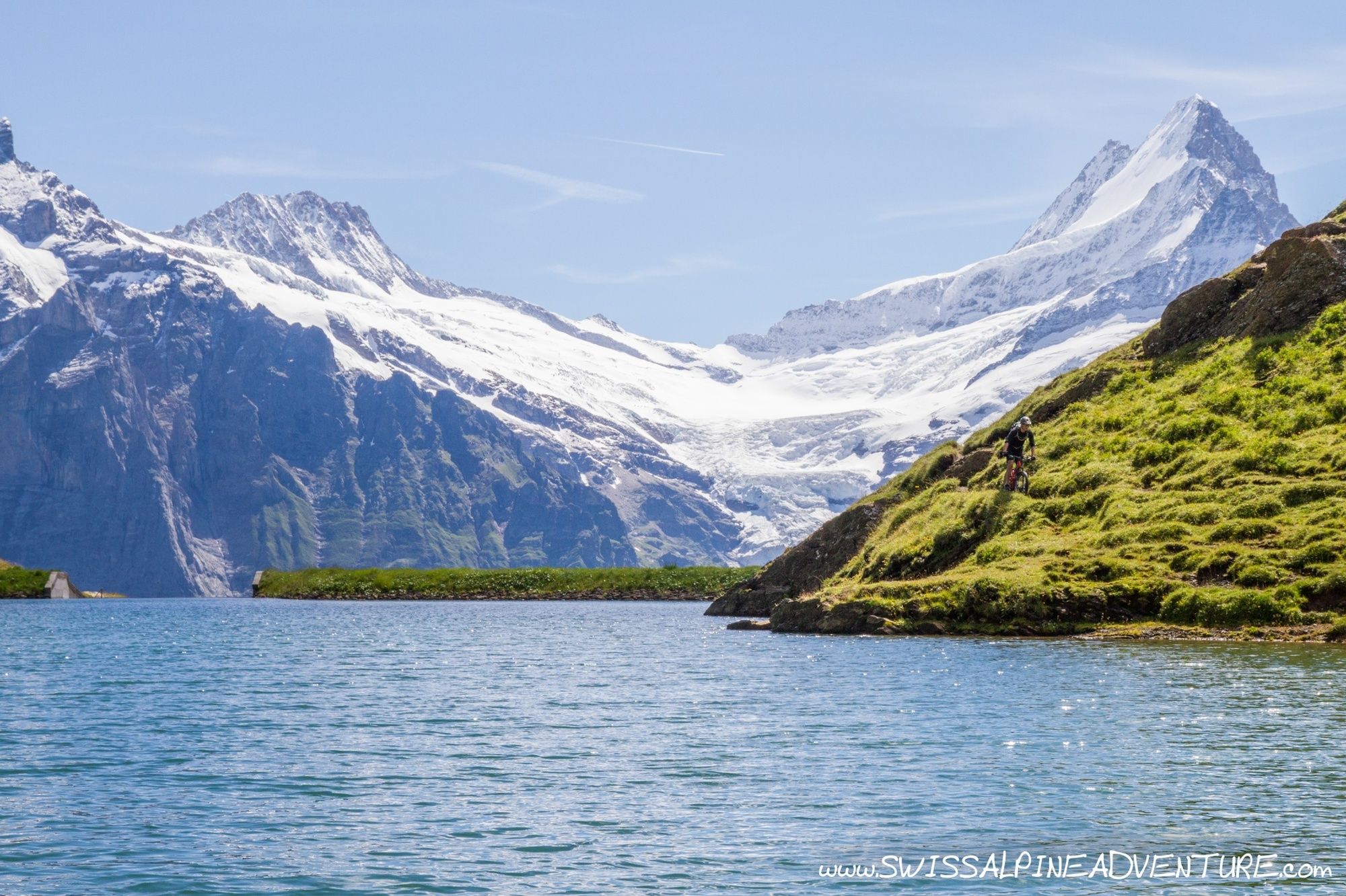
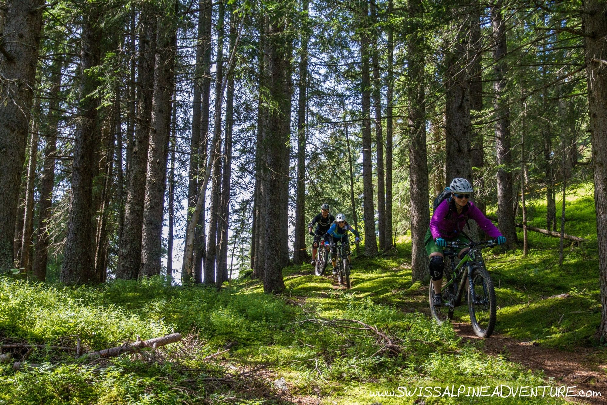
Bachalpsee is a very scenic tour with a fun and moderately technical descent back to Grindelwald. On a sunny day the route will have many hikers. It's best to do this route mid-week or very early in the morning or late in the afternoon in high season.
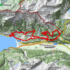
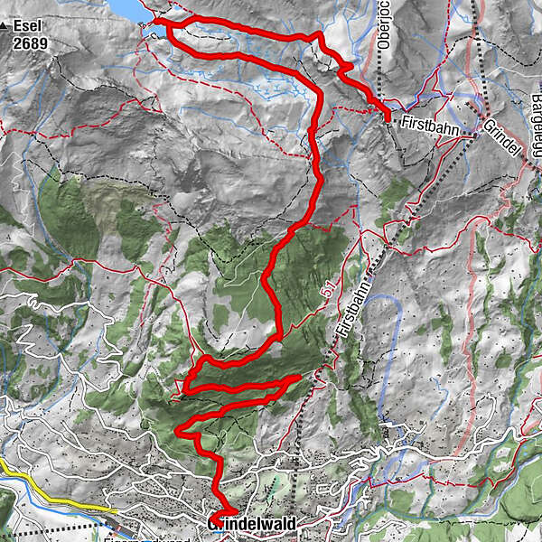
- Starting point
-
Grindelwald, First
- Route
-
Bachlägerwasserfall5.8 kmBerggasthaus Waldspitz6.4 kmNodhalten8.1 kmGrindelwald13.1 kmSwiss Alp Resort13.2 kmGrindelwald13.5 km
- Description
-
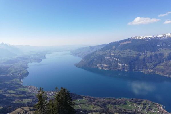
The views of the surrounding mountains (Eiger, Wetterhorn, Schreckhorn) from the Bachalpsee are simply stunning. On a sunny day you will feel like you are in the perfect tourist brochure, picture perfect Switzerland. On a sunny day the route is frequented by a lot of hikers so patience and respect is advised. Until recently Grindelwald was very much anti-biker and this route was actually closed to bikes. Fortunately this ban has been lifted (Summer 2014), but it's only if we are all respectfull that access to trails in the area will be improved. As of summer 2014 many trails that had previously been closed to bikes had the bike ban removed, but trails like the Eiger trail are still closed to bikers.
- Directions
-
From First ride up the fire road signposted for Bachsee. At first the gradient is relatively steep but it flattens off around Gummihitta and gives you a chance to look around and enjoy the scenery. Once arriving at Bachsee take some time to enjoy the vier and then take the northern most trail descending from point 2271 on the map to Bachlager. (Past Lengenbalemschopf)
At Bachlager take the fire road to Waldspitz, about 200m after the restaurant at Waldspitz take the single trail to the left. This descends about 250m crossing a fire road twice (cutting through a hairpin bend on the fire road) and continues down to Nodhalten. (Pt. 1630)
At Nothalten turn right and take the fire road to Pt 1620 at Strahlgässli. Here there is a singletrail dropping to the left into the woods. Take this trail and follow it down until a clearing. The trail is not very well defined down the left of the clearing and before the bottom of the clearing it turns left into the trees and traverses the mountain towards "Bim Oberhus". As this trail once again joins the fire road turn right and take the fire road for approximately one kilometer before turning left and following the yellow hiking signs back to Grindelwald.
- Highest point
- 2,276 m
- Endpoint
-
Grindelwald
- Height profile
-
 © outdooractive.com
 - Equipment
-
An "All-Mountain" style bike is best suited to this trail.
- Safety instructions
-
Ride slow and controlled as at any point on this trail there could be hikers around the corner.
- Tips
-
Do this tour either very early in the morning (immediately when the Gondola opens) or later in the afternoon to avoid the largest groups of hikers. It is well worth it.
- Additional information
- Directions
-
From Zurich/Luxern take the A8 over Brunnig pass, From Bern take the A6. Leave the Autobahn for Interlaken, Wilderswil, Grindelwald. Drive through Wilderswil to Zweilütschinen and turn left for Grindelwald.
The Grindelwald First gondola takes bikes.
- Public transportation
-
There is an hourly train available from Interlaken Ost to Grindelwald at 5 minutes past the hour.
- Parking
-
Parking is available in the Sports Centre in Grindelwald.

-

-
AuthorThe tour Bachalpsee is used by outdooractive.com provided.


-
Obwalden
170
-
Jungfrau Region
64
-
Grindelwald - First
18