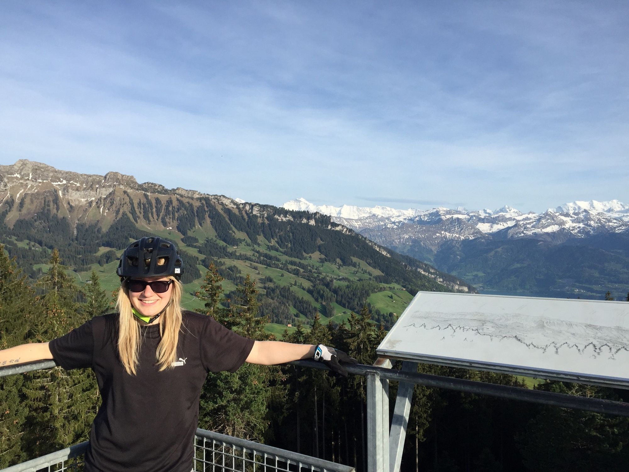
© Interlaken Tourismus - Melanie Studer

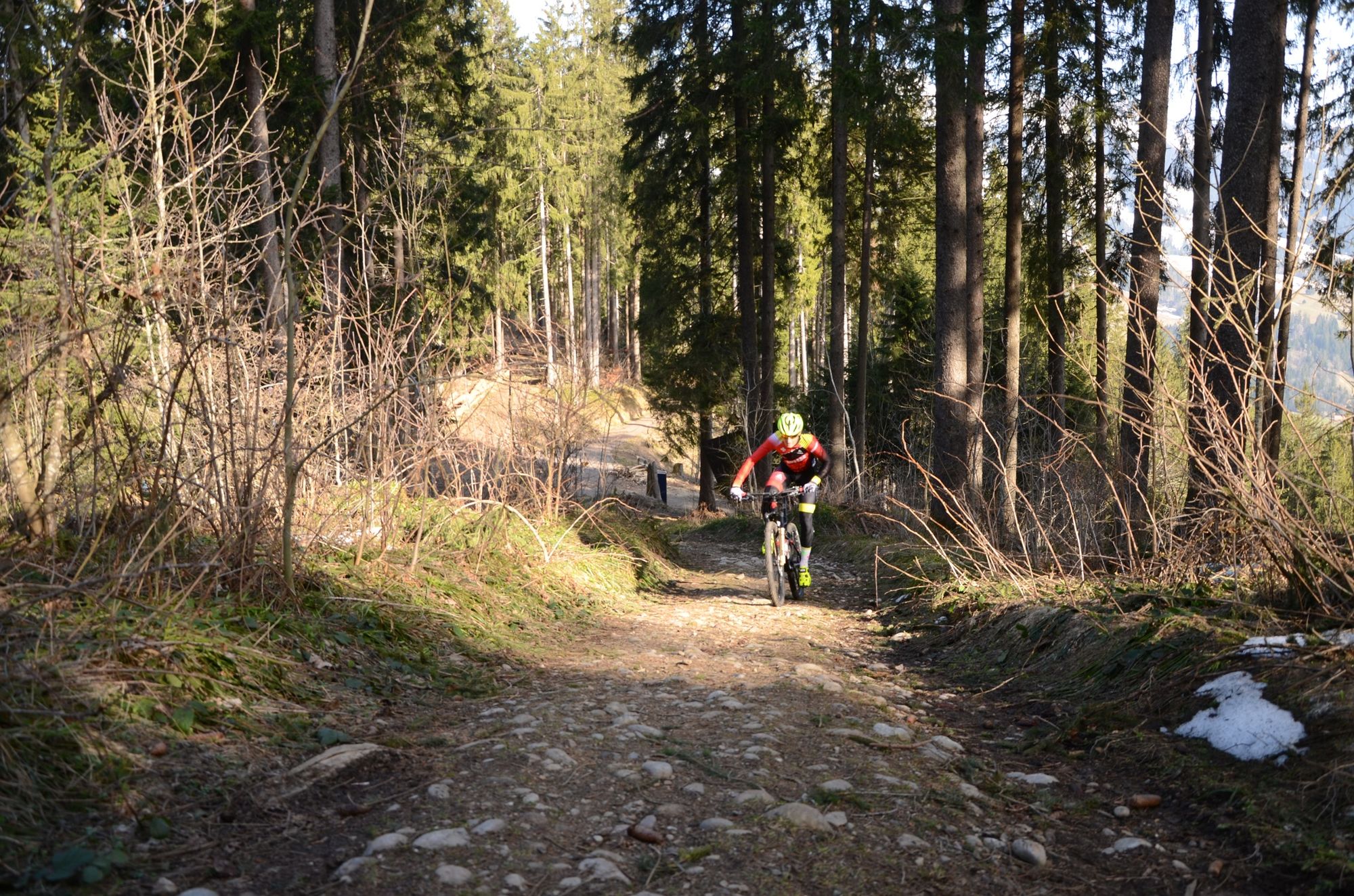
© Interlaken Tourismus - Melanie Studer

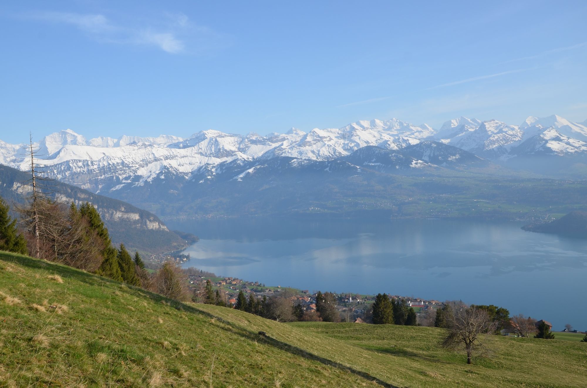
© Interlaken Tourismus - Melanie Studer

- Brief description
-
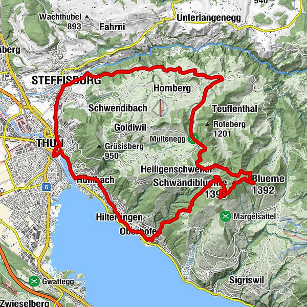
Die abwechlungsreiche Strecke fordert zwar Fleiss und Schweiss, belohnt jedoch mit einem grandiosen Panorama.
- Difficulty
-
difficult
- Rating
-
- Route
-
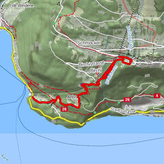
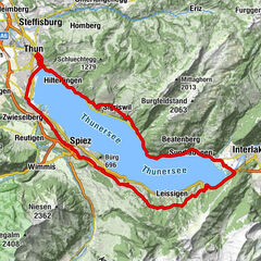
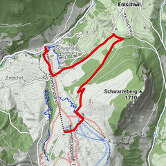
Thun (560 m)Islamic Cultural Center Thun0.0 kmThun (560 m)0.4 kmChrischonagemeinde0.8 kmNeuapostolische Kirche2.1 kmSteffisburg (585 m)2.6 kmWeid4.6 kmWittiwil5.3 kmMoosacker5.8 kmAuf der Fluh6.1 kmFuhren6.9 kmTannhalten9.6 kmLütschental9.9 kmWolfbach10.8 kmSchluechtegg (1,279 m)13.3 kmBlueme (1,392 m)15.9 kmSchwändiblueme (1,396 m)16.3 kmSchloss22.9 kmOberhofen (585 m)23.0 kmHilterfingen (562 m)24.0 kmHünibach25.5 kmRufeli26.0 kmThun (560 m)27.8 kmThun (560 m)28.0 km
- Highest point
- 1,391 m
- Height profile
-
 © outdooractive.com
- Author
-
The tour Blueme II is used by outdooractive.com provided.
GPS Downloads


Other tours in the regions