- Brief description
-
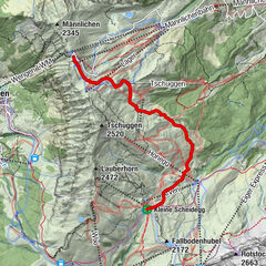
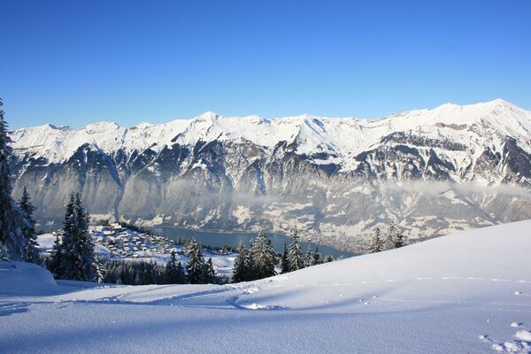
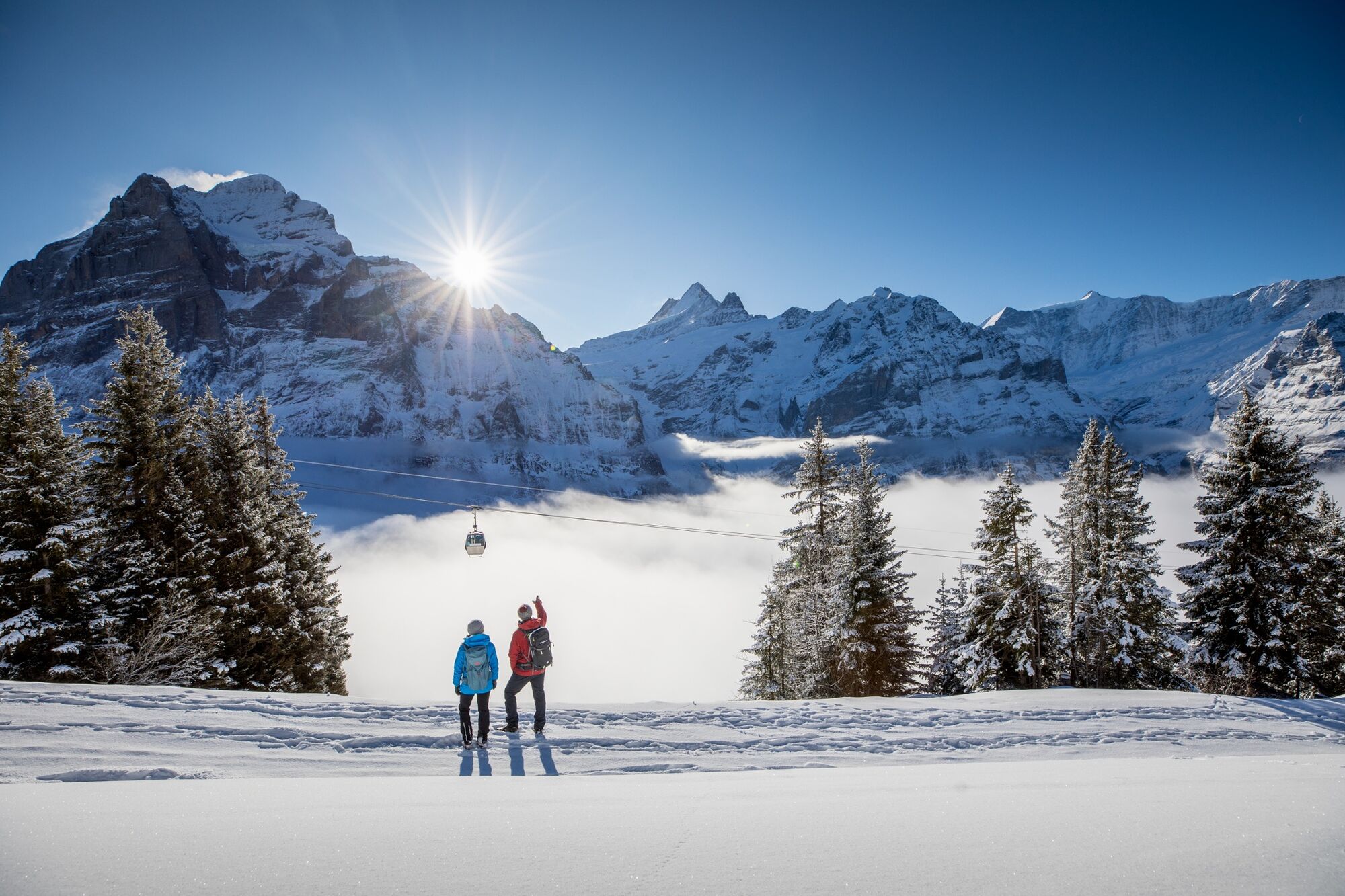
The sunny First area perched above Grindelwald offers a magnificent view of the Wetterhorn, Schreckhorn and Eiger North Face. The hiking trail goes through Schreckfeld down to Bort against this spectacular backdrop.
- Difficulty
-
medium
- Rating
-
- Starting point
-
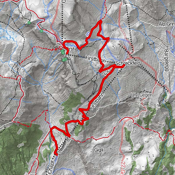
Bergstation First (2168 m ü. M.)
- Route
-
First (Oberjoch) (2,164 m)0.1 kmSchreckfeld (1,952 m)2.5 kmBort (1,564 m)5.2 kmBergrestaurant Bort5.2 kmChuestall5.2 km
- Best season
-
AugSepOctNovDecJanFebMarAprMayJunJul
- Description
-
From the gondola station, the trail first runs along and then parallel to the ski slope in the direction of Schreckfeld. The winter hiking trail is clearly marked with green poles. From Schreckfeld the trail goes slightly downhill on the sledging run or ski slope. Hungry hikers can have a bite to eat in the restaurant on Bort where it is usually sunny. Two trails go back down to the valley or you can take the gondola.
Click here for the status of the winter hiking trails.
- Directions
-
First - Schreckfeld – Egritz (Alphütten) - Bort
- Highest point
- 2,164 m
- Endpoint
-
Bort (1530 m ü. M.)
- Height profile
-
 © outdooractive.com
 - Equipment
-
The sun’s rays are more intense in the mountains. Don’t forget to bring sunscreen with a high protection factor, a hat and sunglasses with UV protection.
We recommend bringing warm clothing and rain gear even in summer and in good weather in winter. We recommend layering your clothing.
Charged mobile phone
First-aid kit
Winter shoes with non-slip sole
Drinks and snacks
If available: hiking sticks - Safety instructions
-
After a snowfall, the ground can be softer and more difficult to walk on.
Be careful: the trail crosses the ski slope in the middle section. - Tips
-
Stop for a bird’s eye view if you’re feeling brave: soar down the mountain like an eagle with the First Glider. Starting point is at Schreckfeld, below the train station.
- Additional information
- Directions
-
From Basel and Geneva, the fastest route to the Jungfrau Region is via Bern. From Zurich, the route via Lucerne and the Brünig Pass is recommended. The pass is open all year round.
From the south, travel to the Jungfrau Region via the Grimsel or Susten Pass. Both passes are only open in summer. An alternative is the Simplon Pass with subsequent car transport through the Lötschberg tunnel.
Grindelwald
From Interlaken we follow the main road to Zweilütschinen. Here we turn left towards Grindelwald. The whole trip takes about 30 minutes and leads over a partly winding road.
- Public transportation
-
Thanks to its central location in Europe, Switzerland is served by international trains from over 12 countries. Within Switzerland, Intercity trains run from Basel and Lucerne directly to the Jungfrau Region. Travellers from Zurich change trains in Bern. The trains run every half hour.
Grindelwald
From Interlaken Ost railway station we reach Grindelwald without changing trains on the Bernese Oberland Bahn (BOB). Important: Get on the rear part of the train, as it splits in Zweilütschinen. If you get on at the front, you will end up in Lauterbrunnen. The journey takes 30 minutes to Grindelwald Terminal (V-Bahn). Three minutes later we are at the terminal in the village.
There are three stations in Grindelwald (Terminal, Grund and Dorf). The terminal station (Dorf) is in the centre of Grindelwald.
- Parking
-
Grindelwald
There are three public car parks: Parkhaus Eiger+ (252 parking spaces), Parkhaus Sportzentrum (160 parking spaces) and the new Terminal Parking (1000 spaces) of the V-Bahn. Alternatively, we can also use the car park in Grindelwald Grund.
- Author
-
The tour First - Schreckfeld - Bort (Nr. 53 & 55) is used by outdooractive.com provided.

General info
-
Obwalden
146
-
Jungfrau Region
104
-
Grindelwald - First
44