- Difficulty
-
medium
- Rating
-
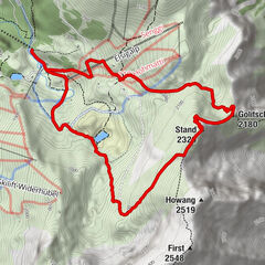
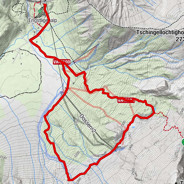
- Route
-
Engstligenalp0.3 kmEngstligenalp7.8 km
- Best season
-
JanFebMarAprMayJunJulAugSepOctNovDec
- Description
-
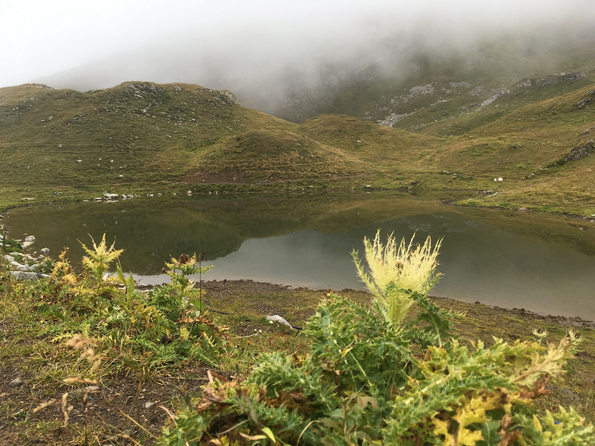
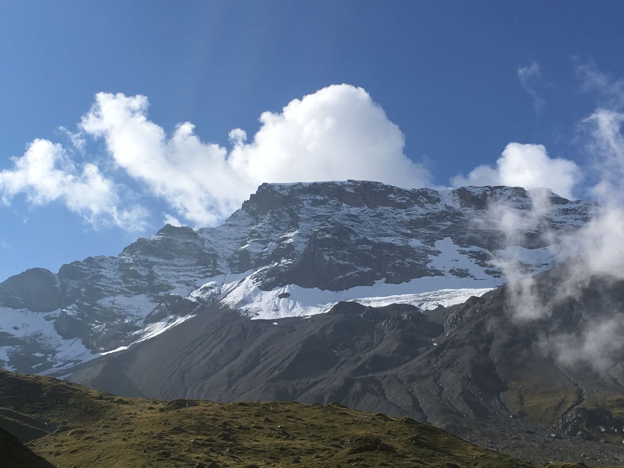
En arrivant à Engstligenalp, vous commencez à marcher sur le sentier circulaire plat. Le sentier monte bientôt en pente raide vers le col de Chindbetti et le Tschingellochtighorn jusqu'au Dossen-Seeli. Vous pourrez y déguster votre déjeuner avec une vue impressionnante. Au bord de la zone alluviale de la Wildstrubel, vous revenez sur le plateau plat.
- Highest point
- 2,339 m
- Endpoint
-
Bergstation Engstligenalp
- Height profile
-
 © outdooractive.com

-

-
AuthorThe tour Engstligenalp – Dossenseeli – Engstligenalp (Seeli-Weg) is used by outdooractive.com provided.
GPS Downloads


General info
Refreshment stop
A lot of view
Other tours in the regions
-
Oberwallis
1880
-
Adelboden
988
-
Leukerbad
305