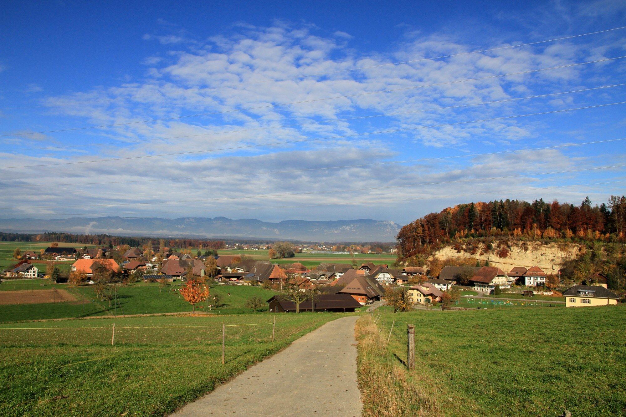
© Gemeinde Ersigen

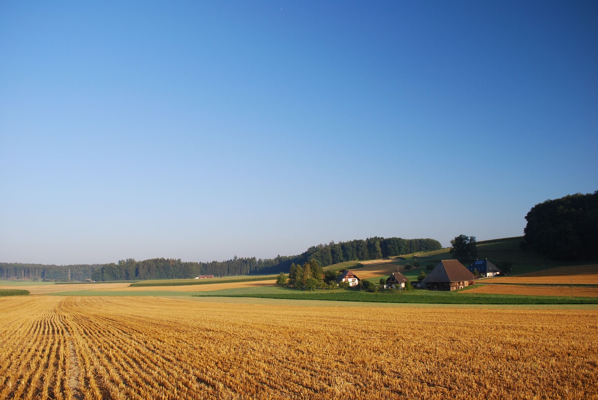
© Markus Schluep

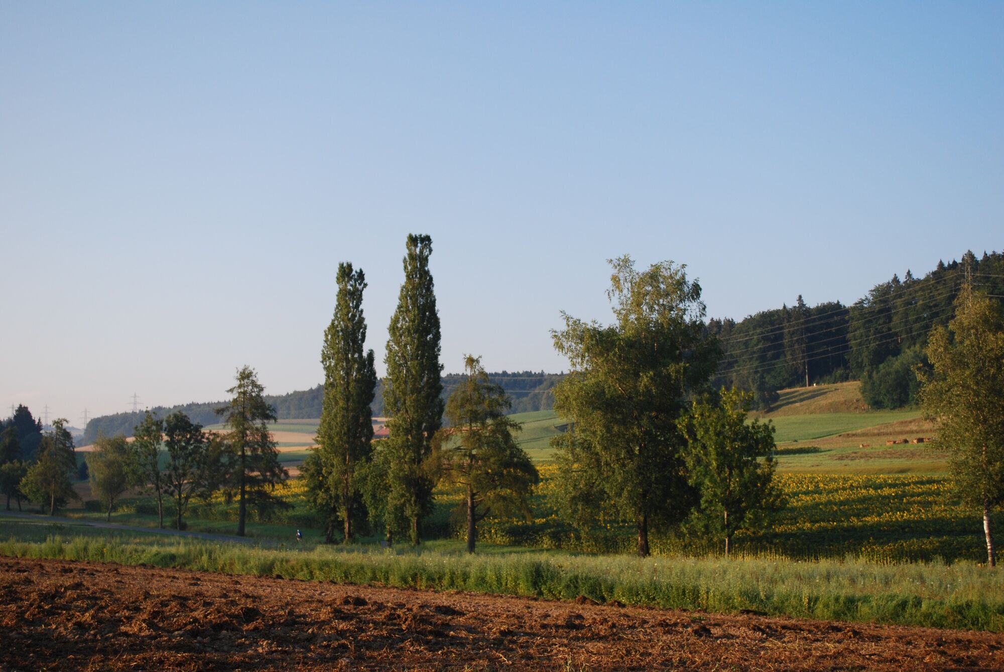
© Markus Schluep


- Brief description
-
Mühelose Wanderung aus der Hügellandschaft der Wynigenberge in die Ebene des unteren Emmentals. Stattliche Bauernhäuser zeugen vom Ertrag der fruchtbaren Kulturlandschaft. Einige Abschnitte auf Hartbelag.
- Difficulty
-
easy
- Rating
-
- Route
-
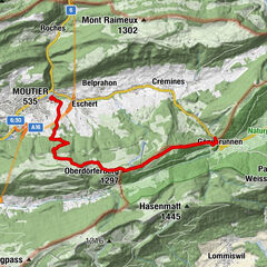
BahnhofWynigenWil1.9 kmNiederösch (485 m)4.5 kmUnterbüel7.5 kmReformierte Kirche9.5 kmUtzenstorf (476 m)9.7 kmUtzenstorf10.0 km
- Best season
-
JanFebMarAprMayJunJulAugSepOctNovDec
- Highest point
- 537 m
- Endpoint
-
Utzenstorf, Bahnhof
- Height profile
-
 © outdooractive.com
-

-
AuthorThe tour Wo das Emmental flach wird is used by outdooractive.com provided.
GPS Downloads


General info
Refreshment stop
Other tours in the regions
-
Solothurn und Region
1453
-
Wasseramt
677
-
Koppigen
117