


- Brief description
-
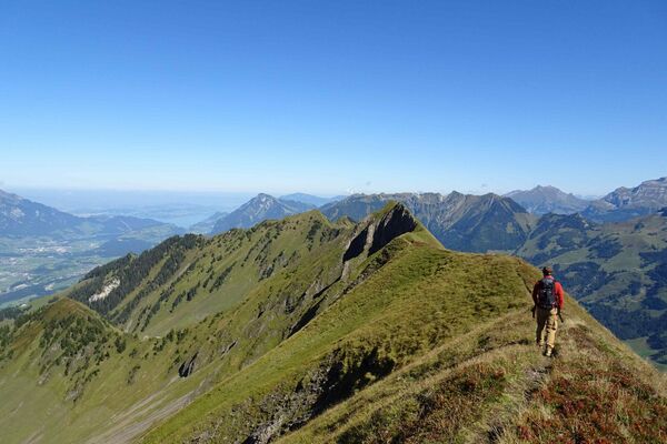
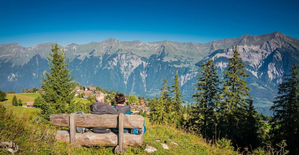
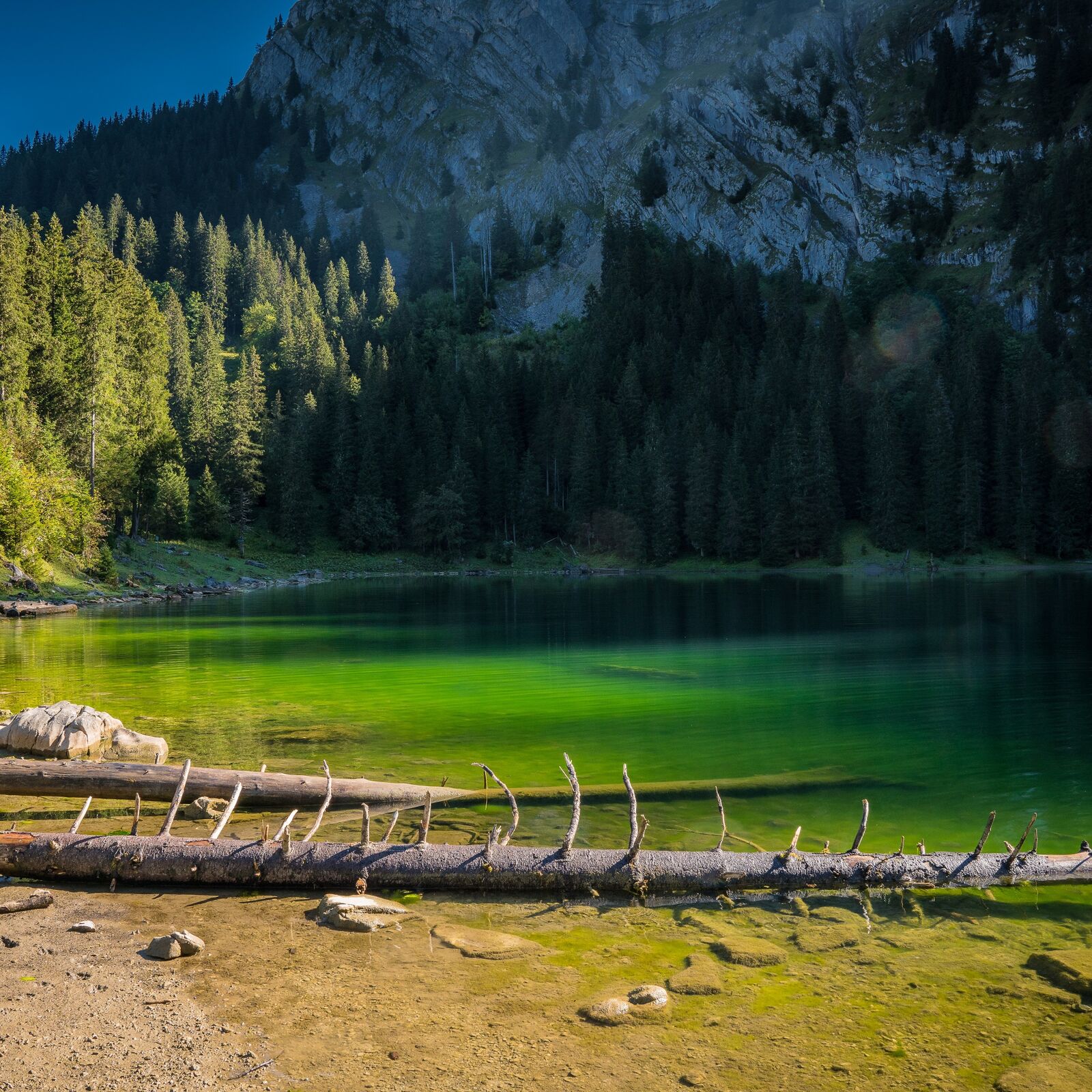
A varied mountain hike over pastures and through storm-ravaged forests on vast terraced slopes high above Lake Brienz. A special sight is the Hinterburgseeli lake, nestling beneath steep mountain faces – a gem among the mountain lakes of the Oberland. Just as worthwhile are the sculptures fashioned from the stumps of dead trees along the path at the beginning of the hike.
- Difficulty
-
medium
- Rating
-
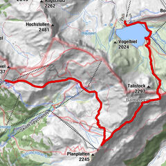
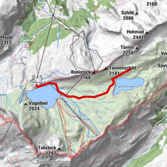
- Route
-
AxalpAxalp Stübli0.0 kmSpiss Axalp0.1 kmObhegli0.3 kmSchlagli0.5 kmHennefidle (1,637 m)3.1 kmUf der Flue4.0 kmSchlagli10.1 kmObhegli10.3 kmSpiss Axalp10.3 kmAxalp Stübli10.5 kmAxalp10.6 km
- Best season
-
JanFebMarAprMayJunJulAugSepOctNovDec
- Highest point
- 1,875 m
- Endpoint
-
Axalp
- Height profile
-
 © outdooractive.com
 - Equipment
-
Recommended gear: Sturdy hiking boots, medium-sized backpack with waist strap, sunscreen, rain gear, hiking sticks, first-aid travel kit, picnic, plenty of fluids, mobile phone.
- Safety instructions
-
This route runs entirely or in part on signposted paths of the ‘mountain hiking trail’ category.
- Additional information
-
Hinterburgseeli nature reserve The region around the Hinterburgsee lake encompasses a nature reserve, where signposted rules must be observed. The land and waters are privately owned by the Hinterburg cooperative.
- Public transportation
-
Outward and return journey: By rail via Interlaken Ost or Luzern-Meiringen to Brienz. From there by PostBus up to the Axalp.


-

-
AuthorThe tour To the Hinterburgseeli, a marvel of nature up on the Axalp is used by outdooractive.com provided.


General info
-
Obwalden
2023
-
Brienzersee
1069
-
Brienz - Axalp
387