


- Brief description
-
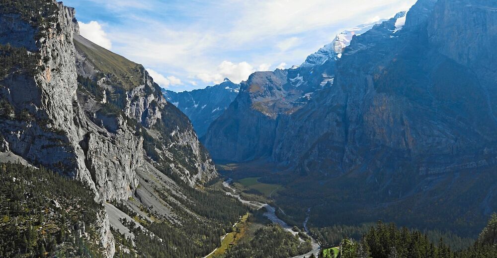
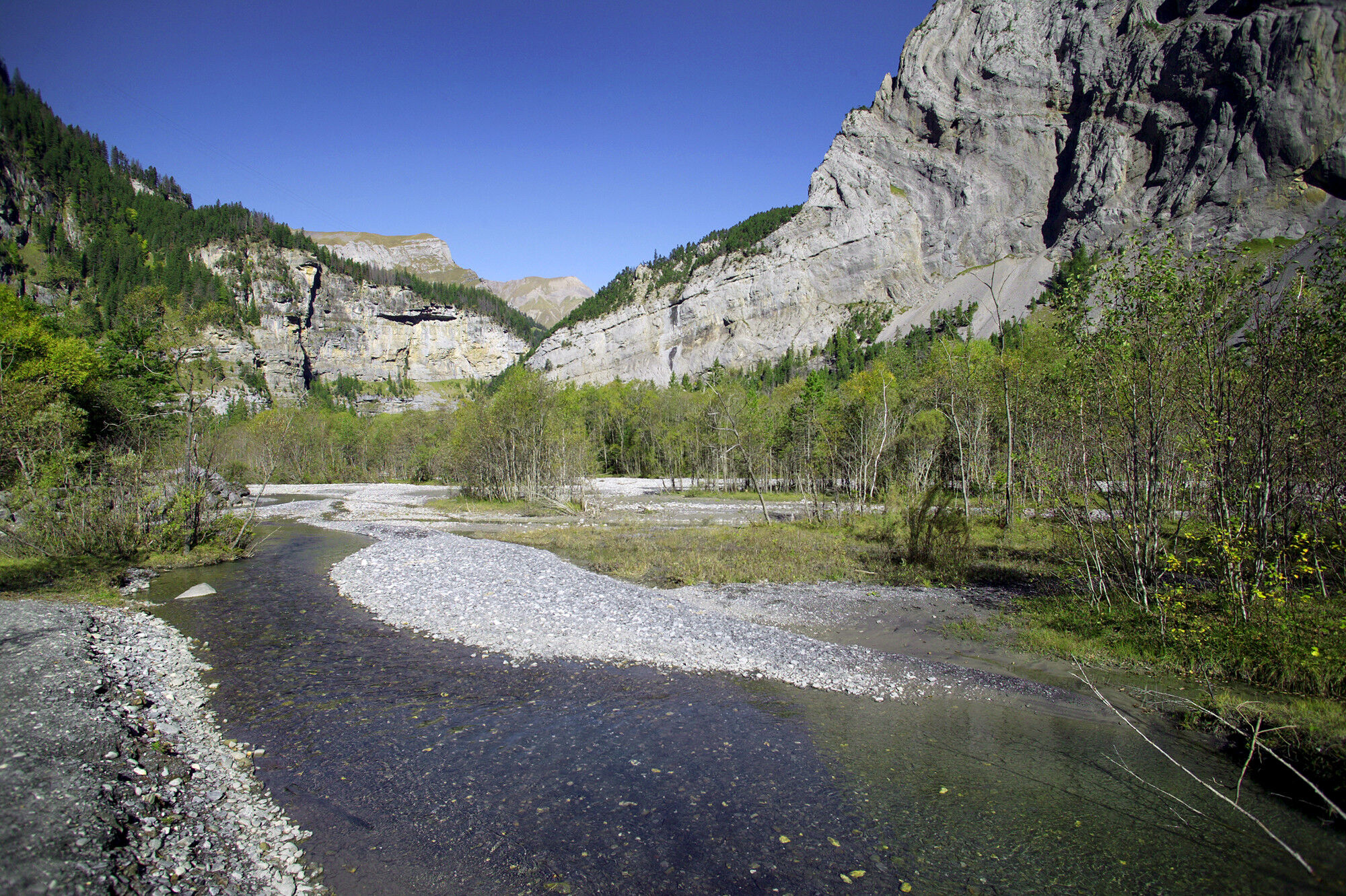
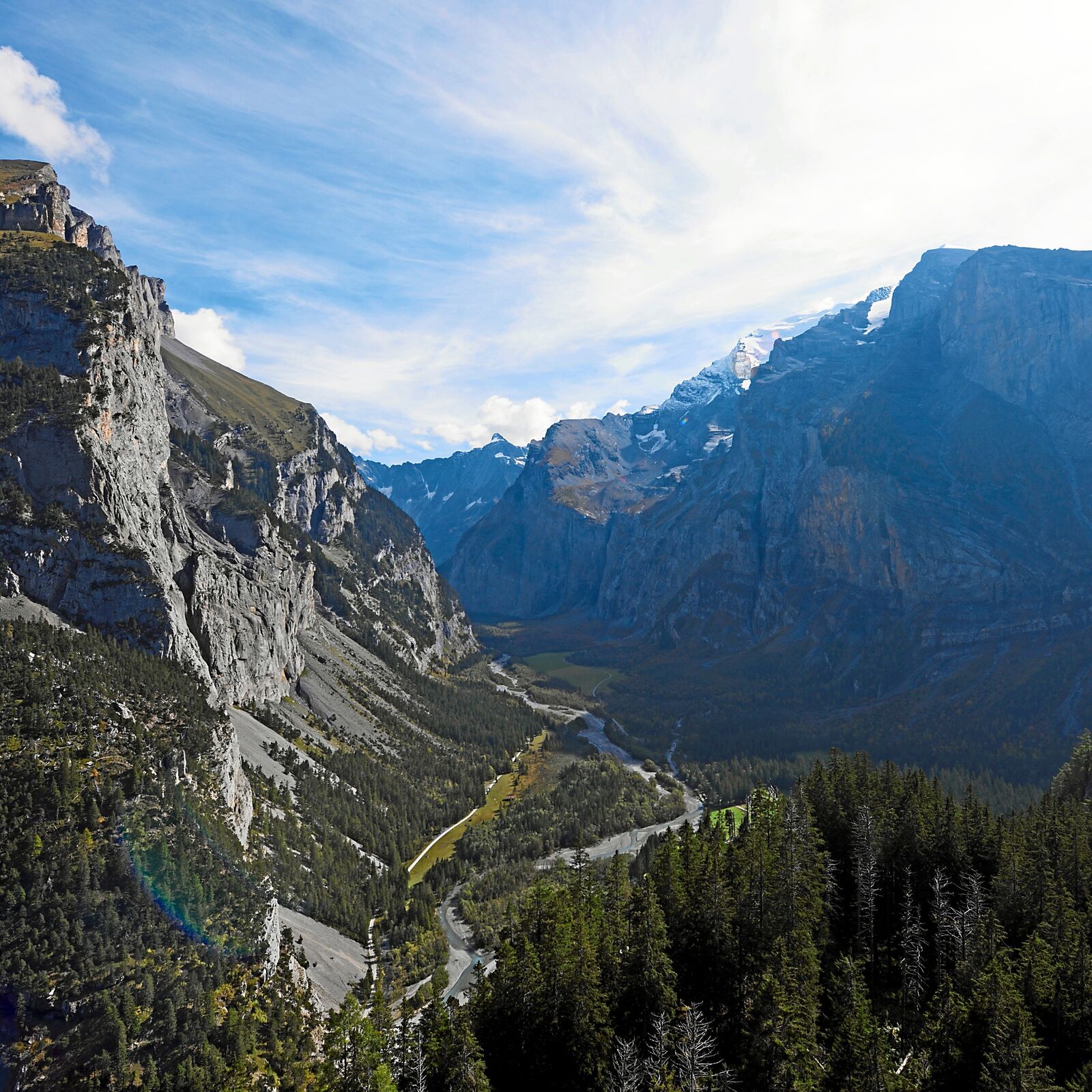
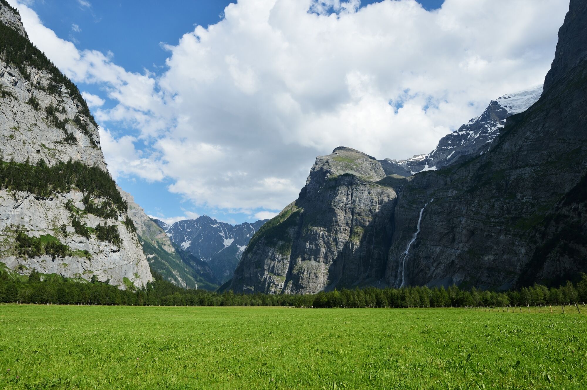
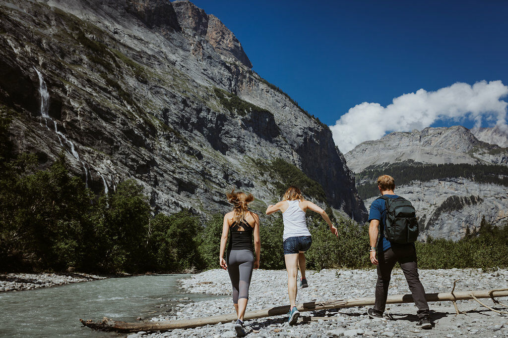
The Gasterntal valley above Kandersteg is a high valley of outstanding natural and scenic beauty. The hike along the Kander is also suitable for families with children. Unsurfaced track throughout.
- Difficulty
-
medium
- Rating
-
- Route
-
Waldhaus (1,358 m)8.3 km
- Best season
-
JanFebMarAprMayJunJulAugSepOctNovDec
- Description
-
Nature enthusiasts love the Gasterntal valley, which is accessible only in the summer season, because of its unspoilt natural setting, reminiscent of Canada. Flower lovers come here for the lady’s slipper orchids and Turk’s cap lilies, which bloom in June and July respectively. Those in search of peace and quiet appreciate the fact that the somewhat challenging access road puts many motorists off visiting the Gasterntal valley in the first place. Families with children, on the other hand, are drawn to the high valley because of the many play areas and picnic sites along the banks of the Kander river.
- Highest point
- 1,633 m
- Endpoint
-
Gasterntal, Neubrücke/Waldhaus
- Height profile
-
 © outdooractive.com
 - Equipment
-
Recommended gear: Sturdy hiking boots, medium-sized backpack with waist strap, sunscreen, rain gear, hiking sticks, first-aid travel kit, picnic, plenty of fluids, mobile phone.
- Safety instructions
-
This route runs entirely or in part on signposted paths of the ‘mountain hiking trail’ category.
- Directions
-
By car via Frutigen to Kandersteg. Drive as far as the Sunnbüelbahn cable-car valley station.
- Public transportation
-
Outward journey: By private bus from Kandersteg to Hotel Gasterntal, Selden
Return journey: By private bus from Neubrücke, Waldhaus to Kandersteg
Reservations required. Phone 033 671 11 72 for private individuals or 033 671 11 71 for groups
Timetable: sbb.ch
- Parking
-
Car park available at the Sunnbüel valley station.
-

-
AuthorThe tour Gasterntal valley – Along the raging waters is used by outdooractive.com provided.


General info
-
Oberwallis
1871
-
Ferienregion Kandertal
1104
-
Oeschinen - Kandersteg
255


