
- Brief description
-
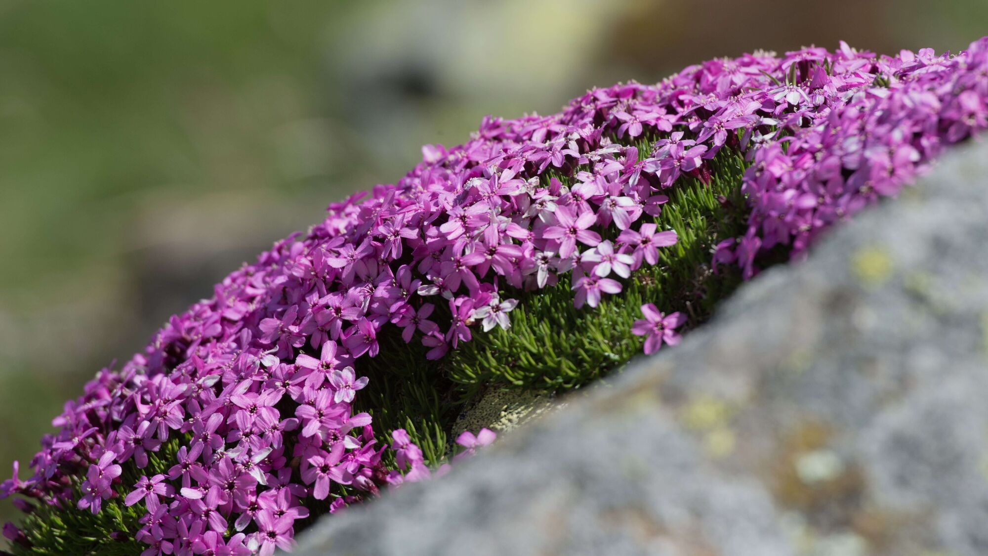
A huge palette of natural diversity awaits you. Our tip: Leave room for your own impressions and discoveries and sharpen your eye for the inconspicuous.
- Difficulty
-
medium
- Rating
-
- Starting point
-
Senggiweid (Grimmialp), Schwenden
- Route
-
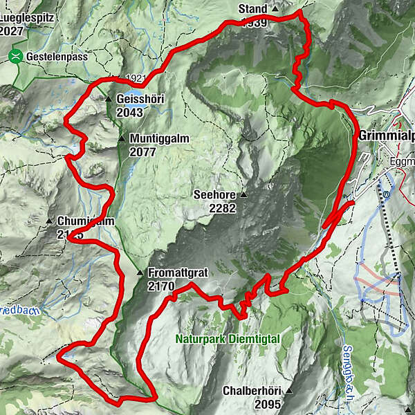
GrimmialpScheidegg6.3 kmGubi (1,987 m)10.5 kmStierenberg11.4 kmSeeberg15.1 kmAlphütte Seebergsee15.1 kmGrimmialp (1,235 m)20.4 kmGrimmialp22.2 km
- Best season
-
JanFebMarAprMayJunJulAugSepOctNovDec
- Description
-
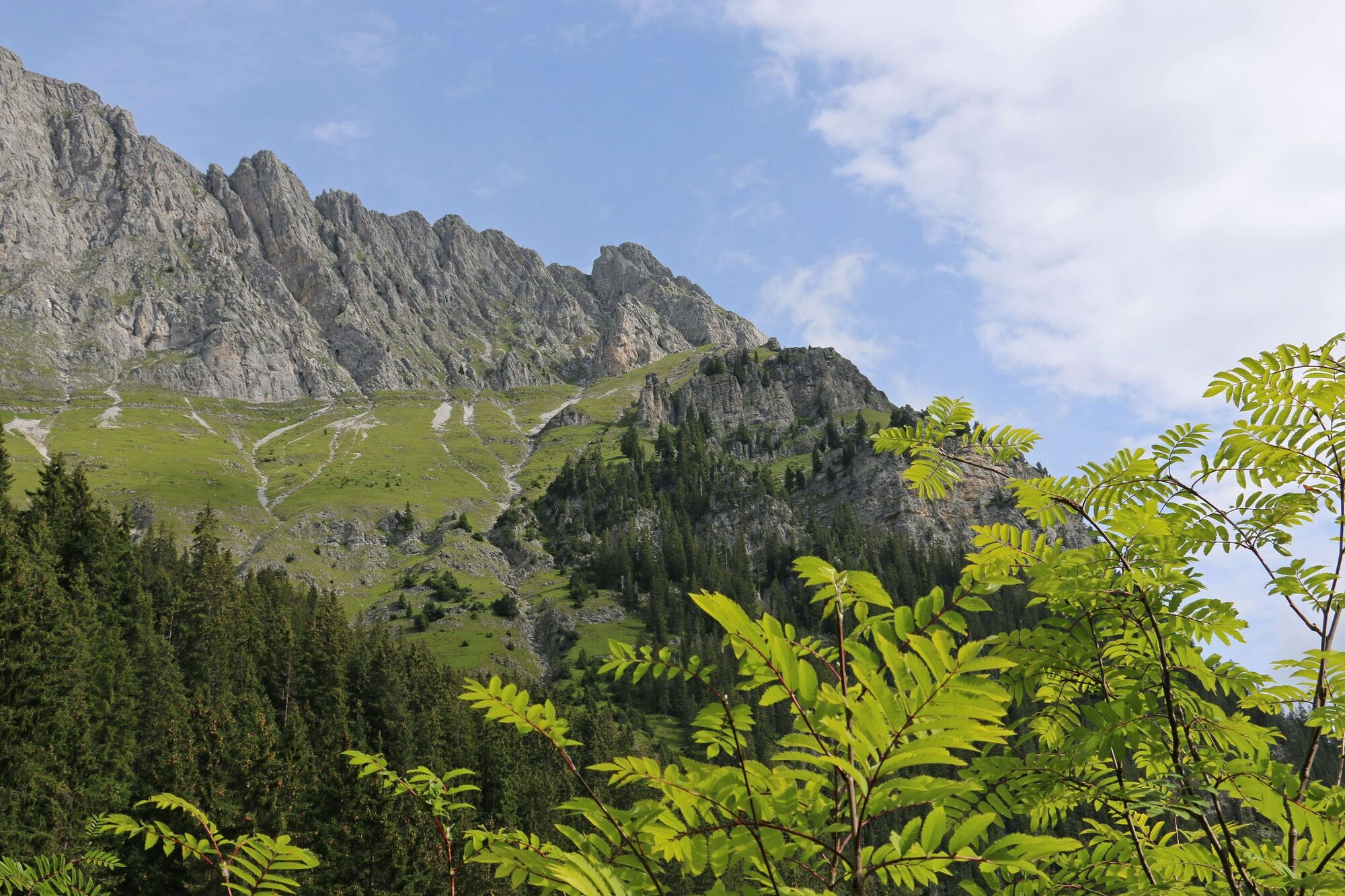
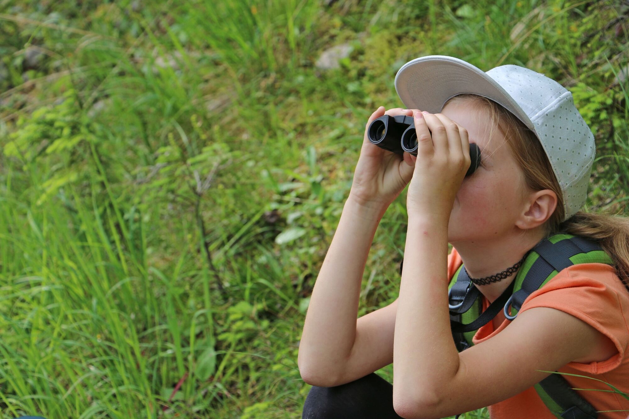
Enjoy the silence of the mountain world and head for the Spillgerte nature reserve. As soon as you reach the "Alpetli", it's worth pausing every now and then to look at the rocks of the "Seehore" with your binoculars. Can you spot the ibexes and chamois? From "Scheidegg" you are in the municipal area of Zweisimmen. After the climb along the "Fromatt" ridge, you have completed the most strenuous part of the hike. A short snack at the Stierenberg mountain inn is almost obligatory. Continue around the "Muntiggalm" to the popular lake Seeberg: the lake surrounded by rockslide boulders, stone pines, spruces and dwarf shrubs is your last stop before the upcoming descent. The popular excursion destination is very busy on peak days - as soon as you discover it, you know why.
On your return to the starting point, enjoy the mountain panorama to the full: You will hardly find a more varied landscape on a high-altitude hike. - Directions
-
Follow the trail from "Senggiweid" via "Würzi" to "Alpetli". From here you reach pass "Scheidegg" and follow the mountain trail via "Fromatt" to the Stierenberg mountain inn. Around the "Muntiggalm" or as a shortcut on the direct route, you now reach the popular Seeberg lake. Up and down you will soon reach the vantage point Stand. Zigzagging over the "Weeri", you finally reach the starting point along the Albert Schweitzer path. The trail is marked with yellow direction signs or with trail markings as a mountain trail.
- Highest point
- 2,065 m
- Endpoint
-
Senggiweid (Grimmialp), Schwenden
- Height profile
-
 © outdooractive.com
 - Equipment
-
Good mountain boots, clothing appropriate to the weather (sun/rain protection), hiking poles if necessary, binoculars if necessary, pocket pharmacy, rucksack with food and enough drinks for the journey
- Safety instructions
-
A small section of the trail below the "Alpetli" area leads through a summer pasture with yaks. Please follow the local instructions.
- Tips
-
To enjoy the hike to the fullest and a little more comfortably, we recommend booking our mountain hut experience with two nights! > Mountain hut experience
- Additional information
- Directions
-
Motorway A6 Bern direction Zweisimmen, 1 km after the Simmenfluhtunnel turn left direction Diemtigtal. Follow the Diemtigtal road into the valley for 19 km in the direction of Schwenden, Grimmialp.
- Public transportation
-
By train to Oey-Diemtigen. Then by PostBus to the stop «Schwenden i.D., Grimmialp» (terminus). From here a short walk (approx. 5 min.) to Senggiweid, direction of the Grimmimutz adventure trail.
- Parking
-
Paid parking is available directly at the starting point.


- Author
-
The tour Around the Seehore is used by outdooractive.com provided.


General info
-
Oberwallis
1881
-
Lenk-Simmental
751
-
Zweisimmen
242