


- Brief description
-
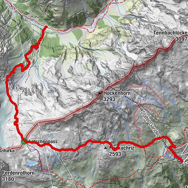
Beautiful hike from the Lötschen Valley over the Lötschen Pass into the Gastern Valley
- Difficulty
-
difficult
- Rating
-
- Starting point
-
Selden
- Route
-
Zudili0.0 kmBärgsunna0.1 kmLauchernalp0.8 kmSattlegi (2,565 m)3.6 kmLötschenpass Hütte6.2 kmGfellalphütte (1,849 m)10.7 km
- Best season
-
JanFebMarAprMayJunJulAugSepOctNovDec
- Description
-
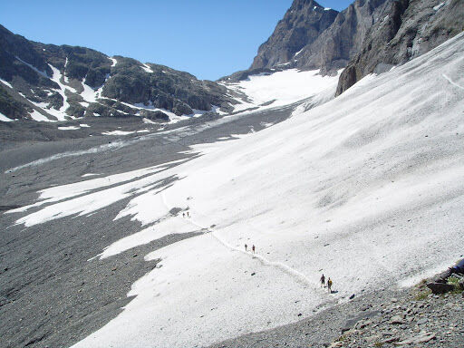
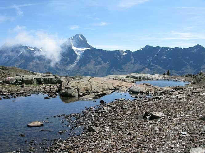
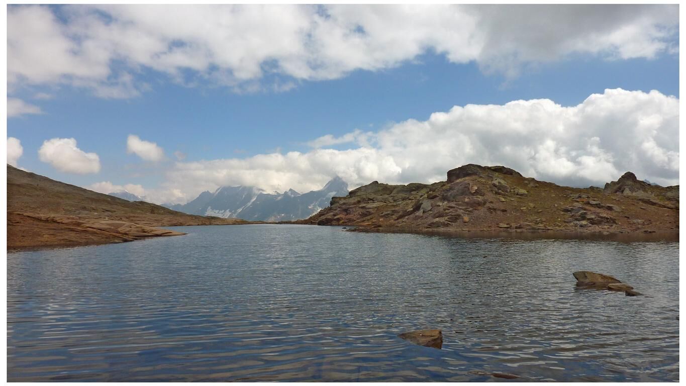
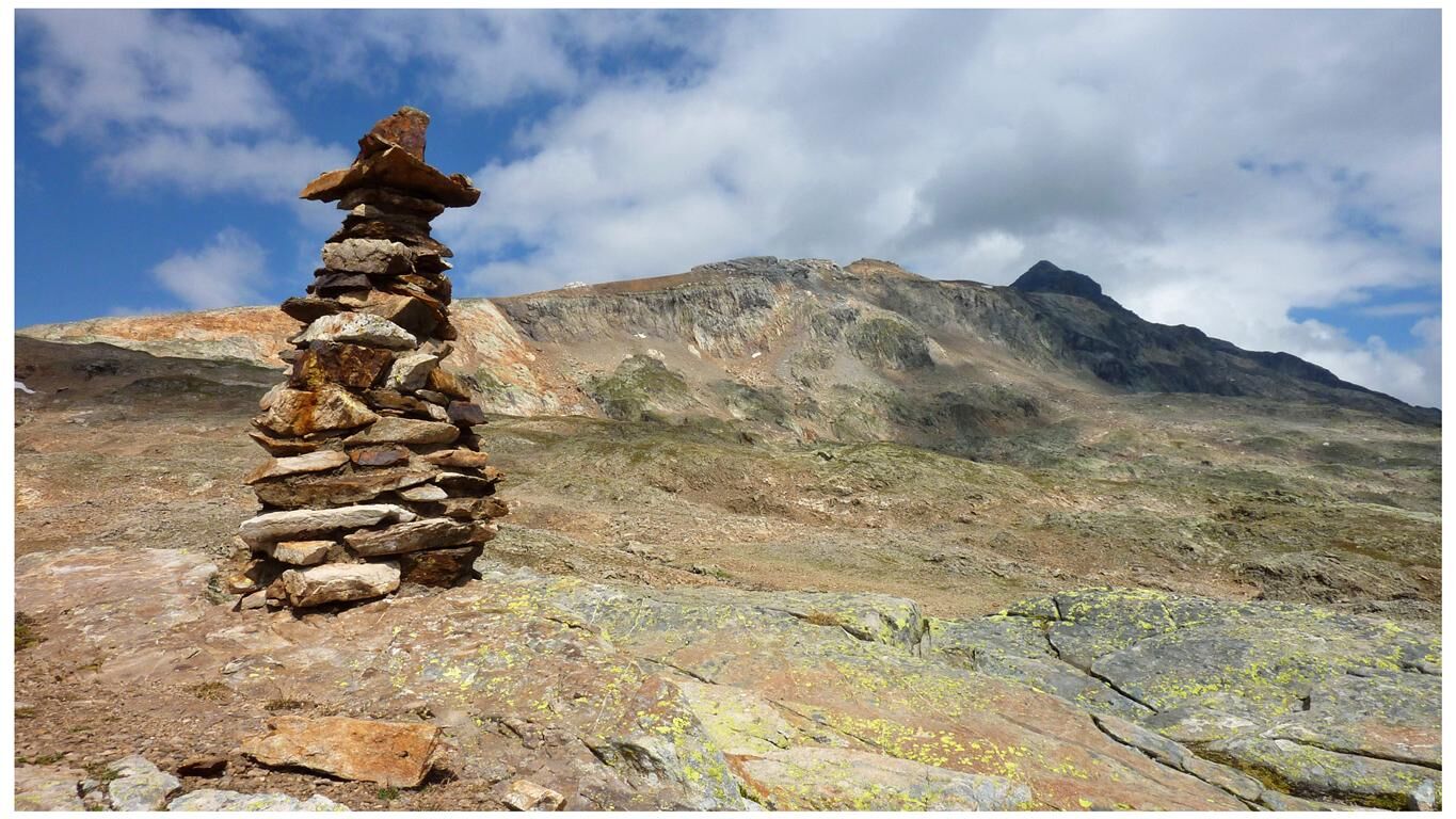
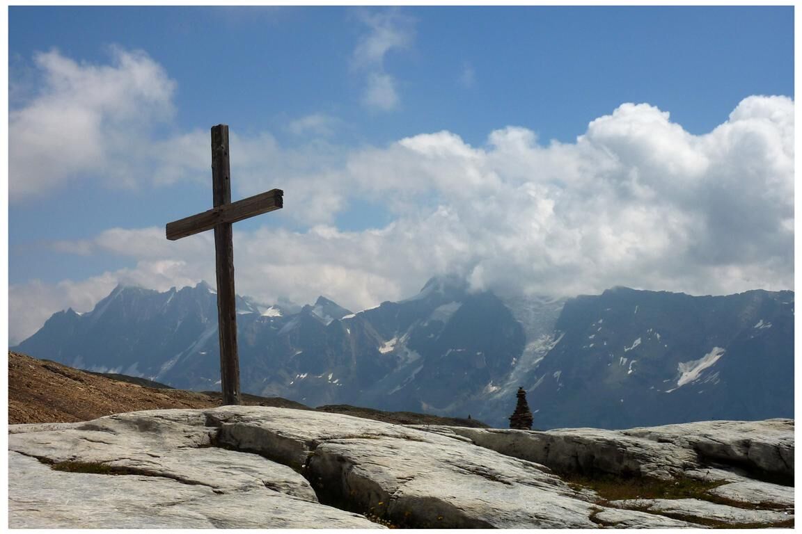
From Lauchernalp you start this beautiful hike with the ascent to the Lötschen Pass. With a culmination point at 2,690m above sea level, the crossing of the Lötschenpass demands some stamina. But the view of the mountains around the Lötschental and the Kandertal is all the more magnificent. The view across to the mighty Bietschhorn and over the Rhone valley to the Mischabel group is particularly breathtaking. On the Lötschenpass you reach the Lötschenpasshütte. Here you can recharge your batteries for the descent into the Lötschen valley (an overnight stay in the Lötschenpasshütte is also possible). On the descent in Bernese Oberland hiking you traverse the Lötschen Glacier, which is covered over long stretches with gravel and stones in all colours. Here and there the blue ice shines through. Meltwater gurgles through small gullies and in some places the water has carved out deep, winding trenches through which the water rushes until it disappears into a hole. However, the glacier is easily walkable with hiking boots. The trail then leads steeply down into the Gasterntal valley to Selden, from where the bus takes you to Kandersteg.
The ascent can be shortened by about 30 minutes by using the Lauchernalp-Stafel chairlift.
- Directions
-
Selden/Gasterental - Lötschenpass - Kummenalp - Lauchernalp
- Highest point
- 2,688 m
- Endpoint
-
Mountain station "Lauchernalp, Holz"
- Height profile
-
 © outdooractive.com
 - Safety instructions
-
Plan your tour carefully
Ensure that you have a full set of appropriate equipment
Never embark on a tour alone
Inform friends, relatives, the mountain hut supervisor or the hotel porter of your proposed tour. Report back when you arrive at your destination.
Keep a constant eye on weather developments
Adhere to the principle: if in doubt, turn back! - Tips
-
The 1: 25,000 scale hiking map is your perfect companion for an unforgettable day's hiking in the Lötschental. Available from the Lötschental Tourist Information Office in Wiler or online at www.loetschental.ch/webshop
- Additional information
-
Lötschenpass Hut - Come to the first “Minergie” mountain hut in the Alps, savour the view across the Valais peaks, let the hut team to pamper you, discover nature all around the lodge, stay in spacious dormitory rooms, gaze at the stars in the suites - and come back again.
More information at: Tel. +41 (0)27 939 19 81 www.loetschenpass.ch - Directions
-
Drive as far as Kandersteg railway station. Park your car there. A bus runs from Kandersteg railway station into the Gasterental valley and to Selden (reservations are essential: Tel. +41 (0)33 671 11 729). The bus runs regularily between June and September (Please inform yourself before your trip).
- Public transportation
-
Take the BLS train to Kandersteg. A bus runs from Kandersteg railway station into the Gasterental valley and to Selden (reservations are essential: Tel. +41 (0)33 671 11 729).
- Parking
-
You can park your car at the Kandersteg railway station car park (not free).

- Author
-
The tour Lauchernalp-Lötschenpass-Selden is used by outdooractive.com provided.


General info
-
Oberwallis
1873
-
Lötschental
1066
-
Ferden
199


