- Brief description
-
Starting at the Tschenten gondola cableway's top station, Schwanfälspitz is reached after only 15 minutes. Already here a breathtaking view of the Bernese Alps opens to the wanderer's eye.
- Difficulty
-
difficult
- Rating
-
- Starting point
-
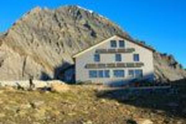
Upper station Tschentenalp
- Route
-
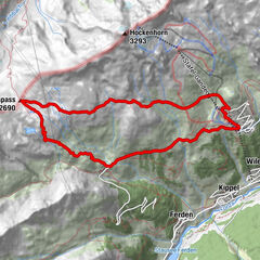
Berghaus Tschentenalp0.0 kmSchwandfeldspitze (2,026 m)0.4 kmOey10.3 kmDorfkirche10.7 kmAdelboden (1,350 m)10.9 km
- Description
-
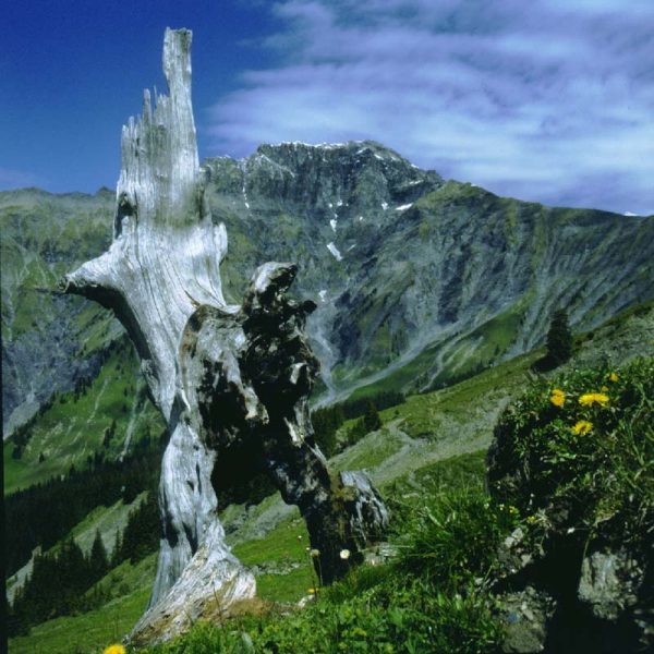
The hike leads along the ridge until the entry to the Gsür-Gräben (rift). The Gsür's (2nd highest mountain of the Niesen mountain chain) craggy southern slope offers an impressive scenery for the hiking trail to Furggi (2091 masl). Here begins a steep descent to Horebrügg that is followed by a gentle walk to Schermtanne (restaurant) and back to the village of Adelboden.
Note(s)
Descent: 930 elevation meters - Directions
-
Tschentenalp - Schwandfälspitz - Gsür Gräben - Furggi - Im Hore - Schermtanne - Adelboden
- Highest point
- 2,182 m
- Endpoint
-
Adelboden, village
- Height profile
-
 © outdooractive.com
 - Equipment
-
T3+ – Difficult Mountain Hiking
Path/terrain
Path not always obvious/visible. The more exposed areas can be secured. You may need your hands for balance. Some exposed areas remain, where there is a risk of falling. Pathless sections over scree or talus.If marked according to SWW standards: White-red-white.
Requirements
Good balance and surefootedness. Mid/high top hiking boots are recommended. Average orientation skills. Basic alpine experience.
(Source: SAC Mountain and Alpine Hiking Scale)
- Safety instructions
-
Open hiking trails may still be partially covered with snow. Hiking is at your own risk: Tourism Adelboden-Lenk-Kandersteg accepts no liability whatsoever when using local routes.
- Tips
-
Excursions also leave footprints on our social media channels. More alpine impressions are shared by active outdoor goers on Instagram and Facebook.
- Additional information
- Directions
- Public transportation
- Parking


- Author
-
The tour Gsür trail is used by outdooractive.com provided.


General info
-
Oberwallis
1877
-
Adelboden
989
-
Frutigen
318