


- Brief description
-
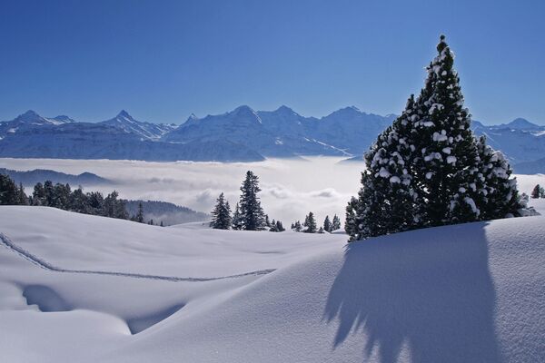
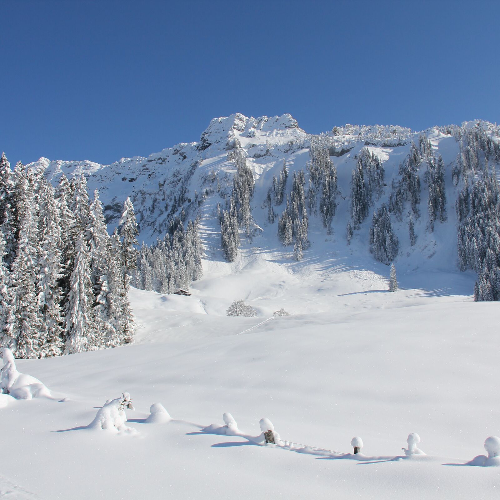
Die Region um Sigriswil und dem stattlichen Sigriswiler Rothorn ist im Sommer ein beliebtes Wandergebiet. Die sonnige Lage ob dem Thunersee und das ausgezeichnete Panorama locken auch im Winter Wanderbegeisterte an. Bei wenig Schnee sind kurze Spaziergänge zur Wilerallmi oder Richtung Margel möglich. Wenn genügend Schnee liegt, bieten sich mit dem Dünzenegg Trail oder dem Rüeggers Trail wunderbare signalisierte Schneeschuhtrails an.
- Difficulty
-
medium
- Rating
-
- Best season
-
AugSepOctNovDecJanFebMarAprMayJunJul
- Description
-
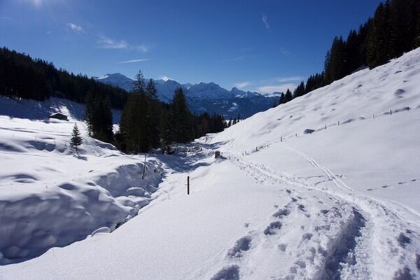
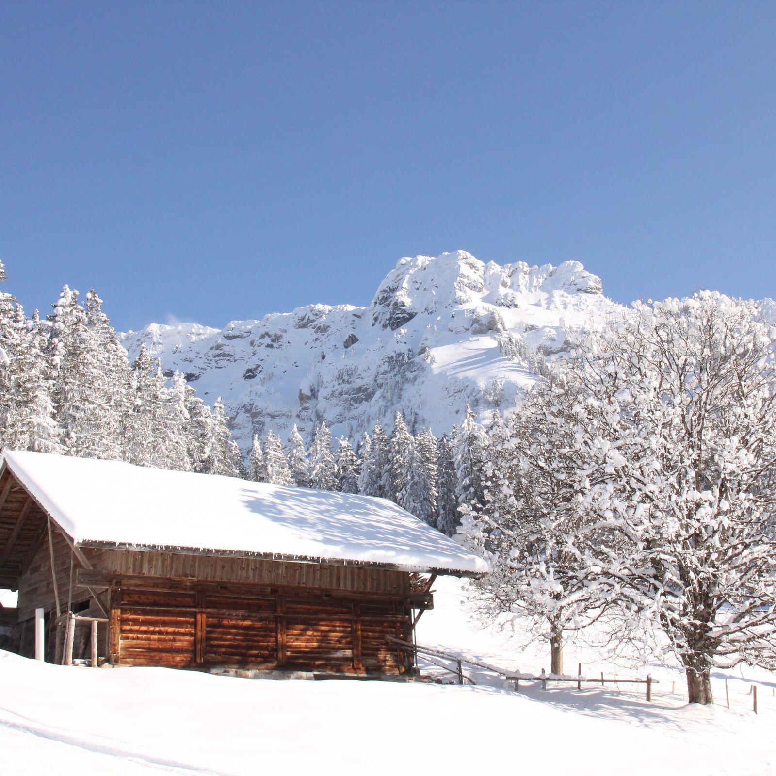
Both snowshoe trails start just after the bus stop “Schwanden Säge”. The trails follow the summer hiking trail until you reach the water reservoir. From here you slowly climb through forests and meadows, past the “Zenggisboden” to the “Stampfhut”. At this point a breathtaking view of the Lake of Thun and the Bernese Alps await you.
The moderately difficult “Dünzenegg” trail (red) leads you to the “Undere” and “Obere Matte” on the “Schonegg”. At the edge of the forest on a sunny hill you can enjoy the view of central Switzerland and Emmental. A short distance away you will reach the highest point of the trail, 1460 meters above sea level. Through the powder snow of “Tonimoos” and past the “Lischenhütte”the trail then leads to “Dünzenegg”. Here you follow the snow covered alp road and continue along until you get to the entrance into the forest. The trail then takes a left and continues to “Lischenhutte” from “Rüeggers”. Now it is time to take a moment to enjoy absolute silence. Then follow the trail to the edge of the forest and after entering the forest hike down to “Zenggisboden”. From here you can follow your tracks back the way you came to “Schwanden Säge”.
- Highest point
- 1,452 m
- Endpoint
-
Schwanden (Sigriswil) / Säge
- Height profile
-
 © outdooractive.com
 - Safety instructions
-
Use the trails at your own risk!
The time needed for the routes can vary, depending on the amount and texture of the snow, the condition of the trails, and the physical fitness of the hiker. An approximate time of 2 to 3 hours would be appropriate.
Level of difficulty red (medium to difficult): Suitable for snowshoers with some experience. Moderate steep countryside with occasional steep and exposed passages as well as crossings which require a suitable technique during the ascent and descent. It is advantageous to have a certain level of knowledge in the mountains and a good head for heights.


-

-
AuthorThe tour Dünzenegg Trail - Sigriswil (signalisiert) is used by outdooractive.com provided.


-
Obwalden
122
-
Eriztal
52
-
Horrenbach-Buchen
13