© Lenk-Simmental Tourismus AG - Lenk-Simmental Tourismus

© Lenk-Simmental Tourismus AG - Lenk-Simmental Tourismus
- Brief description
-
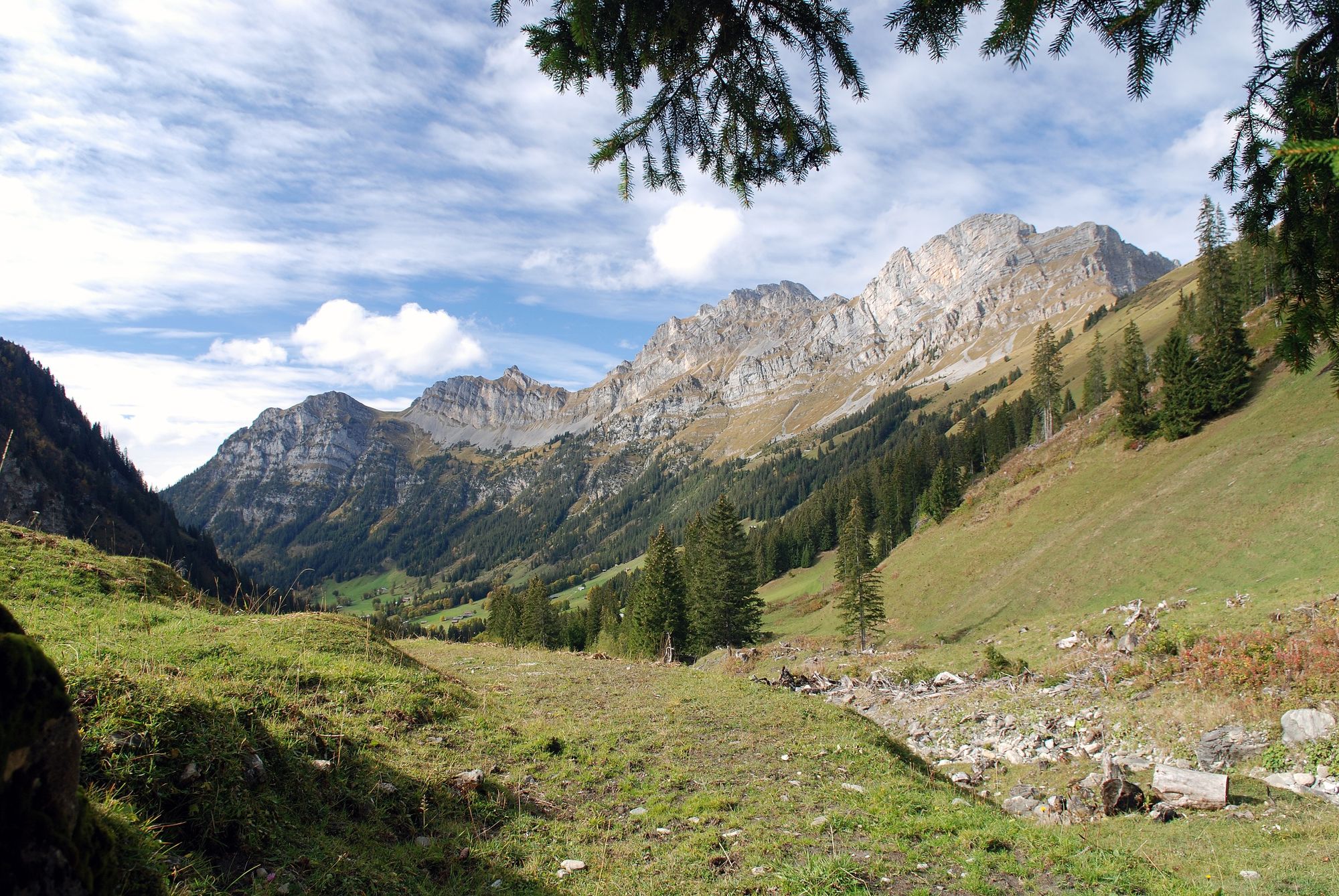
Easy e-bike tour from Lenk to the unspoilt Färmeltal.
- Difficulty
-
easy
- Rating
-
- Starting point
-
Lenk
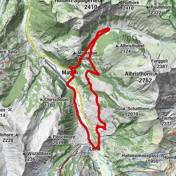
- Route
-
Lenk im Simmental (1,068 m)Lenk (1,068 m)0.1 kmBachti10.6 kmZil10.8 kmStalde11.2 kmRestaurant Alpenrose11.4 kmSchwäfelbrünneli12.1 kmMatten14.9 kmBerghölzli15.0 kmLenk (1,068 m)20.3 kmLenk im Simmental (1,068 m)20.4 km
- Best season
-
JanFebMarAprMayJunJulAugSepOctNovDec
- Description
-
The tour starts with an ascent along the asphalt road up the Gutenbrunnen. The view gets better with every metre of altitude gained. Past Bleike-Stafel, the route turns off to the left and follows an unpaved track leading through alpine meadows and mountain forests all the way to the Färmeltal. There are various options for branching off along this stretch. The Färmeltal side valley remains an untouched wilderness and forms the highpoint of this tour! A detour along the increasingly steep asphalt road will take you right to the end of the Färmeltal, 1650 metres above sea. You'll be rewarded with a stunning view back down the Färmeltal. Follow either the gravelled road or the asphalt road back towards the bottom of the valley as far as Matten, from where a level cycle path leads back to Lenk.
This trail is technically easy and there are no off-road singletrack sections.
- Highest point
- 1,439 m
- Endpoint
-
Lenk
- Height profile
-
 © outdooractive.com
 - Additional information
-
For the leg from Färmeltal to Matten you have a choice between descending on the gravel track or the road. To take the gravel track, turn off onto the hiking trail towards Matten shortly after Restaurant Alpenrose. This leads to Matten along the left bank of the stream.
- Public transportation
- Parking
-
There are public car parks in the village.

-

-
AuthorThe tour Lenk - Bleike Stafel - Obersteg - Färmeltal - Matten - Lenk is used by outdooractive.com provided.
GPS Downloads


General info
Refreshment stop
A lot of view
Other tours in the regions
-
Thyon les Collons
108
-
Lenk-Simmental
82
-
Lenk im Simmental
31