- Difficulty
-
medium
- Rating
-
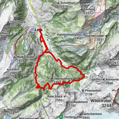
- Starting point
-
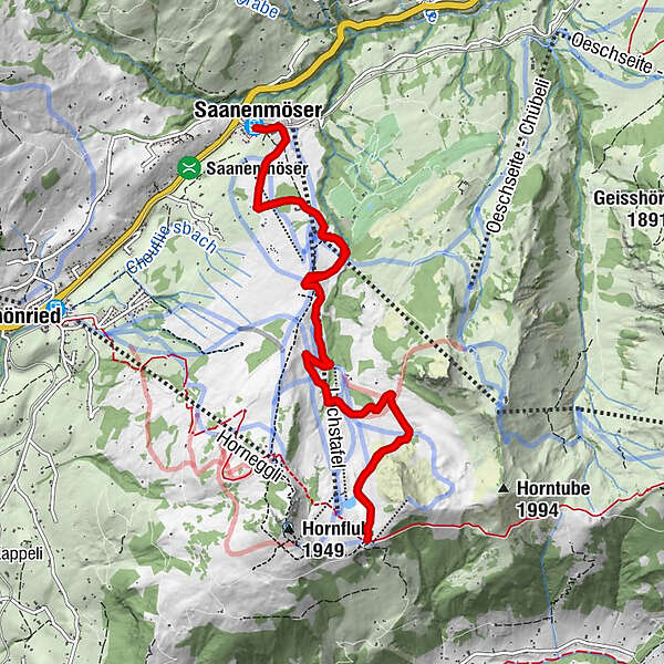
Saanenmöser, railway station
- Route
-
Saanenmöser (1,271 m)Berghotel Hornberg5.9 kmHotel Hornfluh5.9 kmSaanenmöser (1,271 m)11.9 km
- Best season
-
JanFebMarAprMayJunJulAugSepOctNovDec
- Description
-
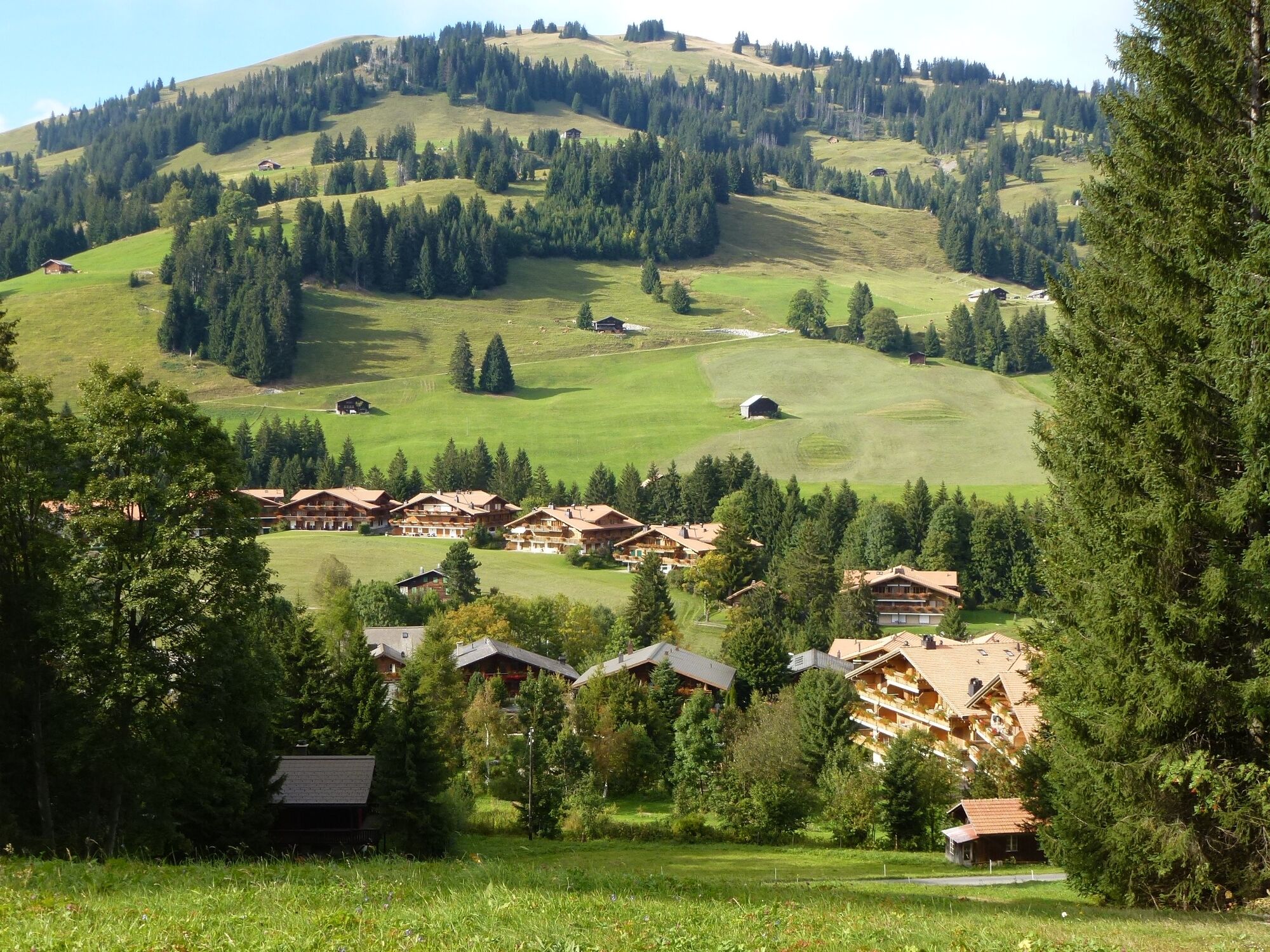
The helpful assistance of the electrobike can be used to the full on the steady climb from Saanenmöser. The effort is certainly worth it as the view from the Hornberg down into the valley and over the mountains is spectacular. The downhill return offers lots of cycling pleasure.
- Directions
-
Saanenmöser - Hornberg - Saanenmöser
- Highest point
- 1,811 m
- Endpoint
-
Saanenmöser, railway station
- Height profile
-
 © outdooractive.com
 - Equipment
-
Clothing and equipment appropriate to the weather, tool kit and first aid kit.
- Tips
-
Possibility to charge the bike's battery with your own device: Berghotel Hornberg Saanenmöser; Hotel Kernen Schönried; Golfhotel Les Hauts de Gstaad & Spa Saanenmöser.
- Additional information
- Directions
-
The Destination Gstaad is located in the south-west of Switzerland right on the border to the French-speaking part of the country. The Destination is easily accessed by rail or car from the regions around Lake Thun and Lake Geneva and the Gruyere region Direct connections to the European high-speed rail network and all international airports in Switzerland guarantee a time-saving and pleasant journey.
- Public transportation
-
Saanenmöser train station
- Parking
-
Parking Saanenmöser


-

-
AuthorThe tour Saanenmöser - Hornberg - Saanenmöser is used by outdooractive.com provided.
GPS Downloads


General info
Refreshment stop
A lot of view
Other tours in the regions
-
Thyon les Collons
108
-
Destination Gstaad
88
-
Saanenmöser
37