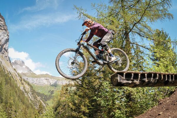
- Brief description
-
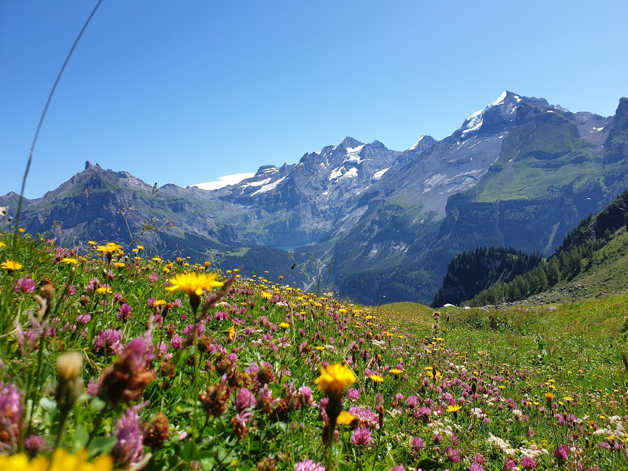
Wonderful bike route with a magnificent view of the Blümlisalp massif.
- Difficulty
-
medium
- Rating
-
- Starting point
-
Kandersteg train station
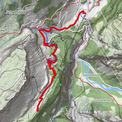
- Route
-
Kandersteg (1,174 m)Gemmi2.3 kmBergrestaurant Lohner7.0 kmSchwymbödi7.6 kmAllmenalp (1,725 m)10.5 kmSchwymbödi13.5 kmBergrestaurant Lohner14.1 kmGemmi18.7 kmKandersteg (1,174 m)20.7 kmReformierte Kirche20.8 kmKandersteg (1,176 m)21.2 km
- Best season
-
JanFebMarAprMayJunJulAugSepOctNovDec
- Description
-
A stunning bike route with glorious views of the Blüemlisalp mountain range. From the village centre follow the road as far as Bären barracks. Alternatively, follow the route along the river Kander past the International Scout Centre. The bike route continues uphill as far as Usser Ueschinen (several steep curves, paved route) where you turn right in the direction of Ryharts - Allmenalp and continue the ascent. More and more impressive views are a reward for the effort. Then, continue the descent to Allmenalp. Alternative route: Load the bike onto Allmenalp cable car and then enjoy the easy bike ride via Ryharts - Usser Ueschinen to Kandersteg.
- Directions
-
Kandersteg - Sunnbüel base station - Usser Ueschinen - Allmenalp - return
- Highest point
- 1,786 m
- Endpoint
-
Kandersteg train station
- Height profile
-
 © outdooractive.com
 - Tips
-
Transport (incl. bike) is possible with the cable cars of Kandersteg Allmenalp AG
- Additional information
- Directions
-
By car to Kandersteg.
- Public transportation
-
By train to Kandersteg train station.
-

-
AuthorThe tour Allmenalp Biketour is used by outdooractive.com provided.