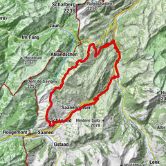
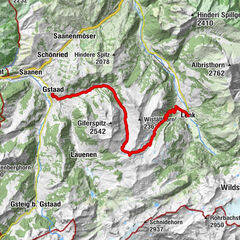
Rougemont: Gstaad - Saanen - Underbort - Rougemont - Les Planards - Saanen - Gstaad

Mountainbike

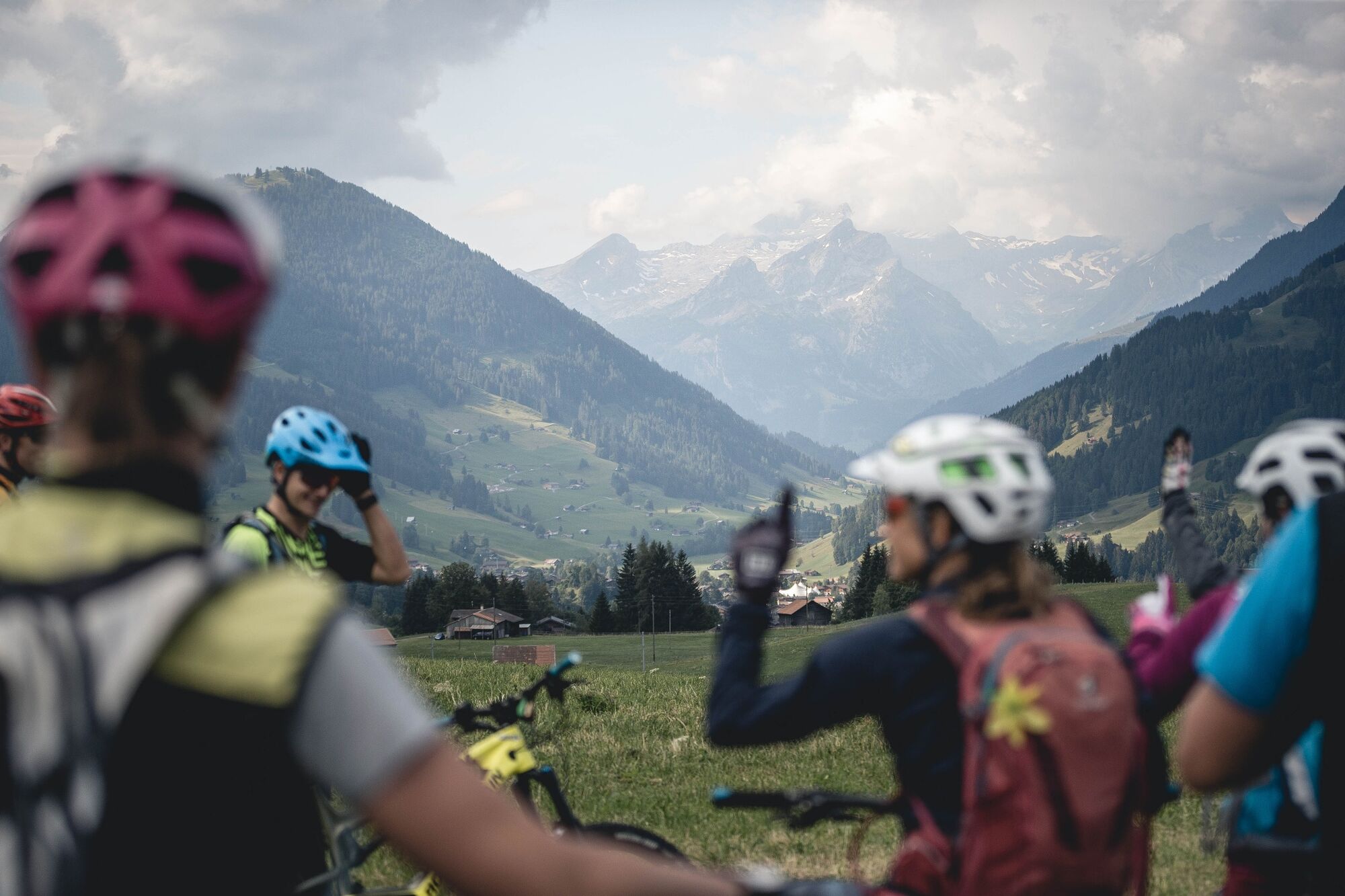
© Destination Gstaad - Destination Gstaad / Moritz Ablinger


© Destination Gstaad - Destination Gstaad / Moritz Ablinger
© Destination Gstaad - Destination Gstaad / Moritz Ablinger

- Difficulty
-
medium
- Rating
-
- Starting point
-
Gstaad, railway station
- Route
-
Gstaad (1,049 m)Gstaad (1,050 m)0.2 kmSaanen (1,010 m)3.4 kmMauritius-Kirche Saanen3.8 kmSt. Anna-Kapelle3.8 kmFoto-Spot Gstaad Saanenland4.6 kmHuus Gstaad4.7 kmLes Bodemos9.6 kmRougemont10.9 kmValrose11.1 kmLes Revers (970 m)11.6 kmSWISS FORT KNOX I19.0 kmSaanen (1,014 m)19.7 kmGstaad (1,050 m)22.7 kmGstaad (1,049 m)22.9 km
- Best season
-
JanFebMarAprMayJunJulAugSepOctNovDec
- Description
-
Ride along the river Saane to Saanen. Then follow the main road from Saanen to Zweisimmen and tackle a few meters in altitude. Side and gravel roads lead in constant ups and downs to Rougemont. Here a 45 minute ascent is to be expected. From Les Planards a paved forest path leads down to Saanen. Ride along the Saane mback to Gstaad.
- Directions
-
Gstaad - Saanen - Underbort - Rougemont - Les Planards - Saanen - Gstaad
- Highest point
- 1,359 m
- Endpoint
-
Gstaad, railway station
- Height profile
-
 © outdooractive.com
 - Equipment
-
Mountainbike, clothing and equipment appropriate to the weather, tool kit and first aid kit.
- Additional information
- Directions
-
The Destination Gstaad is located in the south-west of Switzerland right on the border to the French-speaking part of the country. The Destination is easily accessed by rail or car from the regions around Lake Thun and Lake Geneva and the Gruyere region Direct connections to the European high-speed rail network and all international airports in Switzerland guarantee a time-saving and pleasant journey. The main means of transport in the destination of Gstaad are the "MOB" (Montreux-Oberland Bernois) train and numerous post bus lines.
- Public transportation
-
Gstaad train station
- Parking
-
Various parking spaces and car parks are available in Gstaad.


-

-
AuthorThe tour Rougemont: Gstaad - Saanen - Underbort - Rougemont - Les Planards - Saanen - Gstaad is used by outdooractive.com provided.
GPS Downloads


General info
Refreshment stop
Other tours in the regions
-
Alpes Vaudoises
98
-
Destination Gstaad
108
-
Saanen
36