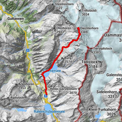

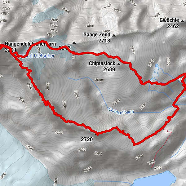
Tour data
9.58km
2,189
- 3,265m
1,098hm
1,093hm
04:56h
- Brief description
-
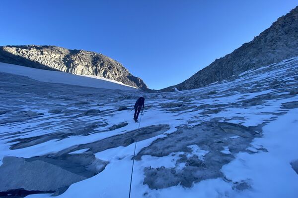
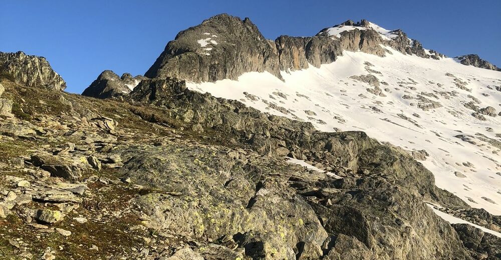
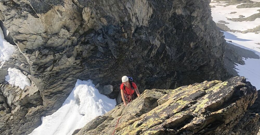
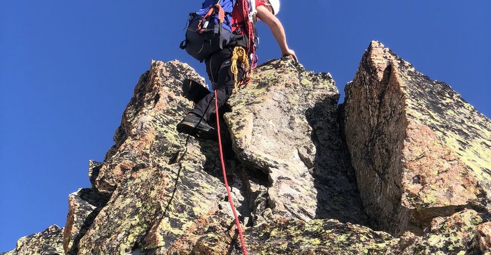
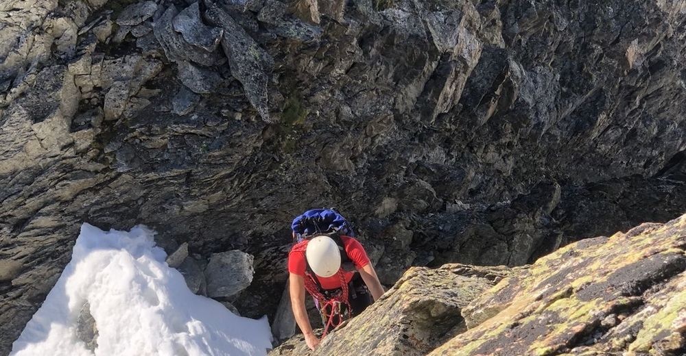
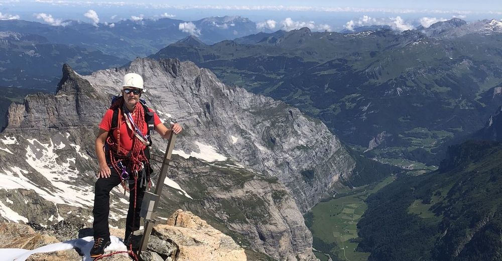
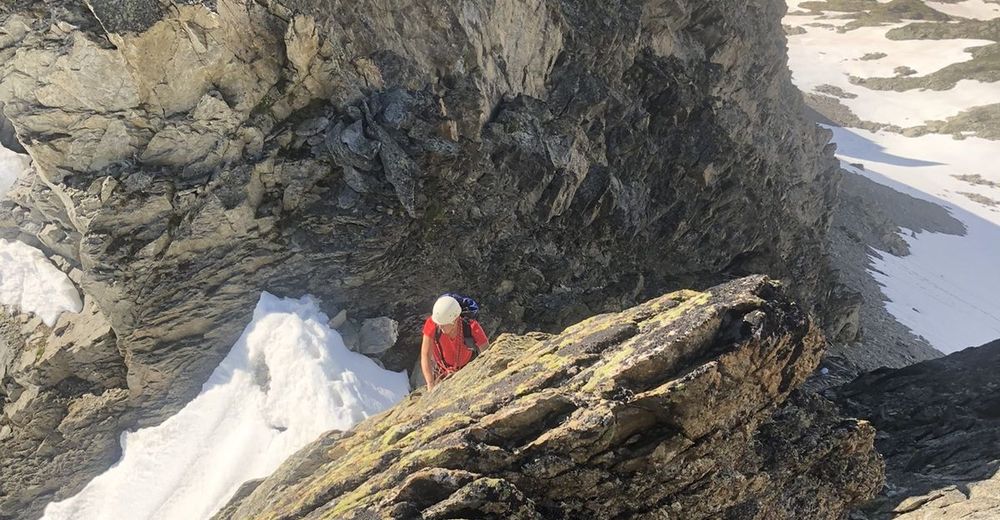
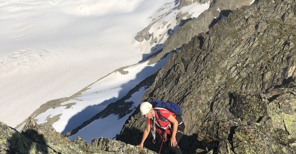
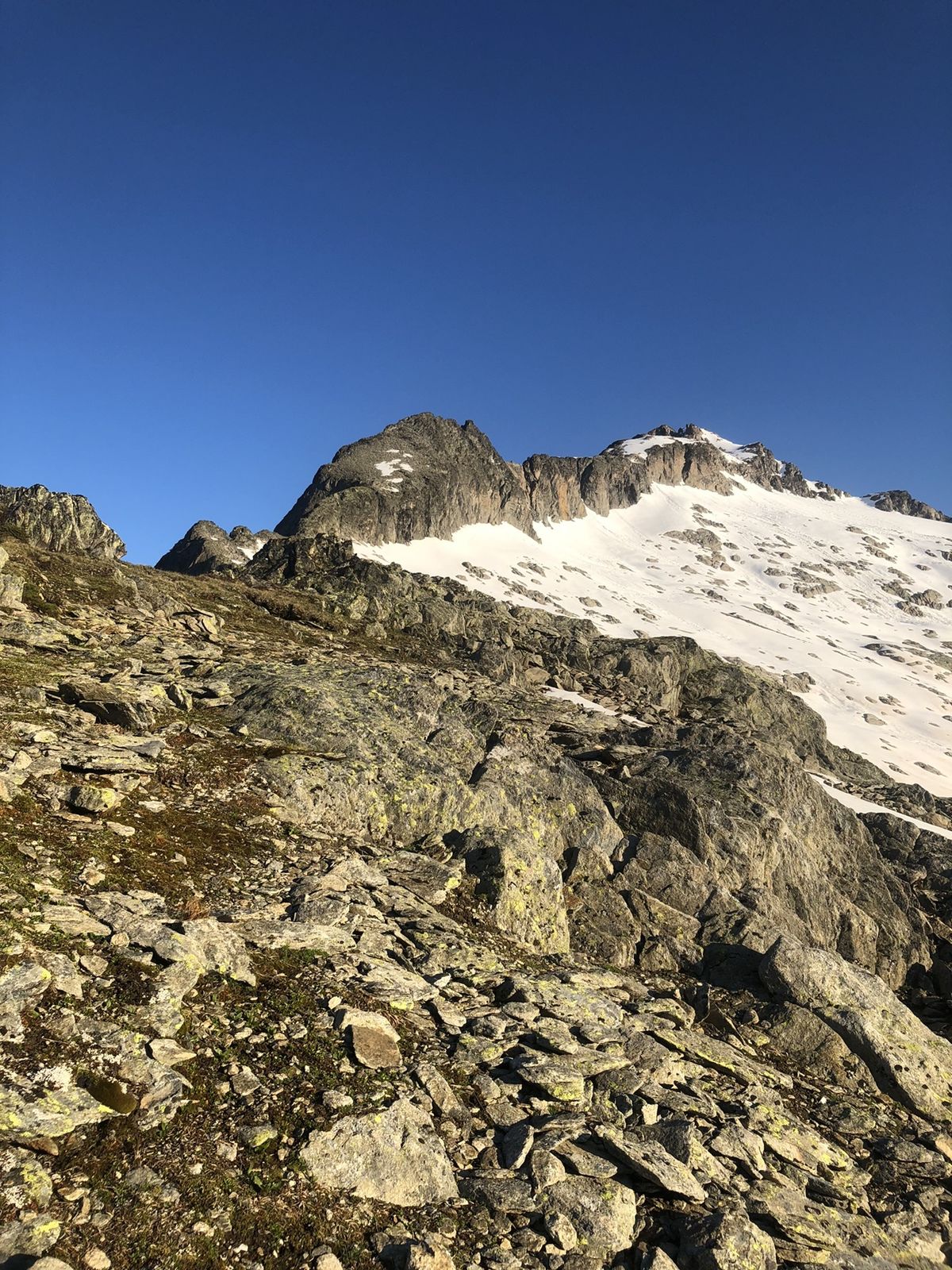
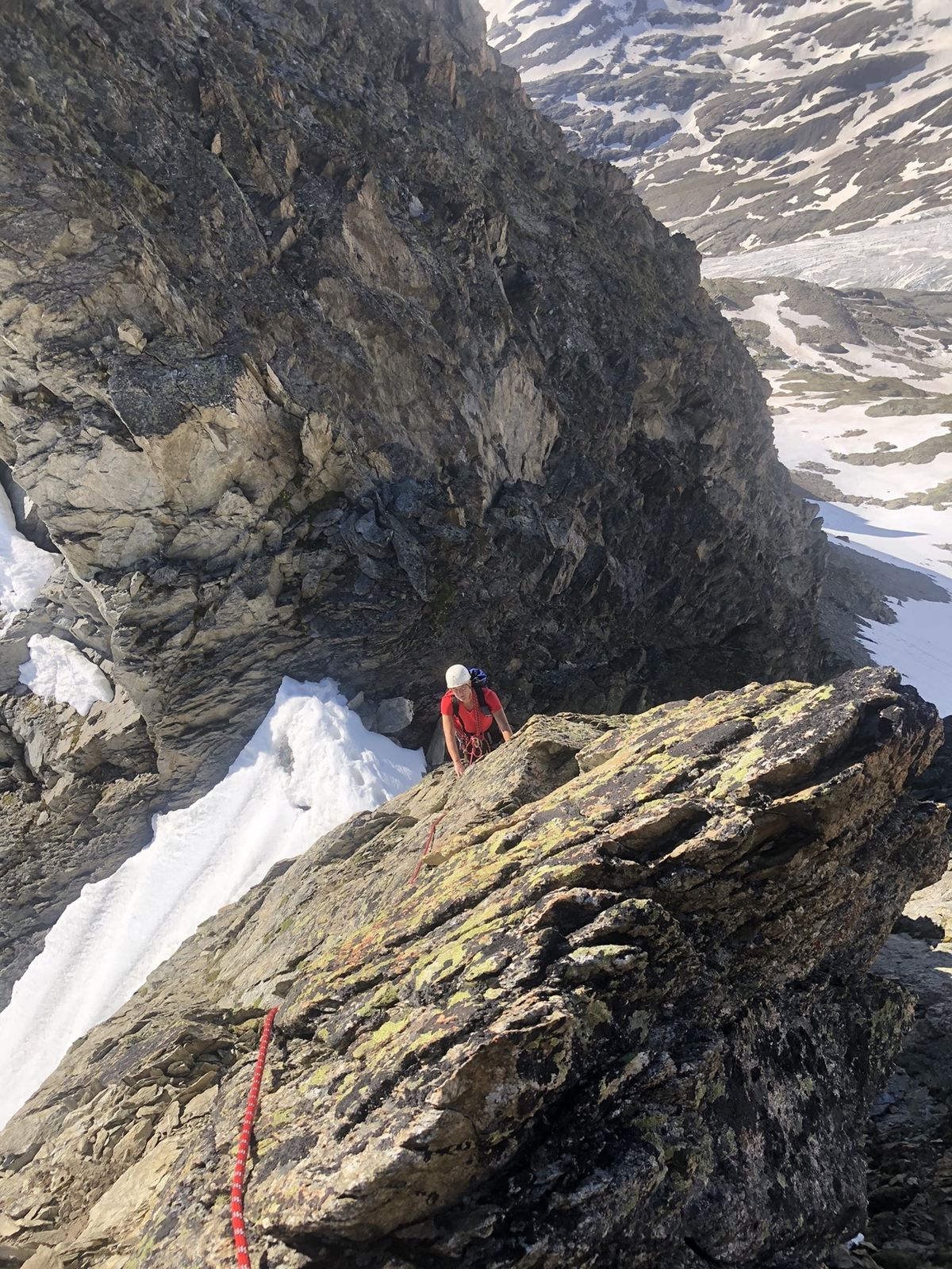
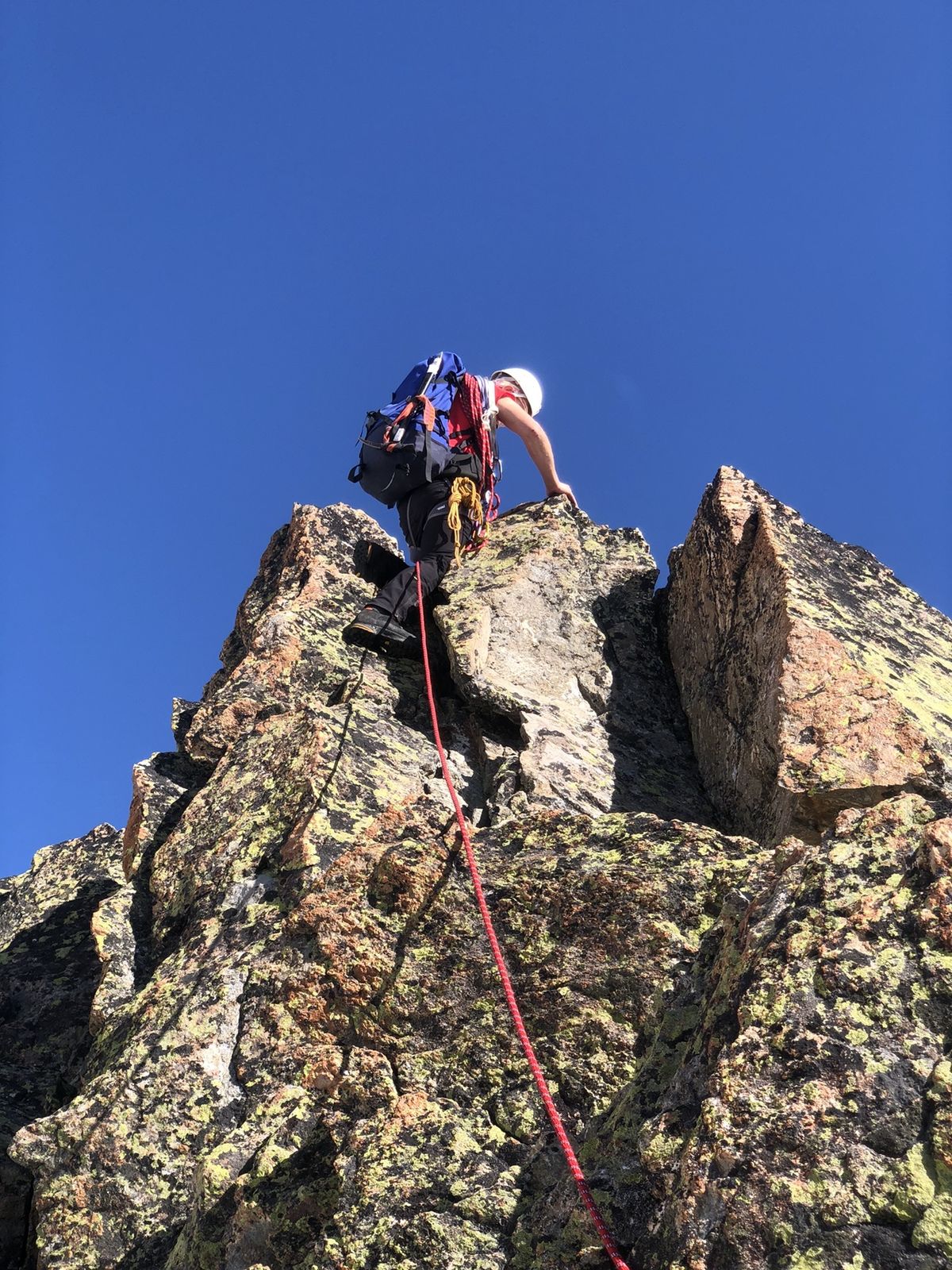
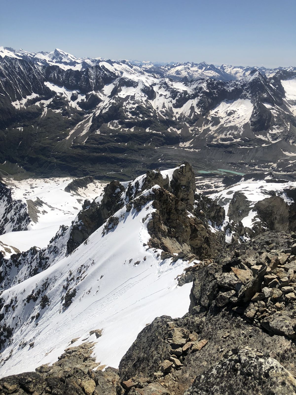
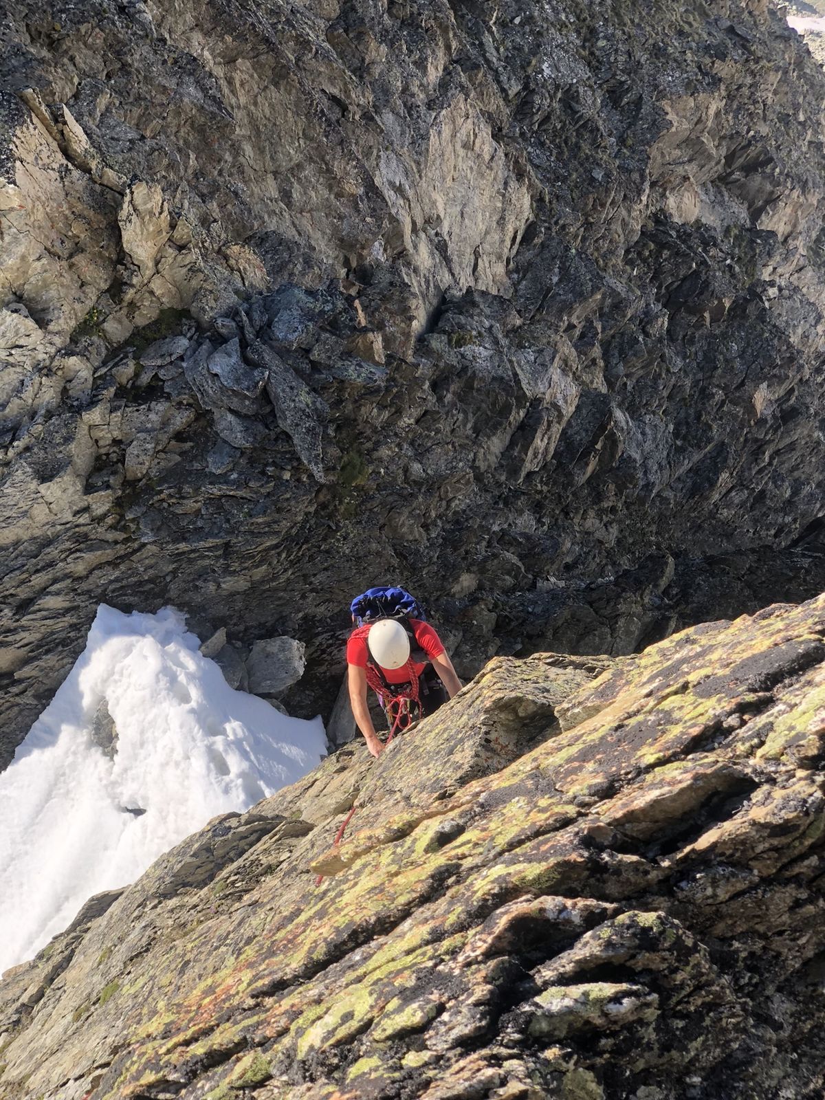
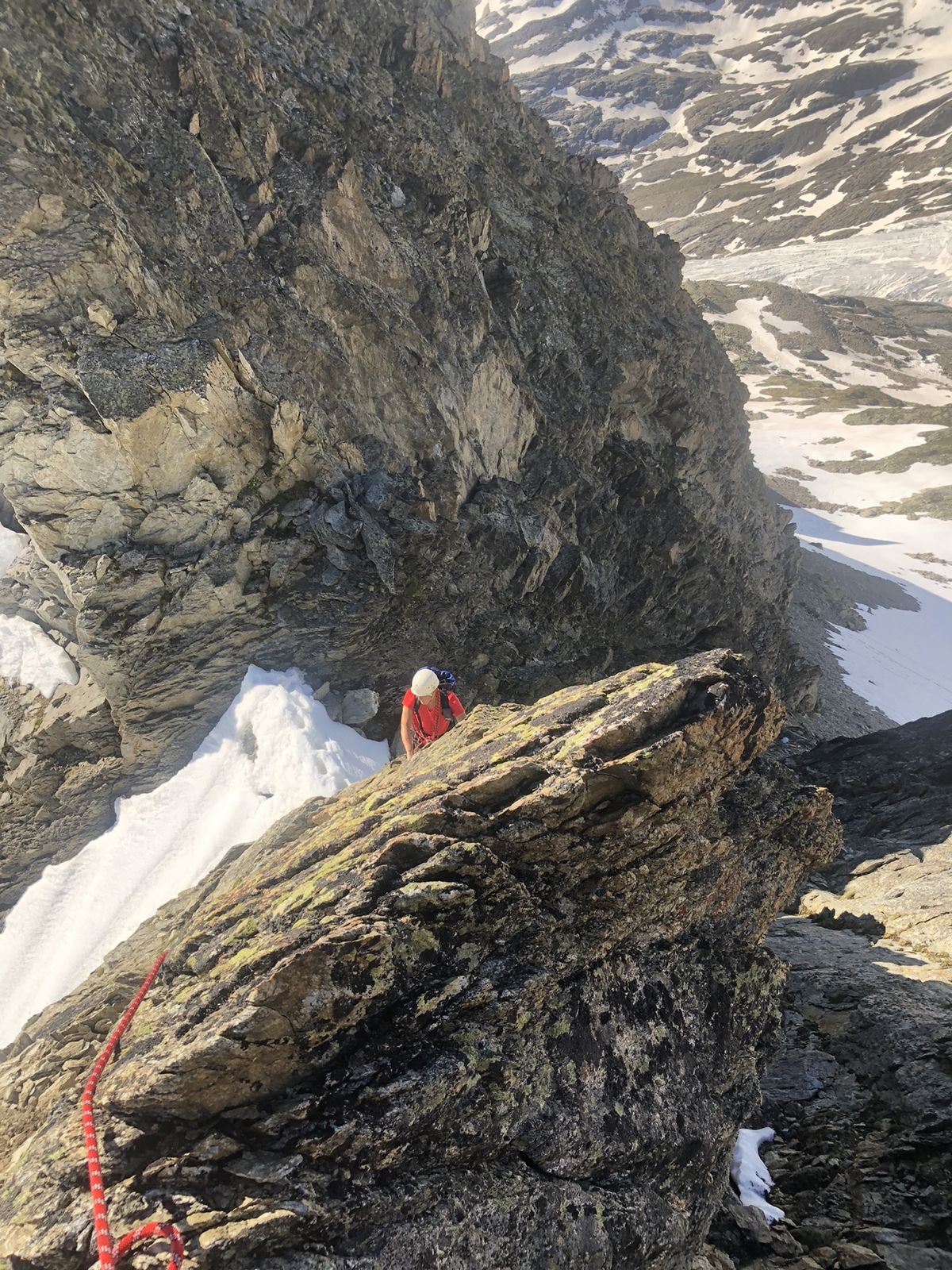
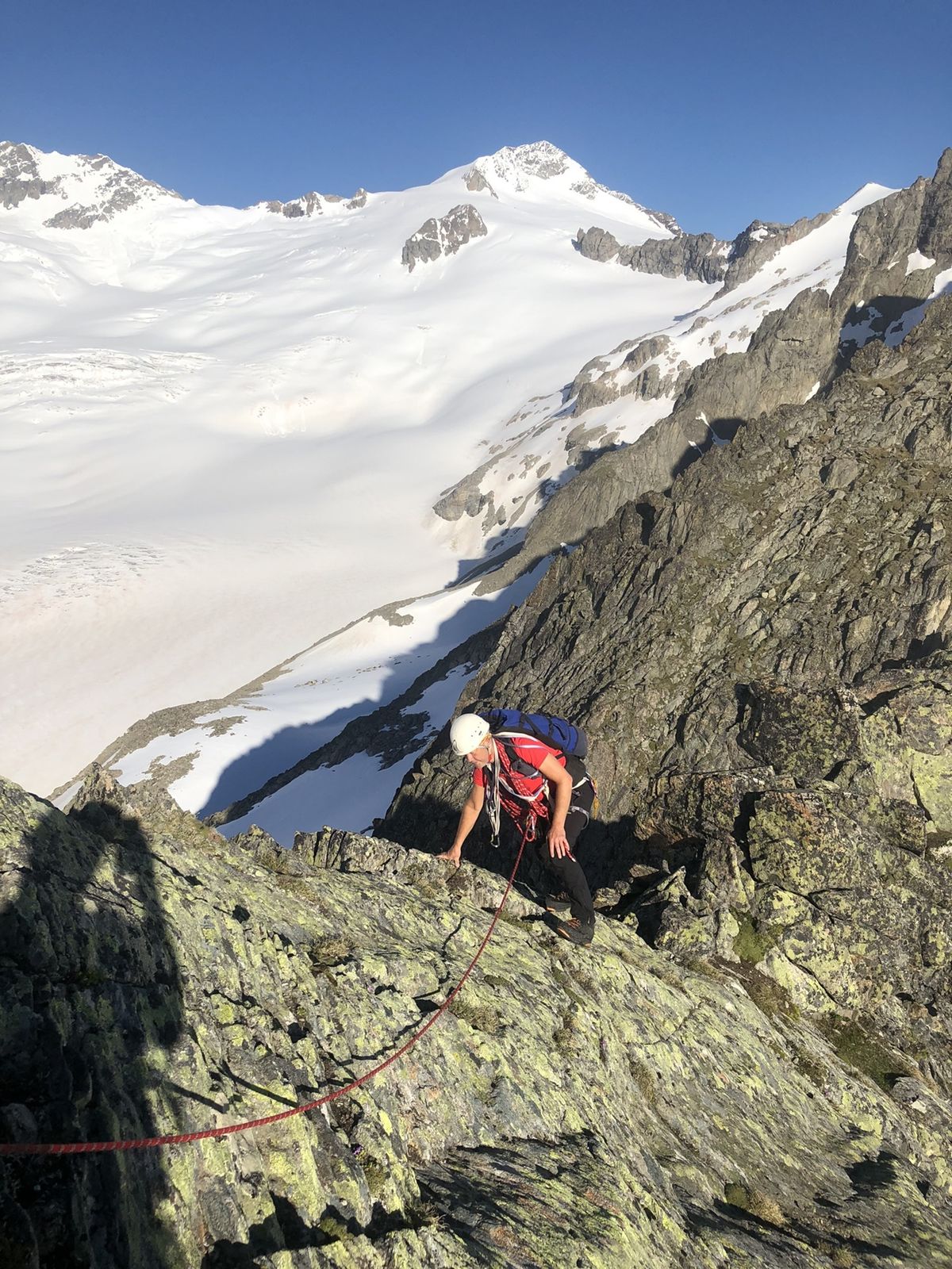
Sehr schone aber anspruchsvolle tour. Wegen ein orientationsfehler haben wir die ganze Gammligrat (2km!!) gemachte. Nicht notwendig!!
- Difficulty
-
medium
- Rating
-
- Route
-
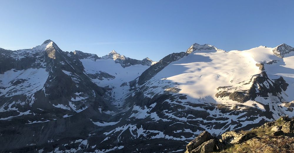
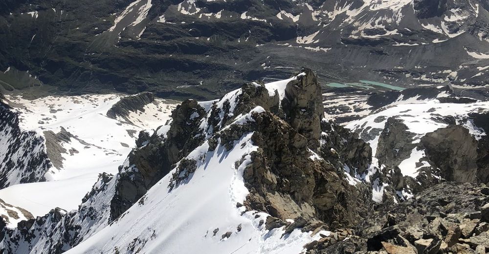
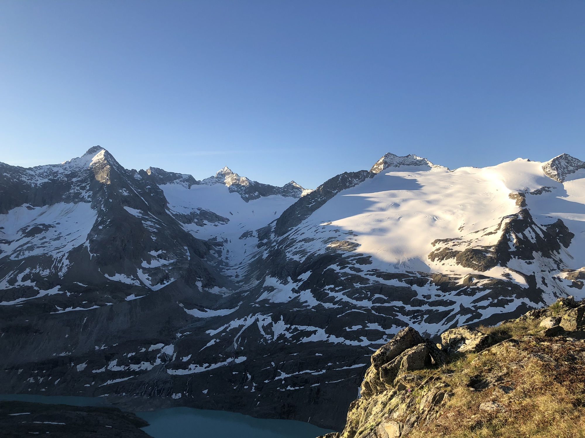
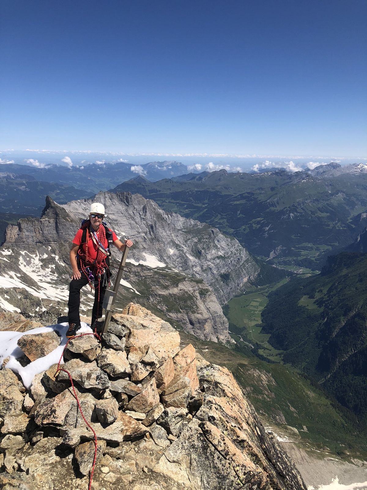
Gaulihütte SAC0.0 kmChipfestock (2,689 m)7.9 kmGaulihütte SAC9.6 km
- Best season
-
JanFebMarAprMayJunJulAugSepOctNovDec
- Highest point
- 3,265 m

GPS Downloads


Other tours in the regions
-
Obwalden
30
-
Haslital
26
-
Innertkirchen
3