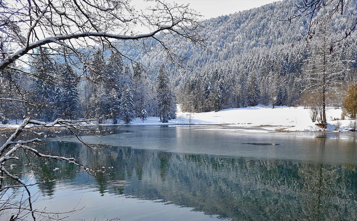
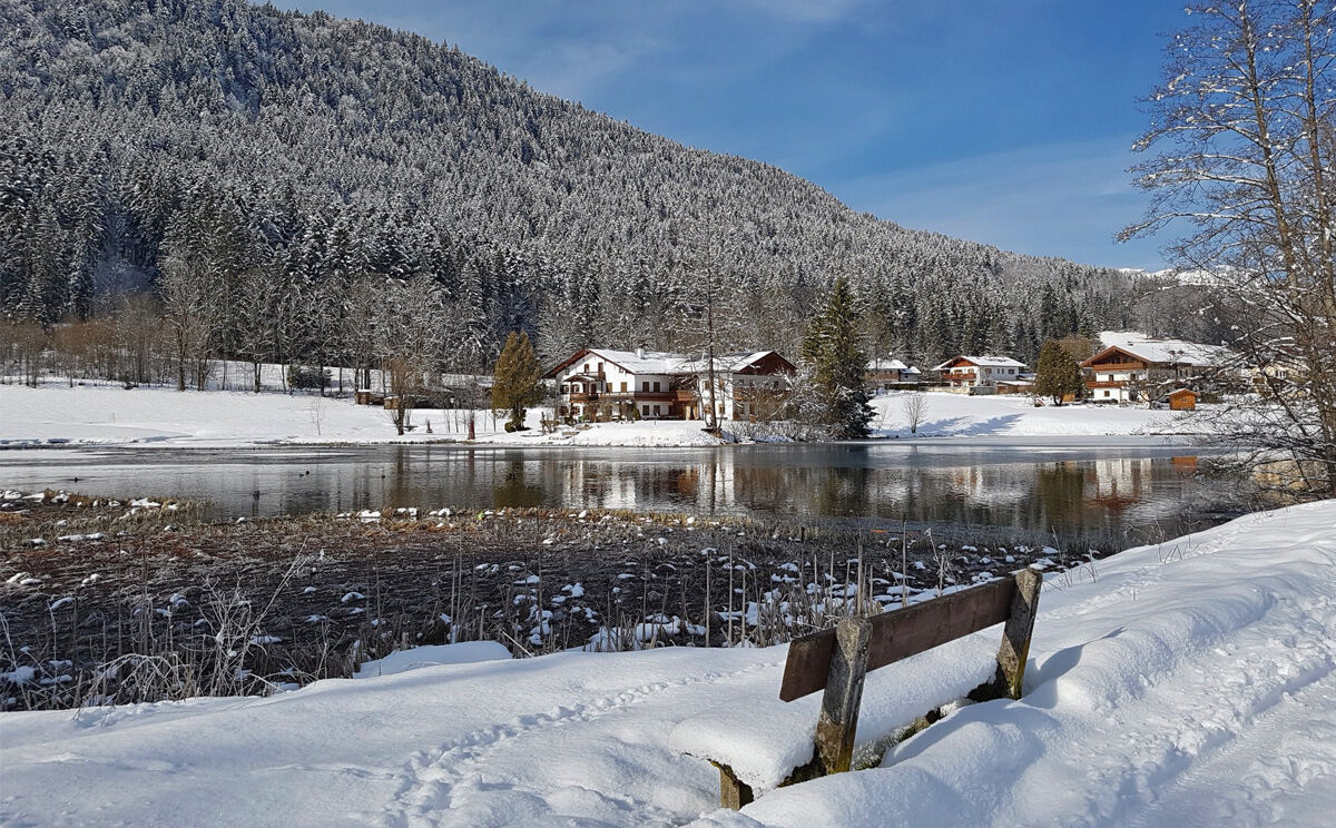
© Tourenportal Berchtesgadener Land - Landhaus Waldhauser

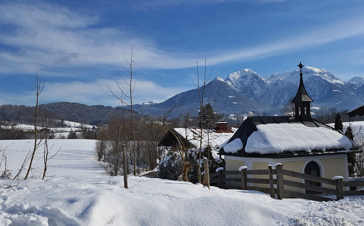
© Tourenportal Berchtesgadener Land - Landhaus Waldhauser

© Tourenportal Berchtesgadener Land - Landhaus Waldhauser

© Tourenportal Berchtesgadener Land - Landhaus Waldhauser

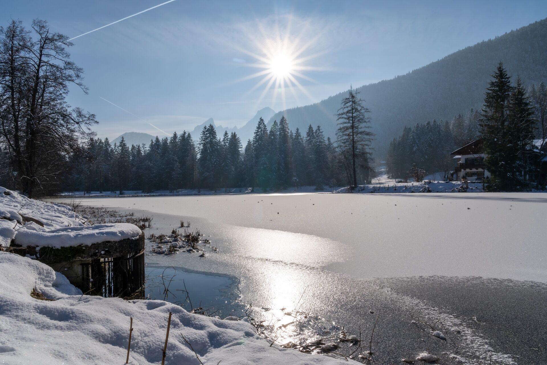
© Bergerlebnis Berchtesgaden - Sepp Wurm
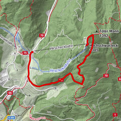
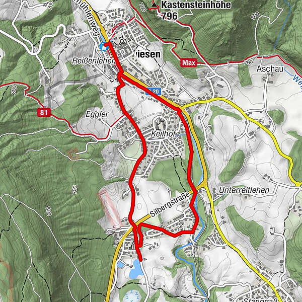
Tour data
4.63km
592
- 634m
33hm
31hm
02:00h
- Brief description
- Difficulty
-
easy
- Rating
-
- Route
-
BischofswiesenPfarrkirche Herz-Jesu0.2 kmKriegerdenkmal0.2 kmBischofswiesen (615 m)0.2 kmBrenner Bräu0.3 kmBruschetta0.5 km
- Best season
-
AugSepOctNovDecJanFebMarAprMayJunJul
- Highest point
- 634 m
- Endpoint
-
Ortszentrum Bischofswiesen
- Height profile
-
 © outdooractive.com

-

-
AuthorThe tour Vom Dorfbrunnen Bischofswiesen zum Böcklweiher is used by outdooractive.com provided.
GPS Downloads


General info
Cultural/Historical
Other tours in the regions