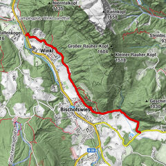
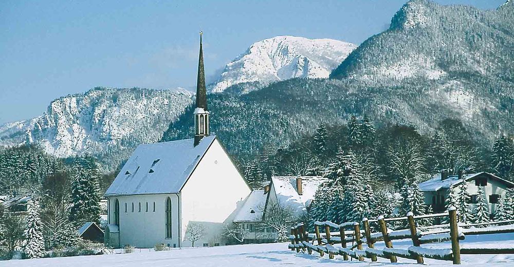
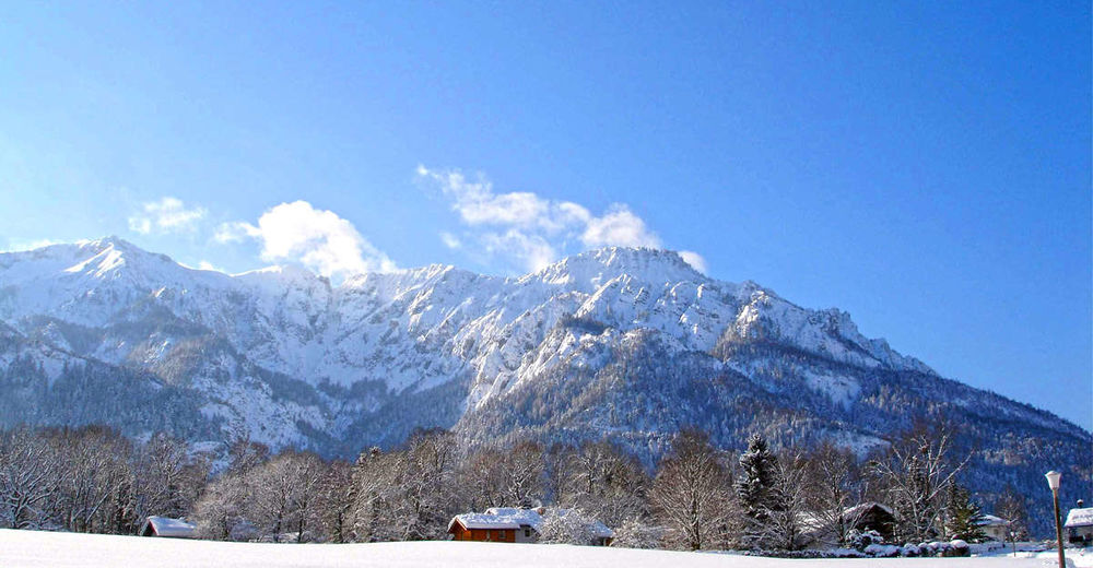
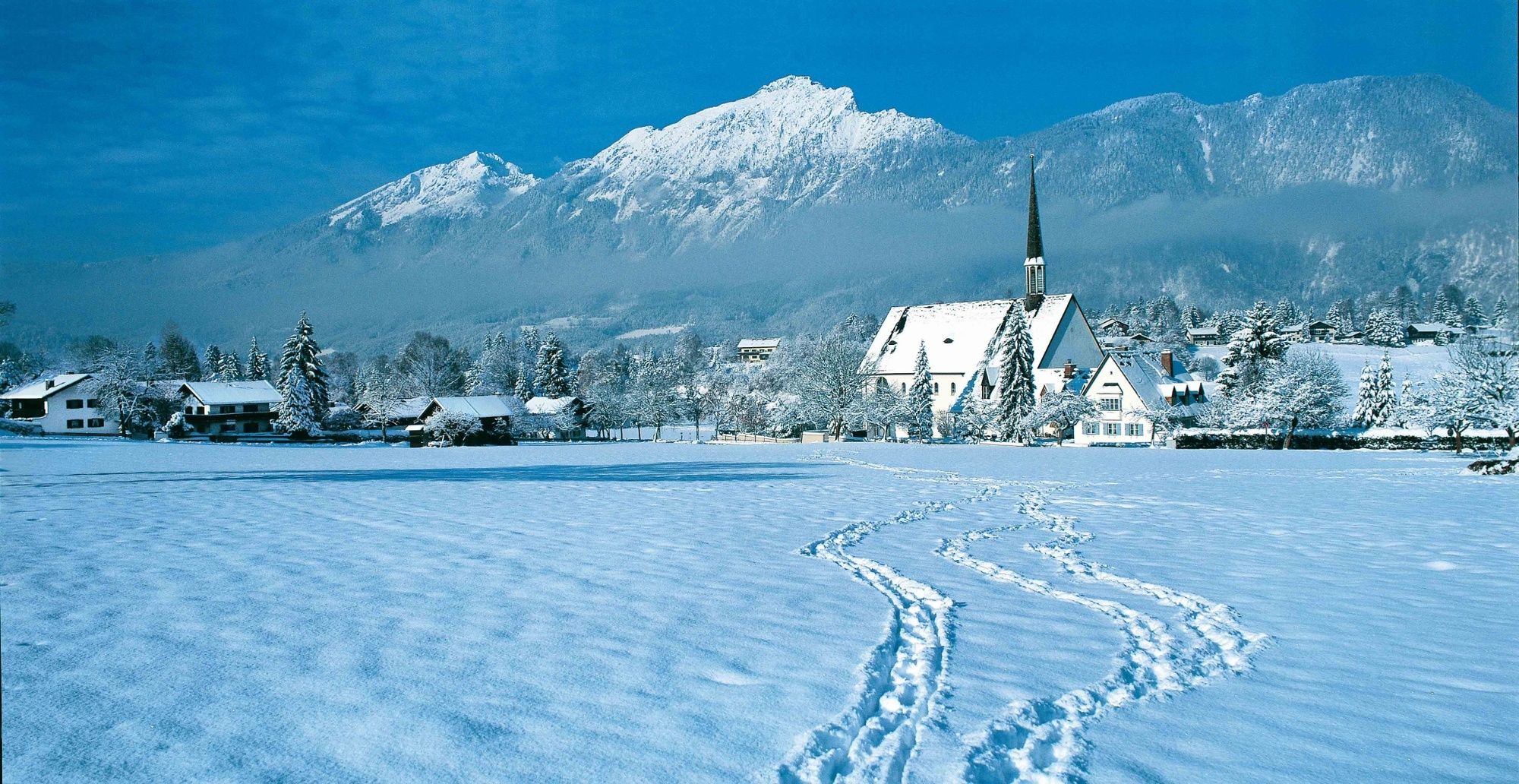
Winterwanderung auf dem Hallthurmer Weg - von Bayerisch Gmain nach Hallthurm

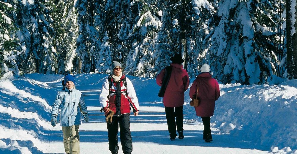
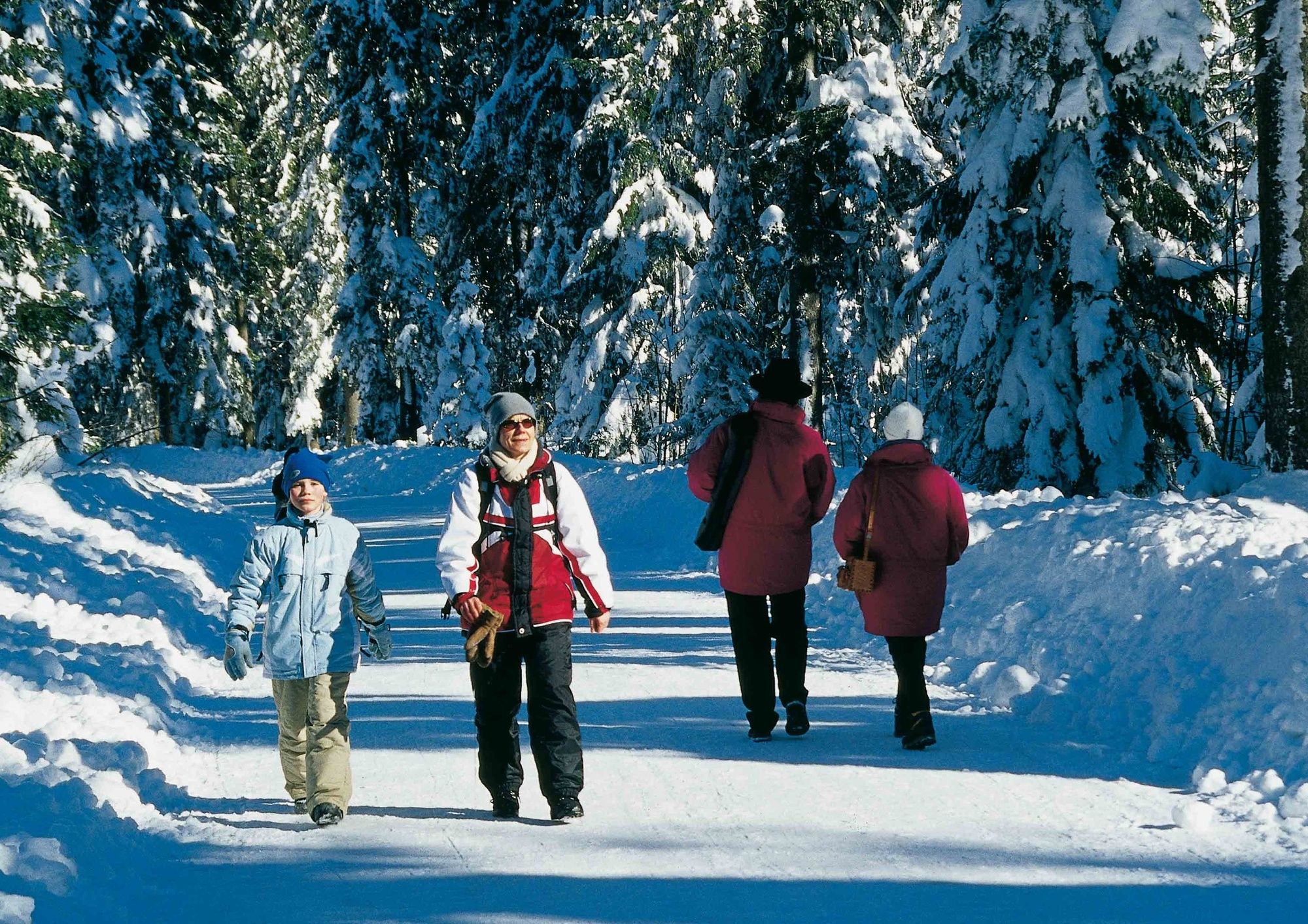
Winter hiking
© Tourenportal Berchtesgadener Land - Bergerlebnis Berchtesgaden
© Tourenportal Berchtesgadener Land - Berchtesgadener Land Tourismus GmbH

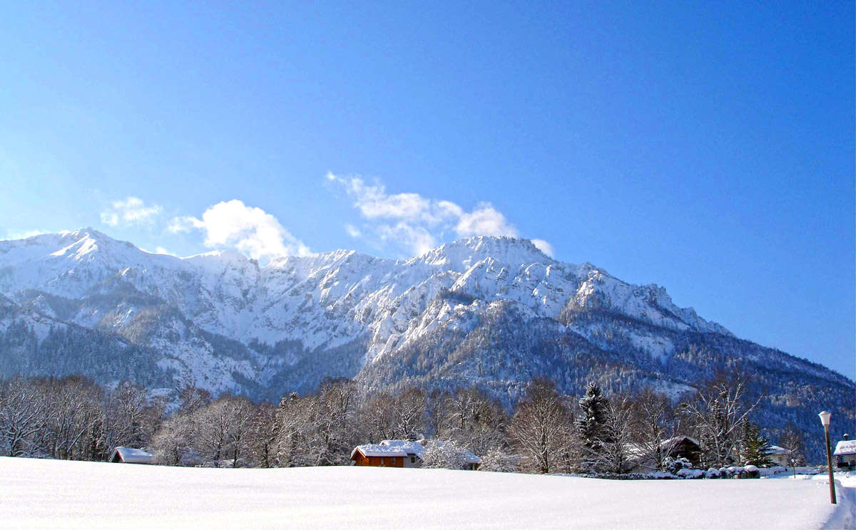
© Tourenportal Berchtesgadener Land - Bergerlebnis Berchtesgaden
© Tourenportal Berchtesgadener Land - Bergerlebnis Berchtesgaden
Tour data
3.78km
560
- 693m
124hm
11hm
01:30h
- Brief description
-
Von Bayerisch Gmain nach Hallthurm
- Difficulty
-
medium
- Rating
-
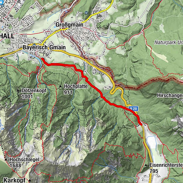
- Route
-
Bad Reichenhall (473 m)Bayerisch Gmain
- Best season
-
AugSepOctNovDecJanFebMarAprMayJunJul
- Highest point
- 693 m
- Endpoint
-
Hallthurm
- Height profile
-
 © outdooractive.com

-

-
AuthorThe tour Winterwanderung auf dem Hallthurmer Weg - von Bayerisch Gmain nach Hallthurm is used by outdooractive.com provided.
GPS Downloads


General info
Flora
Other tours in the regions