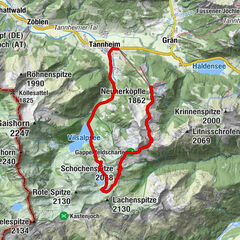
Tour data
7.61km
802
- 1,711m
1,214hm
1,214hm
02:30h
- Brief description
-
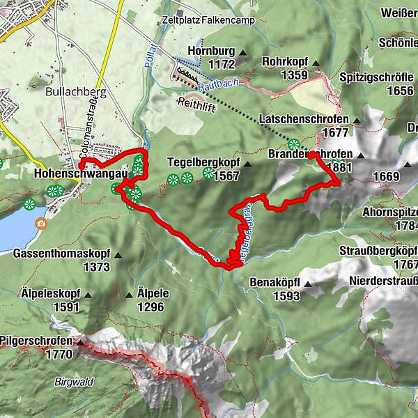
Von der Tegelbergbahn Bergstation bis zur Bleckenau.
- Difficulty
-
medium
- Rating
-
- Starting point
-
Parkplatz Hohenschwangau
- Route
-
Hohenschwangau0.0 kmPanoramablick Schwangau1.8 kmWasserfall unterm Schloss1.9 kmPöllatfall2.1 kmTegelberghaus (1,707 m)7.5 kmPanorama Restaurant7.6 kmTegelbergbahn (Bergstation)7.6 km
- Best season
-
JanFebMarAprMayJunJulAugSepOctNovDec
- Highest point
- 1,711 m
GPS Downloads


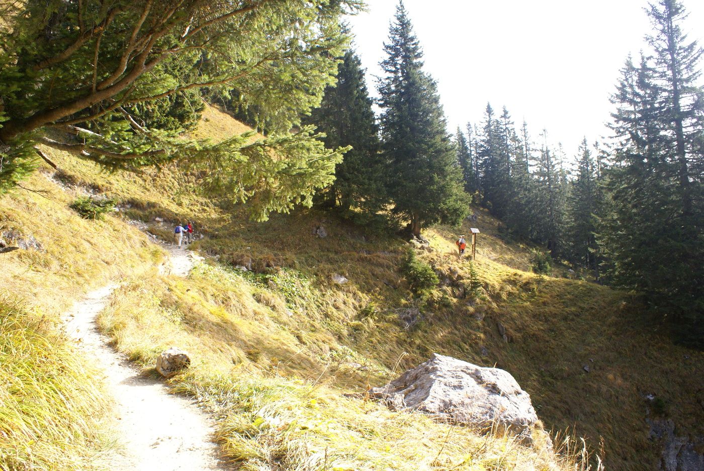
Trail conditions
Asphalt
Gravel
Meadow
Forest
Rock
Exposed
Other tours in the regions