© Tourist Information Schwangau - Jana Lebetz
© Tourist Information Schwangau - Jana Lebetz

© Tourist Information Schwangau - Silvia Zeilmeir
© Tourist Information Schwangau - Jana Lebetz

© Tourist Information Schwangau - Jana Lebetz

- Brief description
-
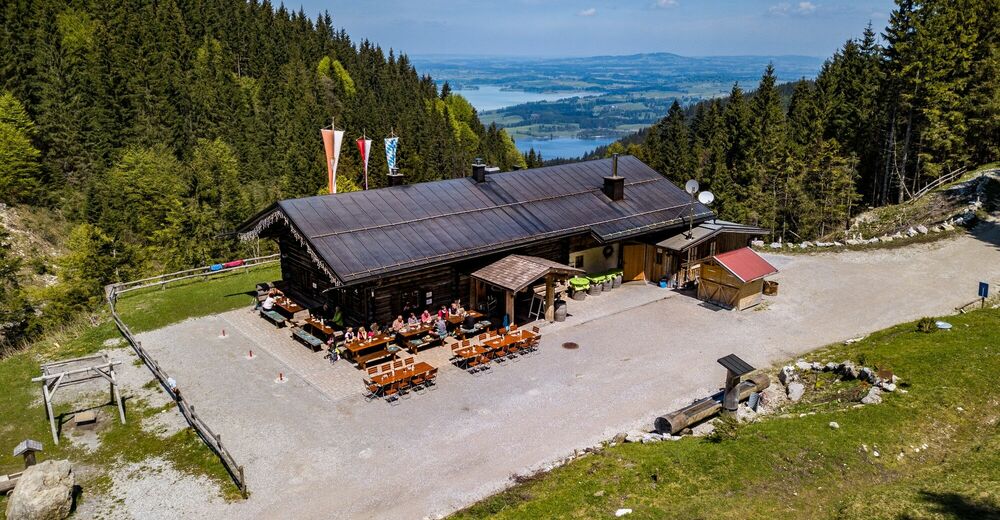
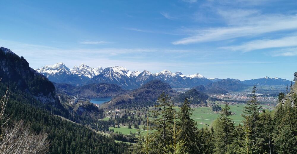
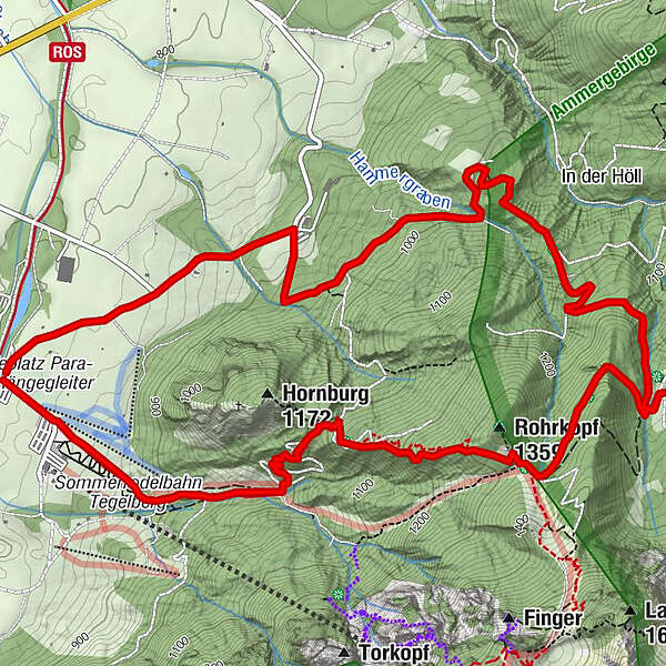
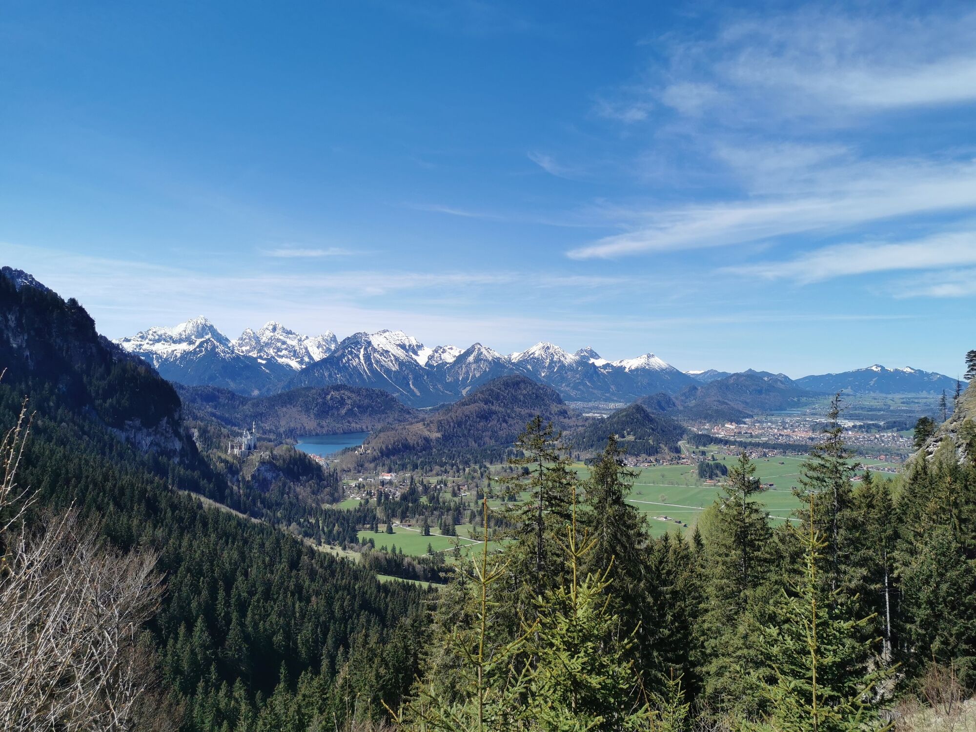
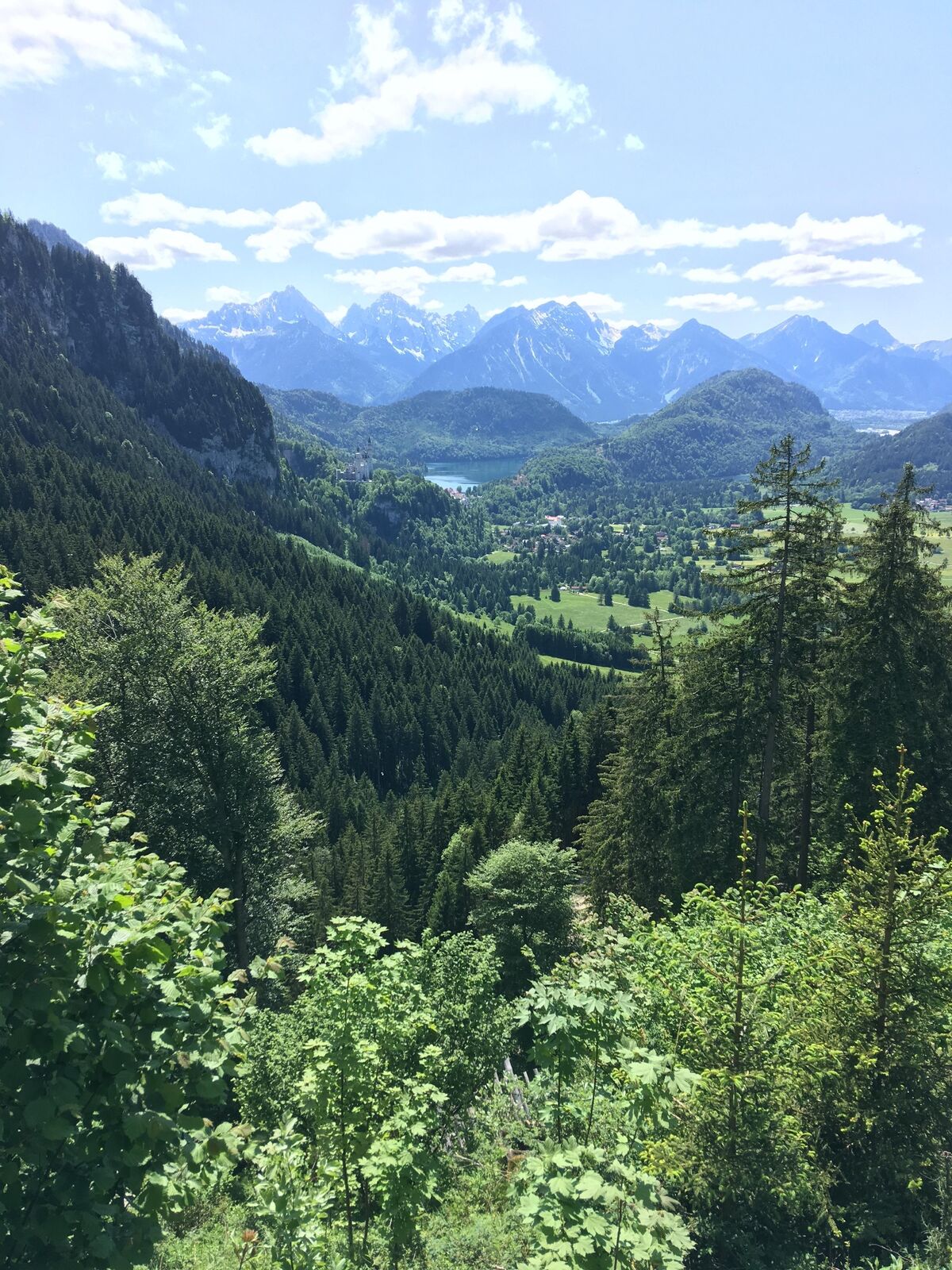
Parkplatz Tegelbergbahn – Drehhütte – Rohrkopfhütte – Schutzengelweg – Parkplatz Tegelbergbahn
- Difficulty
-
medium
- Rating
-
- Route
-
Rohrkopfhütte5.6 km
- Best season
-
JanFebMarAprMayJunJulAugSepOctNovDec
- Highest point
- 1,318 m
- Endpoint
-
Parkplatz Tegelbergbahn-Talstation
- Height profile
-
 © outdooractive.com


- Author
-
The tour Rundwanderung Dreh- und Rohrkopfhütte is used by outdooractive.com provided.
GPS Downloads


General info
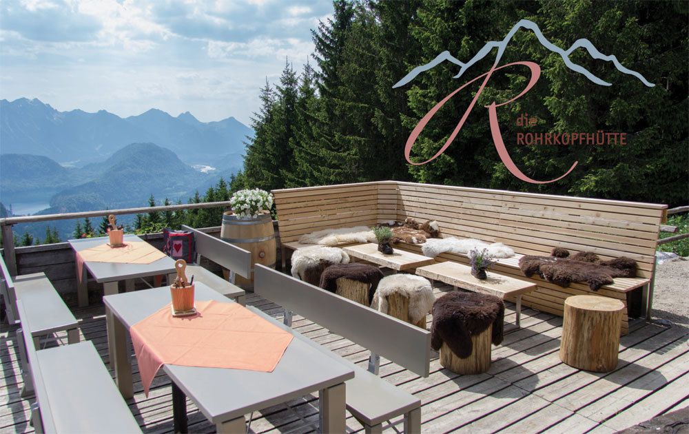
Refreshment stop
Healthy climate
A lot of view
Other tours in the regions
 bzw. Vilsalpsee")