© Unbekannt - SGöbel

© Simone Göbel


© Willanzheim


- Brief description
-
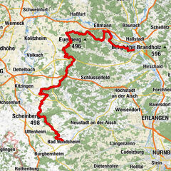
Auf historischen Spuren im Weinparadies Franken
- Difficulty
-
medium
- Rating
-
- Route
-
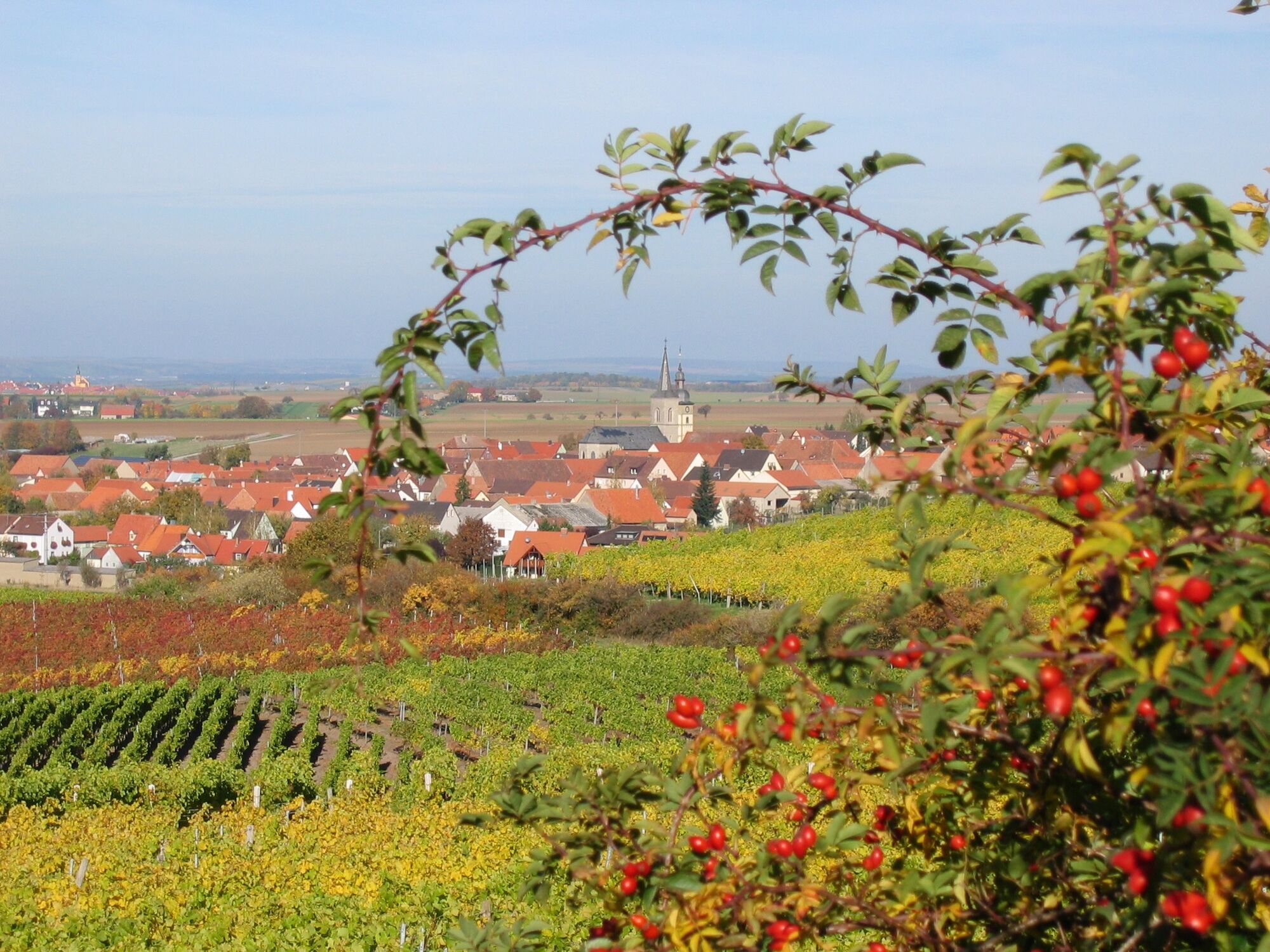
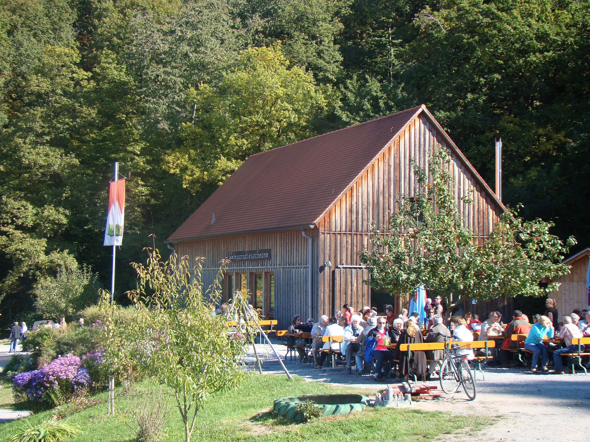
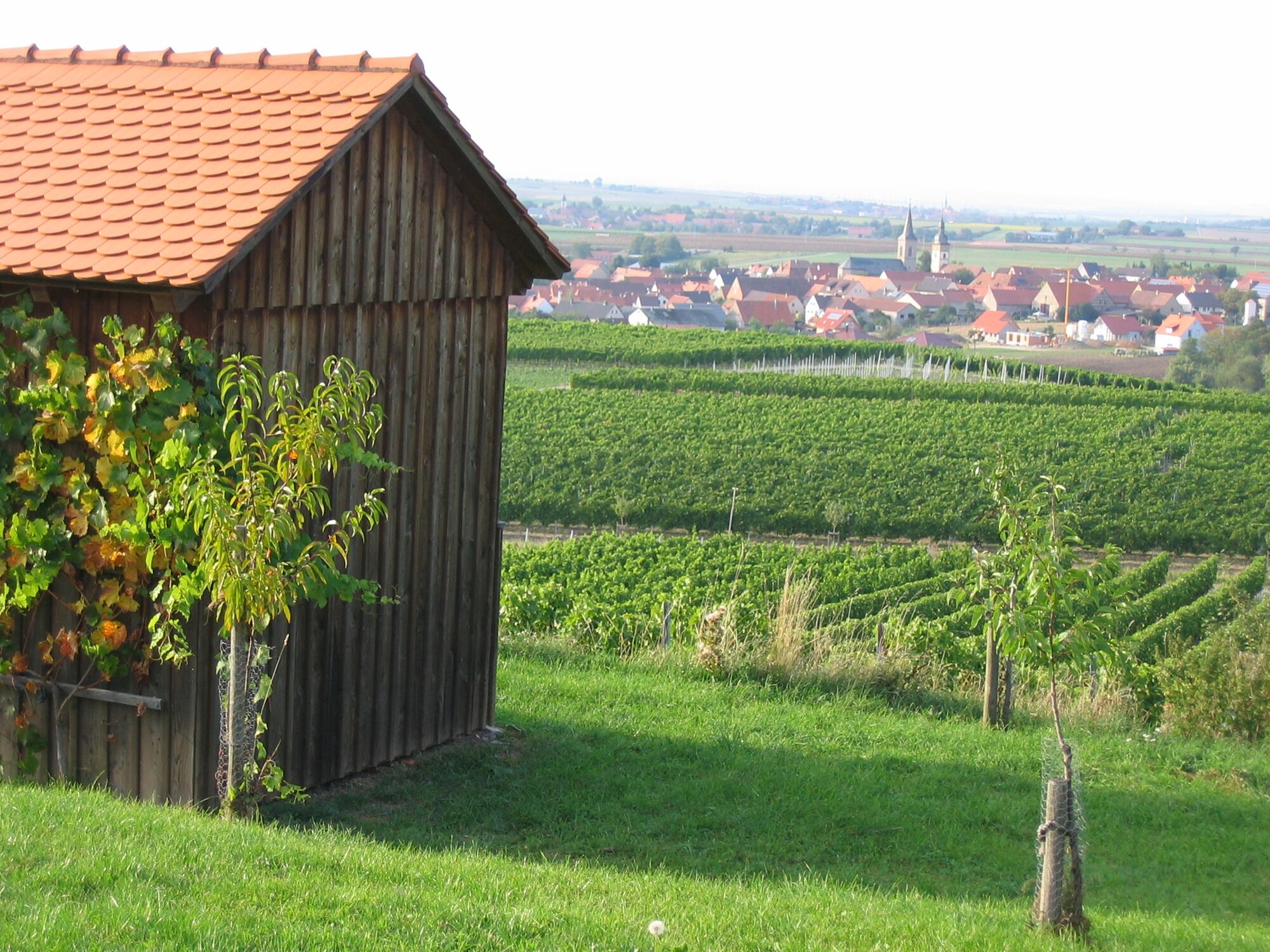
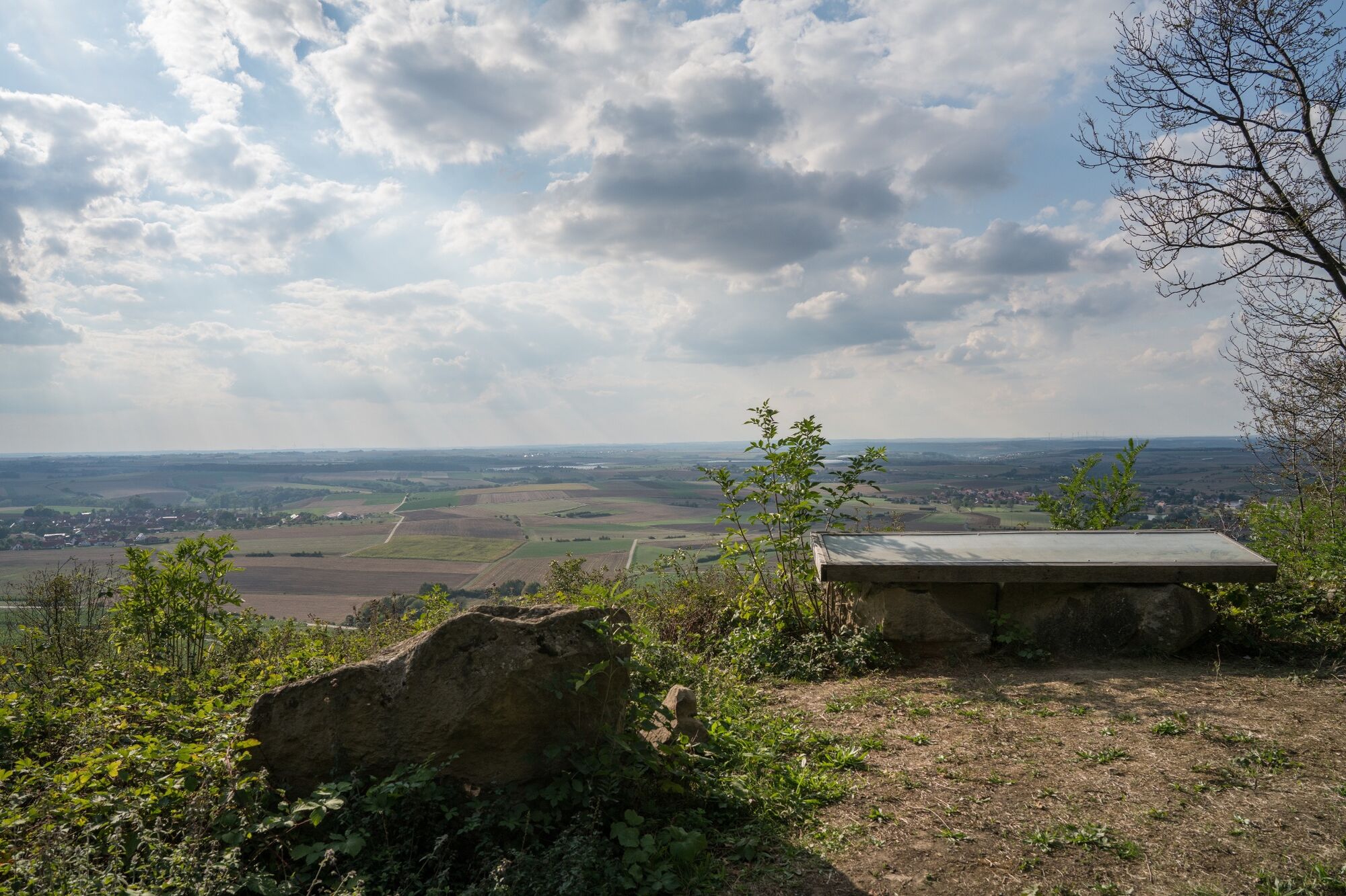
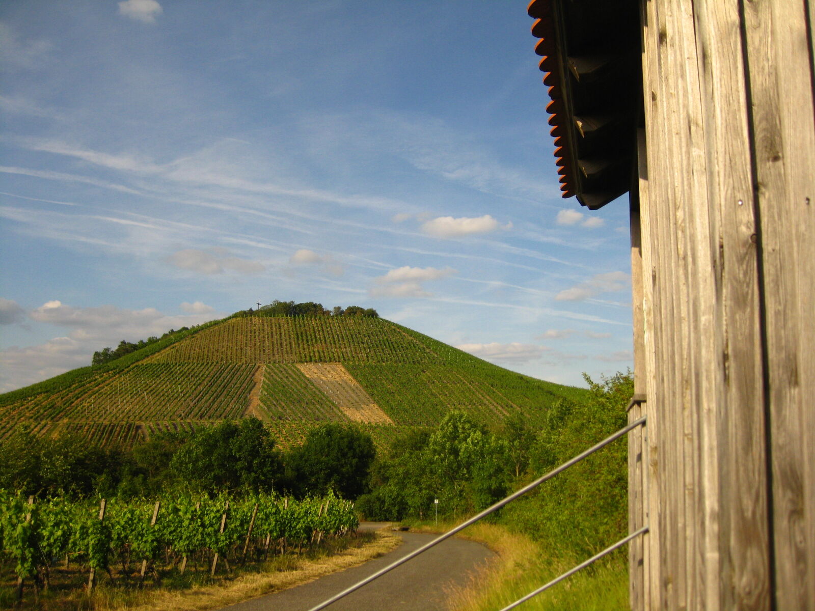
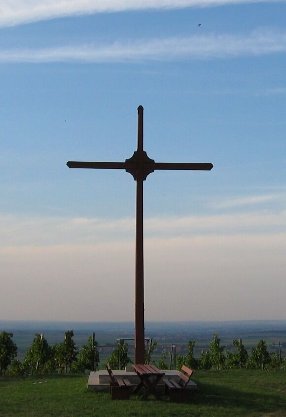
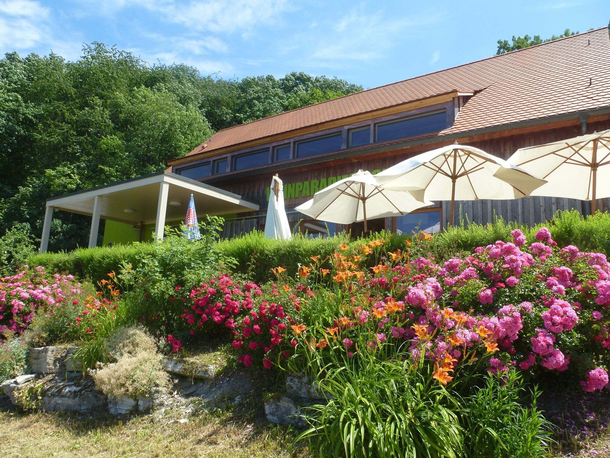
Kapellberg (455 m)3.3 kmBullenheimer Blick4.0 kmWeinparadiesscheune4.5 kmPanoramabild Steinbruch4.9 kmTannenberg (382 m)8.0 km
- Best season
-
JanFebMarAprMayJunJulAugSepOctNovDec
- Highest point
- 442 m
- Height profile
-
 © outdooractive.com


- Author
-
The tour TraumRunde Hüttenheim-Seinsheim is used by outdooractive.com provided.
GPS Downloads


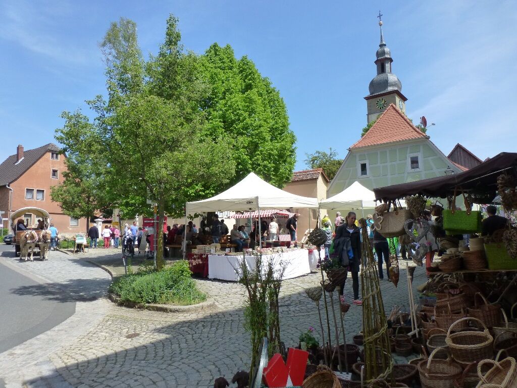
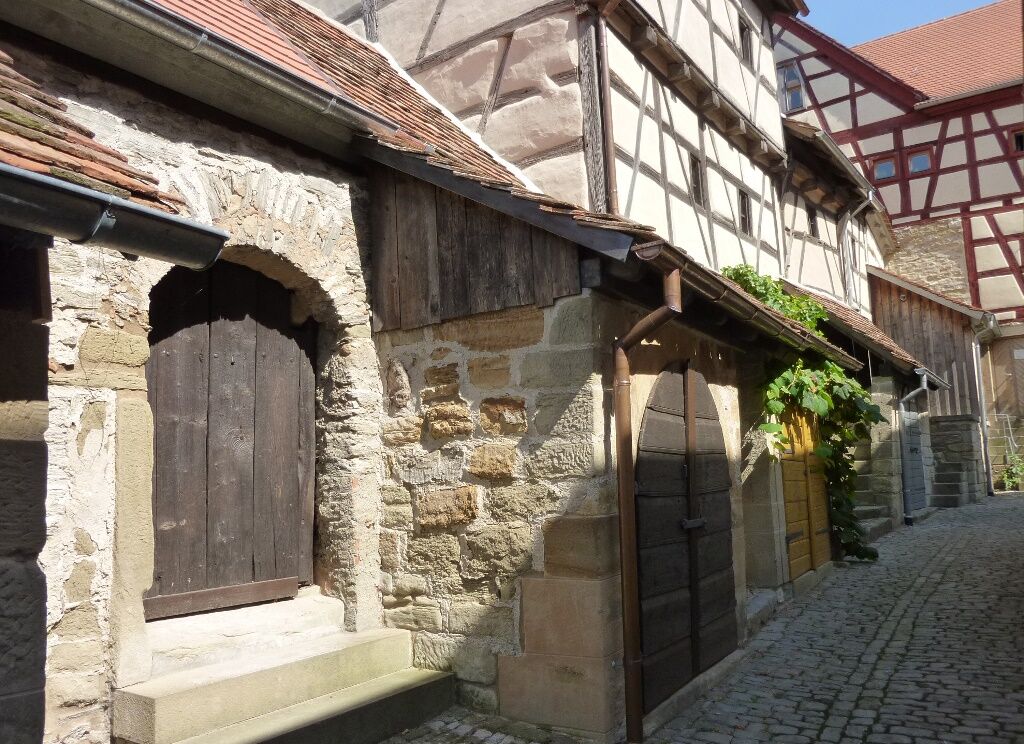
General info
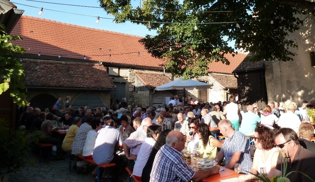
Refreshment stop
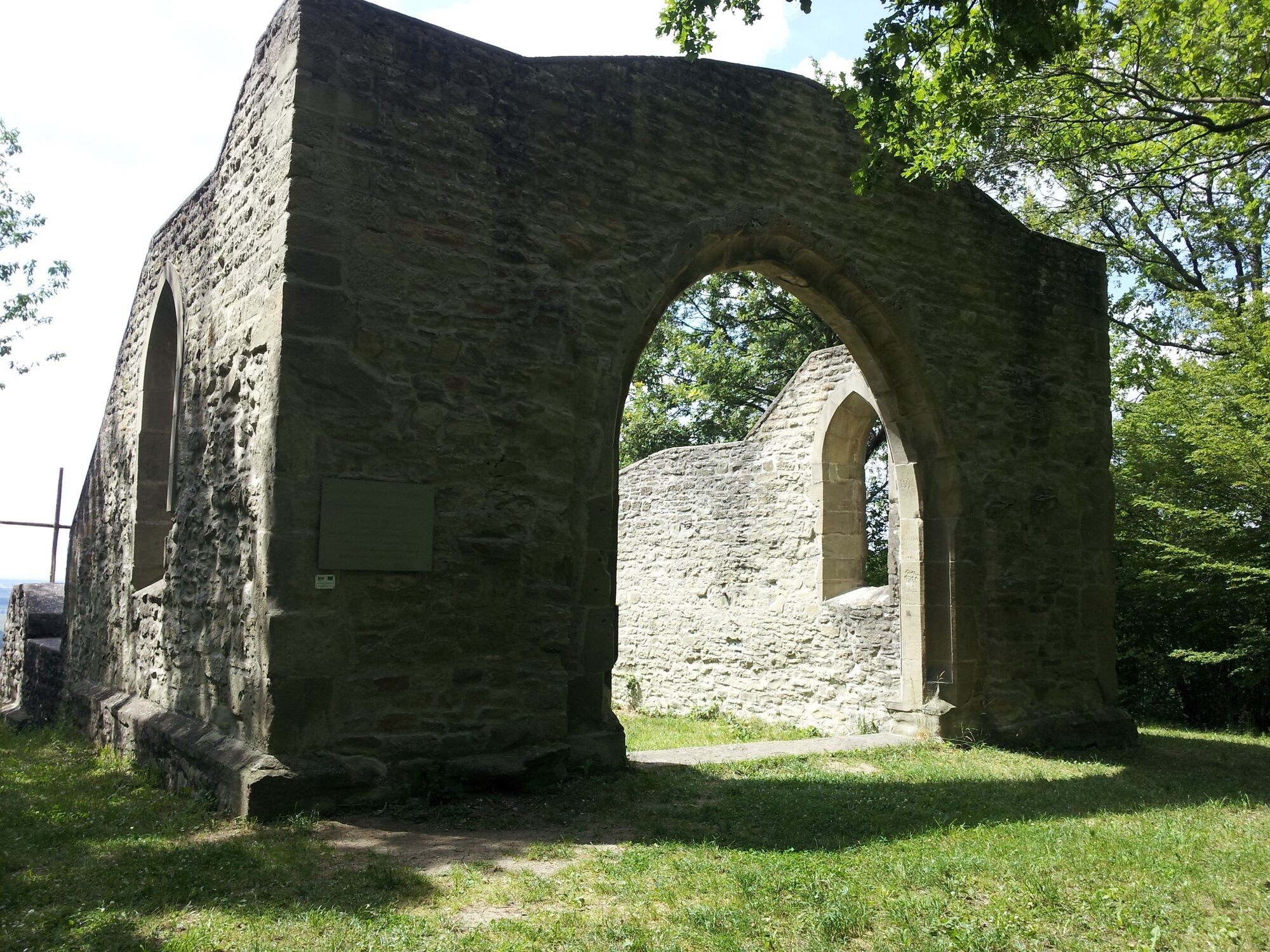
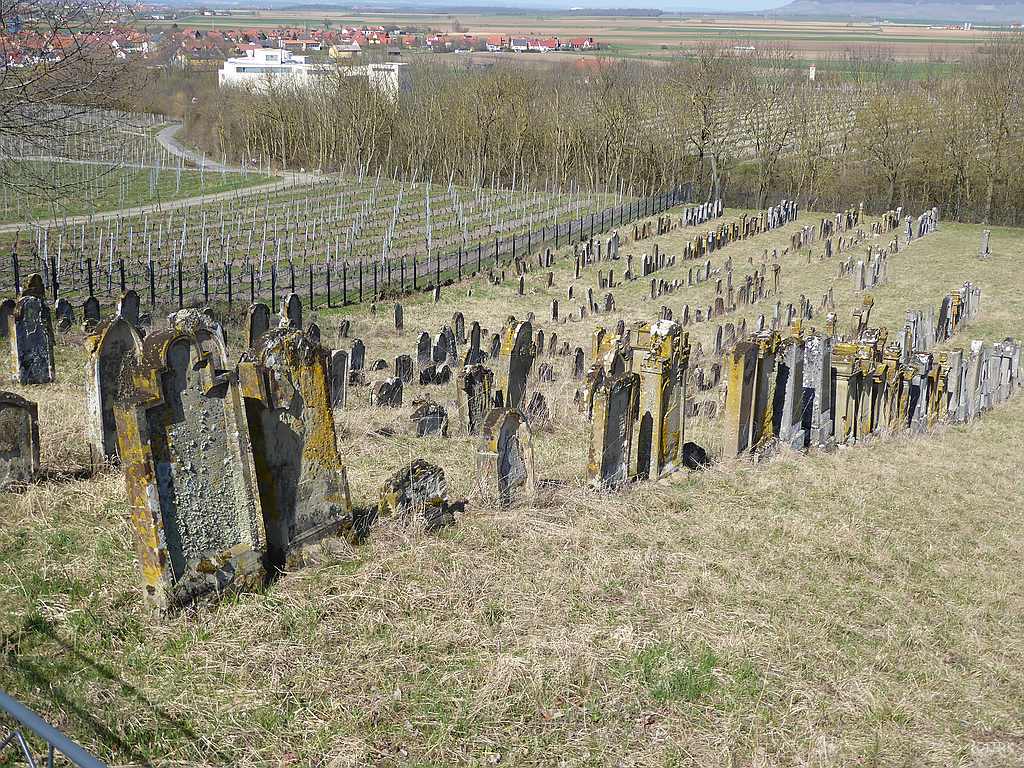
Cultural/Historical
Insider tip
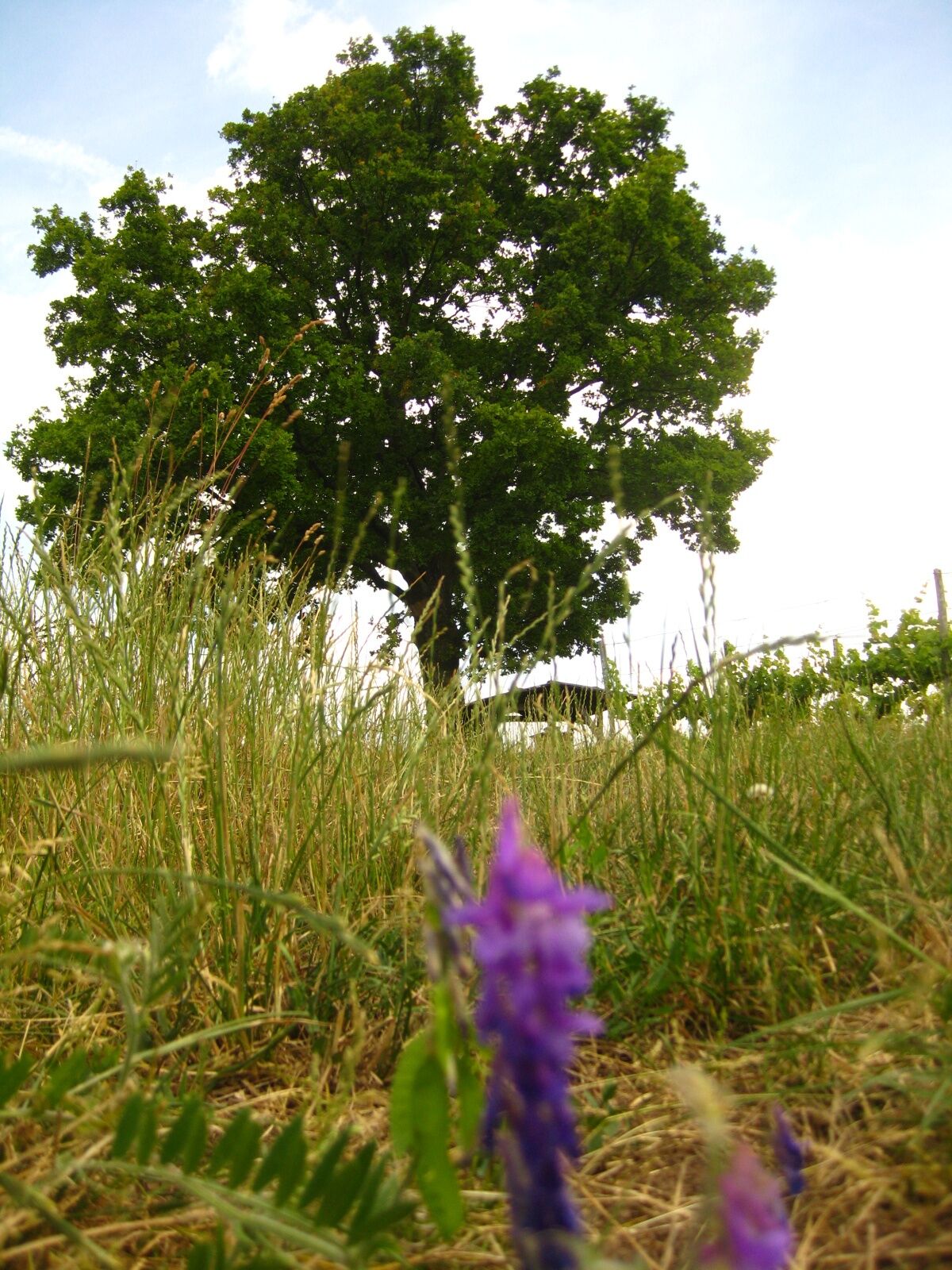
Flora
A lot of view
Other tours in the regions
-
Steigerwald
77
-
Seinsheim
42