© Gästeinformation Benediktbeuern

© Gästeinformation Benediktbeuern
© Gästeinformation Benediktbeuern
© Gästeinformation Benediktbeuern
Tour data
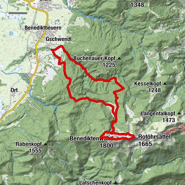
22.95km
655
- 1,777m
1,220hm
1,212hm
08:00h
- Brief description
-
anstrengende Tagestour, Kondition erforderlich, ca. 8 Std.
- Rating
-
- Starting point
-
Alpenwarmbad Benediktbeuern
- Route
-
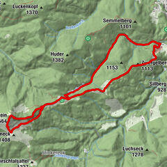
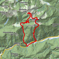
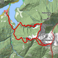
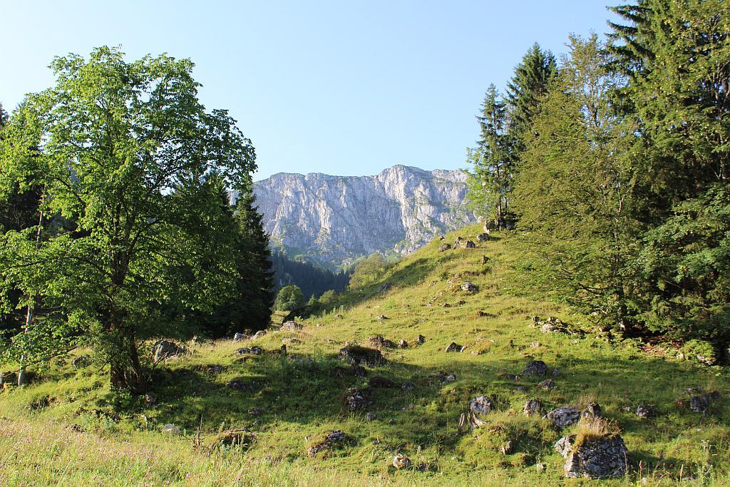
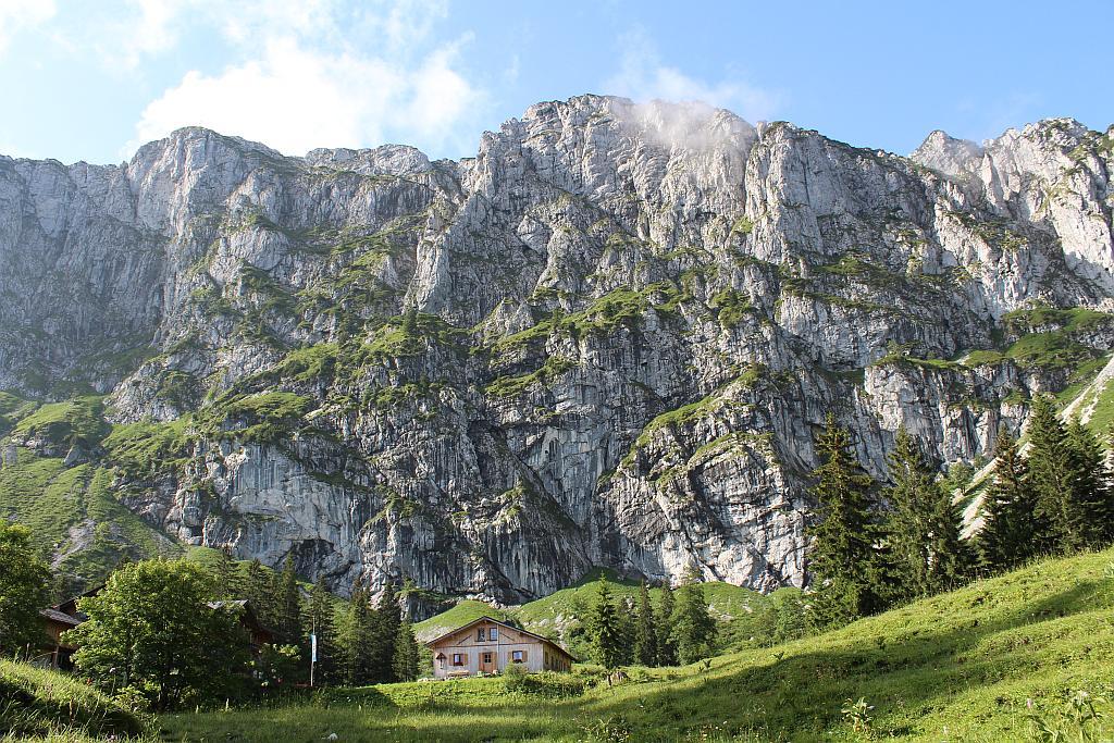
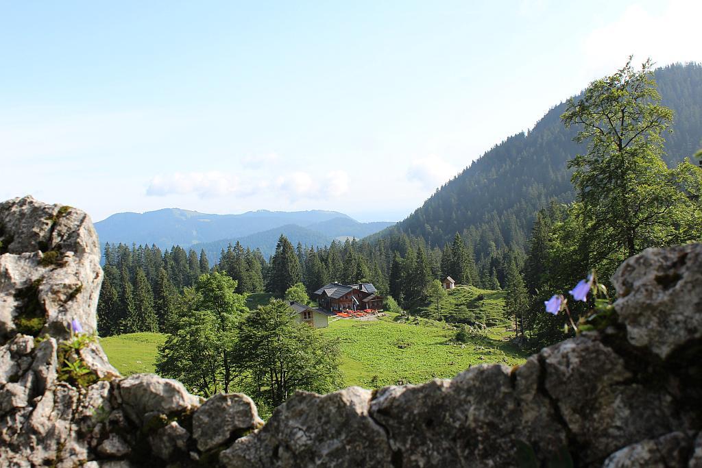
Einkehr zum Alpenwarmbad0.0 kmGschwendt0.1 kmUntereck (985 m)2.7 kmObereck3.0 kmKlause (950 m)4.6 kmLainbachwasserfälle4.6 kmTutzinger Hütte8.2 kmBenediktenwand (1,800 m)10.9 kmTutzinger Hütte13.4 kmAm weiten Grieß (730 m)20.2 kmMaria Brunn22.2 kmGschwendt22.2 kmEinkehr zum Alpenwarmbad22.8 km
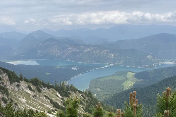
- Highest point
- 1,777 m
- Rest/Retreat
-
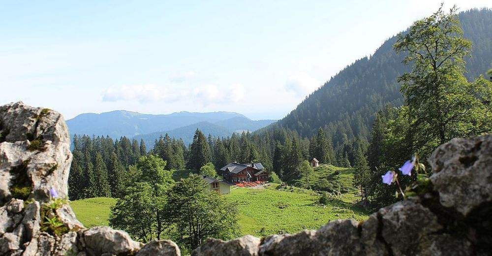
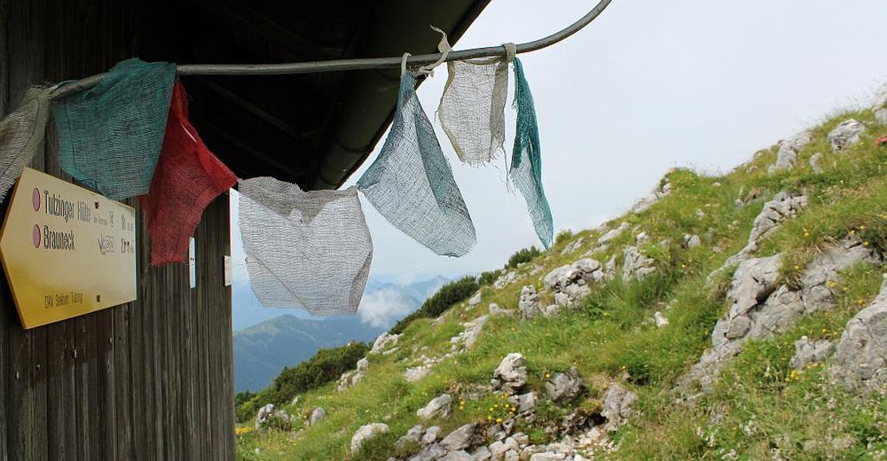
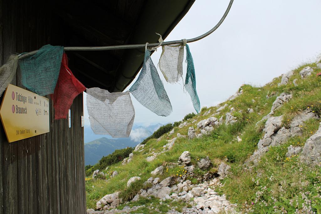
Tutzinger Hütte
GPS Downloads


Trail conditions
Asphalt
Gravel
Meadow
Forest
Rock
Exposed
Other tours in the regions
-
Tölzer Land
855
-
Benediktbeuern
251