© Tourismus Lenggries - Christian Bäck
© Tourismus Lenggries - Christian Bäck
- Brief description
-
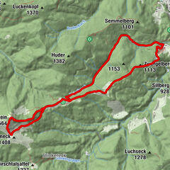
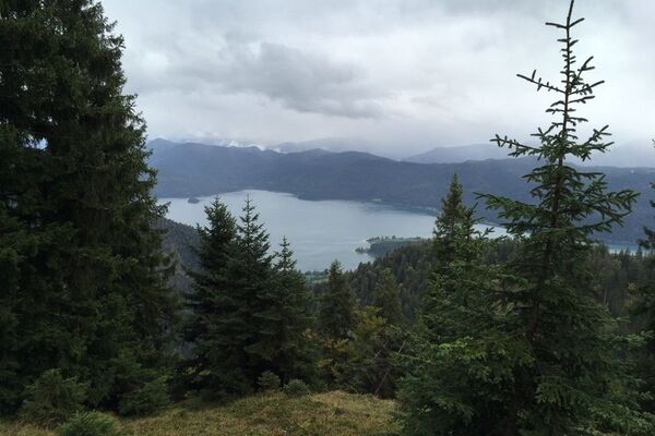
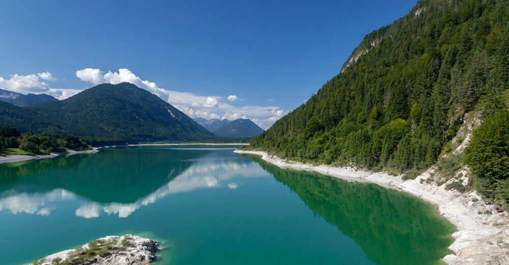
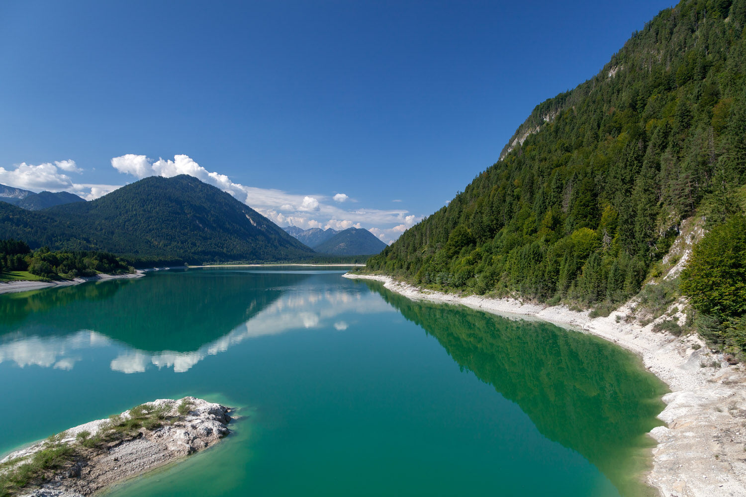
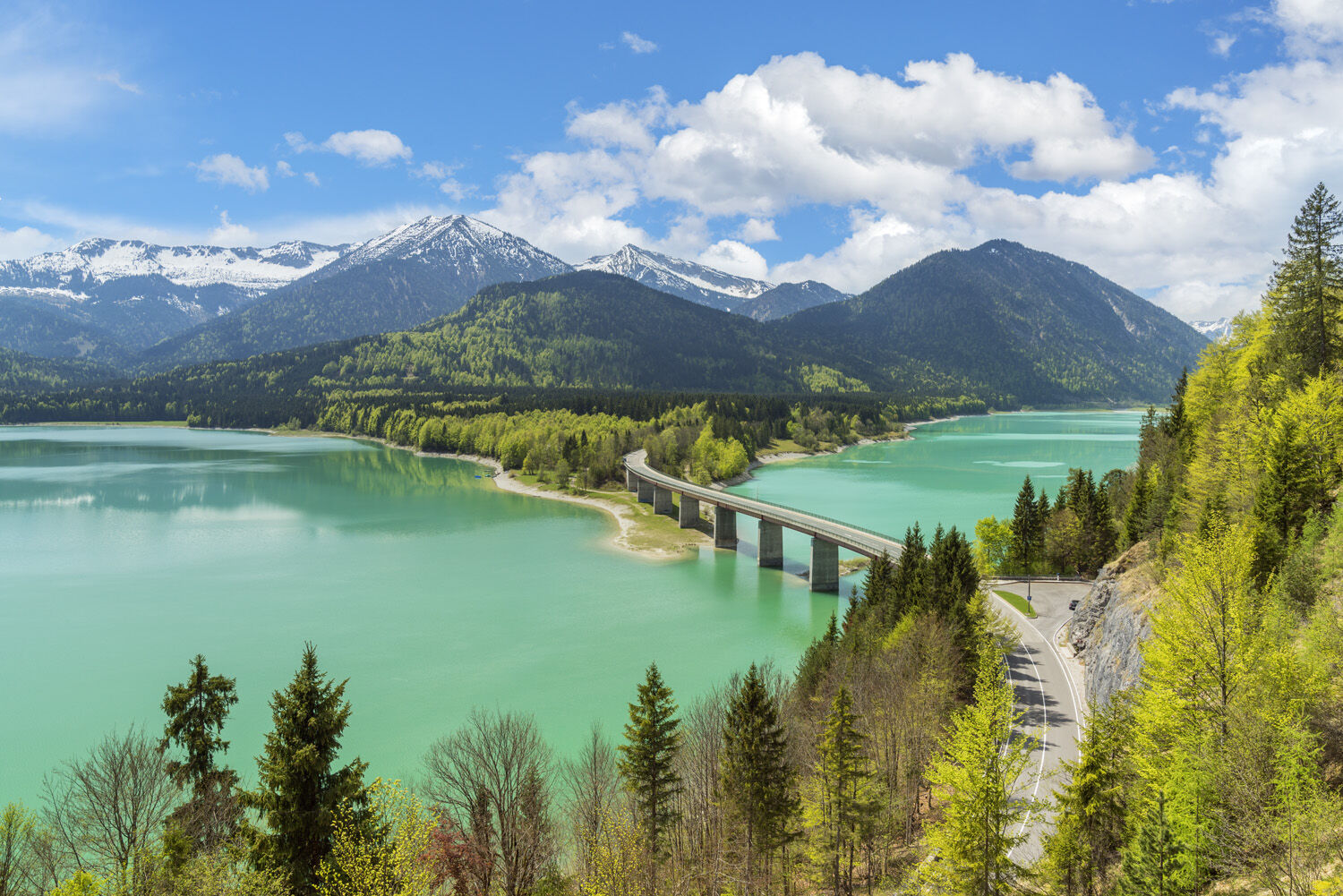
Aussichtsreiche Bergwanderung mit Blick zu den Bergen des Vorkarwendels und zum Sylvensteinsee.
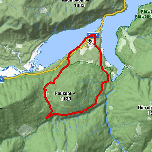
- Route
-
Fall (773 m)0.3 kmFall (773 m)8.6 km
- Best season
-
JanFebMarAprMayJunJulAugSepOctNovDec
- Highest point
- 1,008 m
- Endpoint
-
Wanderparkplatz in Fall
- Height profile
-
 © outdooractive.com
- Author
-
The tour Faller Rundweg is used by outdooractive.com provided.
GPS Downloads


General info
A lot of view
Other tours in the regions
-
Tölzer Land
849
-
Hinterriss
120