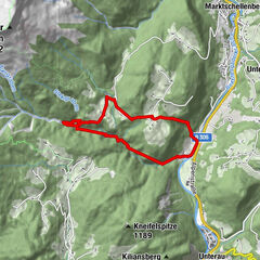
Tour data
6.7km
1,087
- 2,310m
1,303hm
1,303hm
01:40h
- Brief description
-
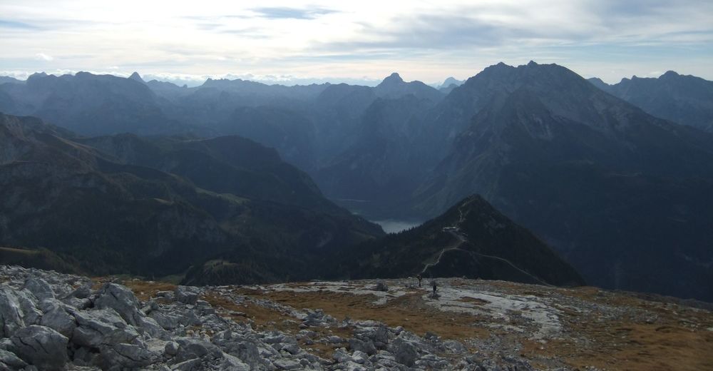
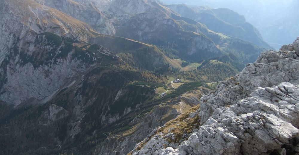
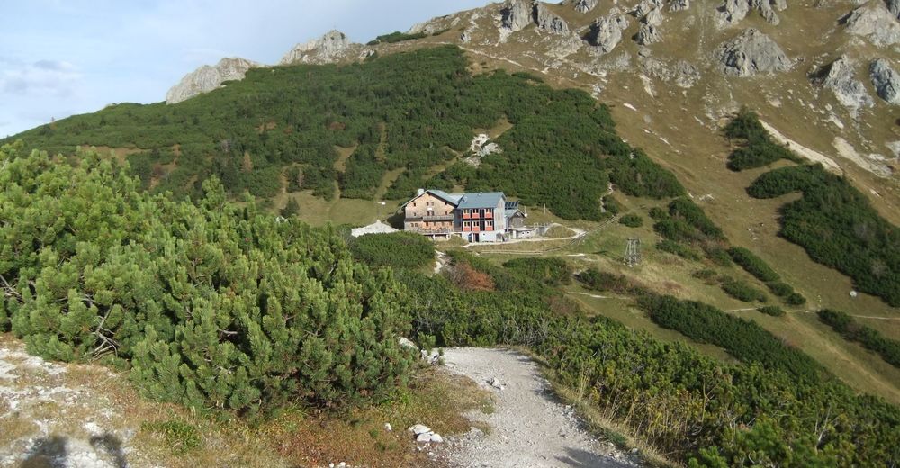
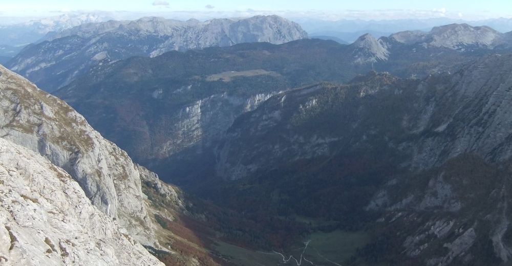
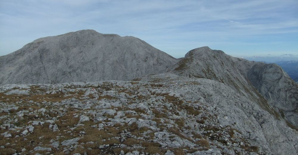
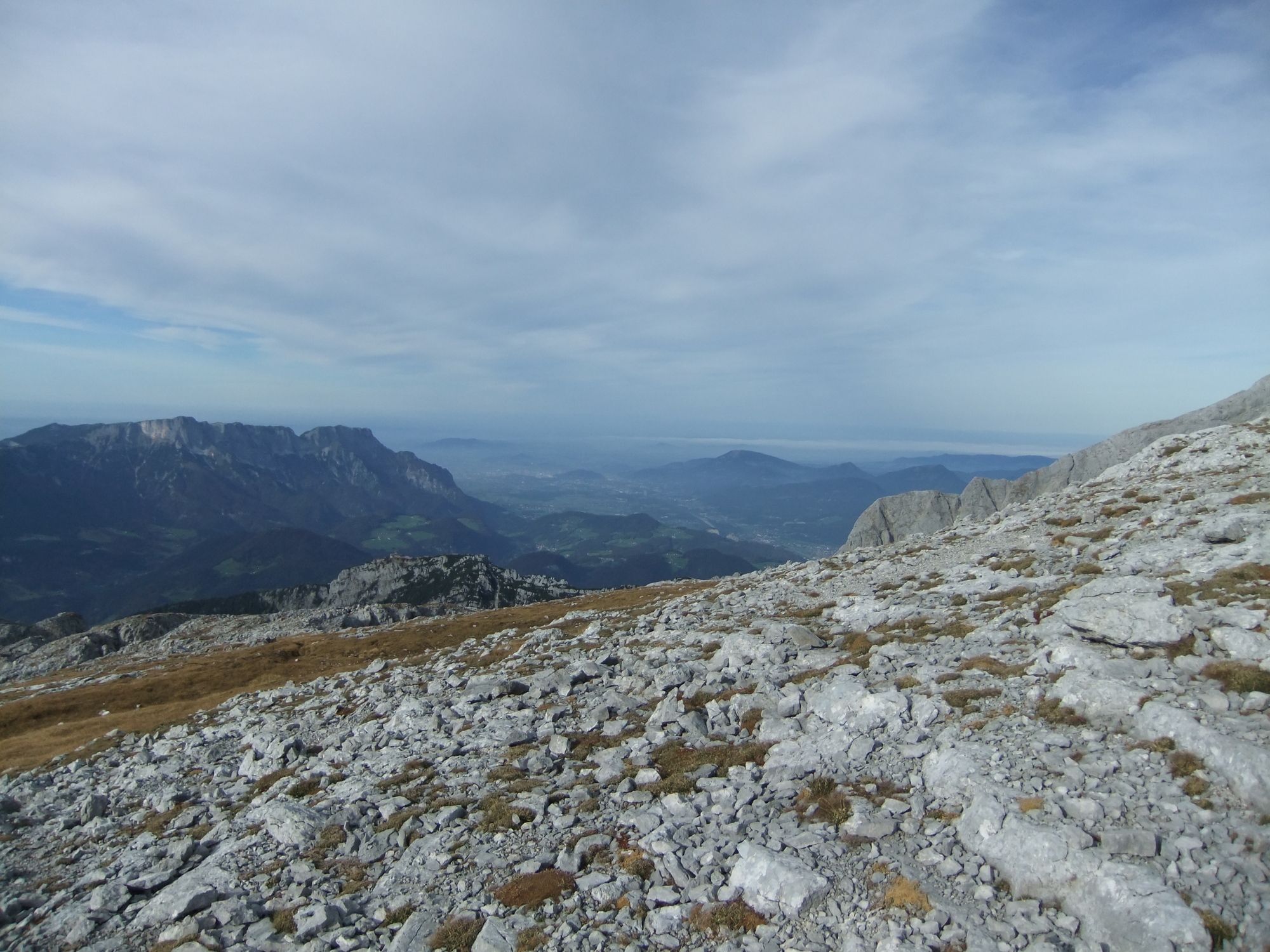
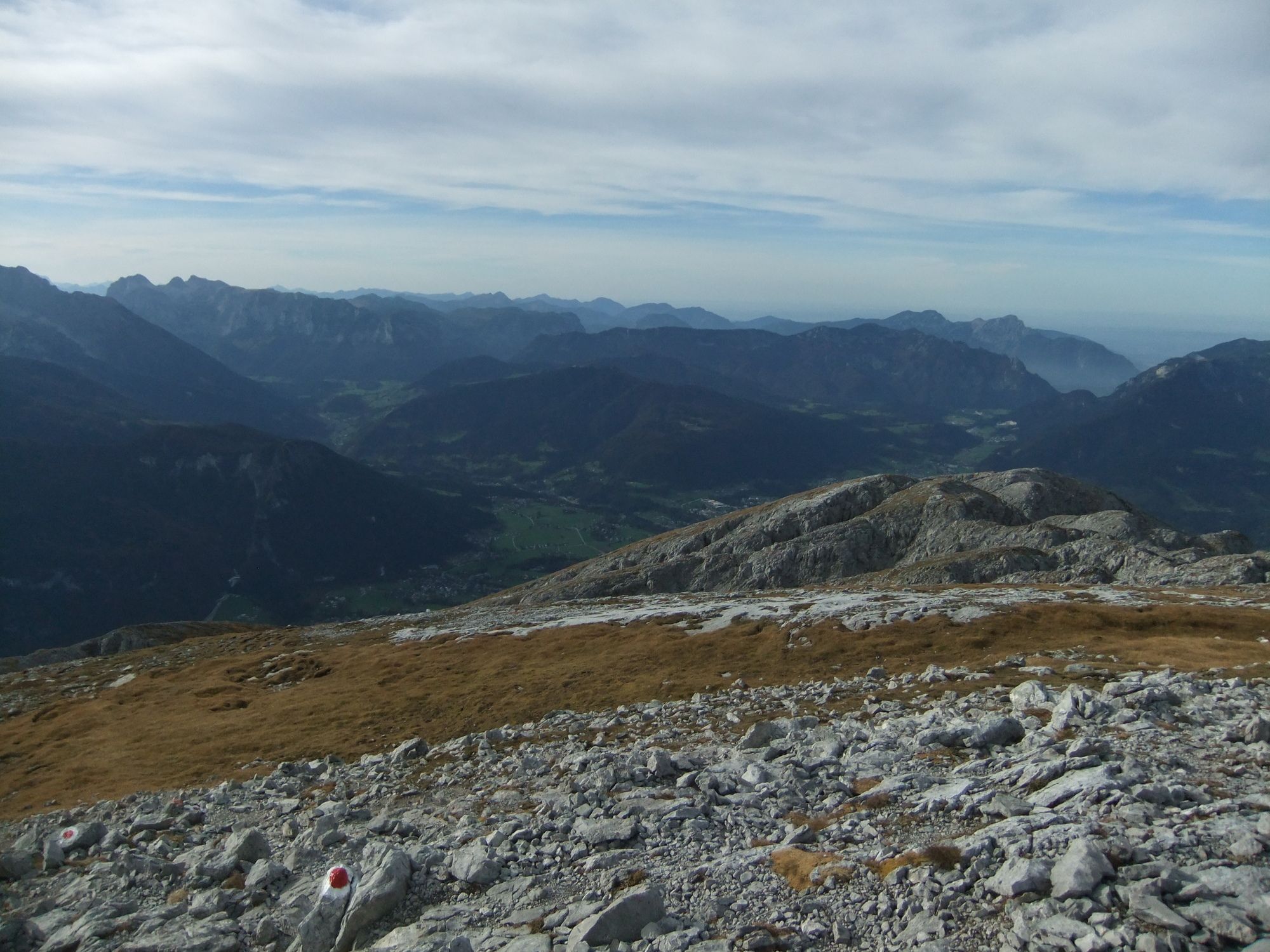
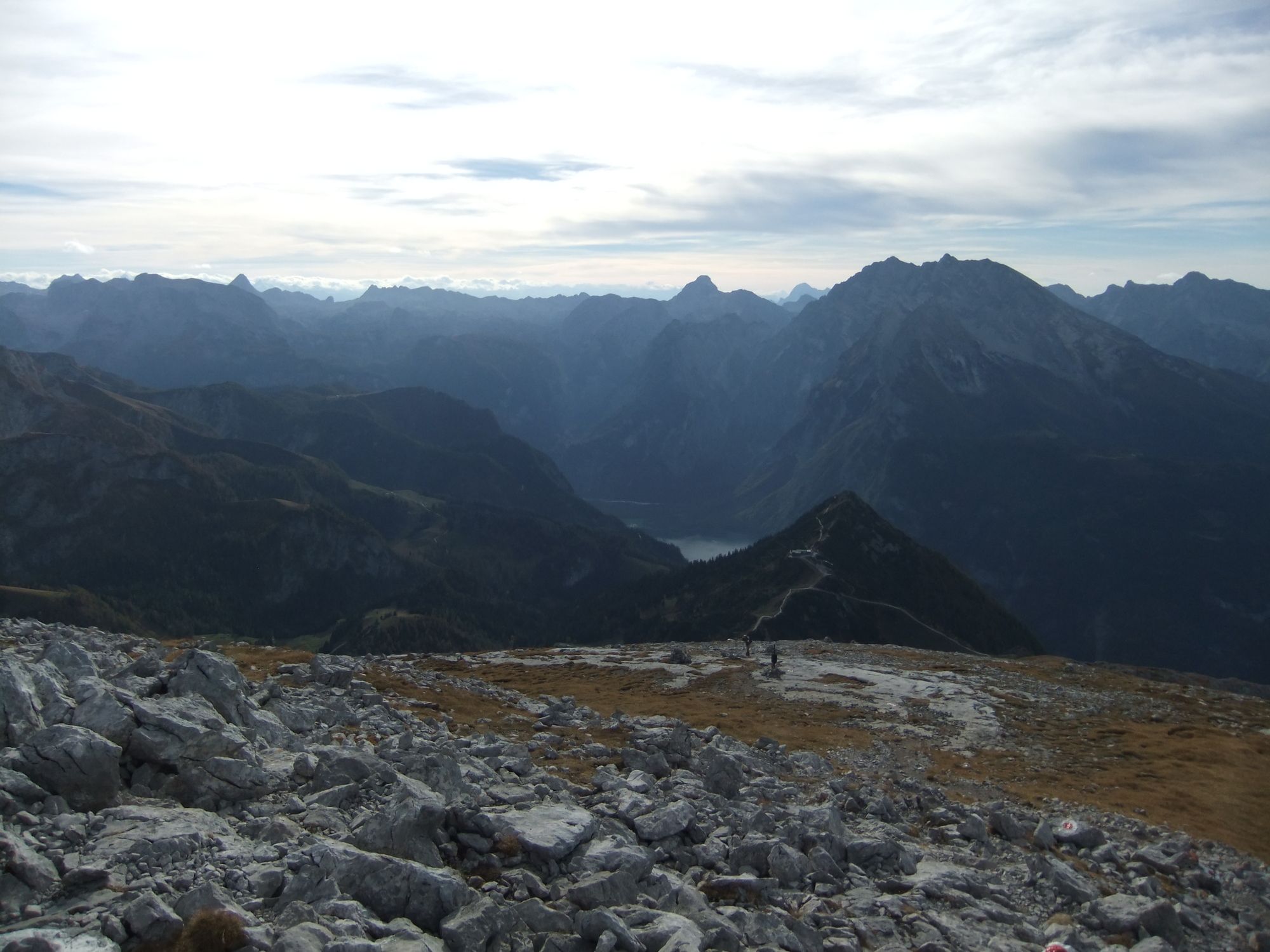
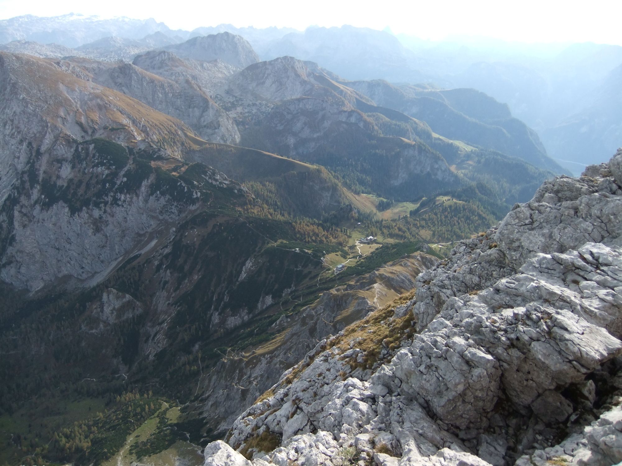
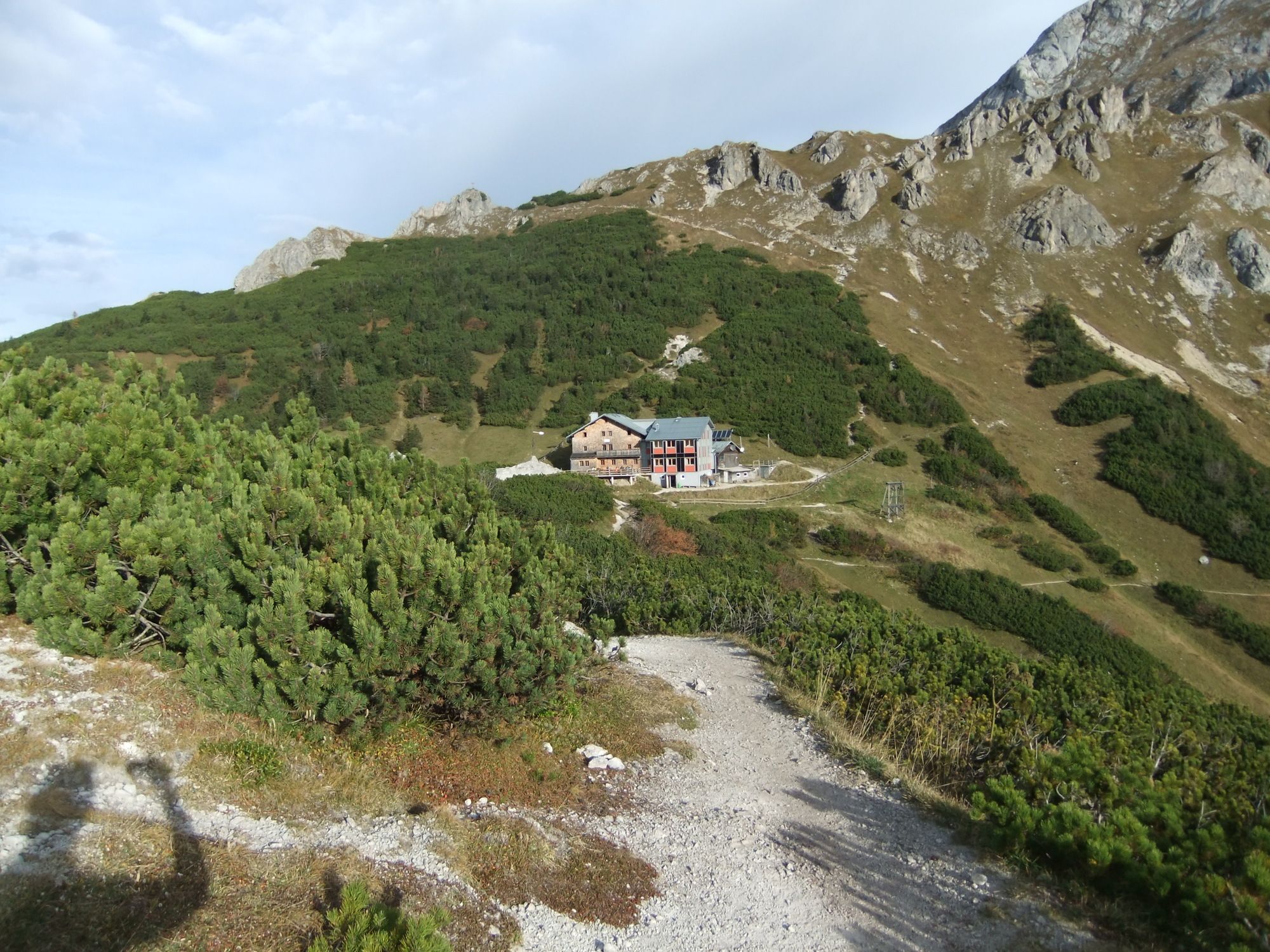
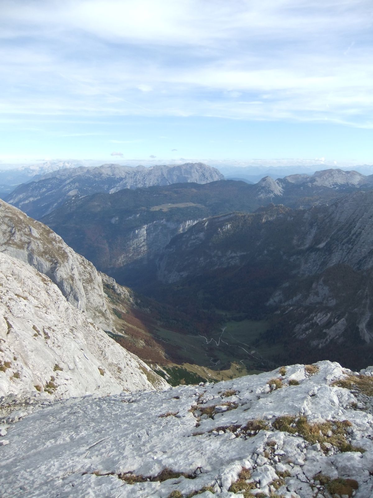
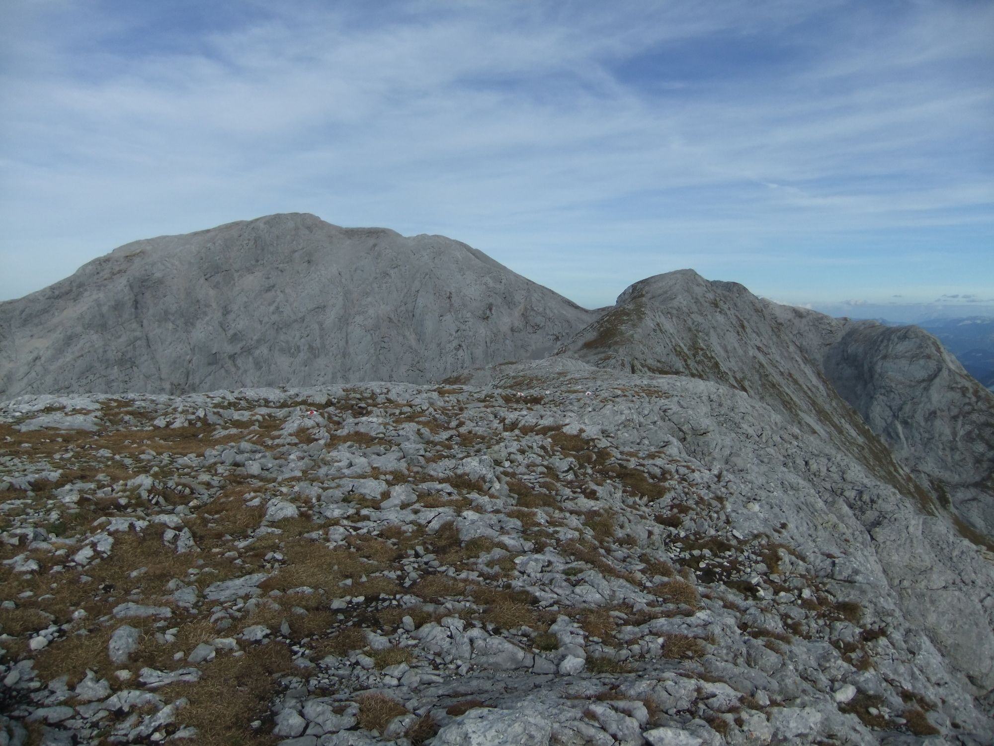
Vom Parkplatz (Bushaltestelle) Hinterbrand zur Stahlhütte und auf das Hohe Brett.
- Difficulty
-
medium
- Rating
-
- Route
-
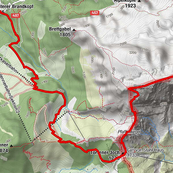
Bergquell0.5 kmKrautkaserlift Bergstation1.8 kmTorrener Joch4.6 kmCarl-von-Stahl-Haus4.6 kmHohes Brett (2,340 m)6.4 km
- Best season
-
JanFebMarAprMayJunJulAugSepOctNovDec
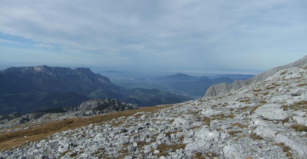
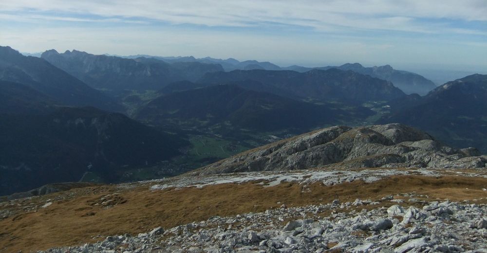
- Highest point
- 2,310 m
GPS Downloads


Trail conditions
Asphalt
Gravel
(70%)
Meadow
(20%)
Forest
Rock
(10%)
Exposed
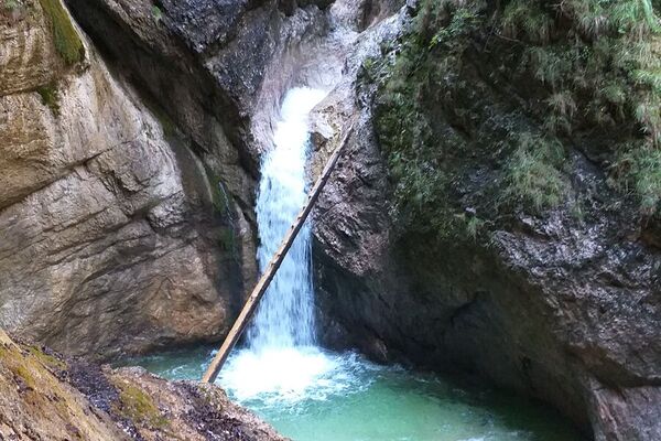
(kleine Stü)
Other tours in the regions
-
Berchtesgadener Land
1605
-
Schönau am Königssee
475