Oberstdorf, Moorweiher, Golfplatz, Kühberg, Runde

Logo Oberstdorf, Moorweiher, Golfplatz, Kühberg, Runde
Tour data
8.66km
815 - 915m
Distance
180hm
184hm
Ascent
02:13h
 
Duration
Brief description

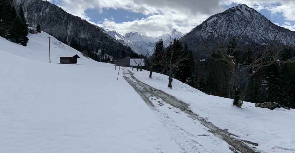
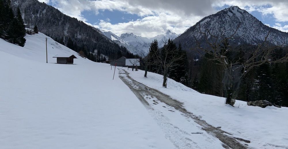
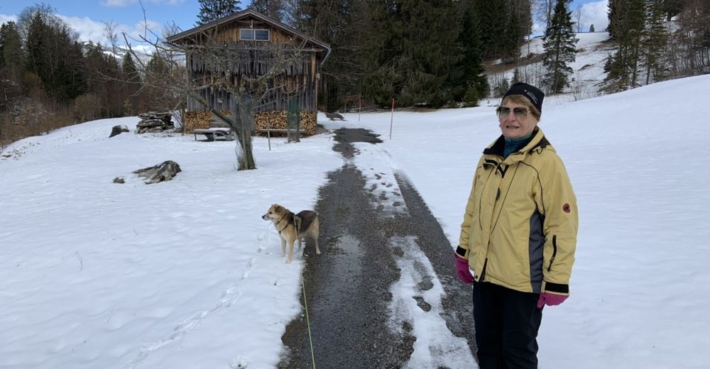
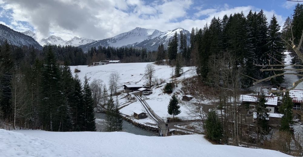
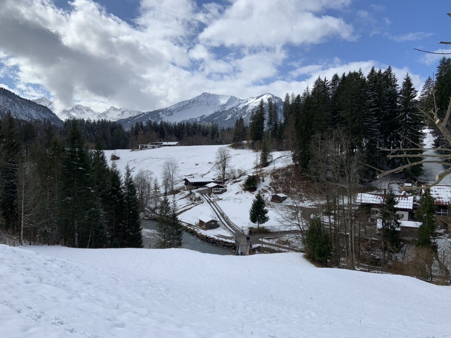
Kleine Wanderung zum Golfplatz

Difficulty
easy
Rating
Technique
Fitness
Landscape
Experience
Route
Oberstdorf (813 m)
Kapelle Maria Loretto
1.3 km
Appachkapelle
1.4 km
Josefskapelle
1.4 km
Dienersberg
2.0 km
Brotzeitstüble Haseltopf
4.2 km
Gruben
5.7 km
Oberstdorf (813 m)
8.6 km

Highest point
915 m

Overall rating

5

0

%

4

0

%

3

0

%

2

0

%

1

0

%

Error
An error has occurred. Please try again.
Thank you for your review

Rating has been deleted

GPS Downloads
  • GPX GPS Exchange Format (XML)
  • KML Google Earth, Google Maps
QR Download Codes for Mobile Phones
Other tours in the regions

Popular tours in the area

Braunarlspitze

difficult Hiking
16.57km | 1430hm | 08:00h

Gerstruben - zum historischen Bergbauerndorf

medium Hiking
12.84km | 277hm | 06:00h

Elmen-Stablalm

medium Hiking
4.77km | 367hm | 01:30h