© Tourist-Info Bischofswiesen
© Tourist-Info Bischofswiesen
© Tourist-Info Bischofswiesen - Manfred Kern
Tour data
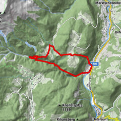
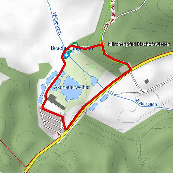
1.01km
650
- 662m
8hm
3hm
01:30h
- Brief description
-
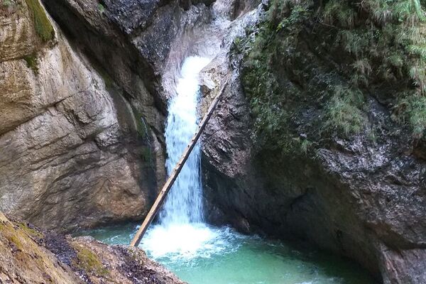
Rundweg ohne Steigung, ca. 1,8 km.
- Difficulty
-
easy
- Rating
-
- Starting point
-
Parkplatz Naturbad Aschauerweiher
- Best season
-
JanFebMarAprMayJunJulAugSepOctNovDec
- Highest point
- 662 m
- Rest/Retreat
-
Aschauerwirt
GPS Downloads


Trail conditions
Asphalt
Gravel
Meadow
Forest
Rock
Exposed
Other tours in the regions
-
Berchtesgadener Land
1607
-
Berchtesgaden
623