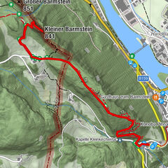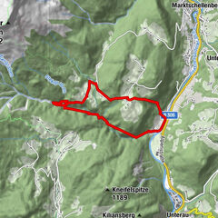
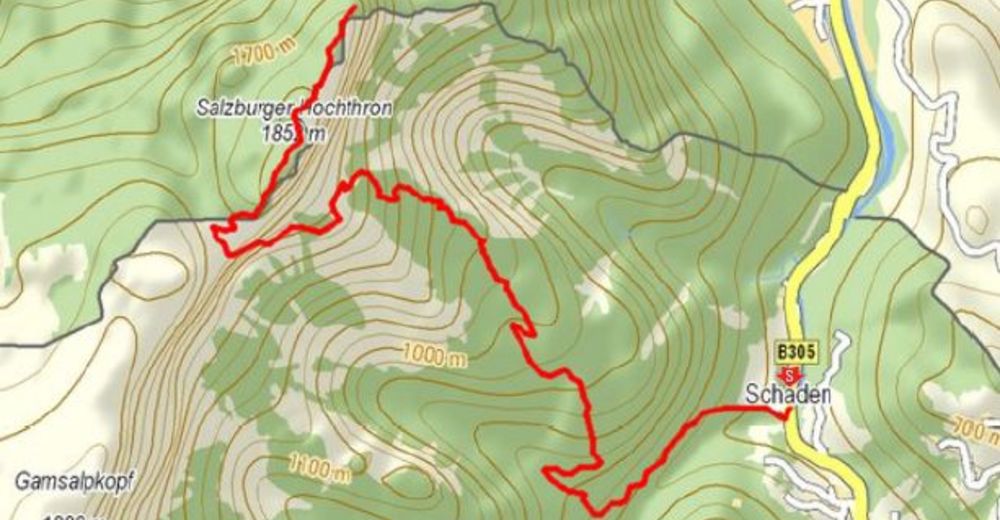
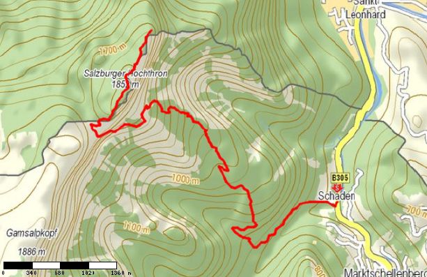
Tour data
7.89km
352
- 1,840m
1,488hm
06:00h

- Rating
-
- Starting point
-
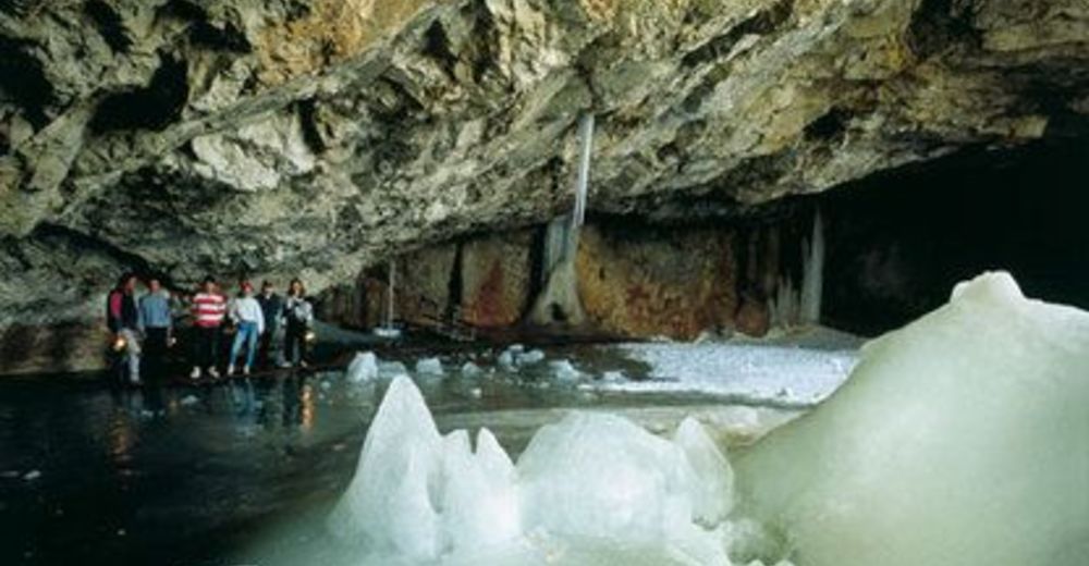
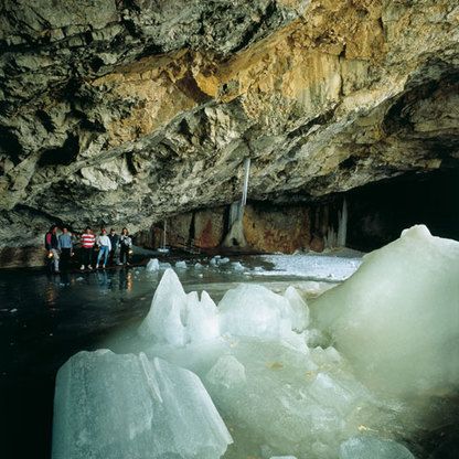
Parkplatz Schellenberger Eishöhle
- Route
-
Denkmal4.3 kmToni-Lenz-Hütte5.0 kmMittagsscharte (1,670 m)6.1 kmGroßer Heubergkopf (1,820 m)6.7 kmSalzburger Hochthron (1,853 m)7.1 kmHochalm7.7 kmGeiereck (1,805 m)7.8 kmRestaurant Seilbahnstation7.8 km
- Highest point
- 1,840 m
GPS Downloads


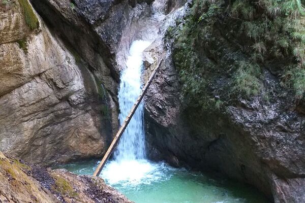
Trail conditions
Asphalt
(10%)
Gravel
(70%)
Meadow
Forest
(10%)
Rock
(10%)
Exposed
Other tours in the regions
-
Berchtesgadener Land
1606
-
Marktschellenberg
602