© Sepp Wurm

© Sepp Wurm

© Sepp Wurm

© Sepp Wurm

© Sepp Wurm

© Sepp Wurm

© Sepp Wurm

© Sepp Wurm

© Tourenportal Berchtesgadener Land - Sebastian Gabriel

© Berchtesgaden
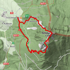
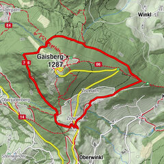
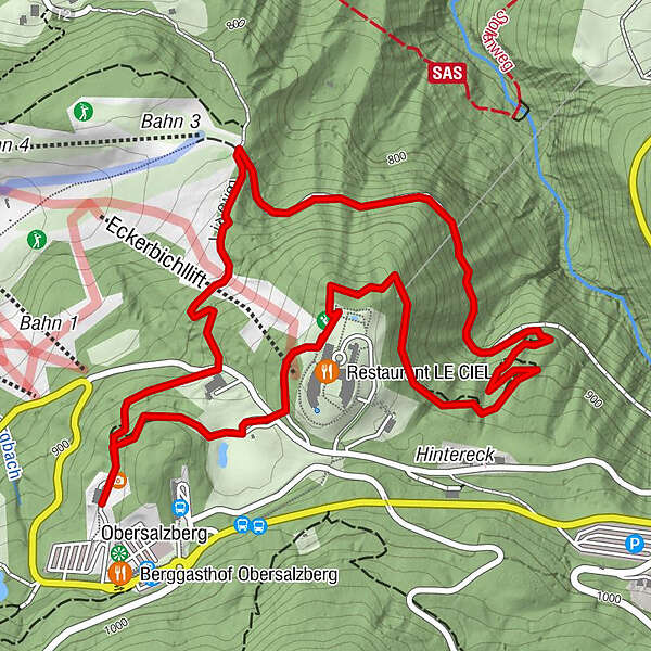
Tour data
3.81km
836
- 950m
111hm
124hm
01:30h
- Brief description
-
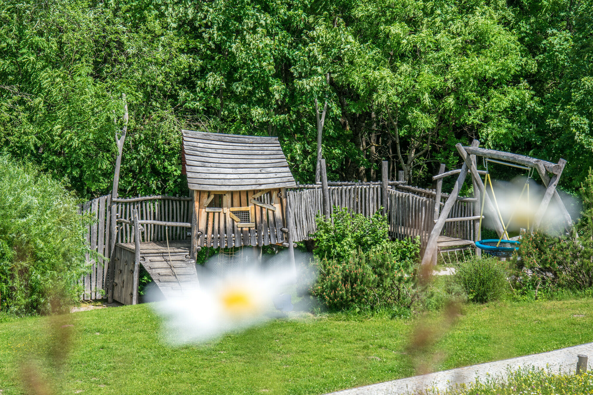
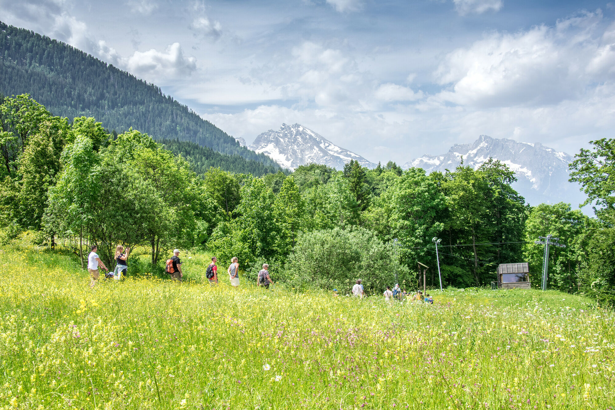
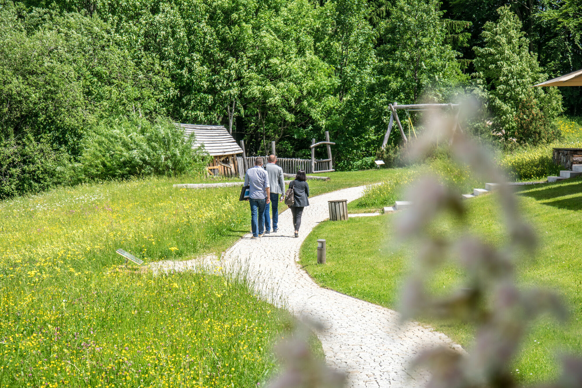
Gemütlicher Rundweg am Obersalzberg
- Difficulty
-
easy
- Rating
-
- Route
-
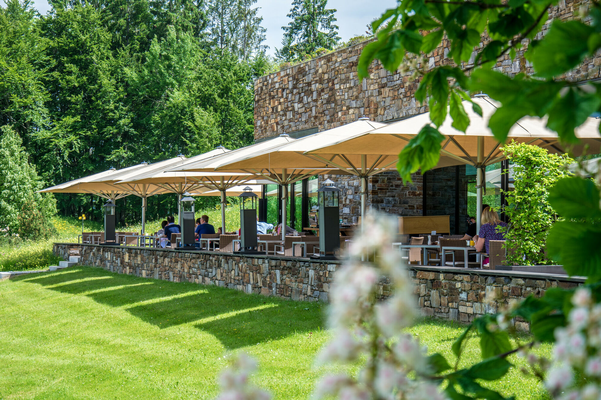
Restaurant Johann Grill3.8 km
- Best season
-
JanFebMarAprMayJunJulAugSepOctNovDec
- Highest point
- 950 m
- Endpoint
-
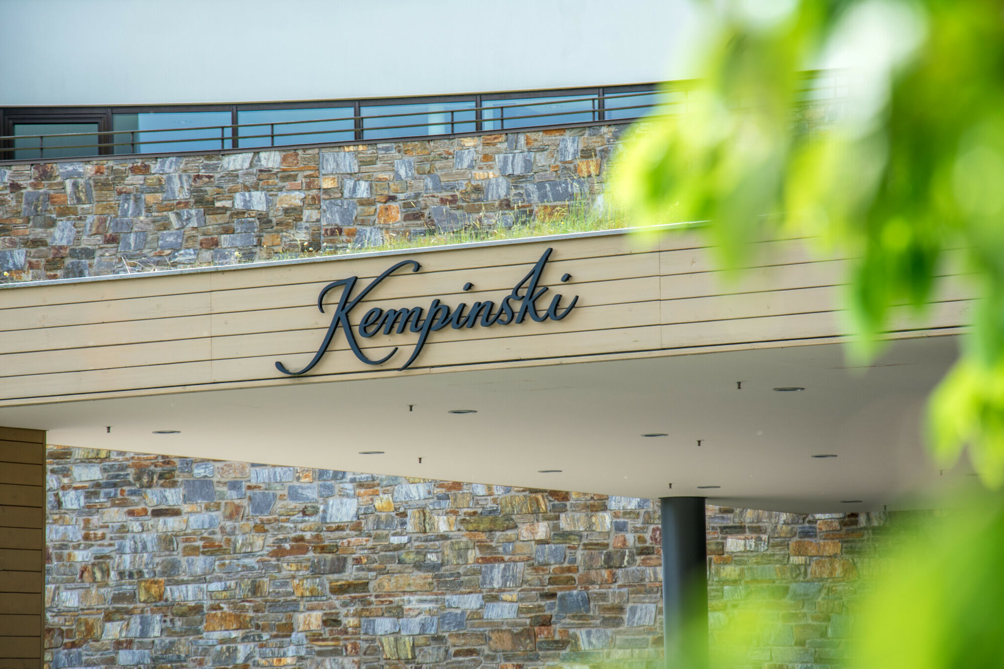
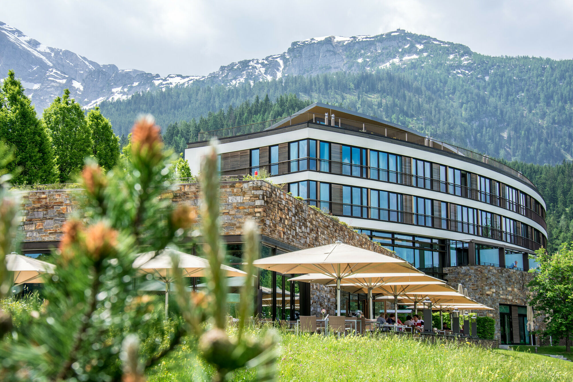
Dokumentation Obersalzberg oder Kempinski Hotel
- Height profile
-
 © outdooractive.com

-

-
AuthorThe tour Kempinski Rundweg is used by outdooractive.com provided.
GPS Downloads


General info
Refreshment stop
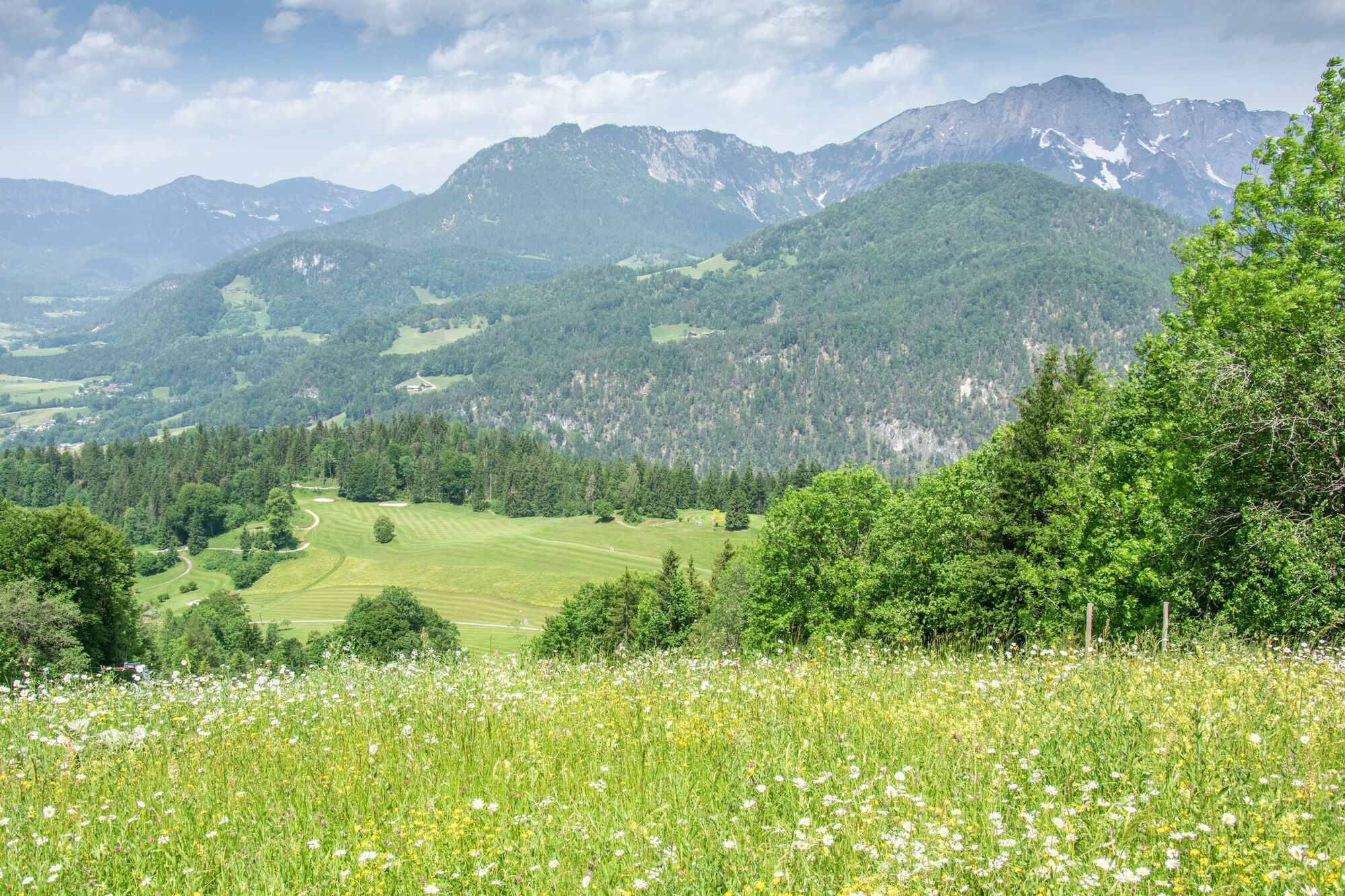
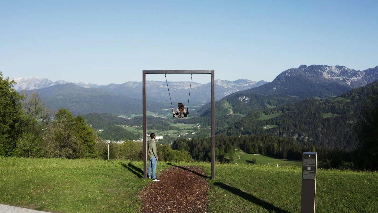
A lot of view
Other tours in the regions
-
Tennengau - Dachstein West
1998
-
Berchtesgaden
624