
- Route
-
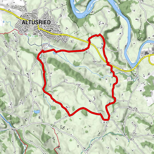
AltusriedVölken0.7 kmFrühstetten1.8 kmWolfen4.2 kmReicharten4.7 kmLamineten5.6 kmZur fröhlichen Aussicht6.6 kmBergs7.2 kmLuiblings7.9 kmHalden8.6 kmGansmühle9.5 kmRosinante10.0 kmAltusried10.1 km
- Highest point
- 750 m
- Height profile
-
 © outdooractive.com
- Author
-
The tour Altusrieder Rundwanderweg is used by outdooractive.com provided.
GPS Downloads


Other tours in the regions
-
Allgäu
2357
-
Oberallgäu
1584
-
Altusried
145