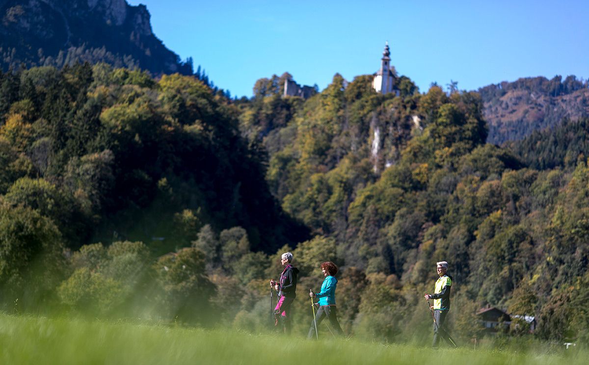
© Tourenportal Berchtesgadener Land - Bergerlebnis Berchtesgaden

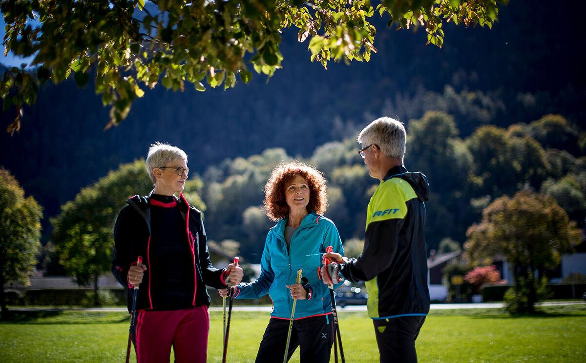
© Tourenportal Berchtesgadener Land - Bergerlebnis Berchtesgaden

© Tourenportal Berchtesgadener Land - Bergerlebnis Berchtesgaden
Tour data
7.31km
463
- 653m
175hm
173hm
02:30h

- Brief description
- Difficulty
-
easy
- Rating
-
- Route
-
Bad Reichenhall (473 m)0.2 kmCafè Restaurant Neu Meran4.6 kmNonn5.4 kmBad Reichenhall (473 m)5.7 km
- Best season
-
JanFebMarAprMayJunJulAugSepOctNovDec
- Highest point
- 653 m
- Endpoint
-
Karlstein, Bad Reichenhall
- Height profile
-
 © outdooractive.com
- Author
-
The tour Listsee-Gesundheitsweg is used by outdooractive.com provided.
GPS Downloads


General info
Refreshment stop
A lot of view
Other tours in the regions
-
Berchtesgadener Land
1607
-
Bad Reichenhall
543