© Tourist Information Schwangau - Stephanie Müller

© Tourist Information Schwangau - Jana Lebetz

© Tourist Information Schwangau - Jana Lebetz

© Tourist Information Schwangau - Hannes Bruckdorfer

© Tourist Information Schwangau - Stephanie Müller

© Tourist Information Schwangau - Hannes Bruckdorfer

© Tourist Information Schwangau - Hannes Bruckdorfer

© Tourist Information Schwangau - Hannes Bruckdorfer

© Tourist Information Schwangau - Hannes Bruckdorfer

© Tourist Information Schwangau - Hannes Bruckdorfer

- Brief description
-
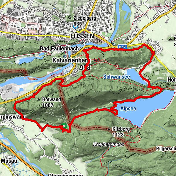
Parkplatz Schwansee – Kalkofen – Kalvarienberg – Bergwaldpfad Walderlebniszentrum – Kratzer – Pinswang – Erzgruben – Alpsee – Schwansee – Parkplatz Schwansee
- Difficulty
-
medium
- Rating
-
- Route
-
Alterschrofen0.5 kmKalksteinhöhle1.9 kmAltstadt Panorama2.5 kmFüssen (808 m)2.6 kmStation 12.7 kmStation 22.8 kmStation 33.0 kmMarienkapelle3.0 kmStation 43.0 kmStation 63.1 kmStation 53.1 kmUnterpinswang7.0 km
- Best season
-
JanFebMarAprMayJunJulAugSepOctNovDec
- Highest point
- 908 m
- Endpoint
-
Parkplatz Schwanseepark
- Height profile
-
 © outdooractive.com


- Author
-
The tour GEOgrenzGÄNGER is used by outdooractive.com provided.
GPS Downloads


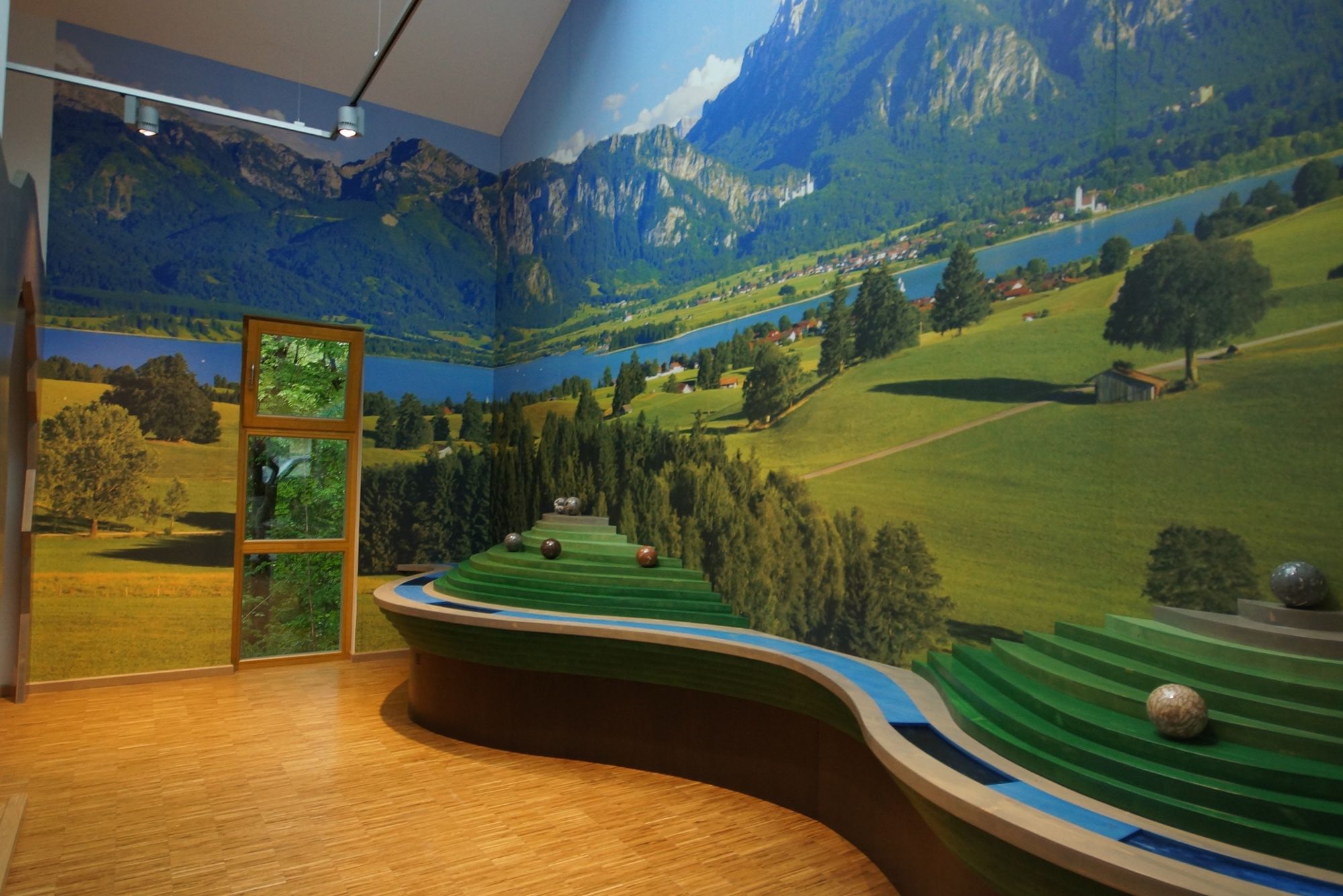
General info
Refreshment stop
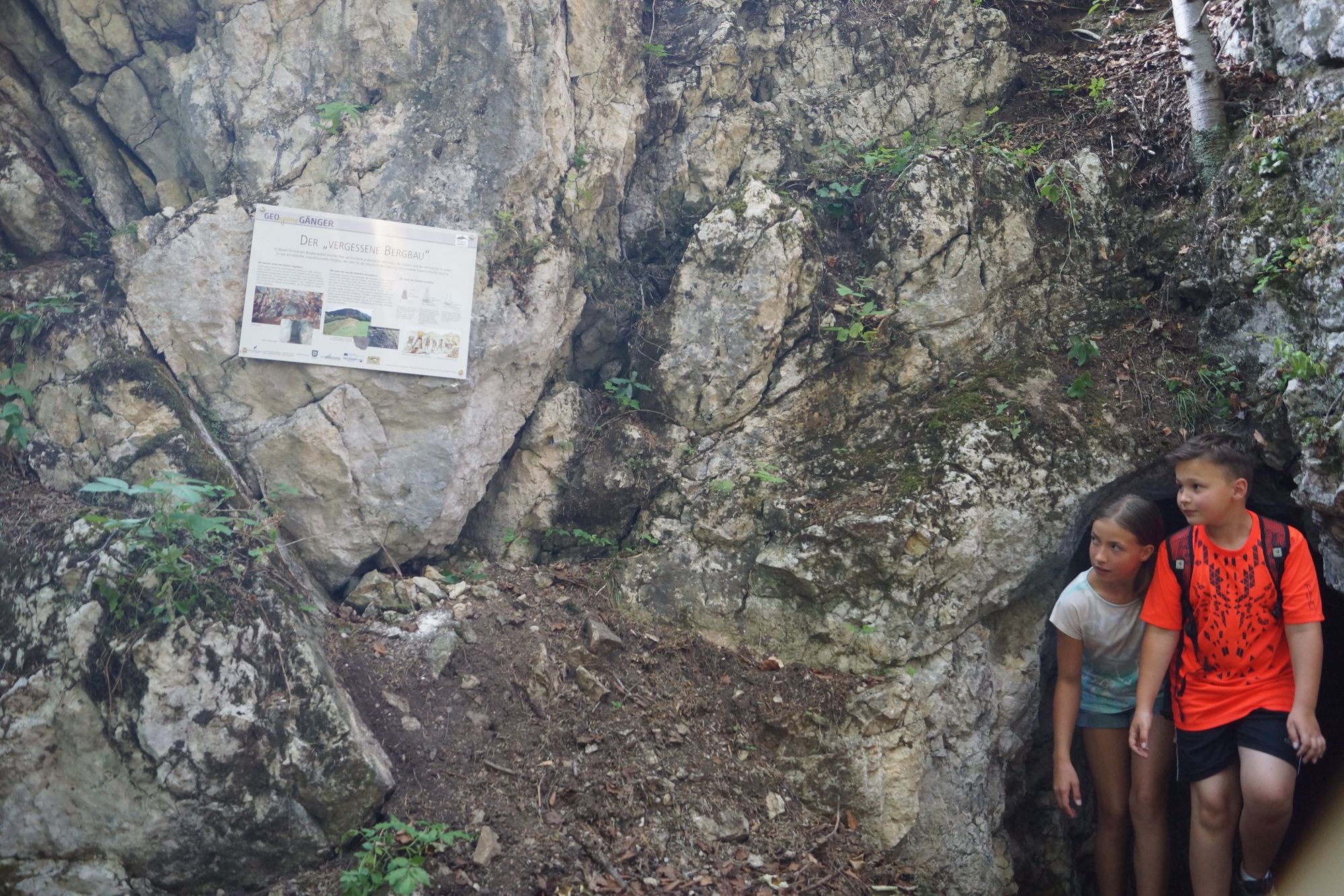
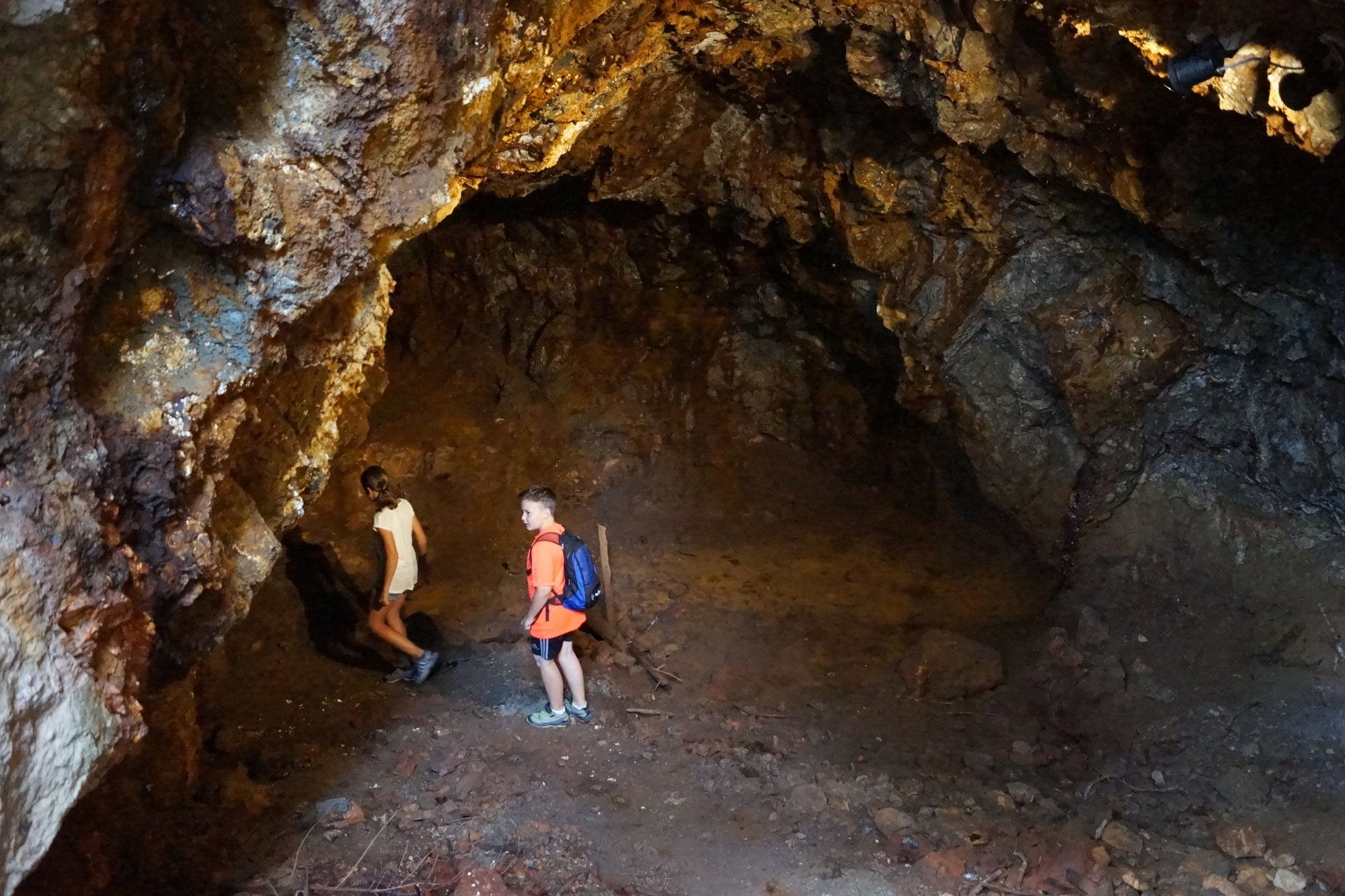
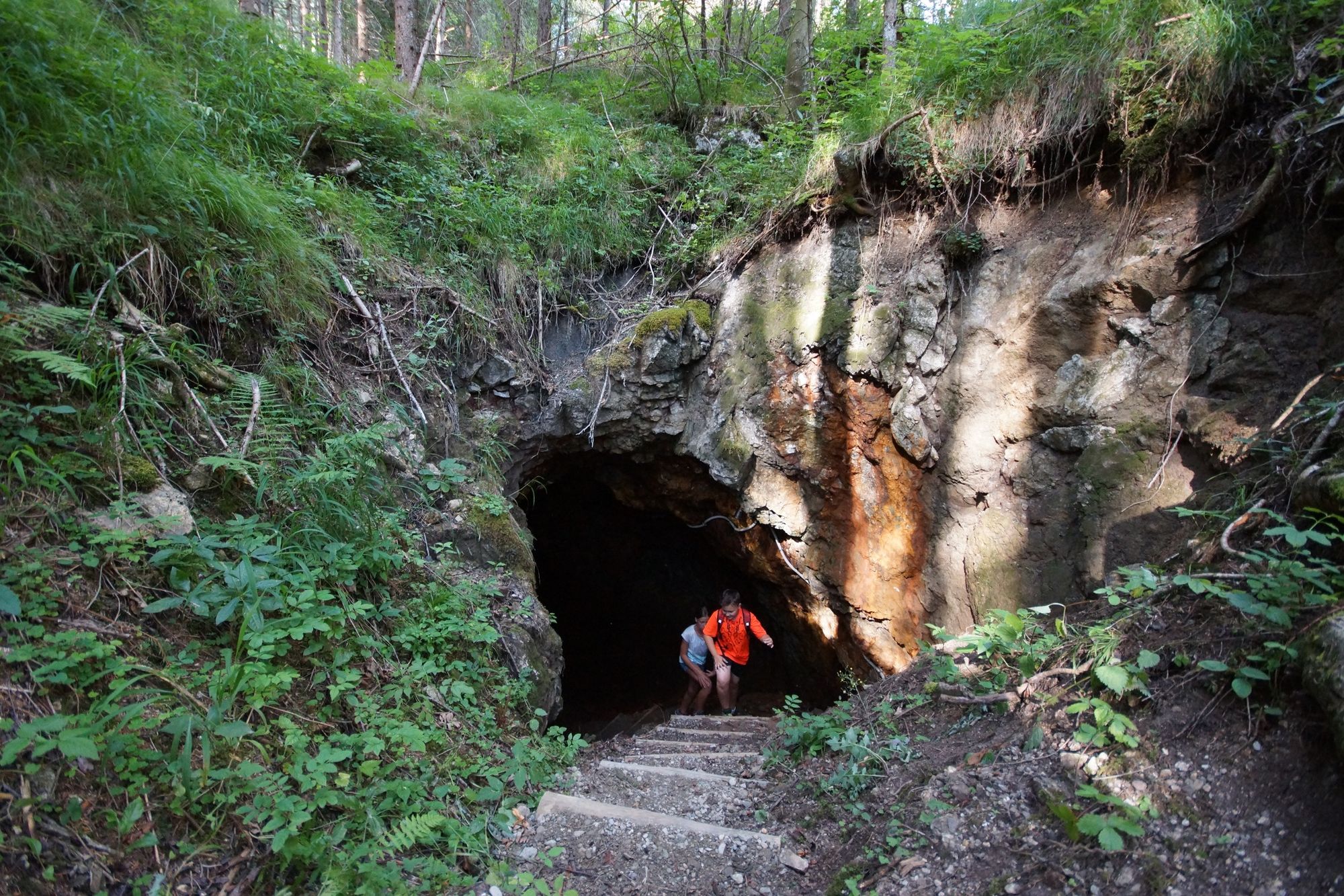
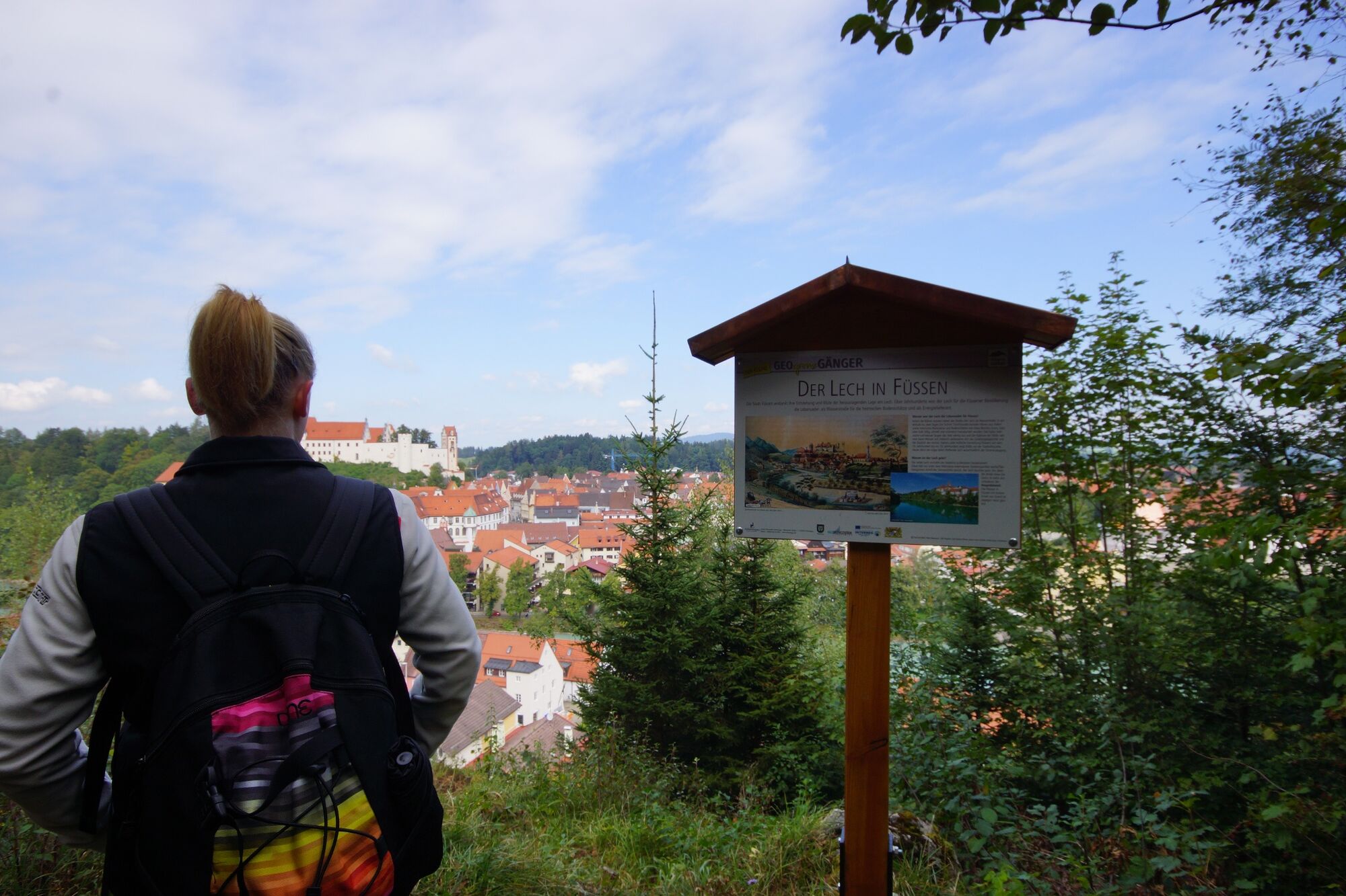
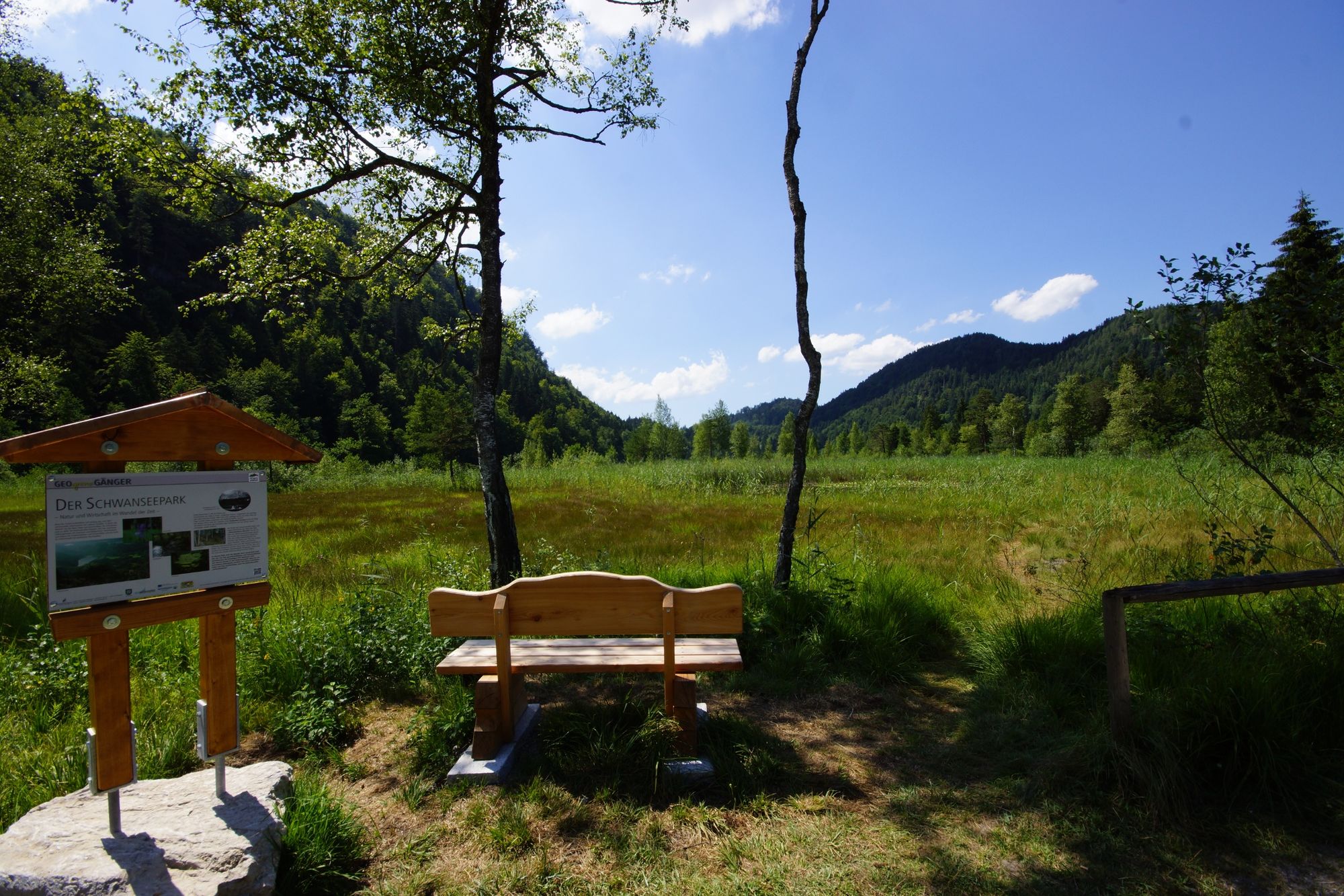
Cultural/Historical
Flora
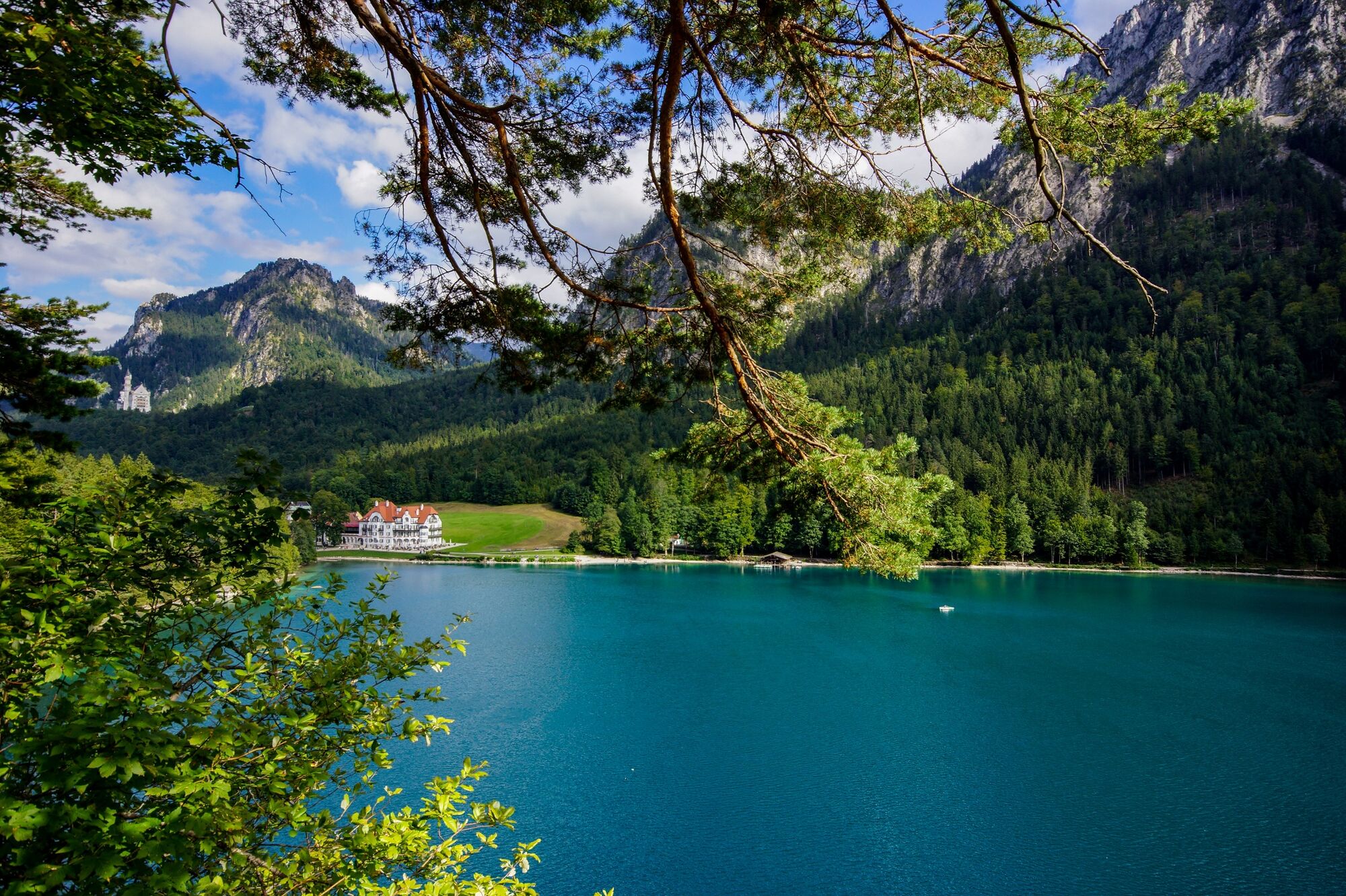
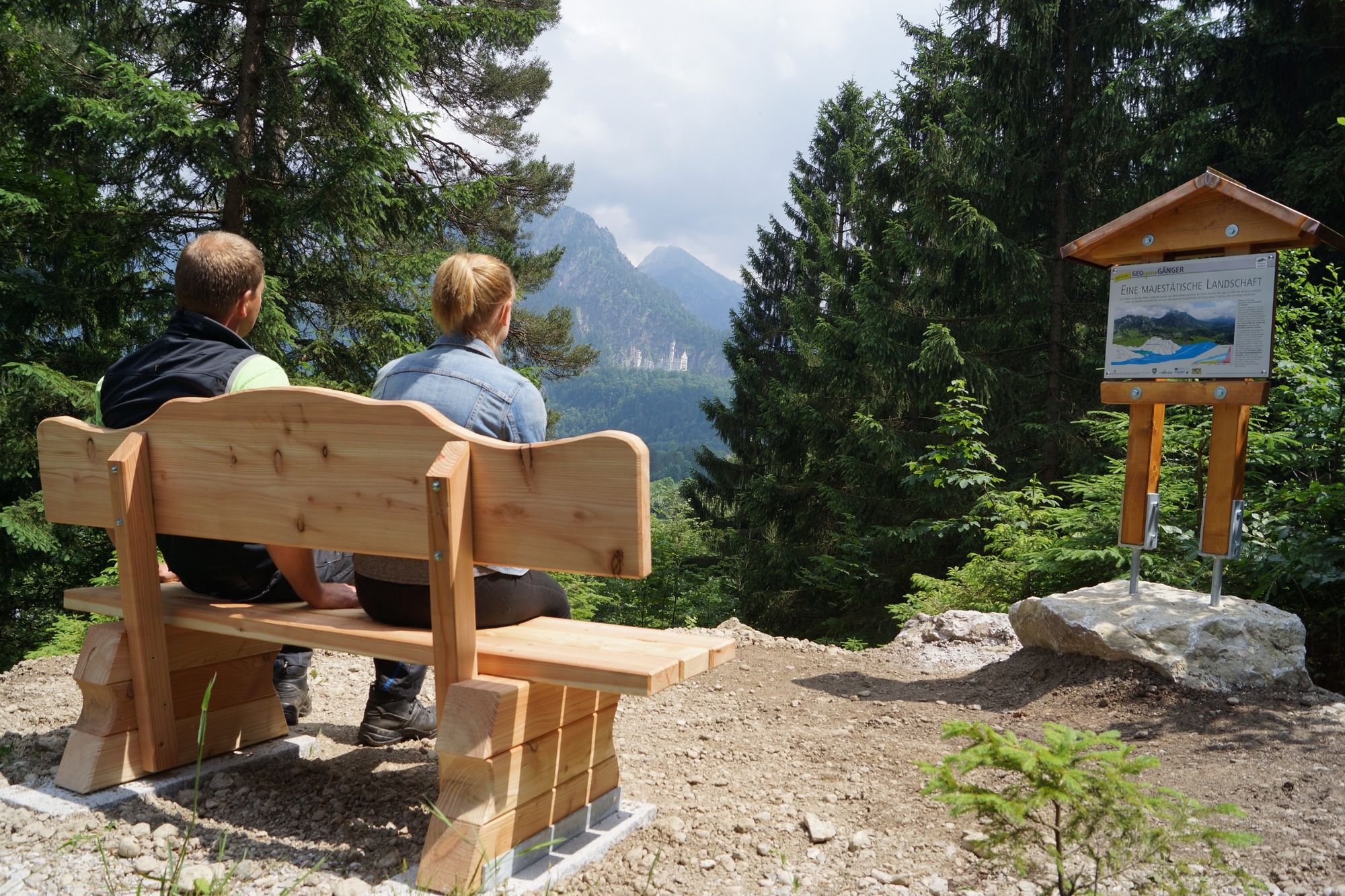
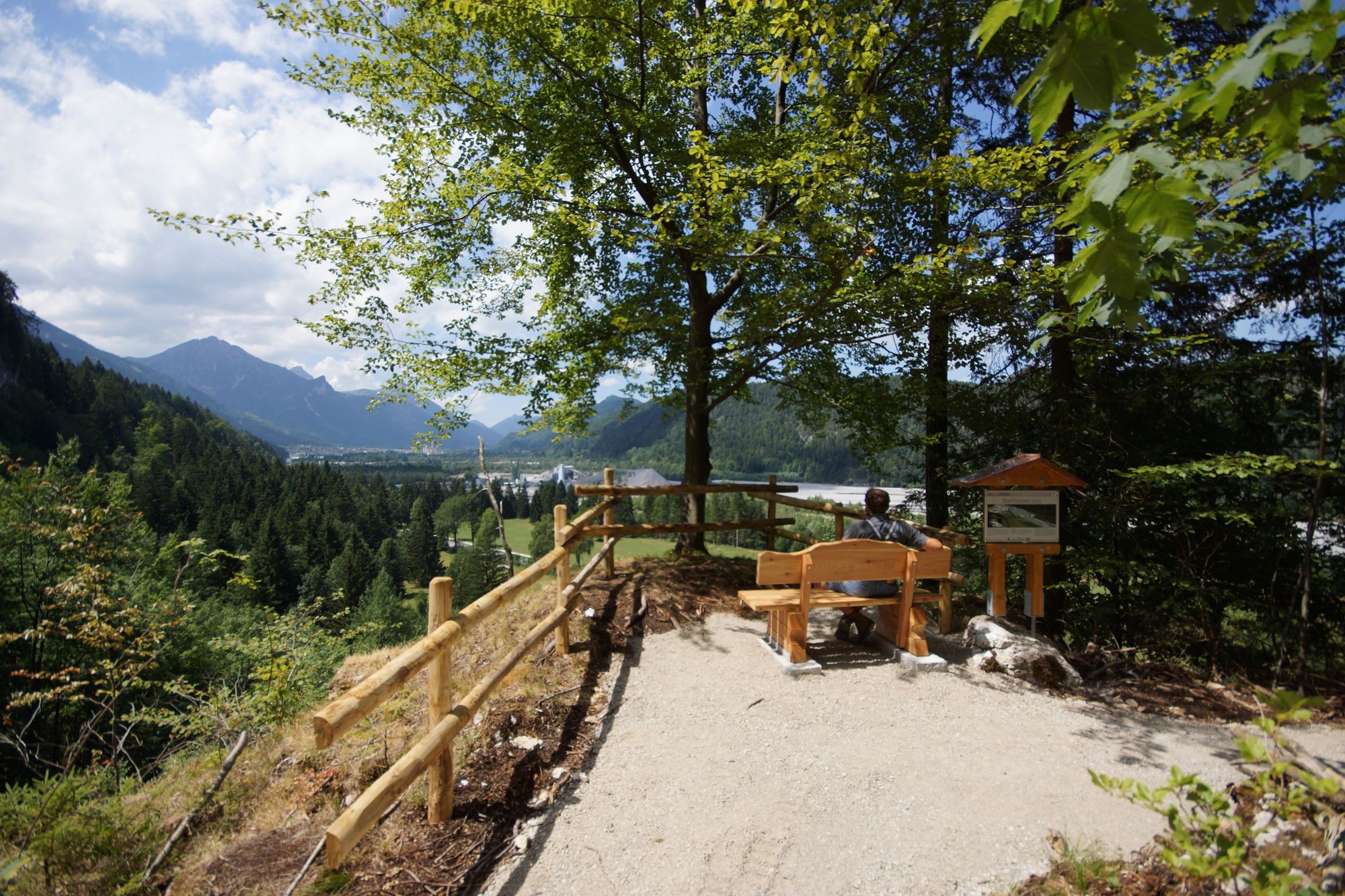
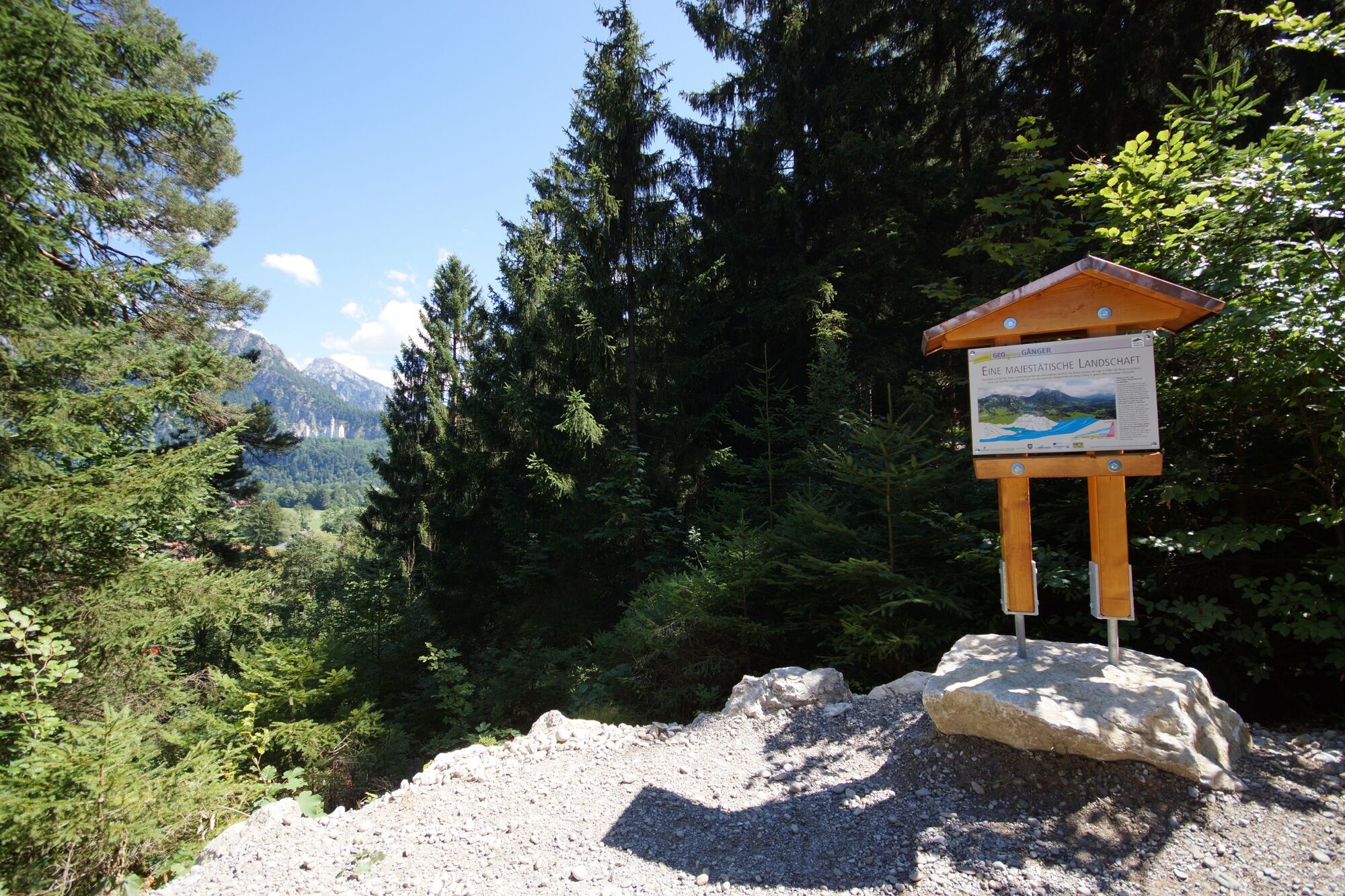
A lot of view
Other tours in the regions
-
Allgäu
2361
-
Naturparkregion Reutte
1434
-
Füssen
605