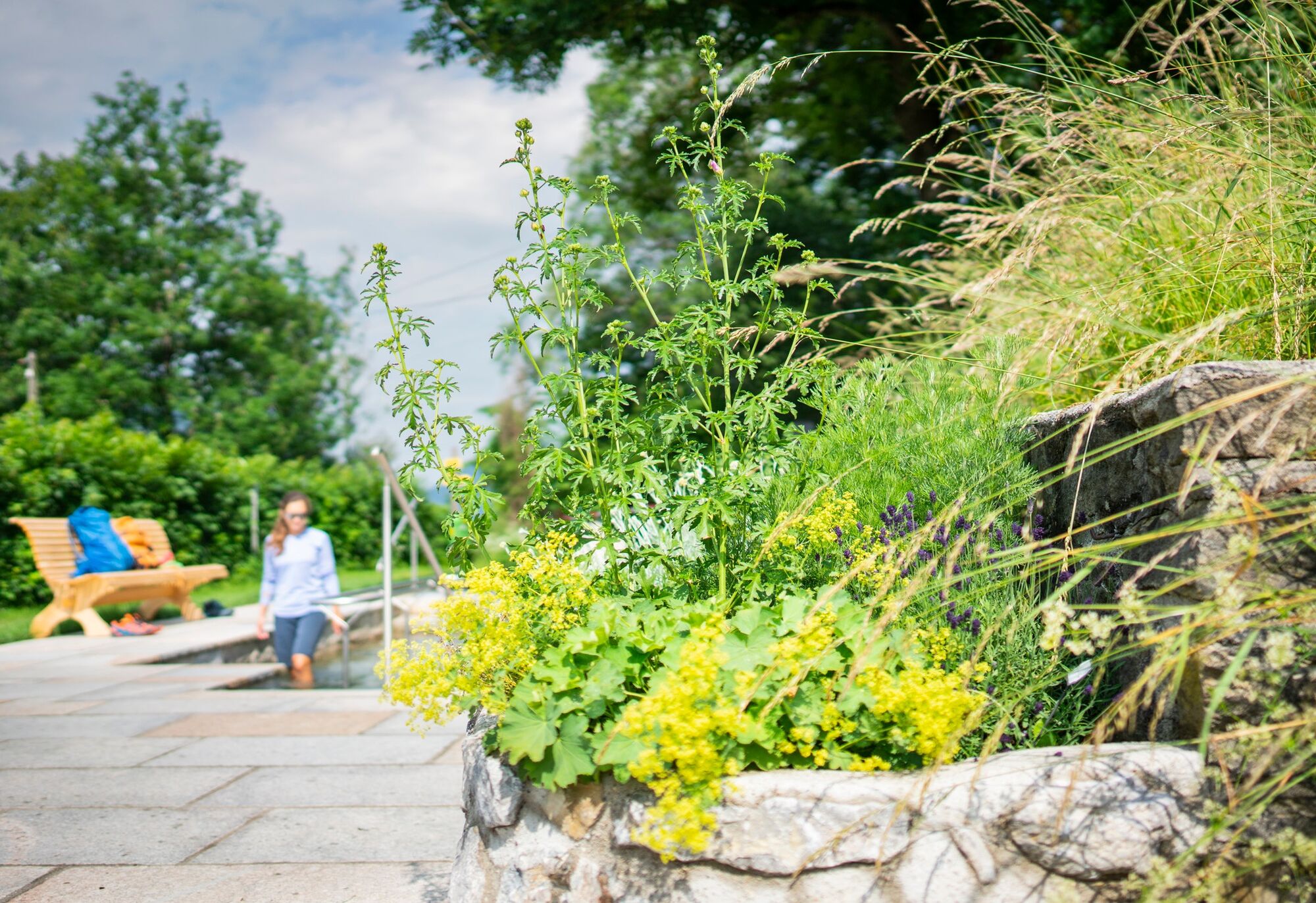
© Alpenregion Tegernsee Schliersee - Dietmar Denger

© Alpenregion Tegernsee Schliersee - Dietmar Denger

© Alpenregion Tegernsee Schliersee - Dietmar Denger

© Alpenregion Tegernsee Schliersee - Amelie Schauer

© Alpenregion Tegernsee Schliersee - Dietmar Denger

© Alpenregion Tegernsee Schliersee - Dietmar Denger

© Alpenregion Tegernsee Schliersee - Dietmar Denger

© Alpenregion Tegernsee Schliersee - Dietmar Denger

- Brief description
-
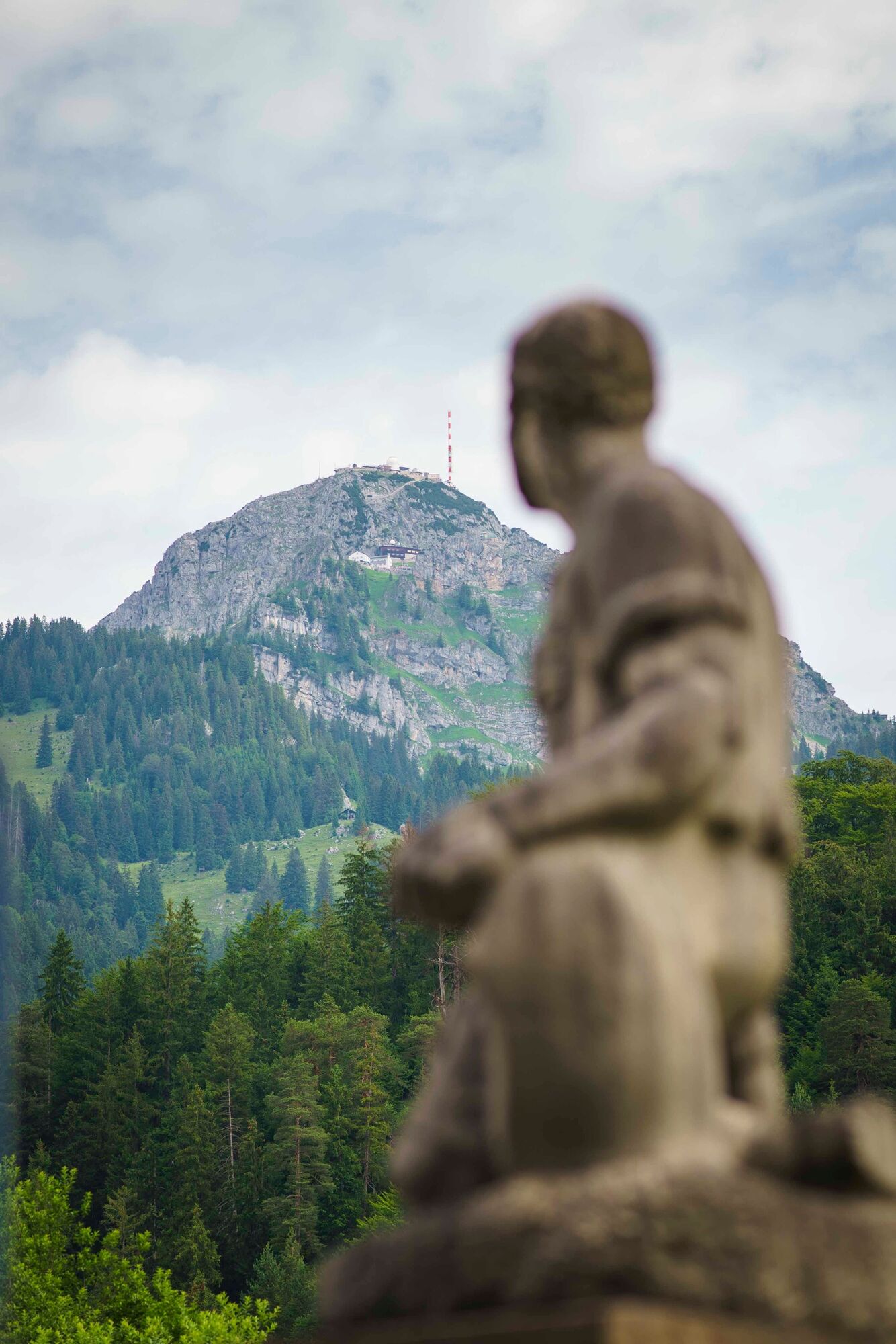
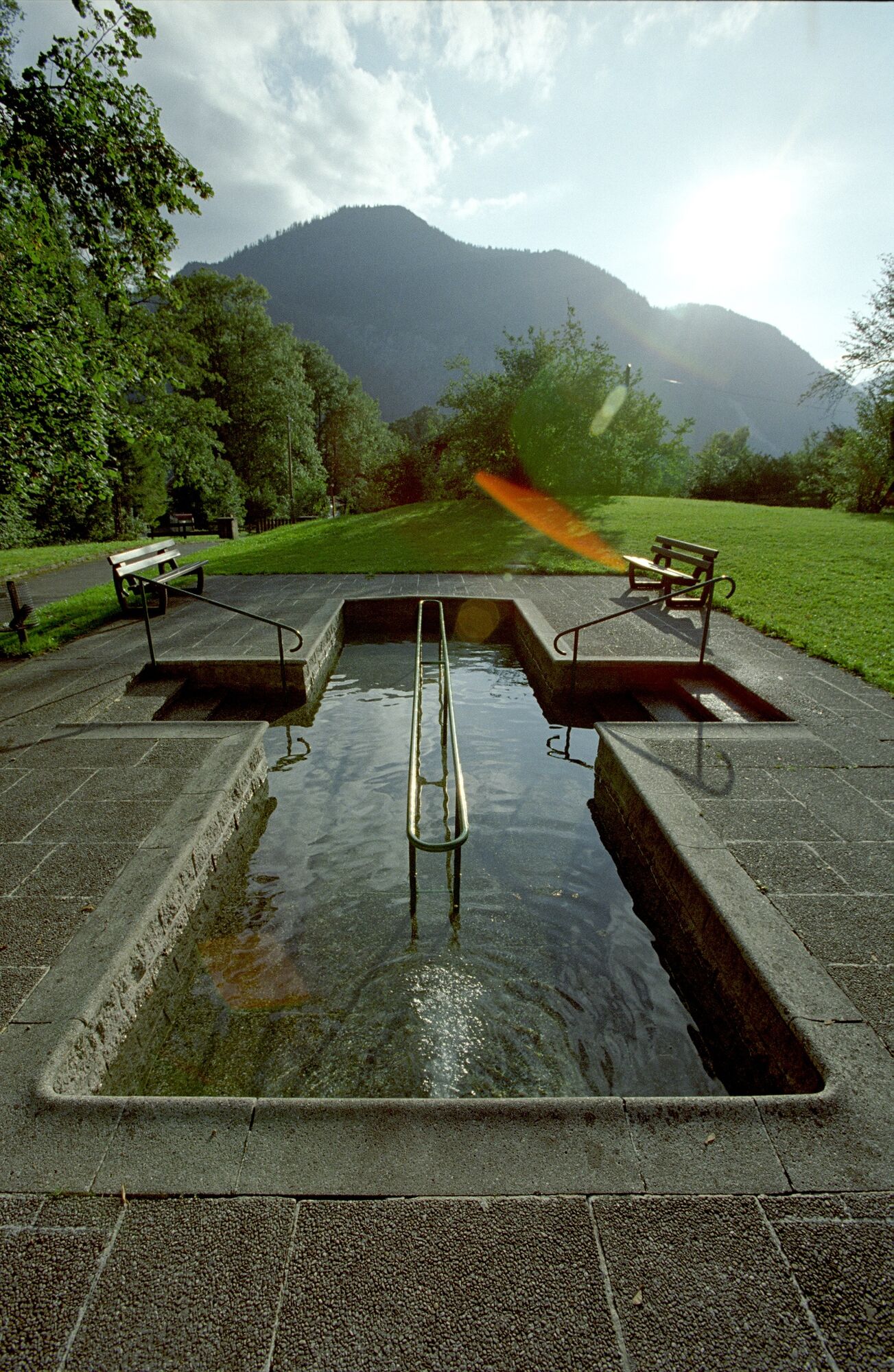
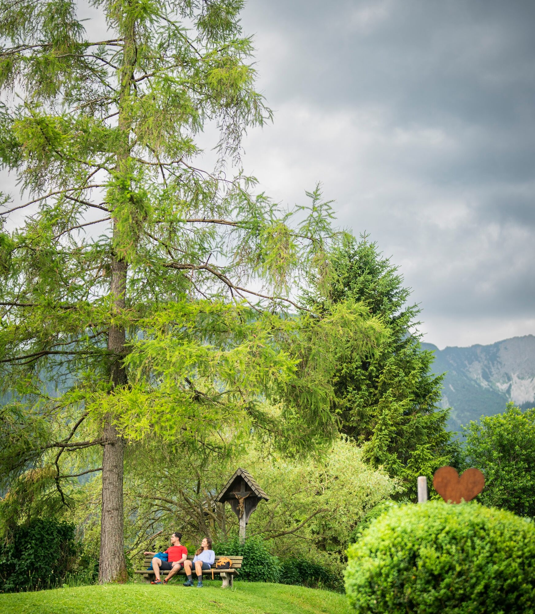
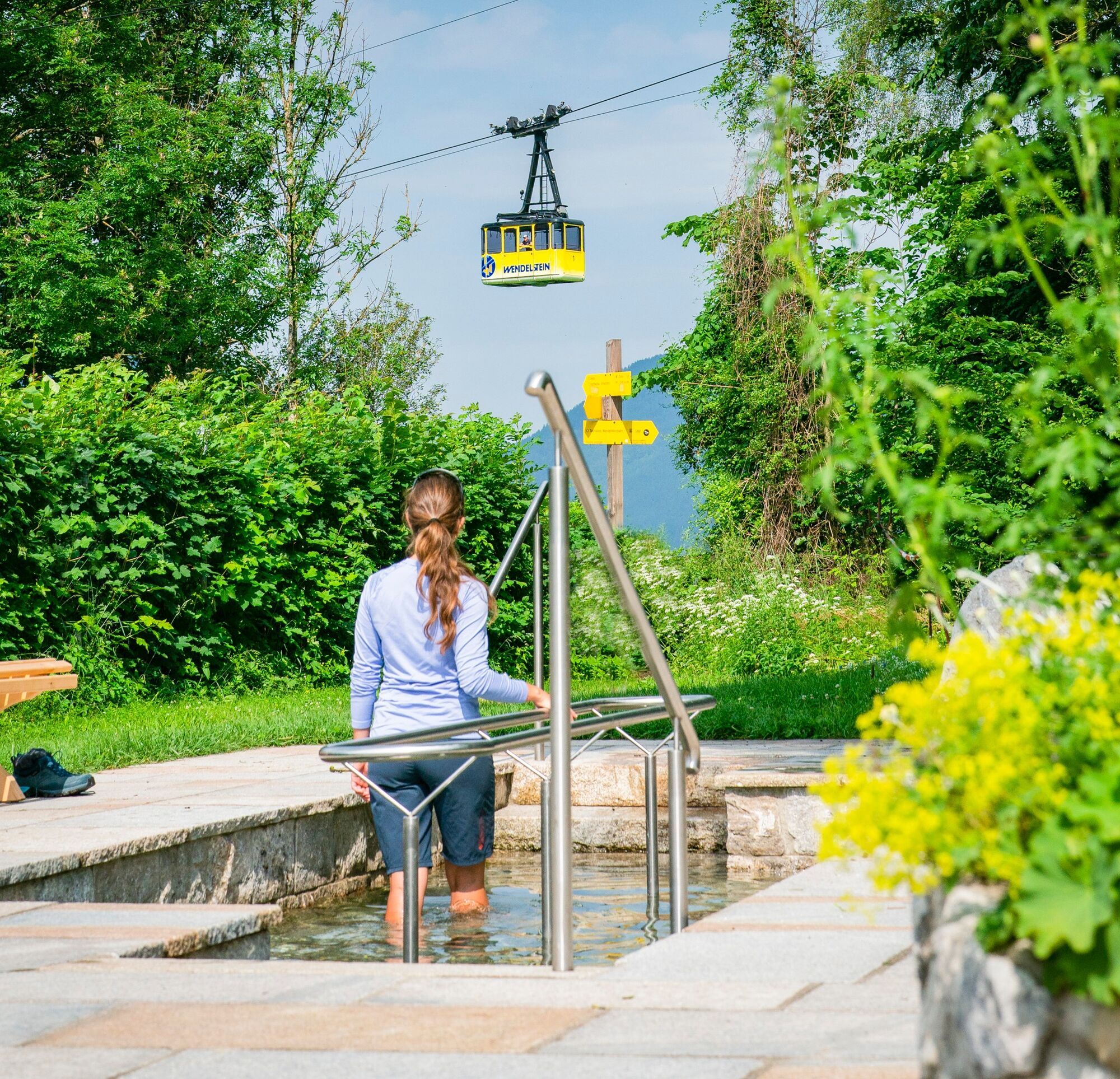
Eine schöne Tour nicht nur für Gesundheitsbewusste
- Difficulty
-
easy
- Rating
-
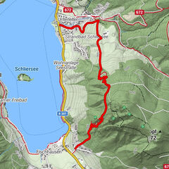
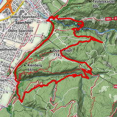
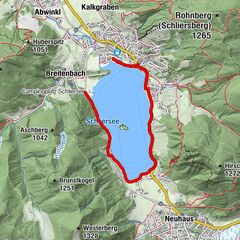
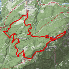
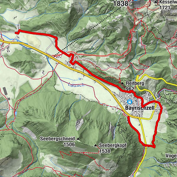
- Route
-
Schönborn Kapelle2.9 kmBayrischzell3.2 kmOsterhofen5.9 kmZum Wurz5.9 kmSt. Maria Himmelfahrt5.9 kmOberberg6.1 kmDorf7.0 kmGeitau8.0 kmRied8.3 km
- Best season
-
JanFebMarAprMayJunJulAugSepOctNovDec
- Highest point
- 839 m
- Height profile
-
 © outdooractive.com
- Author
-
The tour Kneipp-Tour is used by outdooractive.com provided.
GPS Downloads


General info
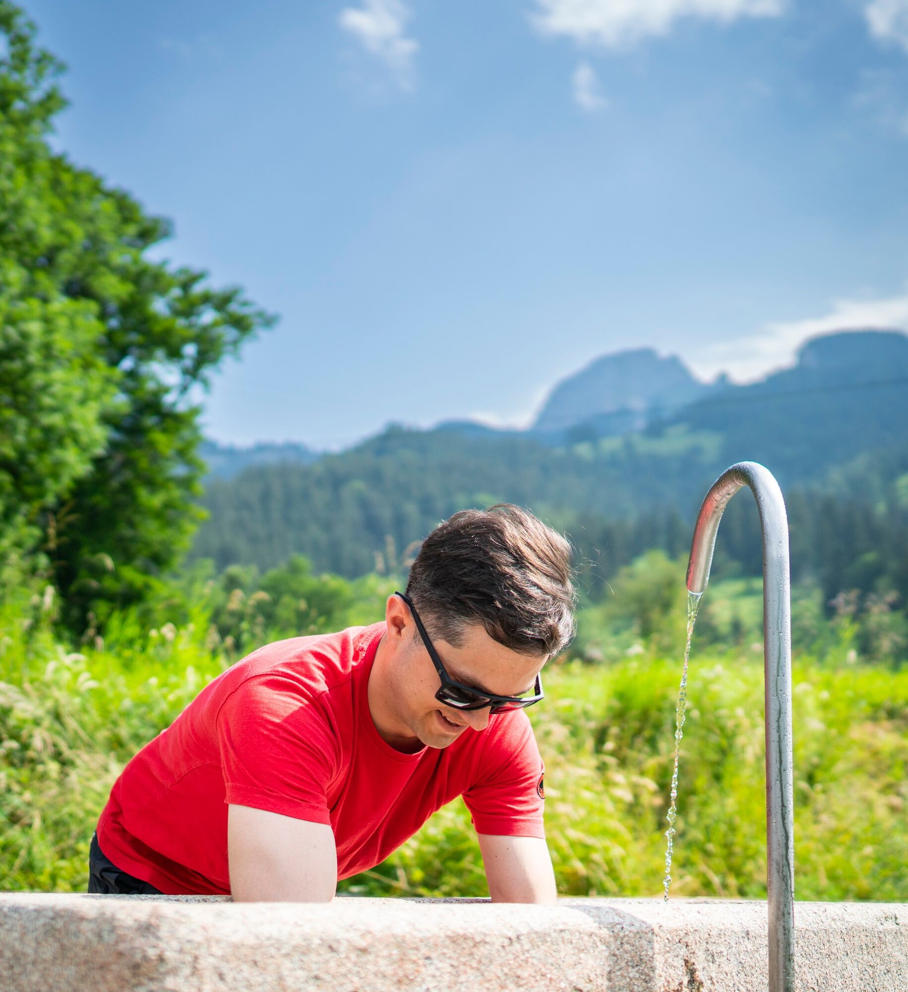
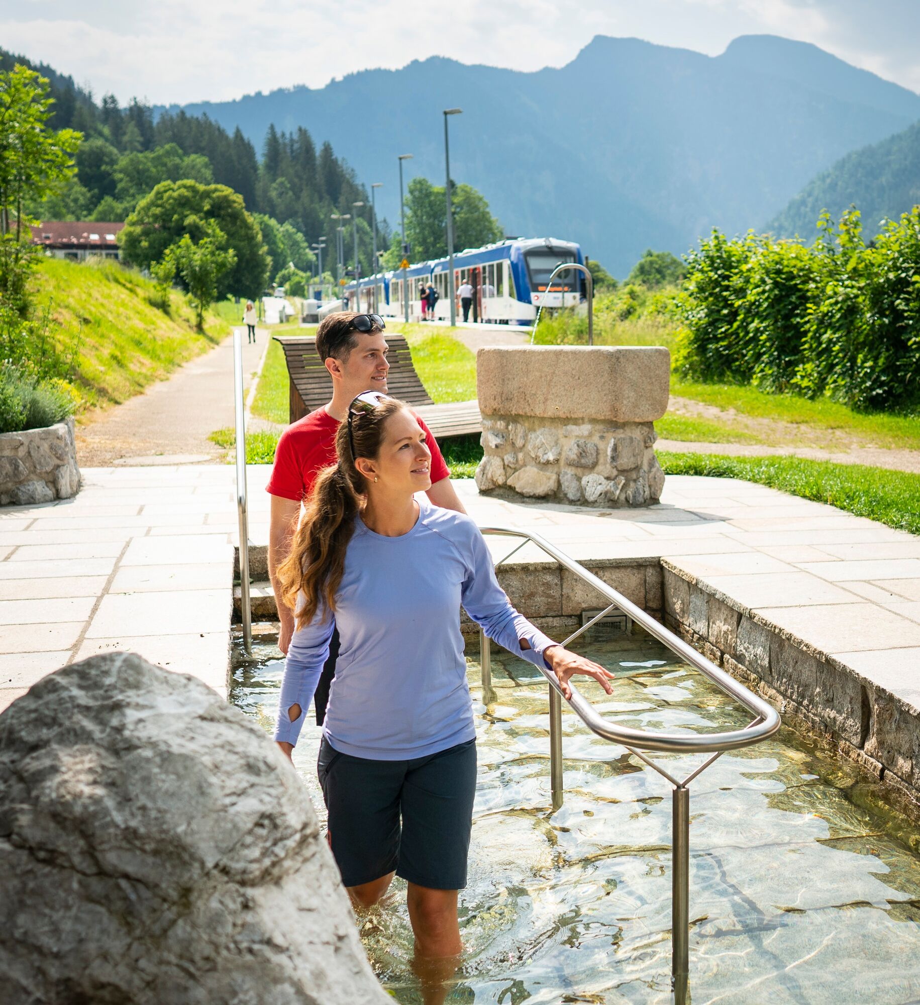
Refreshment stop
Other tours in the regions
-
Chiemsee - Alpenland
1216
-
Bayrischzell
549