Tour data
48.34km
682
- 953m
358hm
361hm
04:06h
- Brief description
-
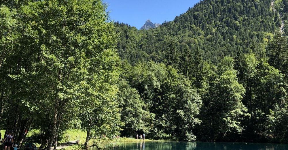
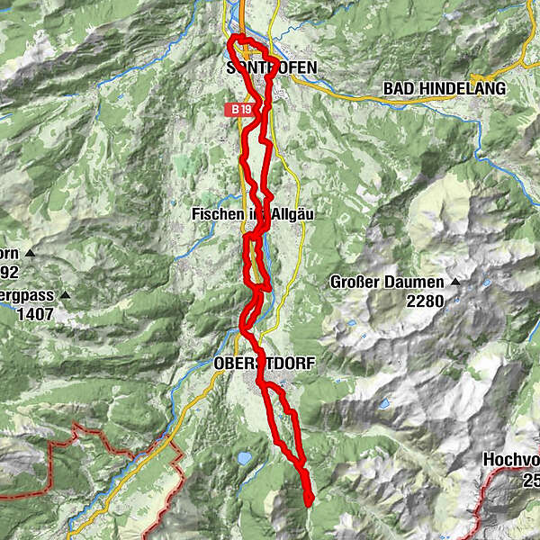
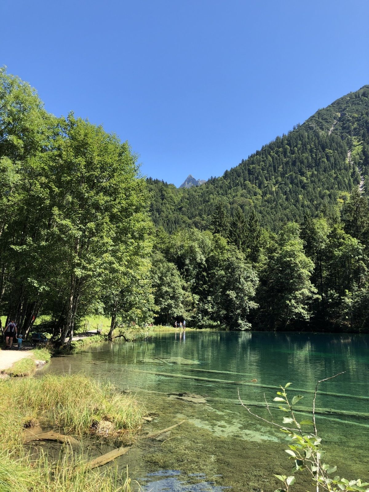
Sonthofen - Fischen - Oberstdorf - Christlessee
- Difficulty
-
easy
- Rating
-
- Route
-
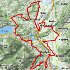
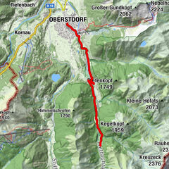
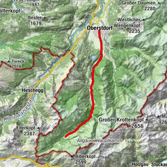
Rieden0.1 kmOberzollbrücke0.9 kmIllersiedlung1.7 kmSonthofen (741 m)2.2 kmTiefenberg5.2 kmWeiler7.3 kmFrauenkapelle8.9 kmFischen im Allgäu8.9 kmLangenwang12.4 kmSt. Antonius-Kapelle12.7 kmOberstdorf (813 m)16.4 kmChristuskirche16.9 kmMegèver Platz17.8 kmGruben20.6 kmChristlessee24.3 kmGottenried24.4 kmDietersberg25.1 kmJosefskapelle28.6 kmKapelle Maria Loretto28.7 kmAppachkapelle28.7 kmMegèver Platz29.9 kmChristuskirche30.0 kmOberstdorf (813 m)30.5 kmLangenwang (Schwaben)34.3 kmLangenwang34.7 kmFischen im Allgäu37.3 kmAu38.8 kmUnterthalhofen39.8 kmSt. Joseph39.9 kmAltstädten41.8 kmAltstädten (Allgäu)42.0 kmSt. Michael44.9 kmSonthofen (741 m)45.4 kmFriedhofskapelle45.9 kmRieden48.0 km
- Highest point
- 953 m
GPS Downloads


Other tours in the regions
-
Allgäu
410
-
Alpsee-Grünten
187
-
Fischen im Allgäu / Hörnerdörfer
39