- Brief description
- Difficulty
-
medium
- Rating
-
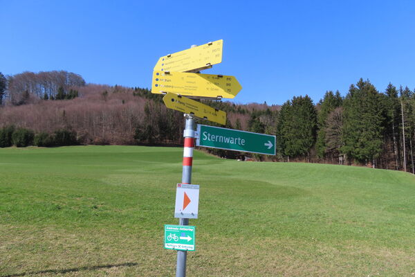
- Starting point
-
Teisendorf town centre
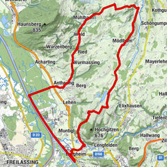
- Route
-
Teisendorf0.0 kmFreidlinger Bach1.1 kmFreidling1.8 kmHub2.6 kmNiederreit3.2 kmStoißer Alm11.7 kmNiederreit20.2 kmHub21.0 kmFreidling21.8 kmFreidlinger Bach22.2 kmTeisendorf23.5 km
- Best season
-
JanFebMarAprMayJunJulAugSepOctNovDec
- Description
-
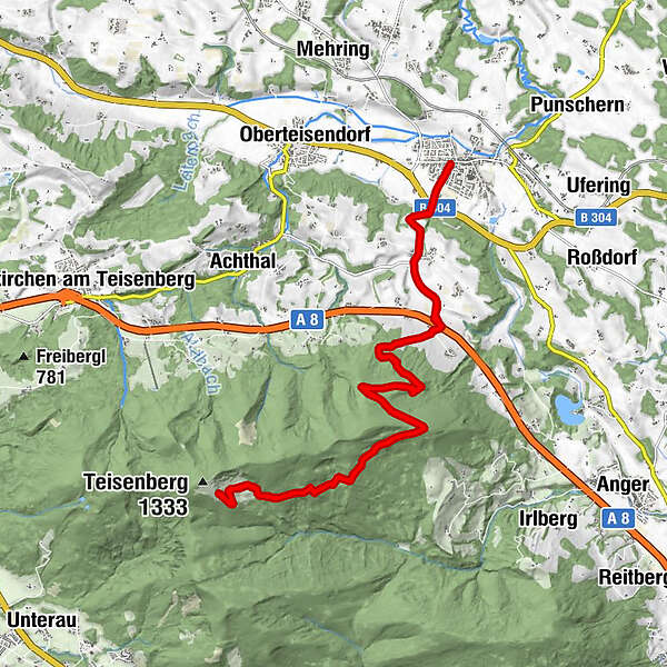
From Teisendorf you take the Milchstraßen cycle path (white cow on purple background) to Freidling. After Hub and Niederreit you still ride on asphalt, but then it's serpentines to the eastern ridge of the Teisenberg. Along the southern flank you reach the Stoißer Alm. Climbing steeply once again, you finally reach the mountain restaurant at the top. The way back leads along the same route or via Tour 22 to Anger and then along the Moor and Moosradweg to Teisendorf.
- Directions
-
From Teisendorf you take the Milchstraßen-Radweg (white cow on purple background) to Freidling. After Hub and Niederreit you still ride on asphalt, but then it's serpentines to the eastern ridge of the Teisenberg. Along the southern flank you reach the Stoißeralm. Another steep ascent takes you to the Stoißer Alm mountain restaurant at the top. The way back leads along the same route or via tour 22 to Anger and then along the Moor and Moosradweg (moor and moss cycle path) to Teisendorf.
- Highest point
- 1,266 m
- Endpoint
-
Teisendorf town centre
- Height profile
-
 © outdooractive.com
 - Equipment
-
Helmet
- Safety instructions
-
Watch out for pedestrians!
- Tips
-
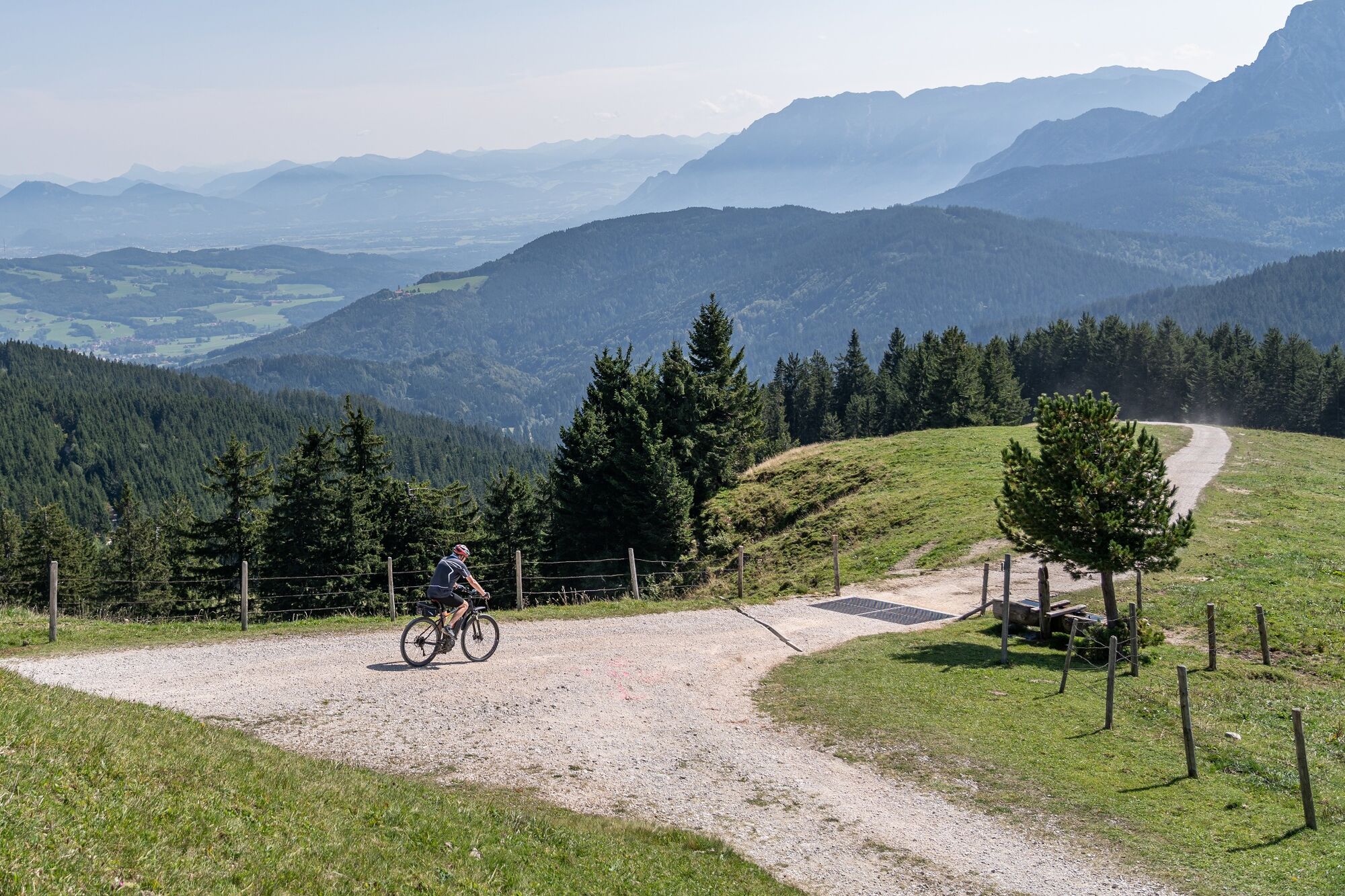
A stop on the sun terrace of the Stoißer Alm mountain restaurant is obligatory! The Stoißer Alm is open from May to mid-October.
- Additional information
- Arrival
-
From the A8 motorway exit Neukirchen on the road 2102 to Oberteisendorf and then on the B304 to Teisendorf.
From Freilassing on the B304 to Teisendorf.
From Bad Reichenhall and Piding first on the B20 then on the road 2103 to Teisendorf.
By train to Teisendorf, then by bike on Bahnhofstraße to the centre of Teisendorf. - Public transportation
-
Deutsche Bahn, Teisendorf railway station
- Parking
-
Several smaller car parks in the vicinity of Teisendorf town centre


-

-
AuthorThe tour MTB: 23 - Stoißer Alm from Teisendorf is used by outdooractive.com provided.


General info
-
Waginger See
135
-
Teisendorf
94