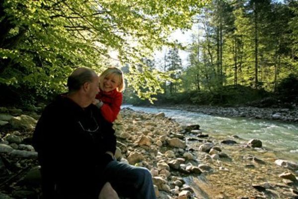
© Gemeinde Halblech - Irmengard Burkart

- Difficulty
-
medium
- Rating
-
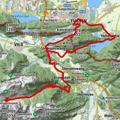
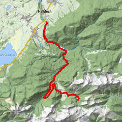
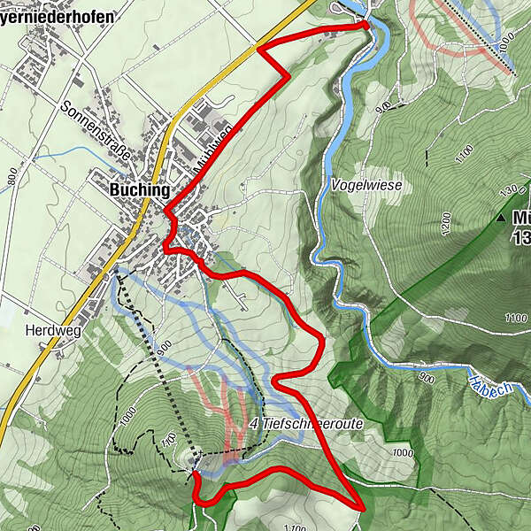
- Route
-
Buching (805 m)1.4 kmBuching (805 m)8.3 km
- Best season
-
JanFebMarAprMayJunJulAugSepOctNovDec
- Highest point
- 1,128 m
- Endpoint
-
Buchenberg
- Height profile
-
 © outdooractive.com

- Author
-
The tour Buchenberg is used by outdooractive.com provided.
GPS Downloads


Other tours in the regions