


- Brief description
-
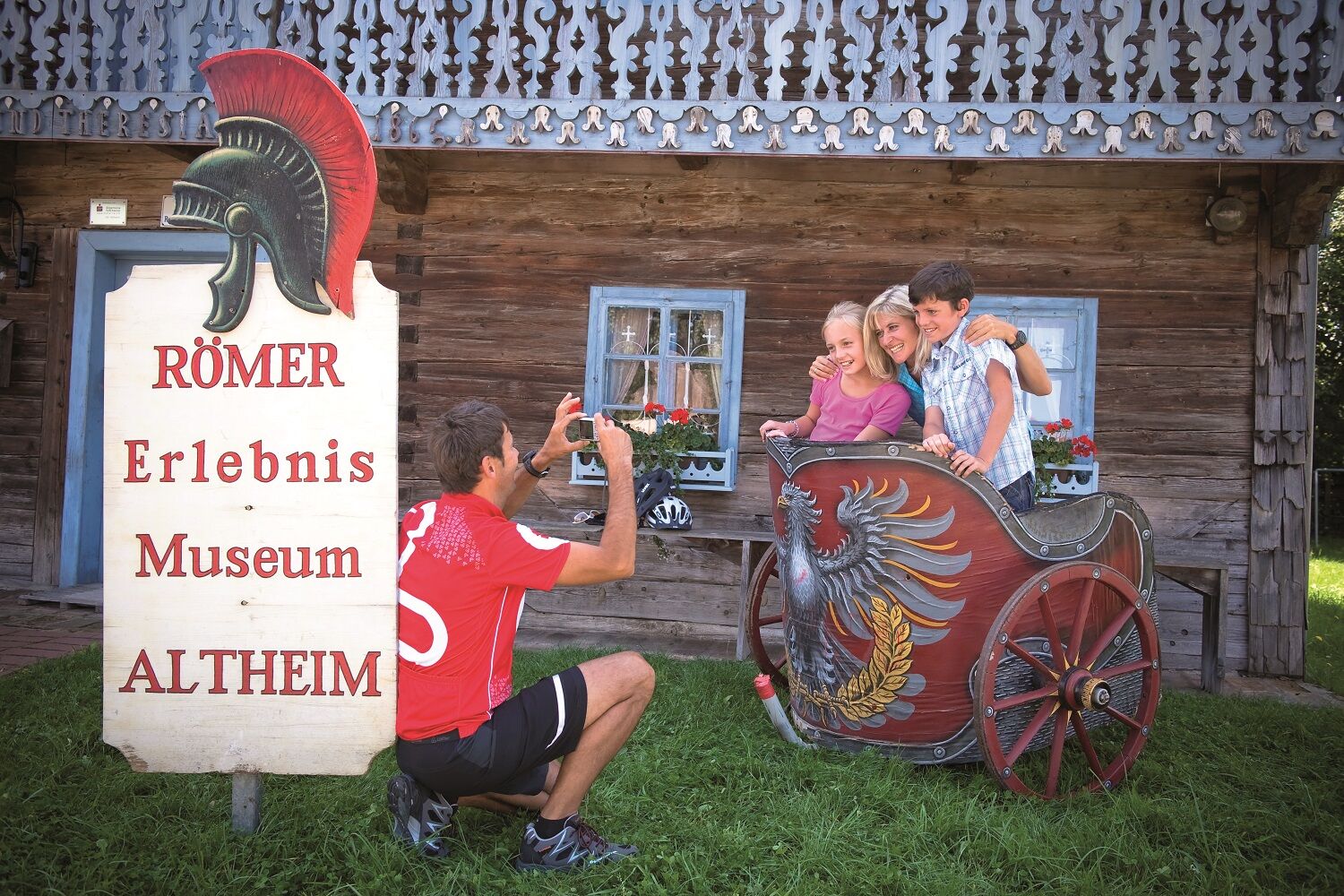
Ride back to the Roman age
- Difficulty
-
medium
- Rating
-
- Starting point
-
Passau (or Schärding) (293 m)
- Route
-
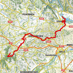
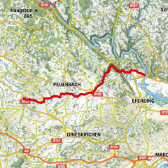
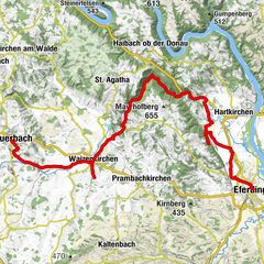
Passau (312 m)Neufelser6.6 kmWernstein8.6 kmSchiffsanlegestelle8.9 kmNeuburg am Inn9.0 kmZur Klostertaverne11.6 kmVornbach11.7 kmNeuhaus am Inn15.0 kmSchärding15.1 kmNeuhaus am Inn15.3 kmWeihmörting16.3 kmMittich18.6 kmMaria Himmelfahrt18.8 kmFrimhöring23.6 kmMarienkirche24.6 kmRuhstorf an der Rott (319 m)24.7 kmGasthaus Besenhart24.9 kmToni Wirt24.9 kmSembauer27.3 kmGstetten27.7 kmKath. Pfarrkirche St. Ulrich30.3 kmPocking30.4 kmAngering34.7 kmChristuskirche36.7 kmBad Füssing36.8 kmAndreaskirche37.3 kmKapelle39.1 kmUrfar51.3 kmAsperl52.5 kmEring54.5 kmBurgschänke55.7 kmFrauenstein56.2 kmMamling58.3 kmHoll59.8 kmAltheim64.4 kmPfarrkirche69.5 kmPizzeria Tonino69.6 kmPolling im Innkreis69.7 kmGasthaus Friedl70.8 kmImolkam71.2 kmAltenaichet72.2 kmOrnading73.1 kmAu74.9 kmRoith75.5 kmKatzlberg78.6 kmAspach79.1 kmEnglham80.4 kmEcking81.4 kmRottersham81.9 kmParz83.3 kmPfarrgotteshaus Sankt Stefan84.6 kmMettmach84.7 kmLandgasthof Stranzinger84.9 kmGroßenreith87.9 kmKapelle zur göttlichen Barmherzigkeit89.8 kmPfarrkirche Lohnsburg am Kobernaußerwald91.3 kmLohnsburg am Kobernaußerwald91.3 kmRestaurant Kirchenwirt91.4 kmWaldzell93.3 kmGitthof94.3 kmKnechtsgern94.6 kmHöschmühl94.9 kmHartlberg95.5 kmSchmiedwirt97.6 kmFlucht (704 m)100.2 kmRedltal102.5 kmSeminarhotel Gasthof Redltalhof102.7 kmGrubleitenpoint106.8 kmGmeineck107.5 kmAdligen110.3 kmDanzenreith112.7 kmKrichpoint118.1 kmWies118.2 kmMörasing118.8 kmVöcklamarkt120.5 kmGründberg122.0 kmHaid123.0 kmLandgasthof Nußbaumer124.3 kmReichenthalheim124.4 kmGallnbrunn125.4 kmPiesdorf126.5 kmEgning129.1 kmGasthaus Lachinger130.7 kmWitzling130.8 kmHaunolding131.5 kmWeiterschwang133.9 kmObergallaberg135.8 kmUntergallaberg136.4 kmTimelkam137.4 kmStraß138.5 kmOberthalheim138.8 kmSt. Anna138.9 kmGasthof Fruhstorfer139.1 kmOberthalheim139.2 kmVöcklabruck (433 m)140.1 kmSonnleithen144.7 kmAichet145.6 kmAttnang-Puchheim146.3 kmSteinhübl146.6 kmKath. Filialkirche hl. Martin147.6 kmEinwarting149.6 kmFisching151.8 kmHainprechting153.3 kmErlausiedlung153.7 kmSchwanenstadt154.6 kmStaig155.7 kmNeudorf156.4 kmGasthof Rensch157.2 kmGlatzing158.4 kmHart159.2 kmEglau159.8 kmGedenkkreuz160.3 kmPizzaria Palermo163.3 kmPaurakirche (Zur heiligen Dreifaltigkeit)164.2 kmStadl-Paura164.4 kmLambach165.2 kmStadl-Ufer166.1 kmEdt bei Lambach167.3 kmKropfing168.0 kmGraben169.0 kmFluchtwang169.8 kmSperr170.5 kmSaag172.1 kmHölzl177.0 kmWaidhausen177.7 kmRosenau179.8 kmWels (317 m)181.8 kmThalheim bei Wels181.8 kmTraunuferstraße182.1 kmTraun201.3 kmNettingsdorf205.7 kmGrabwinkel209.2 kmAnsfelden210.2 kmKapelle216.6 kmRohrbach216.9 kmGemering219.0 kmSchitteraichet220.0 kmSt. Florian221.0 kmGasthof Franz-Ferdinand221.1 kmKiche St. Johann221.4 kmFlorianibründl221.4 kmKapelle222.9 kmWeilling223.0 kmSamesleiten224.2 kmGasthaus Walter Wurdinger229.6 kmEnns230.4 kmLorch230.8 kmEnghagen231.7 km
- Best season
-
JanFebMarAprMayJunJulAugSepOctNovDec
- Description
-
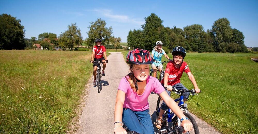
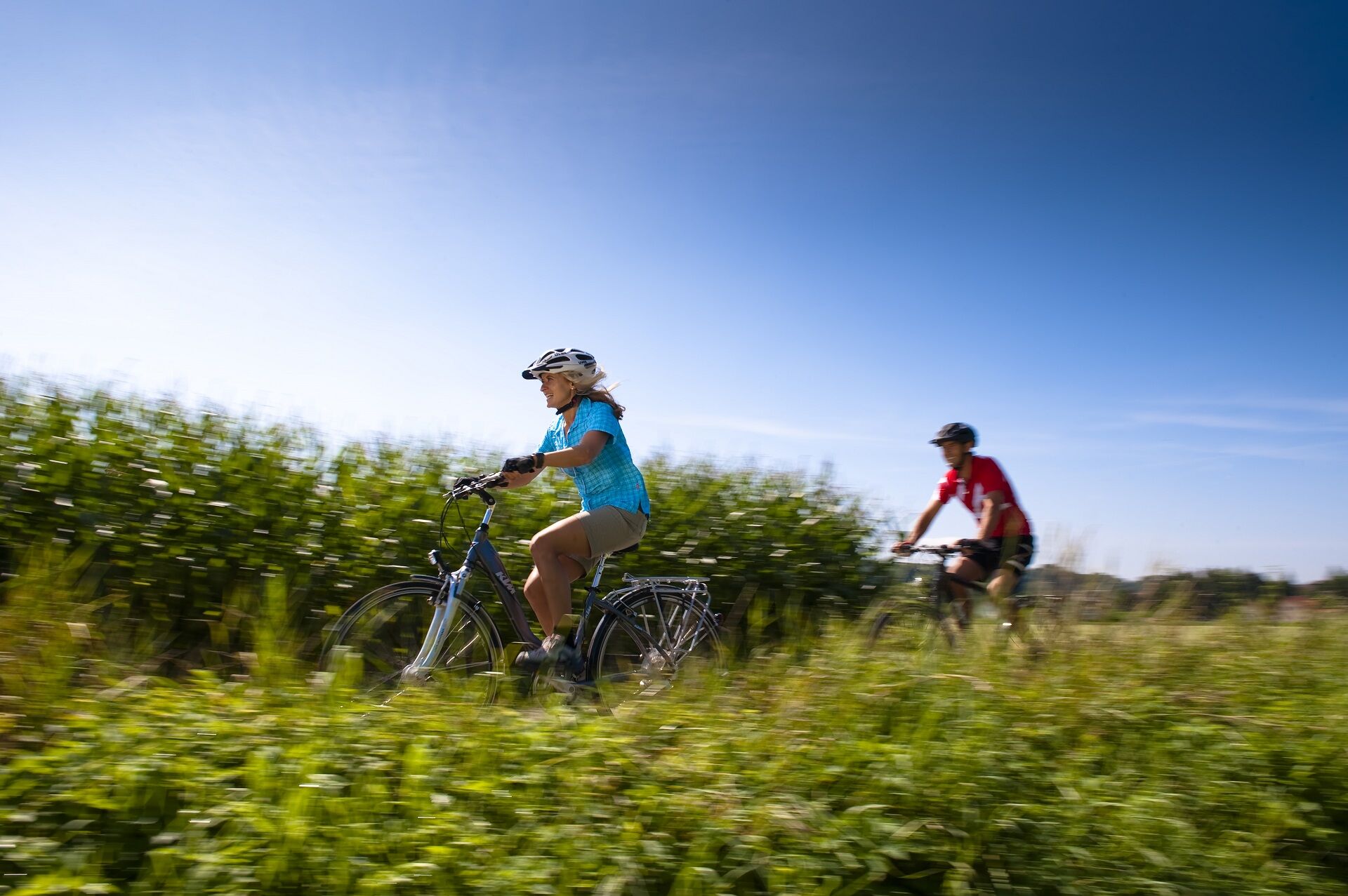
Traversing the Roman Cycle Trail from Passau to Enns an die Donau via Lake Atter and Wels is an eventful ride into the past. It passes a number of different excavation sites and relics from the Roman period.
- Directions
-
Starting out from the historic "City of Three Rivers", Passau, where the Inn and the Ilz flow into the Danube, cyclists pedal up the Inn on the Bavarian side to the Ering/Frauenstein power station. Then it’s on through the gently rolling hills of the Innviertel region to Lake Atter, Austria’s largest inland lake, in the Salzkammergut region.
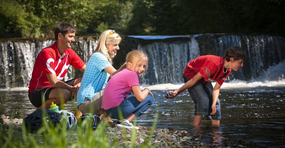
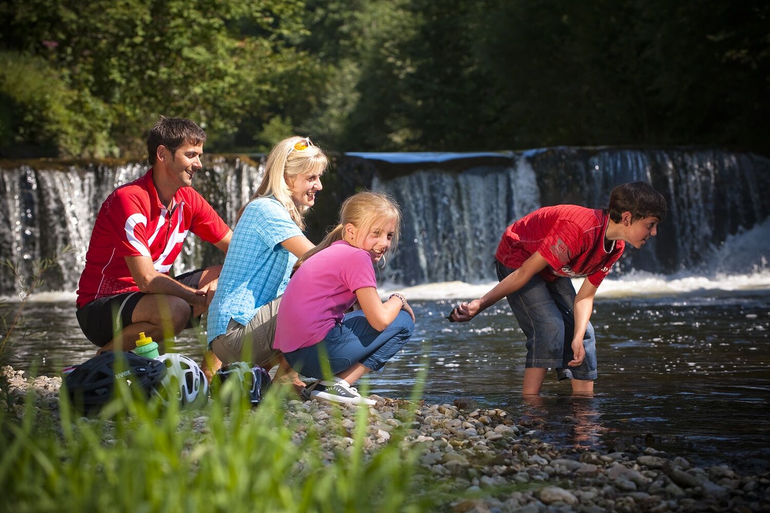
In addition to Romans, the first part of the stretch is all about health: two Kneipp facilities, for example, invite you to cool down and chill out. The route continues through the undulating hills of the Alpine foothills, via Frankenmarkt and on to Vöcklabruck, Schwanenstadt and Lambach with its impressive Benedictine monastery. After Wels, once the largest Roman civilian town in what is now Upper Austria, you will finally cross the finishing line in Enns, Austria’s oldest town.
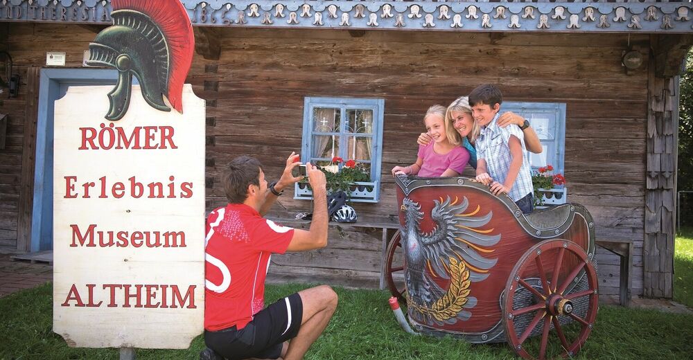
The cycle trail is signposted with the Roman helmet. Three-part information boards explain the life and culture of the Romans, and also reference the teachings of Hildegard von Bingen. Cyclists can also find information about food & drink services, accommodation and the route itself.
Tip: Return to your starting point in Passau by following the River Danube Cycle Trail, or by train and/or boat.
- Highest point
- 717 m
- Endpoint
-
Attersee (or Enns)
- Height profile
-
 © outdooractive.com
 - Safety instructions
-
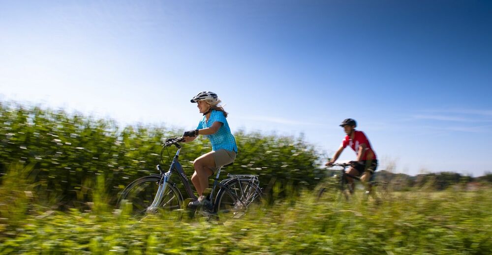
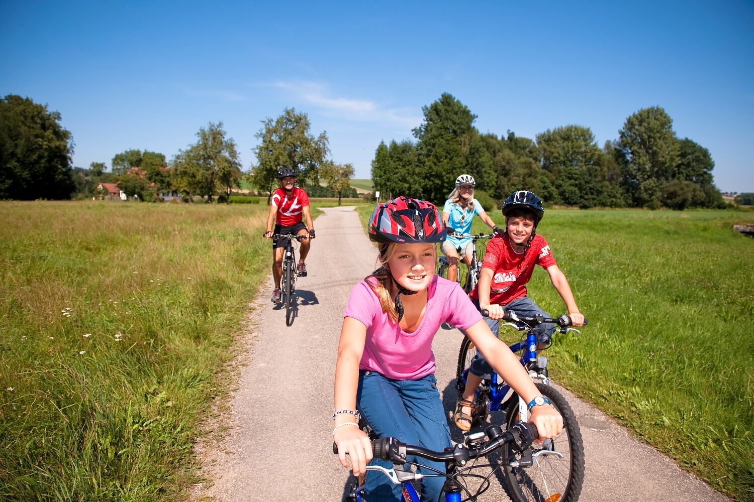
The stretch runs beside waterways on asphalted or well-paved cycle trails; in the Innviertel region it runs mainly on access roads and side roads, with hardly any inclines. Potentially hazardous locations have been made safe. Suitable for all bikes.
- Tips
-
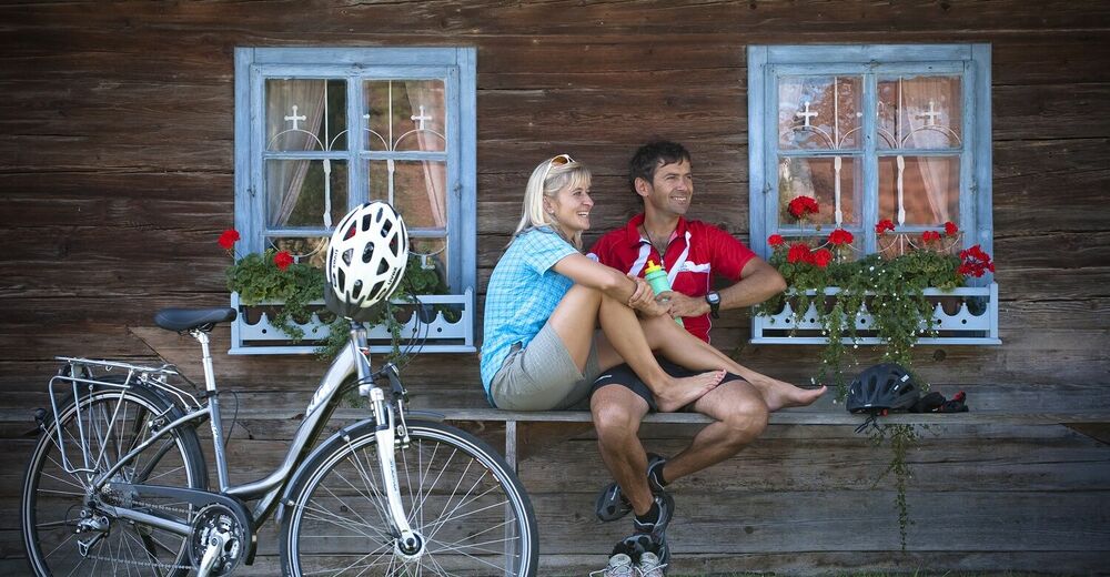
Suitable for families, as there are hardly any ascents and lots of places to stop for a rest. The River Danube Cycle Trail, the River Inn Cycle Trail, the Tauern Cycle Trail and the Salzkammergut Cycle Trail offer ideal connections; it is also possible to undertake a circular route if combined with the River Danube Cycle Trail.
- Additional information
- Directions
- Public transportation

- Author
-
The tour Roman Cycle Trail is used by outdooractive.com provided.