© NIVEA Wandertour/Randonnées NIVEA - Schweizer Wanderwege / Suisse Rando


- Brief description
-
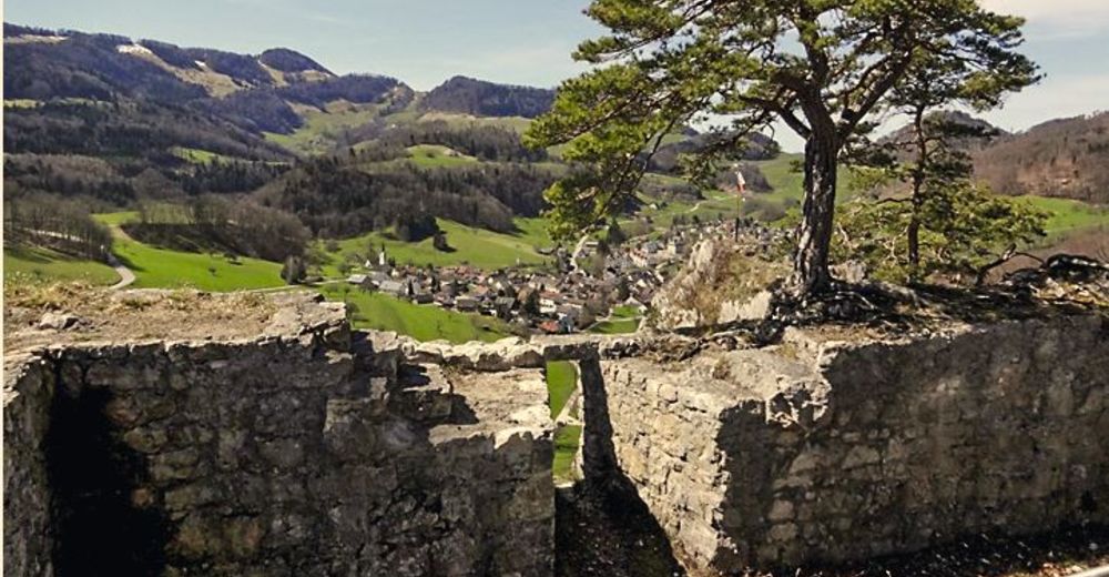
Im Herzen des Basler Juras
- Route
-
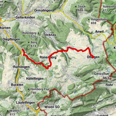
Bubendorf (378 m)Schloss Wildenstein1.9 kmGugger (686 m)6.0 kmTitterten8.2 kmReigoldswil (509 m)10.4 kmRyfenstein10.4 kmBistro am Dorfplatz10.5 kmRebstock10.5 km
- Highest point
- 688 m
- Endpoint
-
Ortszentrum von Reigoldswil
- Height profile
-
 © outdooractive.com

- Author
-
The tour Route Bubendorf – Reigoldswil is used by outdooractive.com provided.
GPS Downloads


Other tours in the regions
-
Solothurn und Region
1456
-
Fünflibertal
937
-
Arboldswil
382