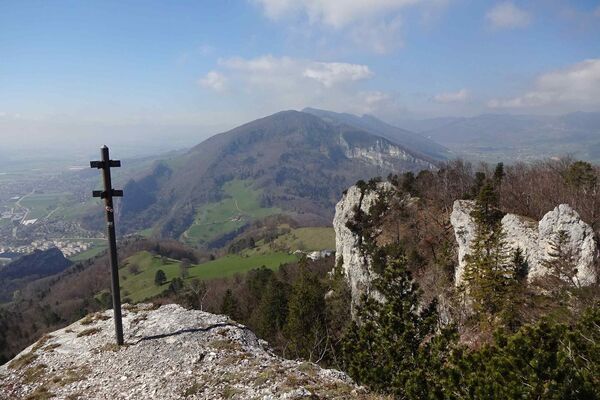
© Wanderwege beider Basel - Robert Horbaty

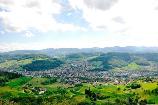
© Wanderwege beider Basel - Robert Horbaty
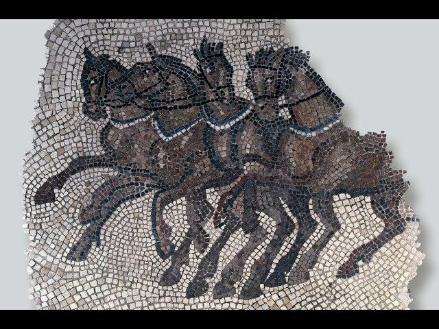
© Unbekannt - Zeichnung Markus Schaub

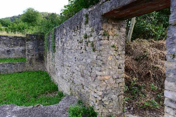
© Archäologie Baselland


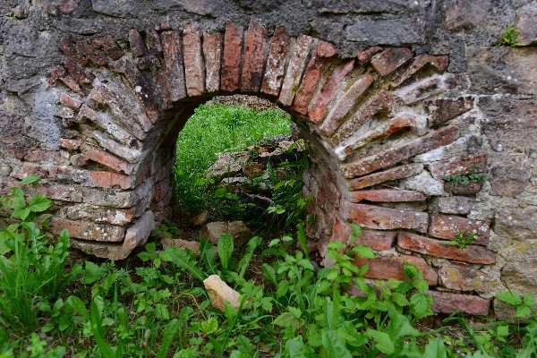
© Unbekannt
© Wanderwege beider Basel - Robert Horbaty

- Brief description
-
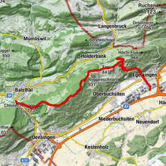
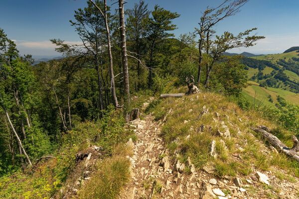
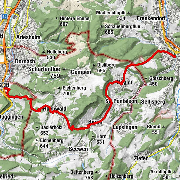
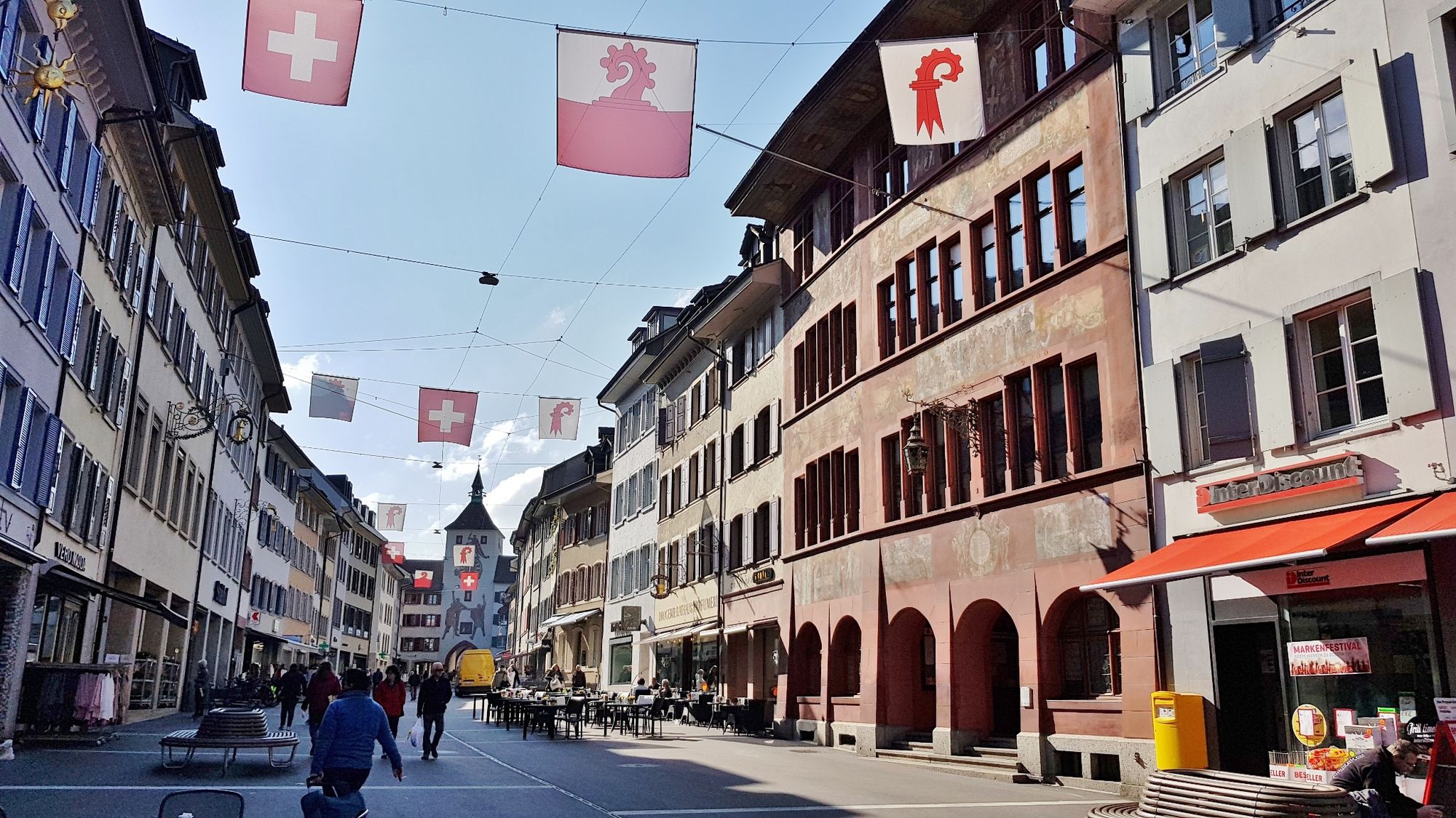
Die Wanderung durch den Baselbieter und Solothurner Tafeljura führt von Liestal an der Ergolz auf das Gempenplateau hinauf und ins Tal der Birs nach Aesch.
- Difficulty
-
easy
- Rating
-
- Route
-
Liestal (327 m)0.0 kmNuglar4.1 kmBüren (441 m)8.1 kmHochwald (620 m)11.8 kmGasthof Kreuz11.9 kmRestaurant Herrenmatt13.7 kmHerrenmatt13.7 kmOber-Aesch14.9 kmAngenstein15.8 kmAesch BL (299 m)16.6 kmAesch (315 m)16.6 km
- Best season
-
JanFebMarAprMayJunJulAugSepOctNovDec
- Highest point
- 709 m
- Endpoint
-
Bahnhof Aesch
- Height profile
-
 © outdooractive.com


-

-
AuthorThe tour Interregio-Wanderweg Etappe 6: Liestal – Aesch is used by outdooractive.com provided.
GPS Downloads


General info
Refreshment stop
Cultural/Historical
Flora
A lot of view
Other tours in the regions
-
Solothurn und Region
1454
-
Schwarzbubenland
828
-
Büren SO
332