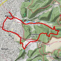


- Difficulty
-
easy
- Rating
-
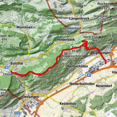
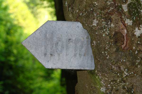
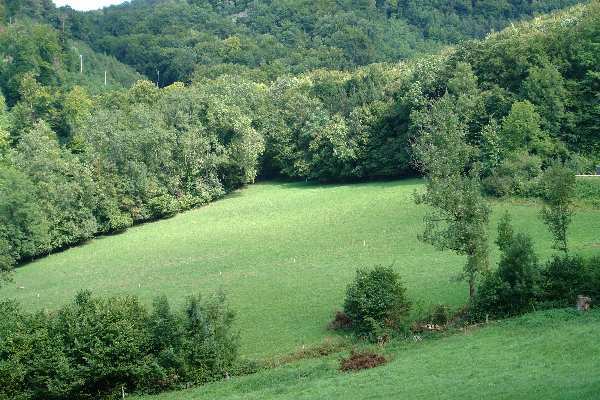
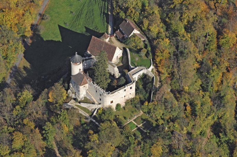
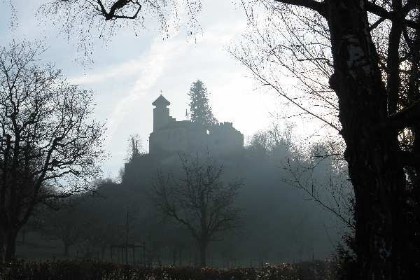
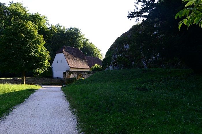
- Route
-
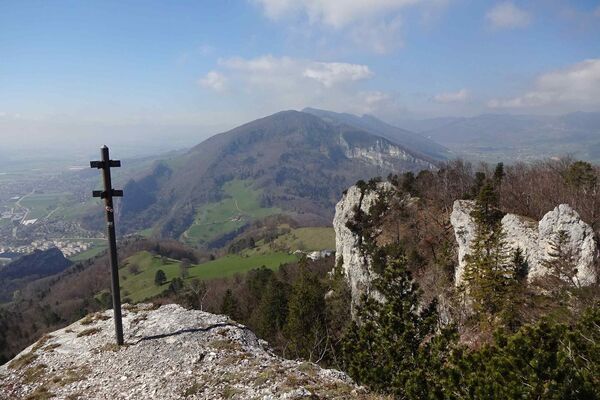
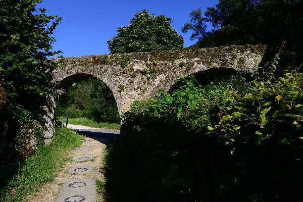
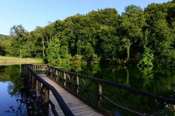
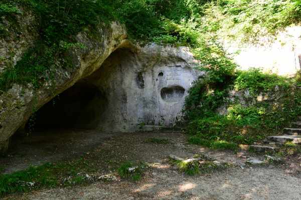
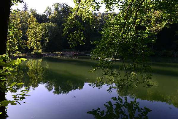
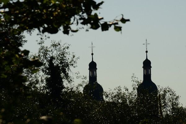
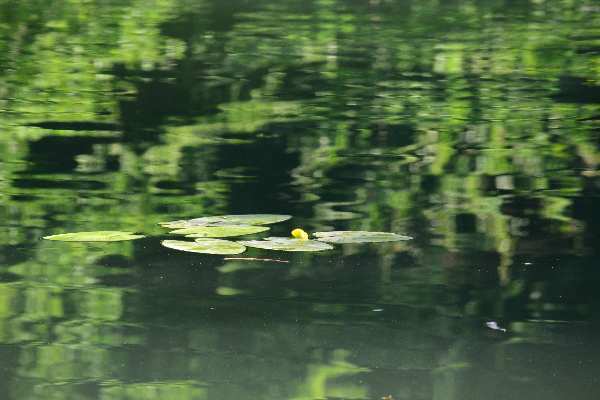
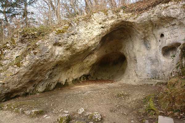
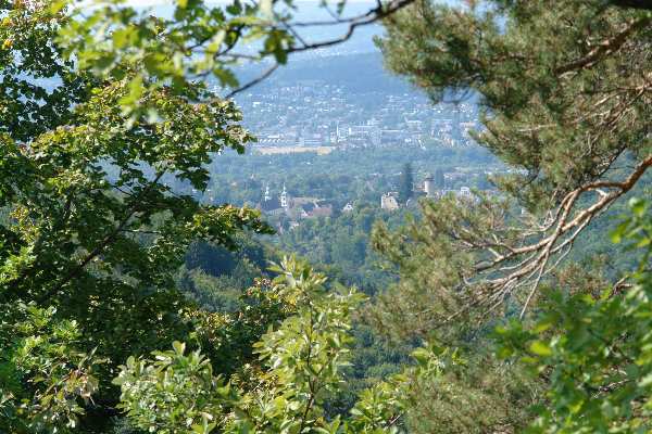
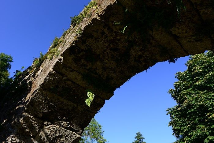
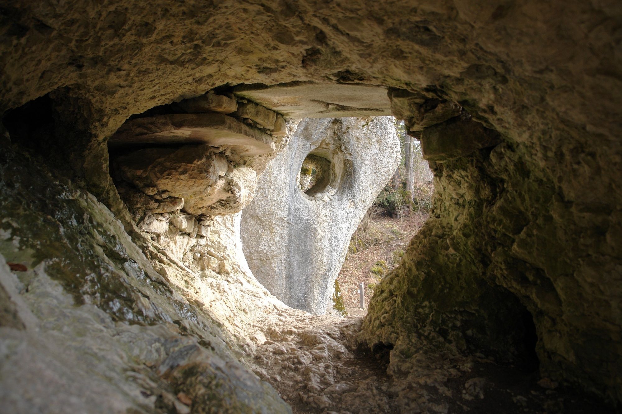
ArlesheimGemeindeberg4.2 kmProserpinagrotte4.9 kmArlesheim5.0 km
- Highest point
- 528 m
- Height profile
-
 © outdooractive.com


- Author
-
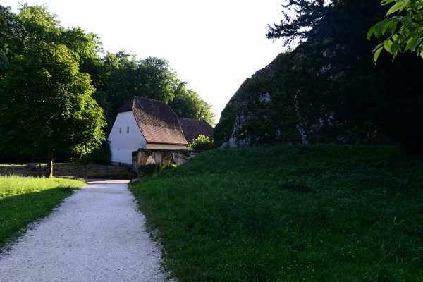
The tour Ermitage is used by outdooractive.com provided.
GPS Downloads


Other tours in the regions
-
Solothurn und Region
1456
-
Schwarzbubenland
830
-
Arlesheim
257