- Brief description
-
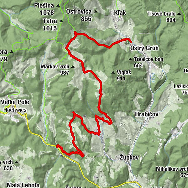
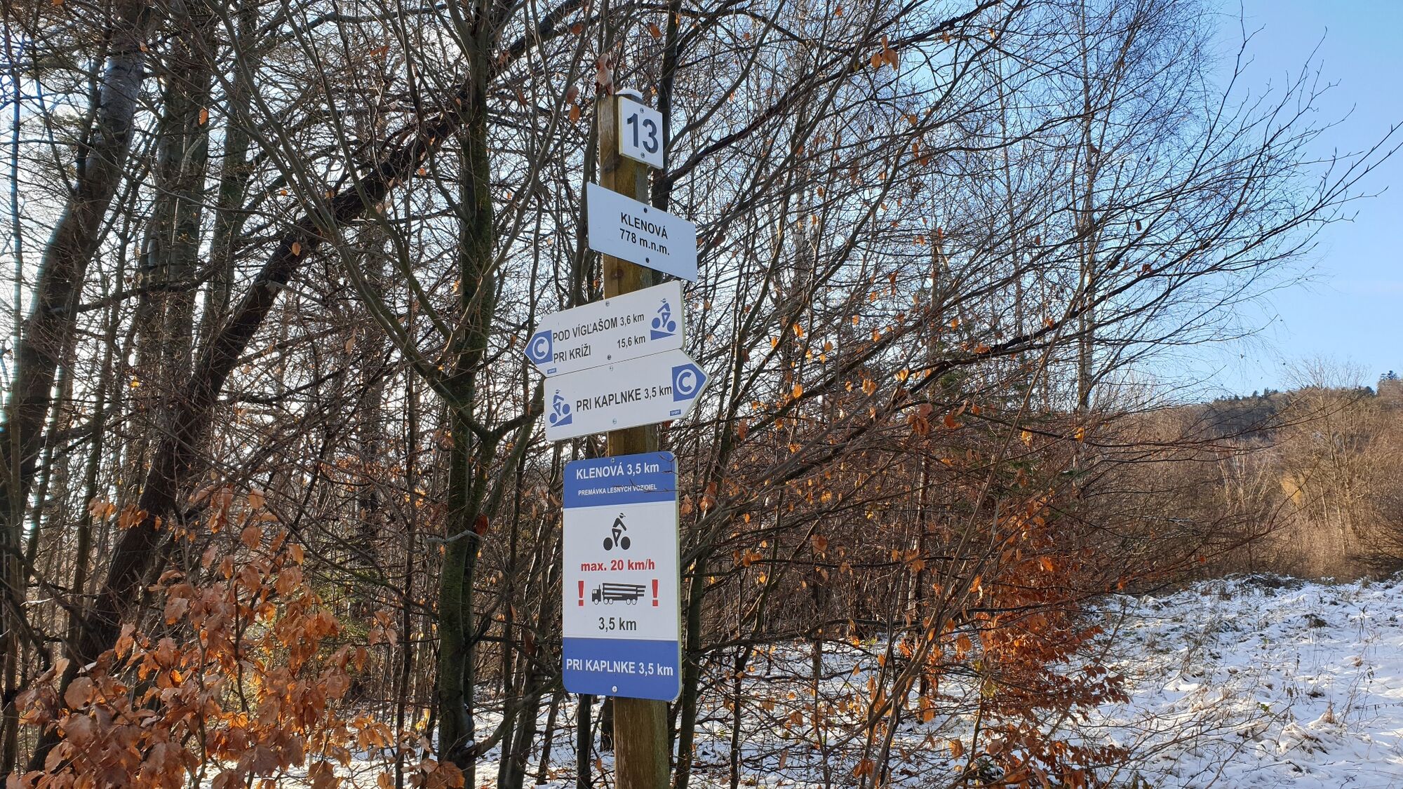
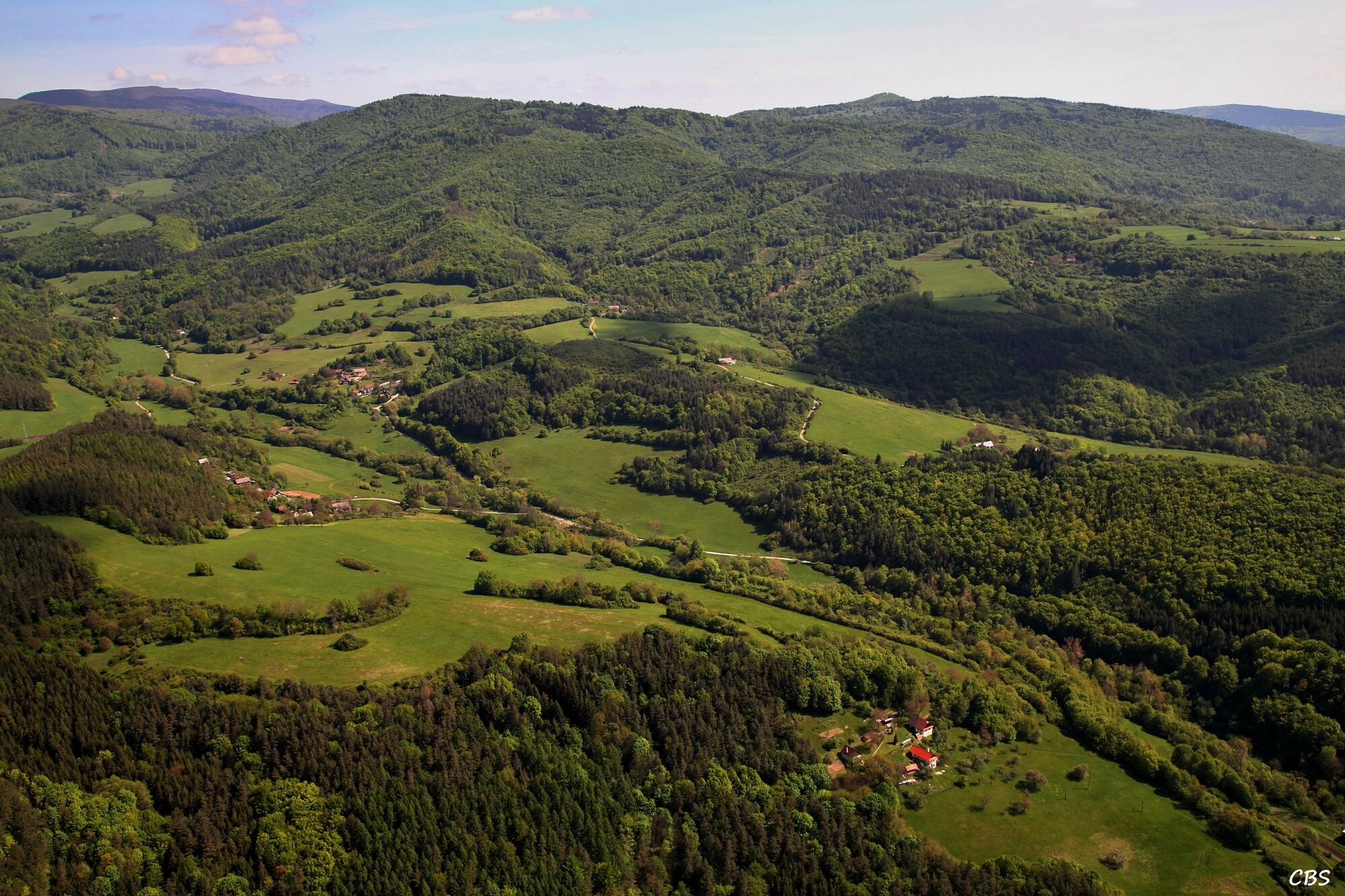
A linear cycle route that connects the village of Ostrý Grúň with the village of Píla within the Kľak cycle route network. It is suitable for more experienced and demanding cyclists.
- Difficulty
-
medium
- Rating
-
- Starting point
-
Kaplnka, Ostrý Grúň
- Route
-
Dlhá zeme7.7 kmU Dolných Jakálov17.7 km
- Best season
-
JanFebMarAprMayJunJulAugSepOctNovDec
- Highest point
- 858 m
- Endpoint
-
Pri Kríži, Píla
- Height profile
-
 © outdooractive.com
 - Directions
-
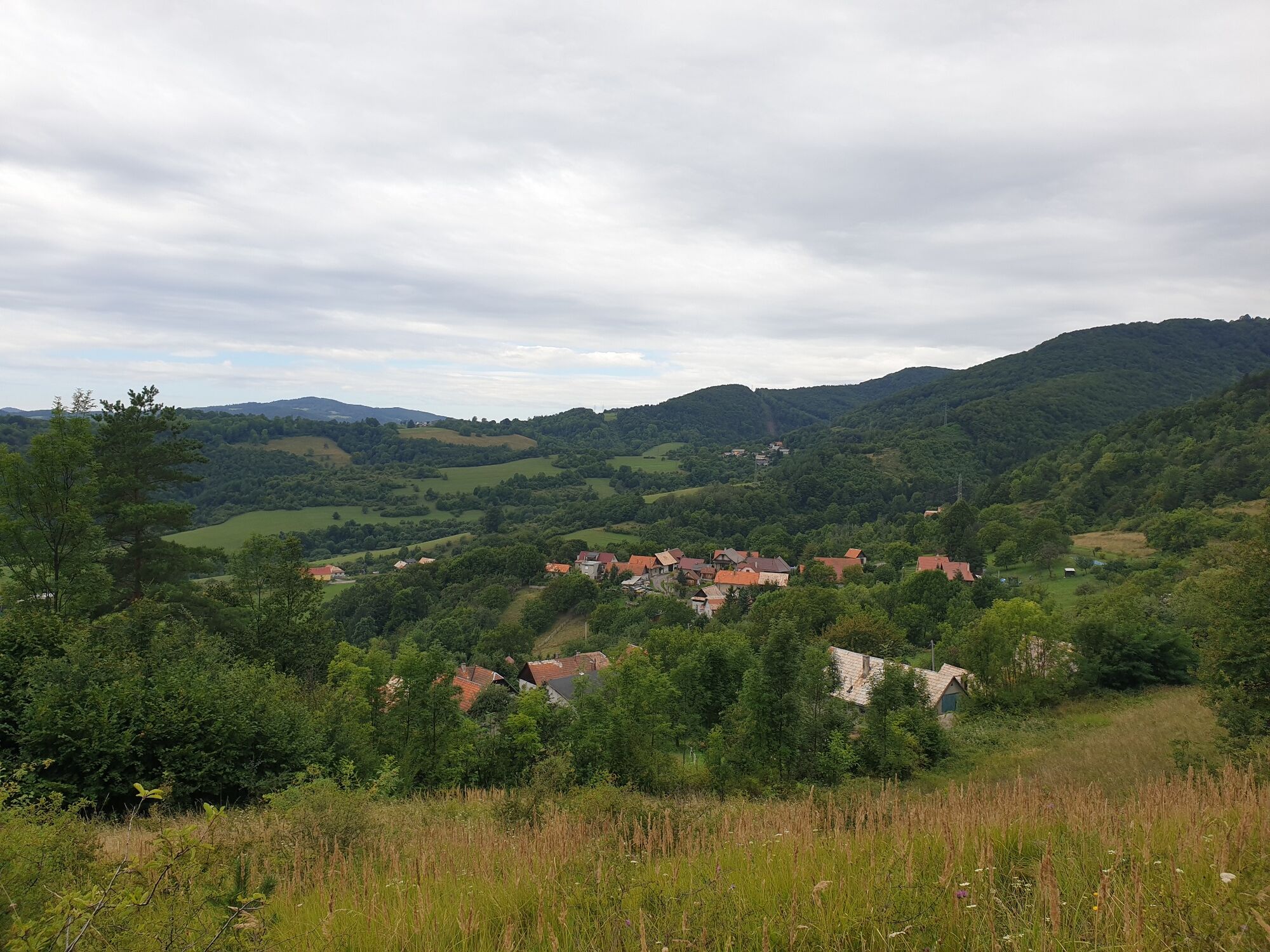
The best way to get there by car is to exit R1 road to the town of Žarnovica. In the town, turn towards Partizánske. Continue to Horné Hámre and at the end of the village turn right. You will come to Ostrý Grúň through the villages of Župkov and Hrabičov.
If you arrive from Trenčín, Prievidza or Partizánske, you will go through Veľké Pole mountain pass towards Žarnovica. At the beginning of the village of Horné Hámre turn left, and continue through Župkov and Hrabičov to Ostrý Grúň.
- Parking
-
Parking in the village for tourists and cyclists is not specifically reserved. Therefore, we recommend finding a free parking space at the main public buildings in the village centre: the municipal office, grocery shop, Dopravárik Hostel or in the parking areas along the road. The cycle route itself begins at the end of the village.
- Author
-
The tour From Ostrý Grúň To Píla is used by outdooractive.com provided.