Rundwanderung im Bühlertal: An der historischen Konfessionsgrenze

Hiking

© Hohenlohe + Schwäbisch Hall Tourismus e.V. - Jan Bürgermeister

© Hohenlohe + Schwäbisch Hall Tourismus e.V. - Hohenlohe + Schwäbisch Hall Tourismus e. V.
- Brief description
-
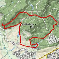
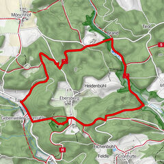
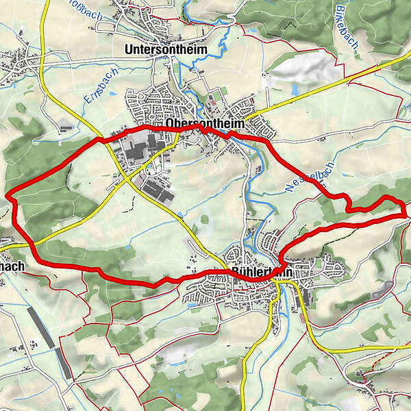
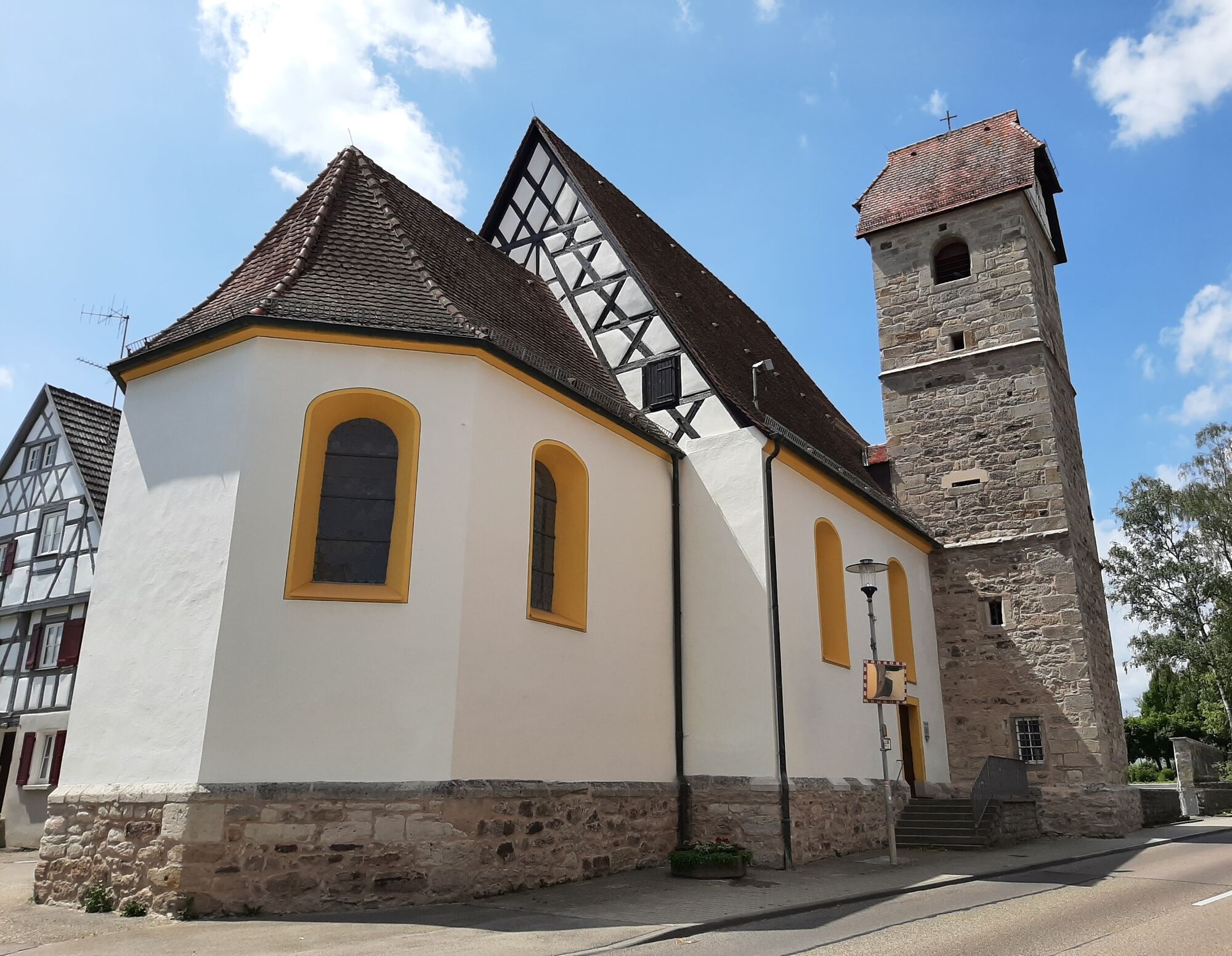
Die Rundwanderung "An der historischen Konfessionsgrenze" führt in die Umgebung von Obersontheim und Bühlertann.
- Difficulty
-
easy
- Rating
-
- Route
-
Landgasthof zum SternLandgasthof zum BärenBühlertannSt. Georg0.0 kmBuchenschnab2.6 kmHohes Kreuz4.2 kmEvangelische Kirche5.0 kmGasthaus Rössle5.0 kmObersontheim5.1 kmZum Ochsen5.4 kmFrauenklinge7.4 kmGalgenberg10.5 kmSt. Gangolfkapelle11.7 kmLandgasthof zum Bären11.8 kmBühlertann11.8 kmLandgasthof zum Stern11.8 kmSt. Georg11.9 km
- Best season
-
JanFebMarAprMayJunJulAugSepOctNovDec
- Highest point
- 451 m
- Endpoint
-
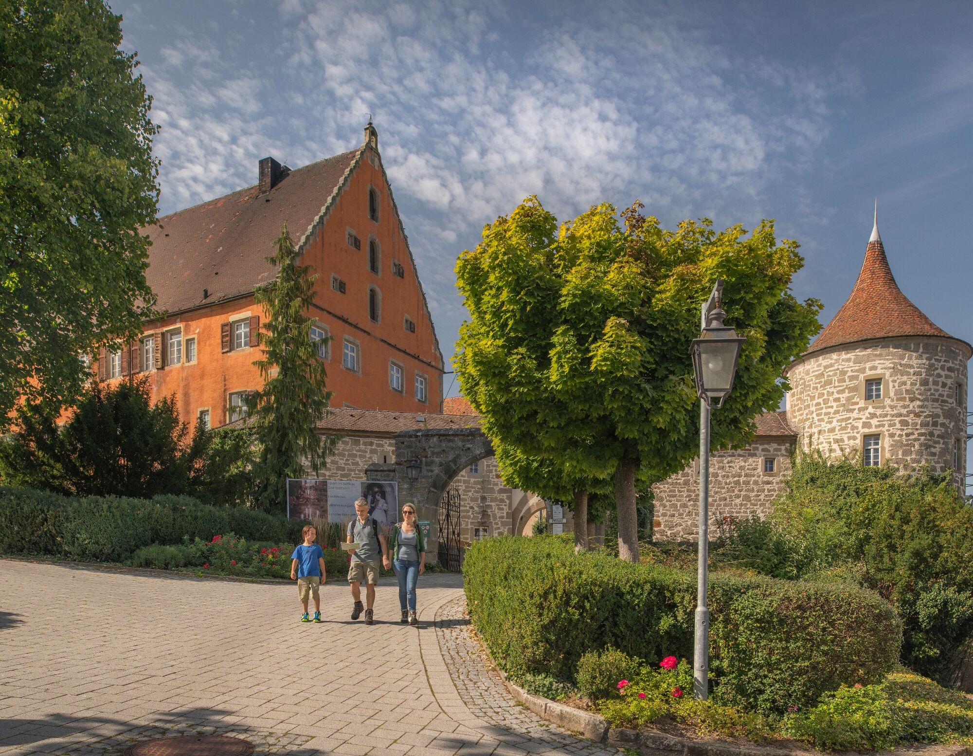
Kirchplatz (St.-Georgs-Platz) Bühlertann
- Height profile
-
 © outdooractive.com
- Author
-
The tour Rundwanderung im Bühlertal: An der historischen Konfessionsgrenze is used by outdooractive.com provided.
GPS Downloads


General info
Cultural/Historical
Other tours in the regions
-
Hohenlohe
1059
-
Ostalbkreis
312
-
Rosenberg
89