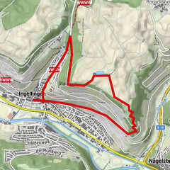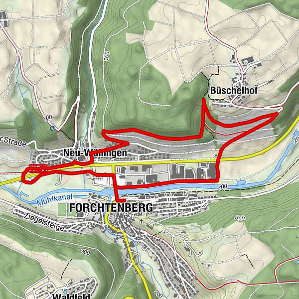
- Route
-
Forchtenberg0.1 kmWülfingen (Wüstung)0.4 kmNeu-Wülfingen1.8 km
- Best season
-
JanFebMarAprMayJunJulAugSepOctNovDec
- Highest point
- 290 m
- Endpoint
-
Parkplatz Bushaltestelle Forchtenberg
- Height profile
-
 © outdooractive.com
-

-
AuthorThe tour Nordic Walking in Hohenlohe- Talblickrunde Forchtenberg is used by outdooractive.com provided.
GPS Downloads


Other tours in the regions
-
Hohenlohe
19
-
Forchtenberg
11