Snooc - Pointe de la Croix hike (ski touring area - Col du Corbier)


- Brief description
-
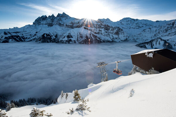
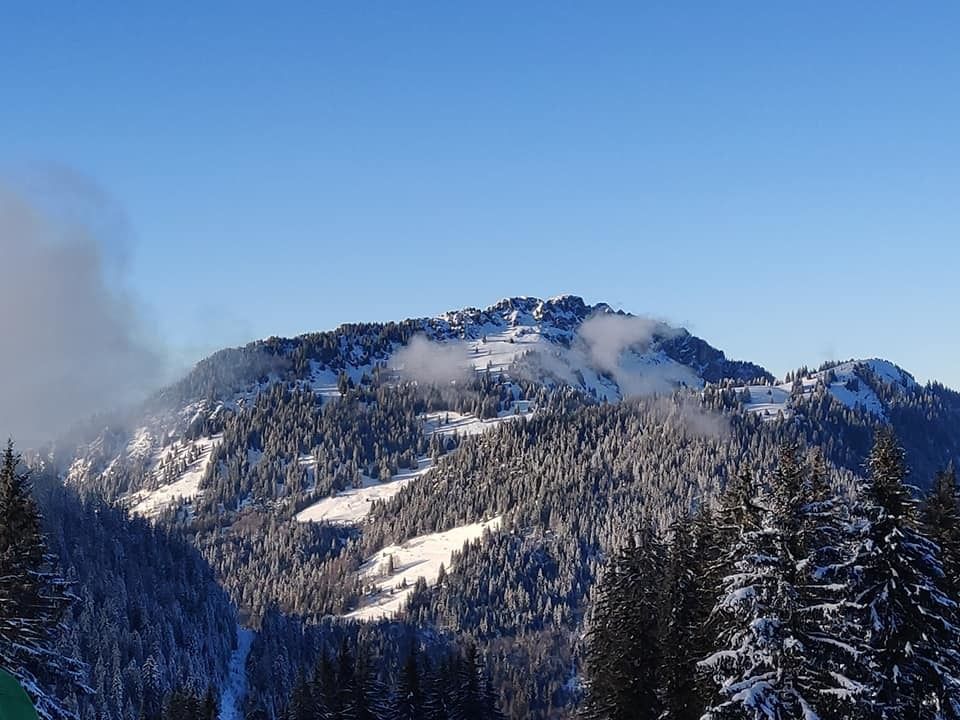
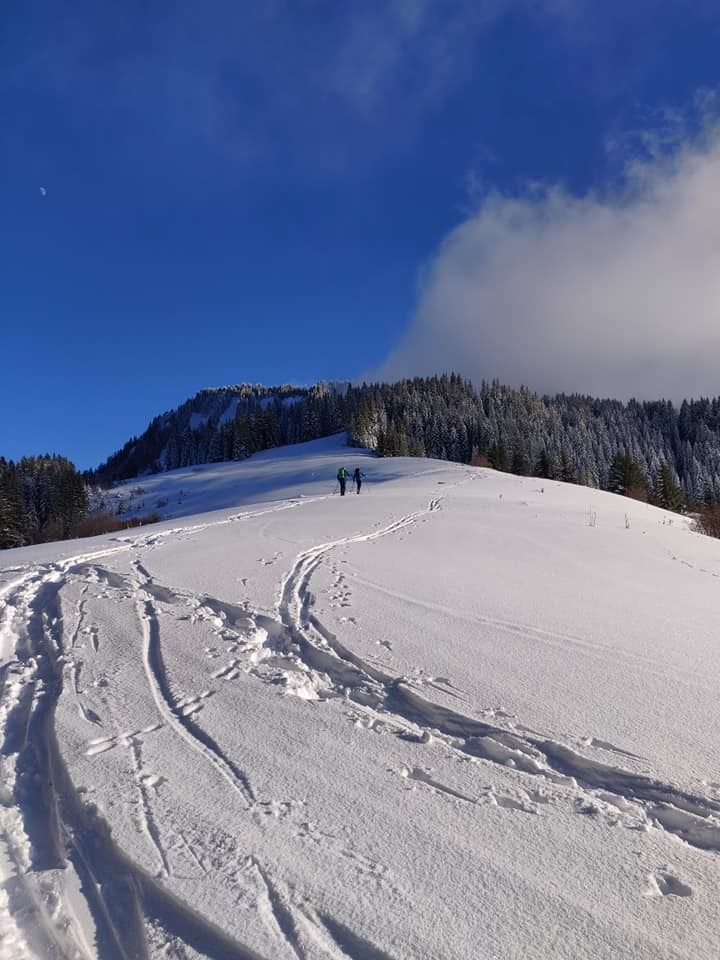
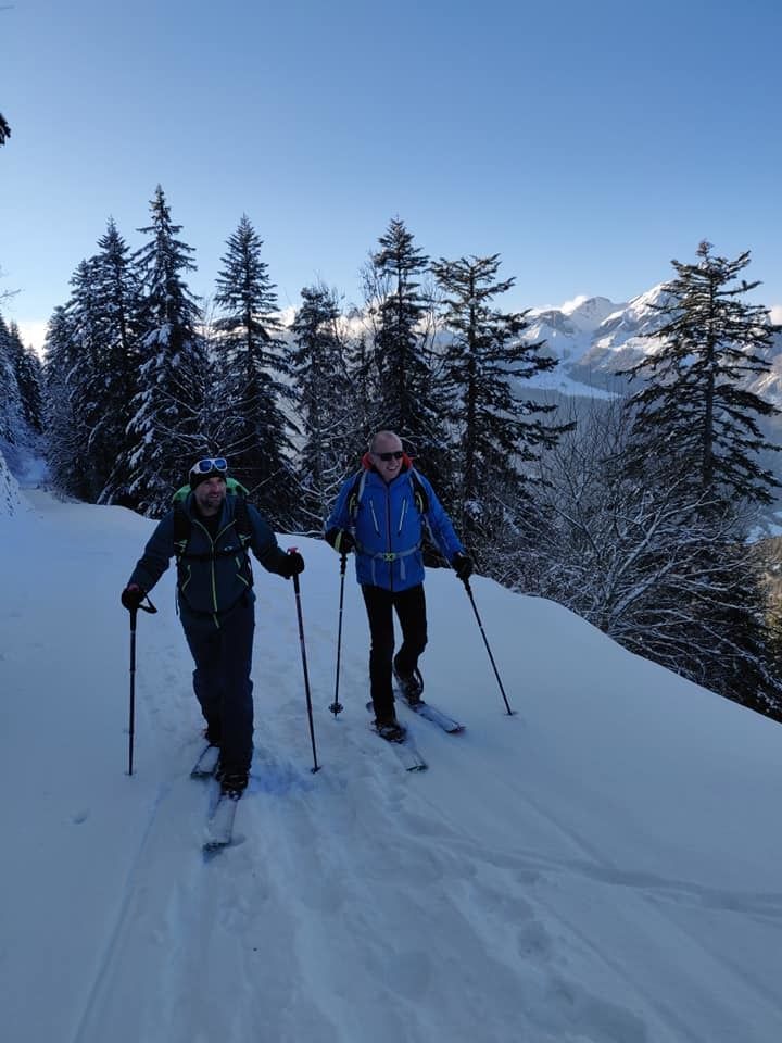
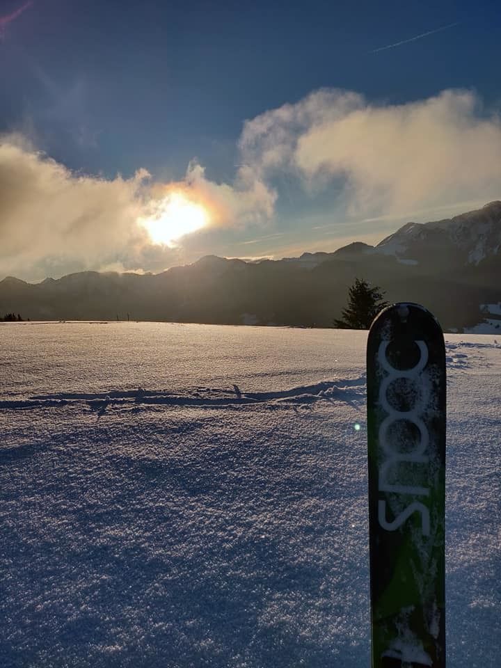
Snooc hike towards the Pointe de la Croix. Departure from the Col du Corbier - Haut-Cablais ski area. Course for sportsmen with magnificent landscapes and a view of the Mont-Blanc.
- Difficulty
-
medium
- Rating
-
- Starting point
-
espace ski de rando - col du corbier
- Best season
-
AugSepOctNovDecJanFebMarAprMayJunJul
- Description
-
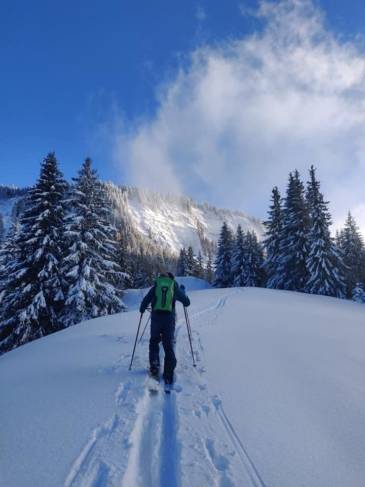
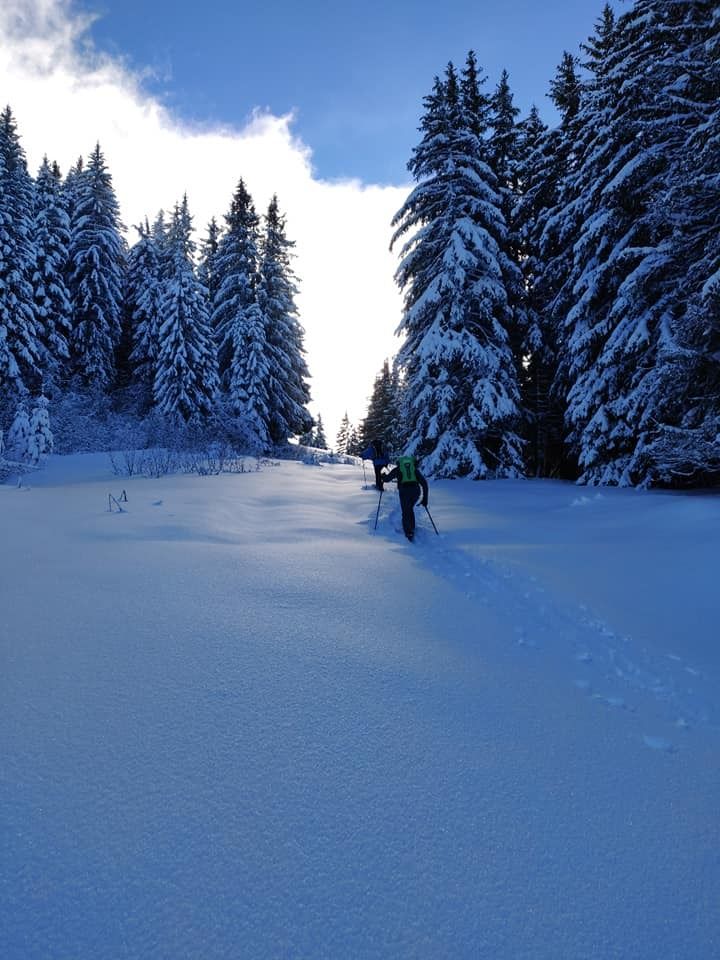
A magnificent Snooc course offering a long ascent with beautiful landscapes and a beautiful descent not too technical. Many variations are possible.
- Directions
-
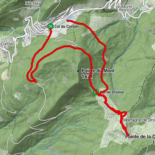
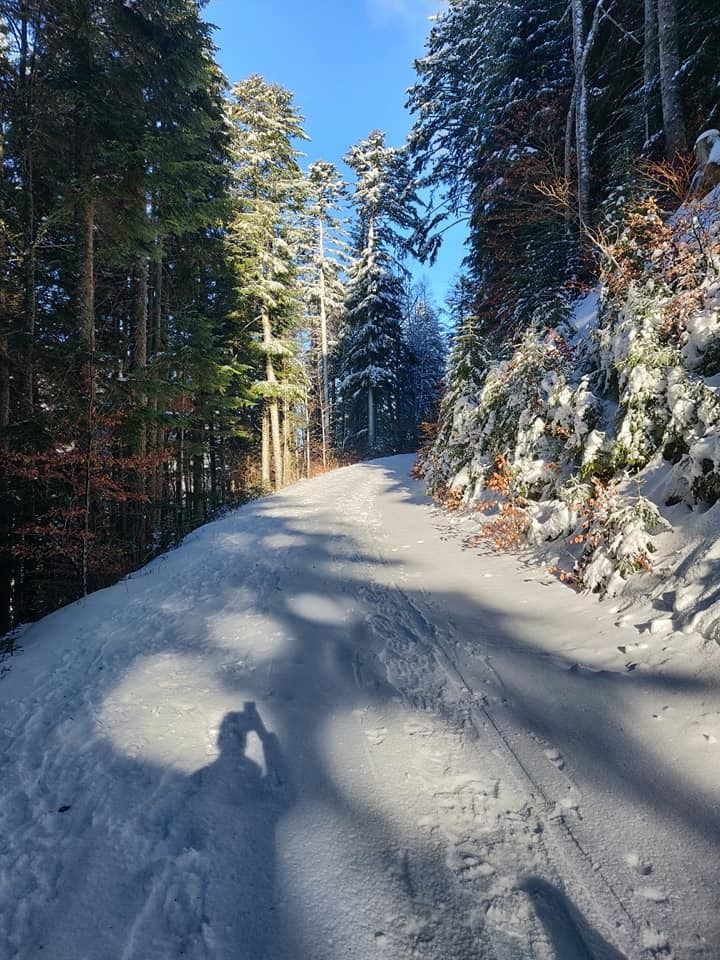
departure from the parking lot of Col du Corbier. Turn right in the direction of "Les Praux" (view of Mont Blanc behind you). At the first crossroads, turn left and you continue to climb up to the Col de la Droline (at 2.2km, you can go back down to the starting point by turning left at the "patte d'oie"). At the top of the Col de la Droline, you have to go up by the left side of the forest. Some passages are steep and will require Z (conversions). The top of the difficulty is symbolized by a shed on which you will climb to make the conversion from Snooc to downhill mode. The first part of the descent up to the Col de la Droline is on the tracks of the ascent. Beware an area with barbed wire. At the Col, turn left for 300m and then left again. Here you are on the way back alternating steep passages and flat areas where you will have to walk at certain times. The path takes you to the foot of the ski slope of the resort. All you have to do now is go up 300 metres to the car park.
- Highest point
- 1,618 m
- Endpoint
-
espace ski de rando - col du corbier
- Height profile
-
 © outdooractive.com
 - Equipment
-
Après-ski, gloves, winter clothes, 30 litre bag.
- Safety instructions
-
Watch out for the beard in the undergrowth before the droline hill on the way down.
- Tips
-
The second part of the ascent (from Droline) is harder but the landscapes are magnificent. A picnic at the summit is a must.


-
-
AuthorThe tour Snooc - Pointe de la Croix hike (ski touring area - Col du Corbier) is used by outdooractive.com provided.