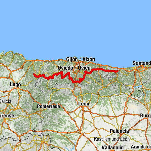
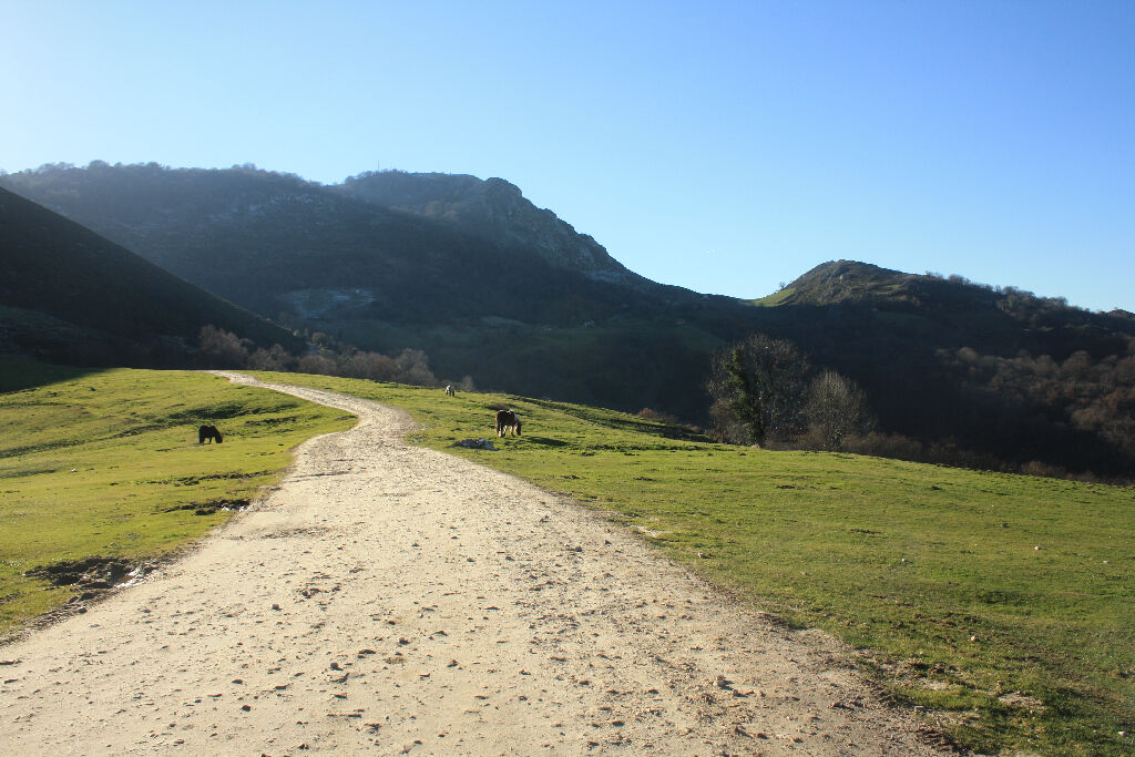
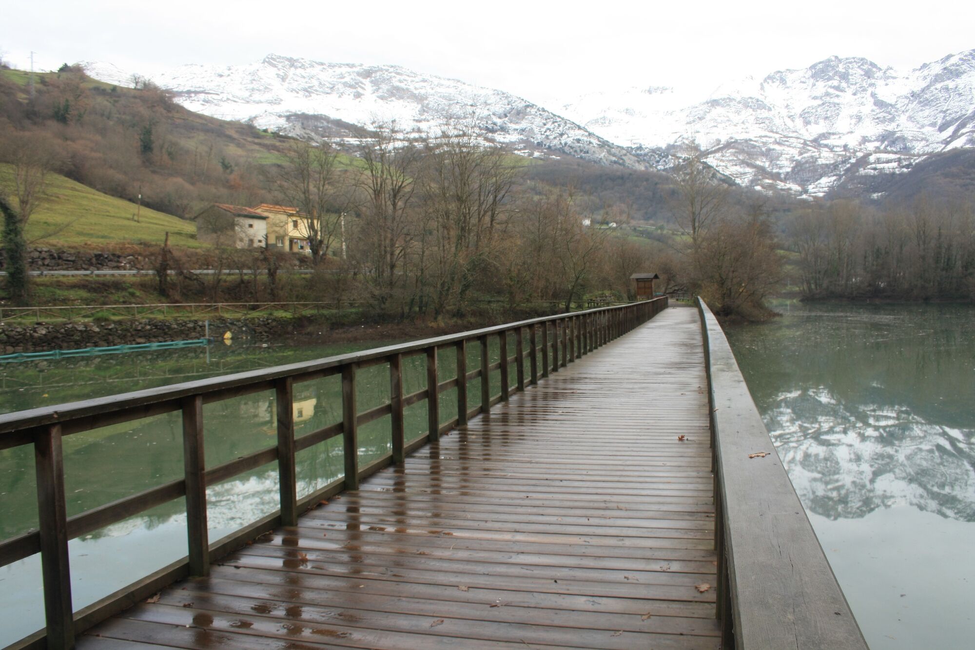
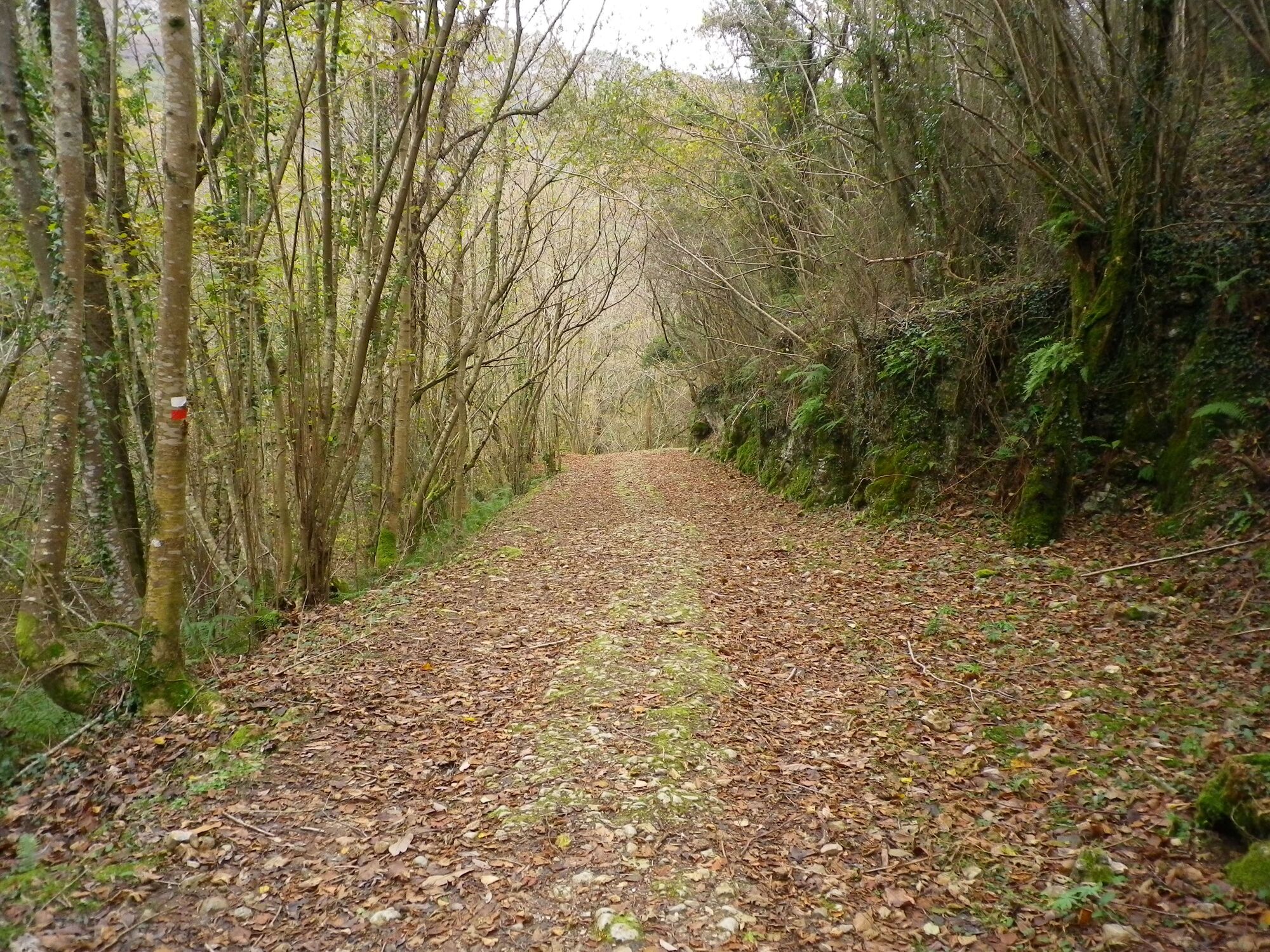
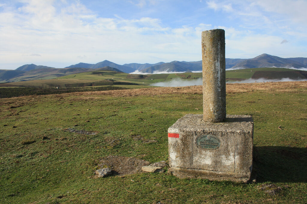
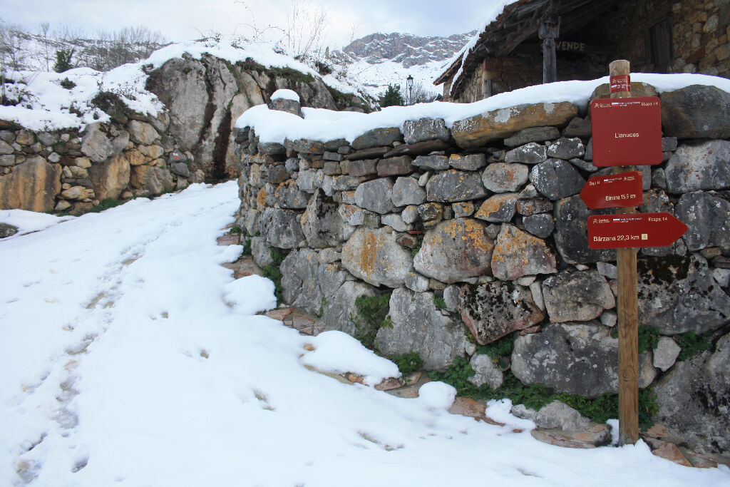
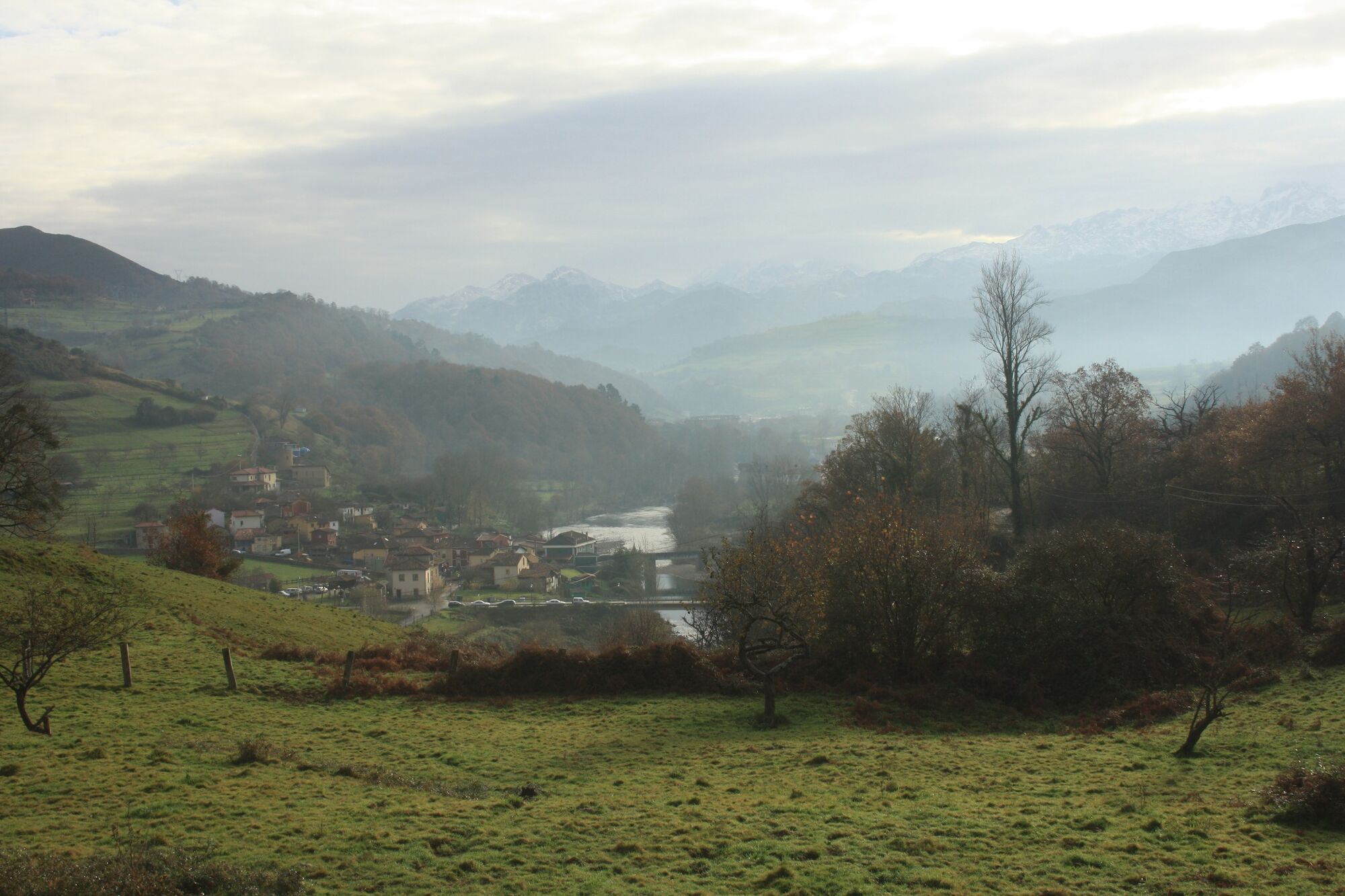
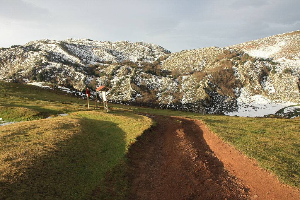
Camino Natural de la cordillera Cantábrica. Asturias Interior.
long-distance walking trail

© Spanisches Fremdenverkehrsamt - Caminos Naturales

© Spanisches Fremdenverkehrsamt - Caminos Naturales

© Spanisches Fremdenverkehrsamt - Caminos Naturales

© Spanisches Fremdenverkehrsamt - Caminos Naturales

© Spanisches Fremdenverkehrsamt - Caminos Naturales

© Spanisches Fremdenverkehrsamt - Caminos Naturales

© Spanisches Fremdenverkehrsamt - Caminos Naturales

© Spanisches Fremdenverkehrsamt - Caminos Naturales

© Spanisches Fremdenverkehrsamt - Caminos Naturales

© Spanisches Fremdenverkehrsamt - Caminos Naturales
Tour data
513.02km
20
- 1,596m
18,565hm
17,979hm
170:00h

Spanisches Fremdenverkehrsamt
- Brief description
-
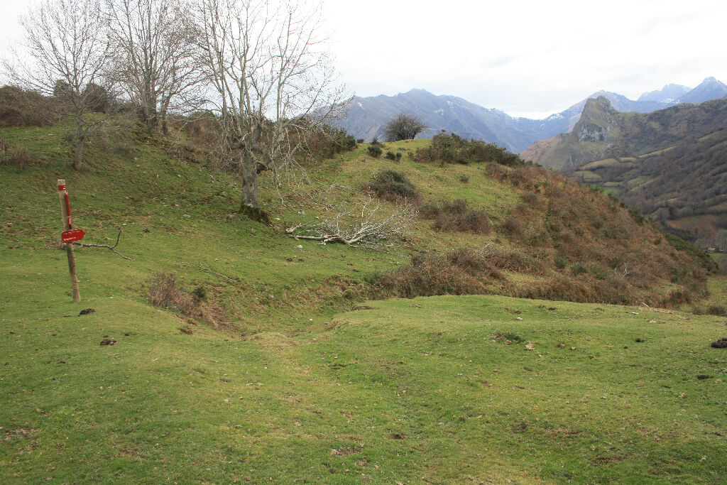
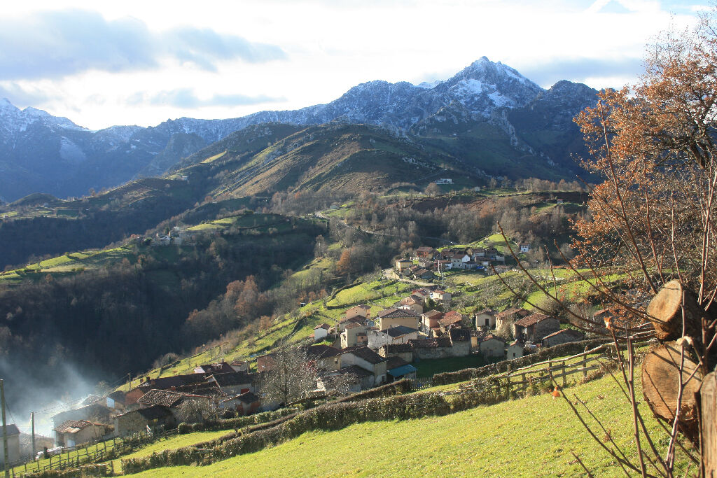
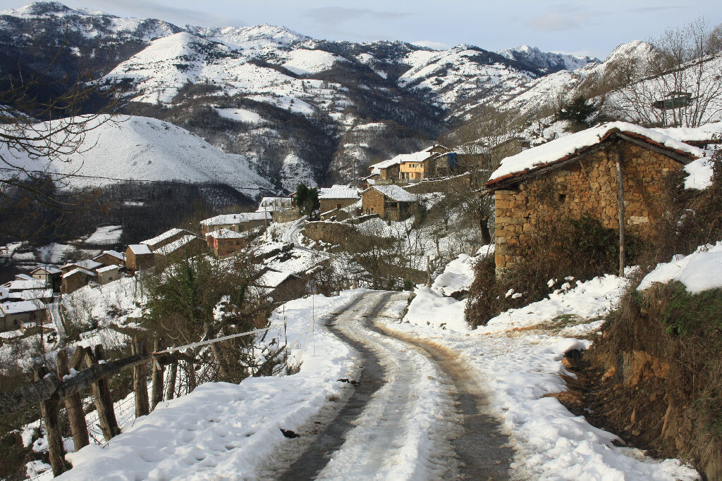
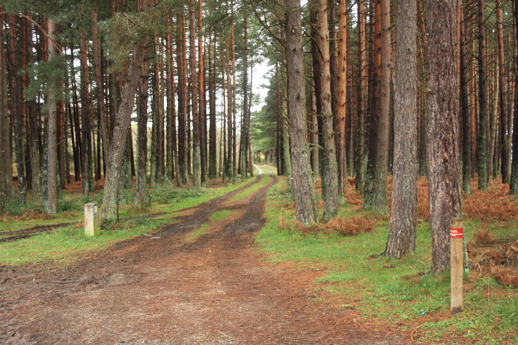
Der Camino Natural de la cordillera Cantábrica durchquert das Innere Asturiens von Osten nach Westen. Die Route beeindruckt den Wanderer in vielerlei Hinsicht: Naturlandschaften von außergewöhnlicher Schönheit, spektakuläre Bergregionen und eine ländliche Welt, in der die Bräuche und die traditionelle Arbeit auf dem Lande in zahlreichen Herrenhäusern und Dörfern die Lebensweise prägen.
- Highest point
- 1,596 m
- Endpoint
-
Santa Eulalia de Oscos
- Height profile
-
 © outdooractive.com


- Author
-
Spanisches FremdenverkehrsamtThe tour Camino Natural de la cordillera Cantábrica. Asturias Interior. is used by outdooractive.com provided.