- Brief description
-
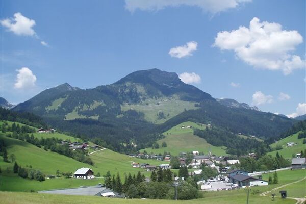
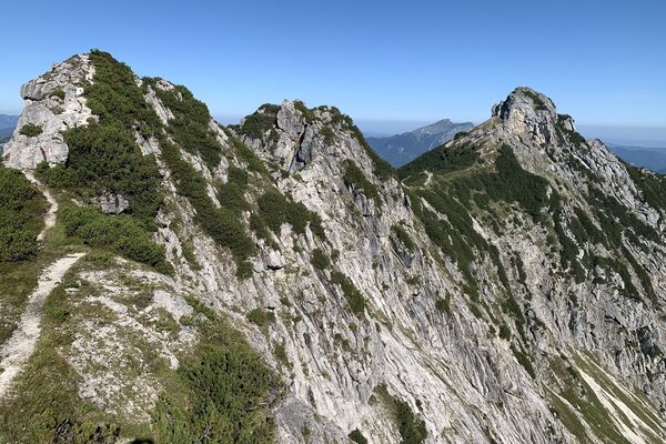
Am Fuße des prächtigen Gosaukammes geht es von Hütte zu Hütte.
- Difficulty
-
medium
- Rating
-
- Route
-
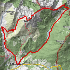
Annaberg im Lammertal0.1 kmSteuer1.5 kmAlpendorf Dachstein West1.9 kmAstau2.7 kmPommer3.4 kmEbnerlehen3.9 kmStuhlalm7.3 kmTheodor-Körner-Hütte7.7 kmEbnerlehen11.4 kmPommer11.9 kmAstau12.6 kmAlpendorf Dachstein West13.4 kmSteuer13.8 kmAnnaberg im Lammertal15.3 km
- Best season
-
JanFebMarAprMayJunJulAugSepOctNovDec
- Highest point
- 1,467 m
- Endpoint
-
Ortszentrum, Annaberg
- Height profile
-


- Author
-
The tour Annaberg: Stuhlalm - Theodor Körner Hütte (16 Punkte) is used by outdooractive.com provided.
GPS Downloads


General info
Refreshment stop
A lot of view
Other tours in the regions